Old Maps of Hanksville, Utah for Academic Research
Study the evolution of Hanksville with 12 high-resolution historic maps. Whether you're teaching, researching, or modeling changes in land use, these maps provide essential visual documentation of urban, environmental, and geographic change.
- Analyze long-term change: Track patterns in development, transportation, and natural features.
- Ideal for environmental or urban studies: Support academic projects with primary historical map data.
- Use in the classroom or lab: Educators and researchers rely on these maps to bring historical context to life.
These maps are a powerful tool for teaching, research, and visualizing how Hanksville has changed over the decades.
Hanksville, UT maps
(12)- 1885 Map of San Rafael
 1885 San Rafael1885 Print · USGSCentral Utah at the height of the Powell Survey reveals a land defined by water and stone. Genealogists and historians can locate early settlements like Tidwell and Blake or trace the intricate river systems of Labyrinth Canyon and San Rafael Valley.5 unique versions available
 - 1954 Map of Mt. Ellen 1 NW, 1956 Print
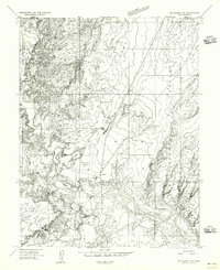 1954 Mt. Ellen 1 NW1956 Print · USGSWayne and Emery County navigation and desert drainage are frozen in time during the mid-fifties. Researchers can trace early aviation landmarks like Hanksville Landing Field or the junction of Muddy Creek and the Dirty Devil River.
 - 1954 Map of Mt. Ellen 1 SW, 1956 Print
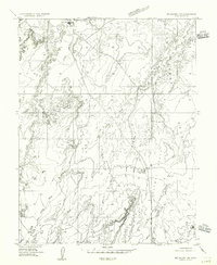 1954 Mt. Ellen 1 SW1956 Print · USGSHanksville and the surrounding desert landscape are captured here in the mid-fifties, showing the early infrastructure of this remote corner of Wayne County. Researchers can trace historical access routes like Sawmill Basin Road and locate landmarks such as the Landing strip and White Point.
 - 1956 Map of Salina
 1956 Salina1956 Print · USGSCentral Utah in the mid-fifties reveals a landscape of high plateaus and desert basins before the modern highway era. Researchers can trace the ranching and mining roots of Hanksville and Loa or locate the Lucky Strike Mine near the San Rafael Swell.5 unique versions available
 - 1960 Map of Salina
 1960 Salina1960 Print · USGSThe high plateaus and canyonlands of south-central Utah appear in the early sixties as a region of remote ranching towns and developing parklands. Researchers can trace historic settlements like Fruita and Loa or locate the uranium mines and the tracks of the Denver and Rio Grande Western RR.2 unique versions available
 - 1962 Map of Salina
 1962 Salina1962 Print · USGSSevier County and the surrounding desert wilderness appear here in the early sixties as a network of isolated river valley towns and high-altitude forests. Researchers can locate remote landmarks like Fruita, trace the Denver & Rio Grande Western RR, and find backcountry sites like the Aquarius Ranger Station.
 - 1963 Map of Hanksville, 1965 Print
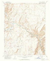 1963 Hanksville1965 Print · USGSHanksville and the surrounding high desert are documented here during the early 1960s as aviation and energy interests moved into the region. Local historians can trace the town's footprint near the Hanksville Cem and the confluence of the Fremont River and Muddy Creek.3 unique versions available
 - 1980 Map of Hanksville, 1987 Print
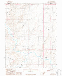
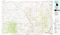 1980 Hanksville1987 Print · USGSHanksville and the surrounding high desert are captured in the early 1980s, showcasing a landscape of dramatic topography and isolated outposts. Researchers can trace the rugged drainage of the Dirty Devil River and locate landmarks like the Factory Butte Mine and Robbers Roost Flats.2 unique versions available
 - 1987 Map of The Notch
 1987 The Notch1987 Print · USGSHanksville in the late 1980s centers on the confluence where two rivers form the Dirty Devil. Genealogists and desert historians can trace the local Cem, the early Hanksville Airport, and topographic landmarks like The Notch and Wild Horse Mesa.
 - 1987 Map of Hanksville
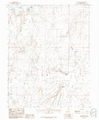 1987 Hanksville1987 Print · USGSHanksville in the early 1980s is captured here at the junction of the Fremont River and the desert plains. Researchers can trace the town's footprint, including the Trailer Park, and follow cattle-era landmarks like Beef Hollow Reservoir and Penitentiary Point.
 - 2023 Map of Hanksville, 2023 Print
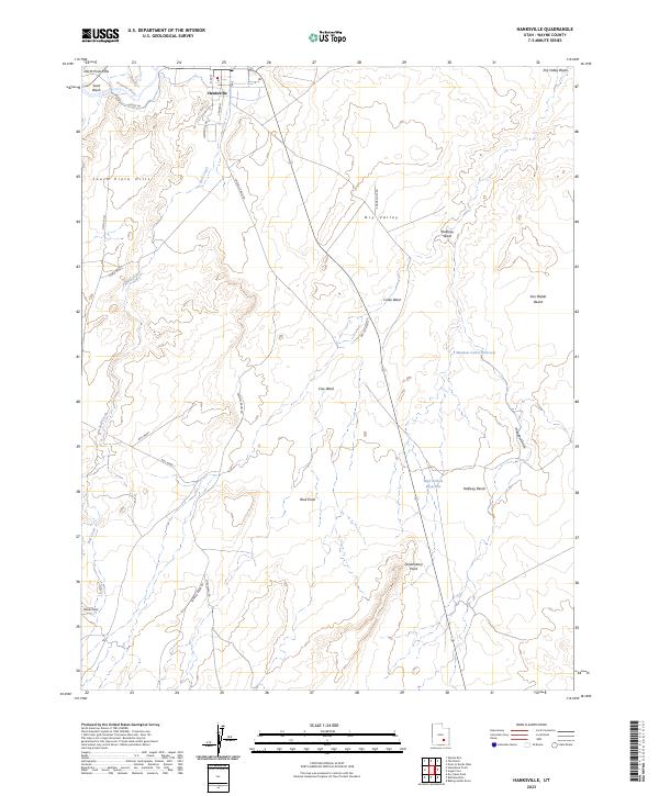 2023 Hanksville2023 Print · USGSThe desert settlement of Hanksville is shown in detail during the early 2020s, highlighting its vital position at the Fremont River confluence. Researchers can trace local landmarks like Penitentiary Point, navigate the San Rafael Desert, or locate water resources at Beef Hollow Reservoir.
 - 2023 Map of The Notch, 2023 Print
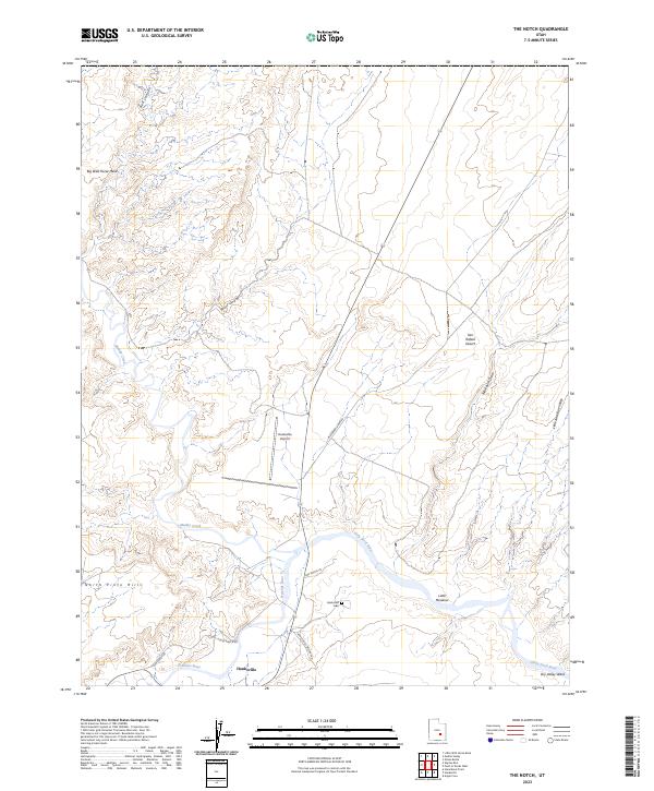 2023 The Notch2023 Print · USGSHanksville and the surrounding high desert are documented here in 2023 at the confluence of the desert's major waterways. Researchers can trace local landmarks and infrastructure like the Hanksville Cem, Hanksville Airport, and the winding course of the Dirty Devil River.
End of results
Showing maps 1-12 of 12
Frequently asked questions
- What are the different types of historical maps available for Hanksville?
- What is the oldest map of Hanksville?
- Where can I purchase historical maps of Hanksville for my home or office?
- Where can I download high-res historical maps of Hanksville?
- Are there historical topographic maps available for Hanksville?
- Is there historical aerial imagery available for Hanksville?
- Where are historical maps of Hanksville sourced from?