1990s Maps of Weber County, Utah
Explore 41 historic maps of Weber County from the 1990s. These maps offer a rare glimpse into what life looked like during the 1990s — showing old roads, neighborhoods, homes, and landmarks that have changed or disappeared over time.
Whether you're researching your family's past, planning a metal detecting trip, or studying how Weber County's landscape evolved across the 1990s, these high-resolution maps are a powerful tool for exploring the history of this region.
- Focus on a specific era: All maps on this page are from the 1990s, giving you a focused view of this time period.
- See what’s changed: Compare century-old streets, trails, and buildings to today's modern landscape using overlays and satellite layers.
- Research with precision: Use these maps for genealogy, historical research, land use analysis, or educational projects.
- View, download, or print: Maps are fully viewable online in high resolution, and can be downloaded or printed for your own records.
Start exploring Weber County's history through authentic maps from the 1990s. This is your window into the past.
Weber County, UT maps
(41)- 1990 Map of Bybee Knoll
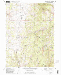
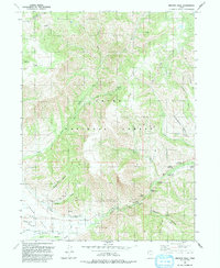
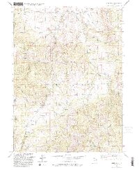
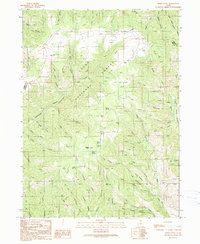 1990 Bybee Knoll1990 Print · USGSThe high country of the Morgan and Weber county line is captured here in the late twentieth century. Genealogists and researchers can trace family-named landmarks like Bybee Knoll, Tom Condies Hollow, and Hoodoo Knoll across the forest landscape.
 - 1990 Map of Durst Mountain
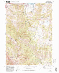
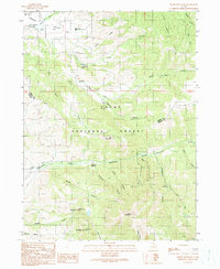 1990 Durst Mountain1990 Print · USGSThe Morgan and Weber county borderlands are shown in the early 1990s as the high-country landscape transitions from valley ranching to rugged forest terrain. Researchers can locate the Monastery and its namesake Bennett Monastery Spring, or trace drainage through Cottonwood Creek and Deadman Gulch.
 - 1990 Map of Roy
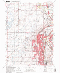 1990 Roy1990 Print · USGSThe corridor between Ogden and Clinton is shown here in the 1990s, defined by its massive military installations and expanding suburban grid. Researchers can trace local landmarks like Clinton Cem, the Ogden Municipal Airport, and the former Old Railroad Grade.2 unique versions available
 - 1991 Map of Horse Ridge
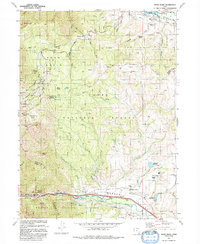
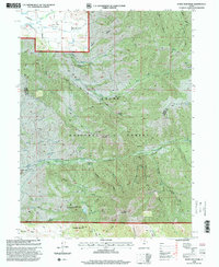
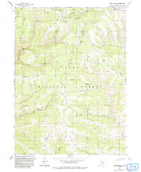 1991 Horse Ridge1991 Print · USGSHigh in the northern Wasatch Range during the early nineties, this survey documents the rugged intersection of Weber, Rich, and Morgan counties. Researchers can trace remote geographic landmarks like Squaw Butte, the drainage of Sawmill Canyon, and the numerous springs feeding the South Fork Ogden River.
 - 1991 Map of Monte Cristo Peak
 1991 Monte Cristo Peak1991 Print · USGSThe high country of the Wasatch Range is captured here in the early 1990s, where three county lines meet in a landscape of peaks and alpine valleys. Trace the headwaters of the Bear River and locate remote landmarks like Monte Cristo Peak, Dry Bread Pond, and the secluded Limestone Spring.2 unique versions available
 - 1991 Map of Lost Creek Dam
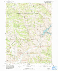 1991 Lost Creek Dam1991 Print · USGSThe Morgan and Weber County line runs through this mountainous terrain during the early 1990s, centered on the waters of Lost Creek Reservoir. Researchers can trace old mining interests at the Robinson Mine or follow the rugged 4WD trails through Hell Canyon.
 - 1991 Map of Sharp Mountain
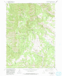 1991 Sharp Mountain1991 Print · USGSThe high ridges of the Cache National Forest come into focus in the early nineties, revealing the deep canyons and mining history of the Utah mountains. Trace old prospecting routes and water sources like the La Plata Mine, Sharp Mountain, and Cinnamon Creek.
 - 1991 Map of Causey Dam
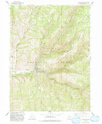 1991 Causey Dam1991 Print · USGSThe Weber County mountains come into focus during the early 1990s as the Cache National Forest surrounds the deep waters of Causey Reservoir. Researchers can trace the winding Pack Trail, old ranching sites like Red Rock Ranch, and the scout camp at Camp Kiesel.
 - 1991 Map of Willard Spur
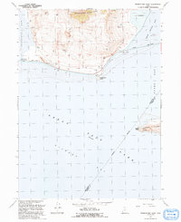
 1991 Willard Spur1991 Print · USGSThe northeastern reaches of the Great Salt Lake are shown in the early nineties, where industry and military training meet the water. Researchers can trace the complex system of Salt Evaporators and Pumping Stations near the Air Force Training Annex.
 - 1991 Map of Fremont Island
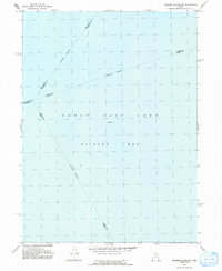
 1991 Fremont Island1991 Print · USGSThe Great Salt Lake in the early nineties features the prominent Fremont Island and its surrounding bays. Local history enthusiasts can trace the Lucin Cutoff rail line or locate the Ruins Graves and David E Miller Hill.
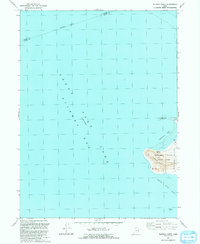
 - 1991 Map of Fremont Island SW
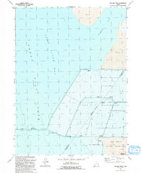
 1991 Fremont Island SW1991 Print · USGSThe waters of Gilbert Bay are the primary focus of this late-century survey of the Great Salt Lake. Researchers can trace the convergence of several underwater county lines, including the Weber Co Davis Co and Davis Co Tooele Co boundaries.
 - 1991 Map of Dairy Ridge
 1991 Dairy Ridge1991 Print · USGSRich County's high-country ridgelines are mapped here in the early nineties, showing a landscape defined by forest service outposts and a network of named springs. You can trace early land use and backcountry access via 4WD tracks to Eccles Peak, the Monte Cristo FS Sta, and the Dairy Ridge Reservoir.
 - 1991 Map of Promontory Point
 1991 Promontory Point1991 Print · USGSThe northern reaches of the Great Salt Lake are captured in the early 1990s at the terminus of the Promontory Mountains. Trace the industrial footprint of the Lucin Cutoff and find early sites like the settlement at Saline or Fremont Island.
 - 1991 Map of Ogden Bay
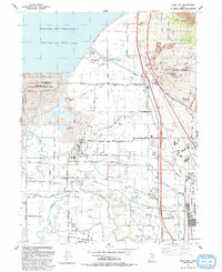
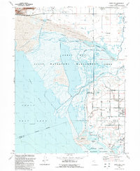 1991 Ogden Bay1991 Print · USGSThe Weber River delta in the early nineties shows a fascinating mix of managed wetlands and rural Utah settlements. Trace the agricultural layout of Hooper and West Warren, or locate historic sites like Hales Bend and the local Cem.
 - 1991 Map of Browns Hole
 1991 Browns Hole1991 Print · USGSThe high canyons of Weber County are documented here in the early nineties, centered on the South Fork Ogden River drainage. Trace the developed recreational landscape of Cache National Forest through sites like Camp Red Cliff and Willows Campground.
 - 1991 Map of Plain City SW
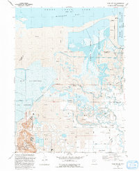 1991 Plain City SW1991 Print · USGSThe marshy eastern edge of the Great Salt Lake is documented here in the early nineties, showing a landscape of wildlife management and industrial salt production. Researchers can locate family sites in West Warren and trace irrigation via the Warren Canal or visit the Warren Cem.
 - 1991 Map of Buffalo Point
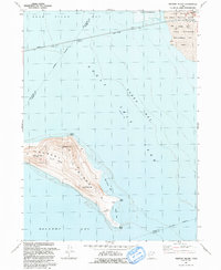
 1991 Buffalo Point1991 Print · USGSAntelope Island and the surrounding waters of the Great Salt Lake are captured here during the early nineties. Researchers can trace the shoreline and island landmarks including Buffalo Spring, the heights of Buffalo Point, and Egg Island.
 - 1991 Map of Huntsville, 1992 Print
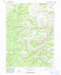
 1991 Huntsville1992 Print · USGSThe Ogden Valley was a hub of mountain recreation and agricultural water management in the early nineties. Genealogists and local historians can trace the foundations of Huntsville and Eden, and locate family sites near Mountain View Cemetery and Liberty.
 - 1991 Map of Mantua, 1992 Print
 1991 Mantua1992 Print · USGSNear the high ridges of the Wasatch Range in the early 1990s, this area shows a unique blend of mountain mining and valley settlement. Researchers can trace old mountain workings like the Silver Eagle Mine or locate historical social sites including the Bel Mia Girls Home and Camp Utaba.2 unique versions available
 - 1991 Map of James Peak, 1992 Print
 1991 James Peak1992 Print · USGSThe high Wasatch ridgelines of the Cache and Weber county line are captured here in the early nineties. Researchers can trace historic land use through the Honey Bee Mine, Fourmile Ranch, and family landmarks like Alex Beard Hill and Jenson Hollow.
 - 1992 Map of Snow Basin
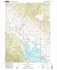
 1992 Snow Basin1992 Print · USGSThe high alpine bowls and Weber Valley settlements are captured here in the early nineties as recreation and local infrastructure expanded. Researchers can trace family sites at Mountain Green, locate the Mtn Green Cemetery, or explore the development of Snow Basin.
 - 1992 Map of North Ogden
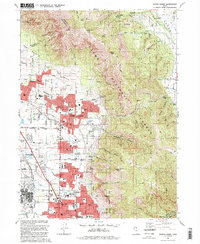 1992 North Ogden1992 Print · USGSNorth Ogden and the northern reaches of the Weber County valley are shown in the early 1990s as suburban expansion meets the Wasatch peaks. Researchers can trace local development through the Ben Lomond Cemetery, Lincoln Sch, and federal sites like the Defense Depot Ogden.2 unique versions available
 - 1992 Map of Ogden
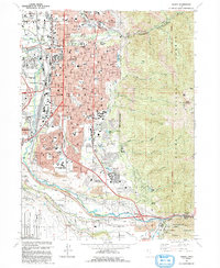 1992 Ogden1992 Print · USGSThe Ogden area in the early nineties shows a thriving urban corridor bordered by the peaks of the Wasatch Range. Genealogists and historians can trace the development of Weber State University, the sprawling Defense Depot Ogden, and many local schools including St Josephs High Sch.2 unique versions available
 - 1992 Map of Plain City
 1992 Plain City1992 Print · USGSWeber County at the start of the nineties shows a landscape of engineered waterways and growing communities between the Wasatch foothills and the Great Salt Lake. Researchers can locate family sites and local landmarks like Plain City, Wahlquist Jr High Sch, and the Defense Depot Ogden.
 - 1998 Map of Durst Mountain, 2000 Print
 1998 Durst Mountain2000 Print · USGSThe high ridges of the Wasatch Range meet the essential water systems of the Ogden River valley in the late nineties. Genealogists and historians can locate the Monastery near Huntsville or trace water rights along the South Bench Canal and Northwest Ditch.
Showing maps 1-25 of 41
Top cities of Weber County
- Ogden historical maps
- Roy historical maps
- North Ogden historical maps
- South Ogden historical maps
- Pleasant View historical maps
- Riverdale historical maps
See more
Frequently asked questions
- What are the different types of historical maps available for Weber County?
- What is the oldest map of Weber County?
- Where can I purchase historical maps of Weber County for my home or office?
- Where can I download high-res historical maps of Weber County?
- Are there historical topographic maps available for Weber County?
- Is there historical aerial imagery available for Weber County?
- Where are historical maps of Weber County sourced from?