2020s Maps of Weber County, Utah
Explore 48 historic maps of Weber County from the 2020s. These maps offer a rare glimpse into what life looked like during the 2020s — showing old roads, neighborhoods, homes, and landmarks that have changed or disappeared over time.
Whether you're researching your family's past, planning a metal detecting trip, or studying how Weber County's landscape evolved across the 2020s, these high-resolution maps are a powerful tool for exploring the history of this region.
- Focus on a specific era: All maps on this page are from the 2020s, giving you a focused view of this time period.
- See what’s changed: Compare century-old streets, trails, and buildings to today's modern landscape using overlays and satellite layers.
- Research with precision: Use these maps for genealogy, historical research, land use analysis, or educational projects.
- View, download, or print: Maps are fully viewable online in high resolution, and can be downloaded or printed for your own records.
Start exploring Weber County's history through authentic maps from the 2020s. This is your window into the past.
Weber County, UT maps
(48)- 2020 Map of Ogden, 2020 Print
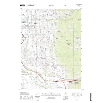 2020 Ogden2020 Print · USGSThe Ogden valley and Wasatch foothills appear here in the early twenty-first century as a sprawling urban and military corridor. Genealogists can locate several major sites including Ogden City Cem and Uintah Town Cem, while hikers can trace the Bonneville Shoreline trail.
 - 2020 Map of North Ogden, 2020 Print
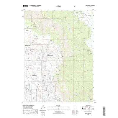 2020 North Ogden2020 Print · USGSWeber County communities meet the steep Wasatch Range in the modern era as suburban growth pushes toward the forest boundary. Genealogists and hikers can locate Ben Lomond Cem, the Dry Canyon Overlook, and the peaks of Lewis Peak.
 - 2020 Map of Fremont Island SW, 2020 Print
 2020 Fremont Island SW2020 Print · USGSThe Great Salt Lake shore and the settlement of Hooper are captured here in a period of modern mapping. Researchers can trace the exact water-bound intersections of Box Elder, Weber, and Tooele county lines.
 - 2020 Map of Lost Creek Dam, 2020 Print
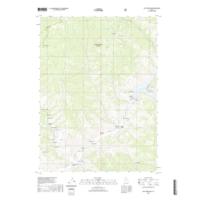 2020 Lost Creek Dam2020 Print · USGSWeber and Morgan counties are dominated by high-altitude ridges and deep canyons in this modern look at the Cache National Forest. Researchers can trace the topography around Lost Creek Reservoir and find named landmarks like Lost Valley and Guilder Peak.
 - 2020 Map of Causey Dam, 2020 Print
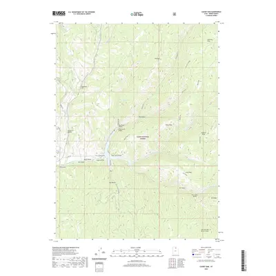 2020 Causey Dam2020 Print · USGSWeber County's high-country terrain is centered on the reservoir at the start of the 2020s. Researchers can trace the complex mountain topography of the Cache National Forest and local landmarks like Causey Dam and Skull Crack Canyon.
 - 2020 Map of Roy, 2020 Print
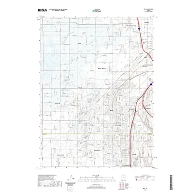 2020 Roy2020 Print · USGSOgden and its southern suburbs are depicted in this 2020 survey as a mature network of transportation and residential centers. Genealogists and local historians can trace the foundations of the community through sites like the Roy City Cem and the airfield at Ogden-Hinckley Airport.
 - 2020 Map of Fremont Island, 2020 Print
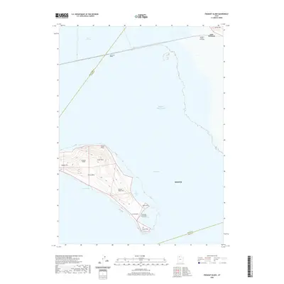 2020 Fremont Island2020 Print · USGSThe eastern shores of the Great Salt Lake are shown in the 2020s, highlighting the isolation of Fremont Island and the industrial Southern Pacific Causeway. Trace the landscape from Beacon Hill across the island's Circle Valley to the eastern edge of Hooper.
 - 2020 Map of Plain City SW, 2020 Print
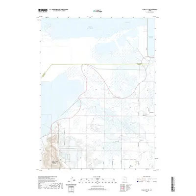 2020 Plain City SW2020 Print · USGSThe eastern shores of the Great Salt Lake are documented here in the 2020s, showing a landscape shaped by both early exploration and modern water management. Genealogists and historians can locate the John C Fremont Monument or trace family roots at Warren Cem and West Warren Cem.
 - 2020 Map of Horse Ridge, 2020 Print
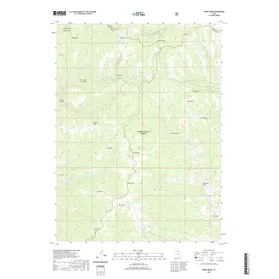 2020 Horse Ridge2020 Print · USGSThe high country of the northern Wasatch Range is mapped here in recent years, showing the intersection of three counties within the Cache National Forest. Researchers can trace the rugged drainages of Sawmill Canyon, locate the remote Wonder Spring, and explore the naming of landmarks like Knighton Ridge.
 - 2020 Map of Dairy Ridge, 2020 Print
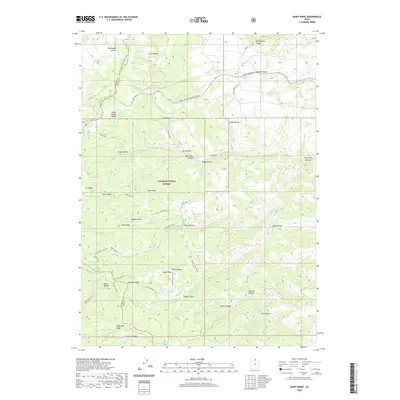 2020 Dairy Ridge2020 Print · USGSHigh-altitude ridges and alpine springs define this northern Utah landscape within the Cache National Forest during the early twenty-first century. Researchers can trace the drainage of Woodruff Cr and locate high-country landmarks like Eccles Peak and the Dairy Ridge Reservoir.
 - 2020 Map of Promontory Point, 2020 Print
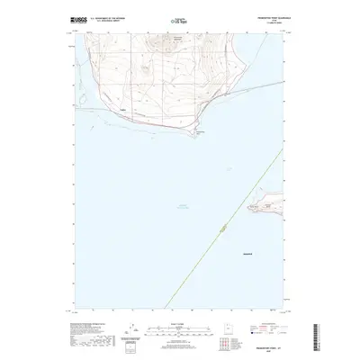 2020 Promontory Point2020 Print · USGSThe Great Salt Lake shoreline and the southern tip of the Promontory peninsula are documented here in recent years. Researchers can trace the coastal access via S East Promontory Rd and locate landmarks like Saline and Fremont Island.
 - 2020 Map of Huntsville, 2020 Print
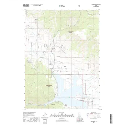 2020 Huntsville2020 Print · USGSOgden Valley's mountain basin is shown here in the 2020s, dominated by the waters of Pineview Reservoir and the surrounding national forest. Genealogists and local historians can trace burial sites at Liberty Cem and Meadow View Cem or explore the canyon-mouth settlements of Eden and Huntsville.
 - 2020 Map of James Peak, 2020 Print
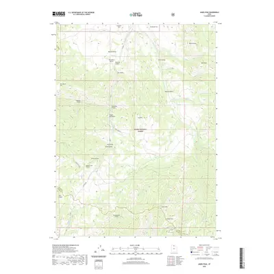 2020 James Peak2020 Print · USGSHigh in the Wasatch Range during the early twenty-first century, this area shows a landscape of named hollows and major peaks on the Cache and Weber County line. Genealogists and hikers can trace family-named landmarks like Alex Beard Hill and Jenson Hollow or the path of the Cache Valley Canal.
 - 2020 Map of Plain City, 2020 Print
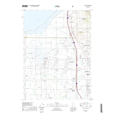 2020 Plain City2020 Print · USGSWeber County’s alluvial plains and the rising Wasatch Range meet in this contemporary mapping of the communities north of Ogden. Genealogists and local historians can trace family roots through the Plain City Cem and the West Weber-Taylor Cem while following the path of the Little Mountain Rail Trail.
 - 2020 Map of Monte Cristo Peak, 2020 Print
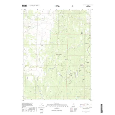 2020 Monte Cristo Peak2020 Print · USGSThe high backcountry of the Monte Cristo Range is captured here in the early twenty-first century as a hub for watershed management and seasonal recreation. Researchers can trace historic access routes and water sources like Dry Bread Pond, Ant Valley, and Bluebell Spring.
 - 2020 Map of Willard Spur, 2020 Print
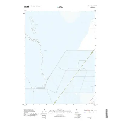 2020 Willard Spur2020 Print · USGSThe northern Utah wetlands and the great inland sea meet in the years preceding the modern decade. Researchers can trace the shifting shoreline of the Great Salt Lake and the managed water systems of Willard Spur and Bear River Bay.
 - 2020 Map of Mantua, 2020 Print
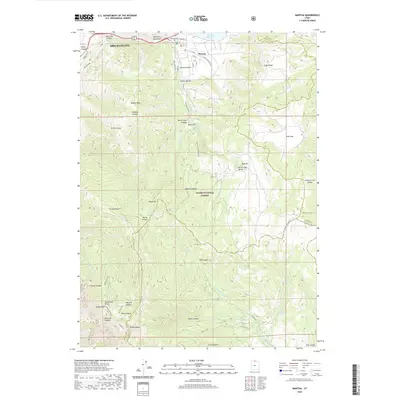 2020 Mantua2020 Print · USGSThe mountain valley of Mantua and the high peaks of the Wasatch Range are captured here in the modern era. Genealogists and local historians can trace the town's footprint from Mantua Cem to the shores of Mantua Reservoir and high points like Willard Peak.
 - 2020 Map of Sharp Mountain, 2020 Print
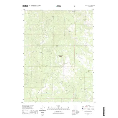 2020 Sharp Mountain2020 Print · USGSThe high ridges of the Cache and Weber county line are captured here in the early twenty-first century as new mountain roads meet old forest lands. Researchers can trace the development of Sunridge Highlands via N Kit Carson Dr E alongside landmarks like Sharp Mtn and La Plata Canyon.
 - 2020 Map of Bybee Knoll, 2020 Print
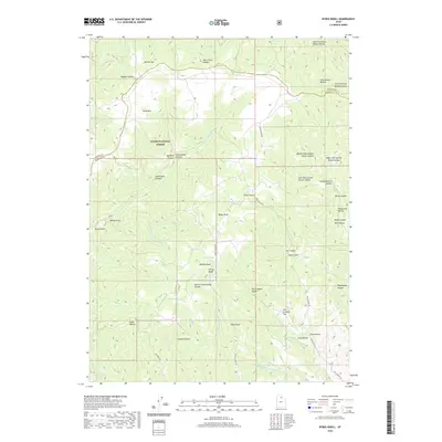 2020 Bybee Knoll2020 Print · USGSWeber and Morgan counties meet in this mountainous region within the Cache National Forest during the early twenty-first century. Researchers can trace land use and family history through landmarks like Bybee Knoll, Tom Condies Flat, and Raymonds Hollow.
 - 2020 Map of Browns Hole, 2020 Print
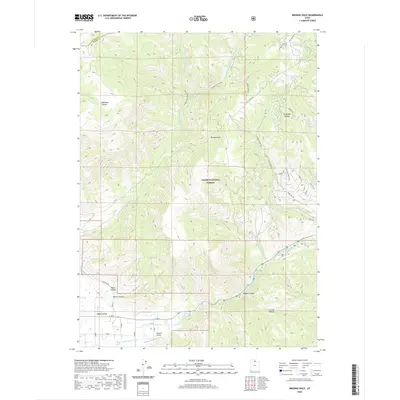 2020 Browns Hole2020 Print · USGSThe Wasatch backcountry and the eastern edges of Ogden Valley are documented here during the early twenty-first century. Researchers can trace the drainages of Magpie Canyon or locate the remote Flying R Airport near the forest boundary.
 - 2020 Map of Snow Basin, 2020 Print
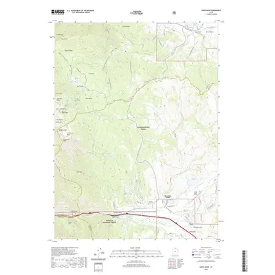 2020 Snow Basin2020 Print · USGSThe Wasatch Range foothills and Morgan Valley are captured here during a period of modern mountain development. Researchers can trace local landmarks like Mountain Green Cem, the Morgan County Airport, and the slopes of Snow Basin.
 - 2020 Map of Durst Mountain, 2020 Print
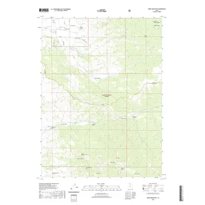 2020 Durst Mountain2020 Print · USGSThe mountain ridges of Weber and Morgan counties are captured in detail here as they appeared in 2020. Researchers can trace remote family landmarks and geographic features like the Abbey of the Holy Trinity Cem, Durst Mtn, and the deep Cottonwood Canyon.
 - 2020 Map of Ogden Bay, 2020 Print
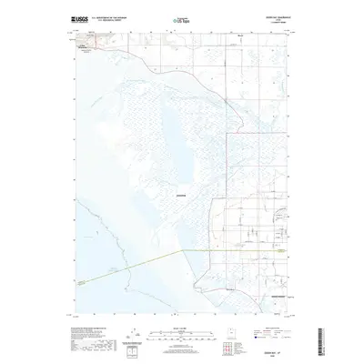 2020 Ogden Bay2020 Print · USGSThe eastern shore of the Great Salt Lake is captured here during its modern development, where agricultural grids meet the delta marshes. Researchers can find long-established sites like the Hooper Cem or trace the path of the Hooper Slough Trail near Hooper.
 - 2020 Map of Buffalo Point, 2020 Print
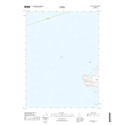 2020 Buffalo Point2020 Print · USGSAntelope Island stands within the Great Salt Lake in the years preceding the new decade, showing the topography of its northwestern shores. You can trace the coastline from Bridger Bay to White Rock Bay or locate inland features like Buffalo Spring.
 - 2023 Map of Willard Spur, 2023 Print
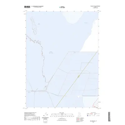 2023 Willard Spur2023 Print · USGSThe northern reaches of the Great Salt Lake are documented in this recent survey of the Utah shoreline. Researchers can trace the exact modern extent of Bear River Bay and the shallow waters of the Willard Spur.
Showing maps 1-25 of 48
Top cities of Weber County
- Ogden historical maps
- Roy historical maps
- North Ogden historical maps
- South Ogden historical maps
- Pleasant View historical maps
- Riverdale historical maps
See more
Frequently asked questions
- What are the different types of historical maps available for Weber County?
- What is the oldest map of Weber County?
- Where can I purchase historical maps of Weber County for my home or office?
- Where can I download high-res historical maps of Weber County?
- Are there historical topographic maps available for Weber County?
- Is there historical aerial imagery available for Weber County?
- Where are historical maps of Weber County sourced from?