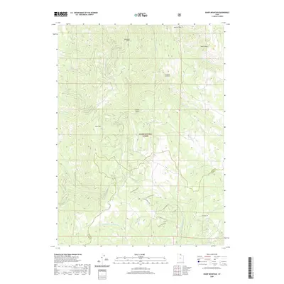
2020 Map of Sharp Mountain
USGS Topo · Published 2020About this map
Sharp Mtn stands as a central landmark within the Cache National Forest, marking a landscape defined by deep drainages and high ridges along the border of Cache and Weber counties. The map details a complex hydrographic network where the headwaters of several major river systems begin, including the E Fork Little Bear River to the north and the Left Fork Middle Fork Ogden River to the south. Historically significant corridors like Sawmill Canyon and La Plata Canyon suggest early industrial or resource extraction uses in these uplands.
Find a feature on this map
29 named features on this map. Tap any name to fly to it.
Don’t see what you’re looking for? This feature index may not catch every label — zoom into the map to look around manually.
Map Details
Editions of this 2020 Sharp Mountain Map
This is the sole edition of this map. No revisions or reprints were ever made.
Other maps of this area

1914 · Logan
USGS Topo · 1:125,000

1916 · Logan
USGS Topo · 1:125,000

1954 · Ogden
USGS Topo · 1:250,000

1955 · Paradise
USGS Topo · 1:24,000

1955 · Huntsville
USGS Topo · 1:24,000

1955 · James Peak
USGS Topo · 1:24,000

1958 · Ogden
USGS Topo · 1:250,000

1960 · Ogden
USGS Topo · 1:250,000

1964 · Monte Cristo PK
USGS Topo · 1:24,000
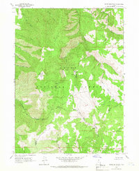
1964 · Sharp Mountain
USGS Topo · 1:24,000