2020s Maps of Hooper, Utah
Explore 12 historic maps of Hooper from the 2020s. These maps offer a rare glimpse into what life looked like during the 2020s — showing old roads, neighborhoods, homes, and landmarks that have changed or disappeared over time.
Whether you're researching your family's past, planning a metal detecting trip, or studying how Hooper's landscape evolved across the 2020s, these high-resolution maps are a powerful tool for exploring the history of this region.
- Focus on a specific era: All maps on this page are from the 2020s, giving you a focused view of this time period.
- See what’s changed: Compare century-old streets, trails, and buildings to today's modern landscape using overlays and satellite layers.
- Research with precision: Use these maps for genealogy, historical research, land use analysis, or educational projects.
- View, download, or print: Maps are fully viewable online in high resolution, and can be downloaded or printed for your own records.
Start exploring Hooper's history through authentic maps from the 2020s. This is your window into the past.
Hooper, UT maps
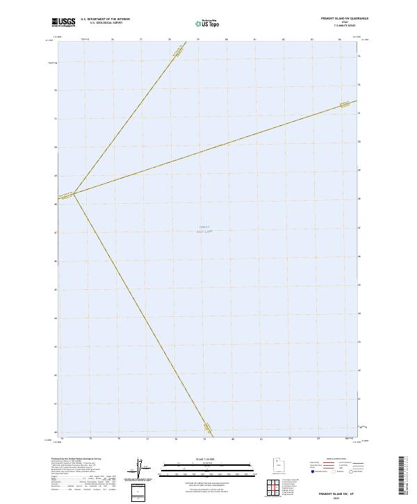
(12)- 2020 Map of Fremont Island SW, 2020 Print
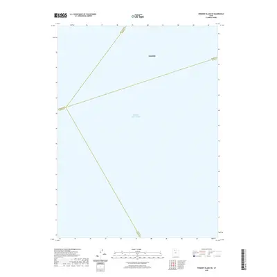 2020 Fremont Island SW2020 Print · USGSCovers Hooper, including Davis County, Weber County, and other nearby areas
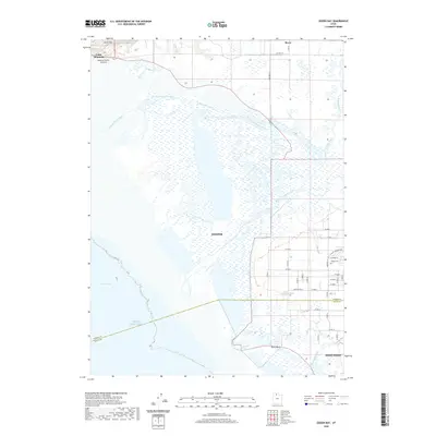
 - 2020 Map of Roy, 2020 Print
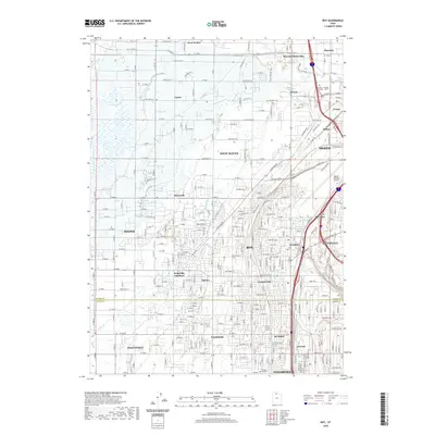 2020 Roy2020 Print · USGSCovers Hooper, including Ogden, Roy, and other nearby areas
 - 2020 Map of Fremont Island, 2020 Print
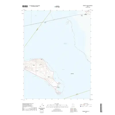 2020 Fremont Island2020 Print · USGSCovers Hooper, including Davis County, Weber County, and other nearby areas
 - 2020 Map of Promontory Point, 2020 Print
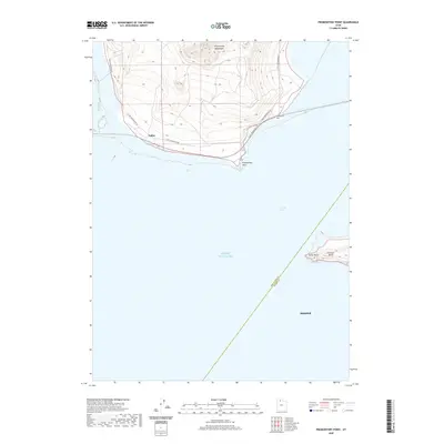 2020 Promontory Point2020 Print · USGSCovers Hooper, including Weber County, Box Elder County, and other nearby areas
 - 2020 Map of Ogden Bay, 2020 Print
 2020 Ogden Bay2020 Print · USGSCovers Hooper, including West Point, Davis County, and other nearby areas
 - 2020 Map of Buffalo Point, 2020 Print
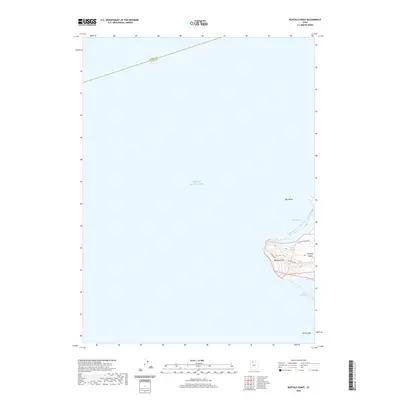 2020 Buffalo Point2020 Print · USGSCovers Hooper, including Davis County, Weber County, and other nearby areas
 - 2023 Map of Buffalo Point, 2023 Print
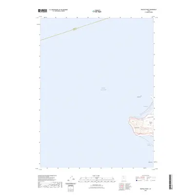 2023 Buffalo Point2023 Print · USGSAntelope Island sits amidst the waters of the Great Salt Lake in this recent survey. Hikers and cartography enthusiasts can trace the Buffalo Point Trl up to Buffalo Point or locate the remote Egg Island and Buffalo Spring.
 - 2023 Map of Fremont Island SW, 2023 Print
 2023 Fremont Island SW2023 Print · USGSThe open waters of the Great Salt Lake take center stage in this 2023 survey. You can trace the precise convergence of four county lines, including the boundary between Box Elder and Tooele and Weber and Davis counties.
 - 2023 Map of Promontory Point, 2023 Print
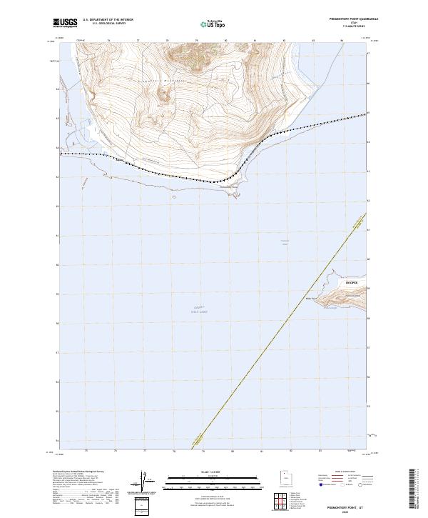 2023 Promontory Point2023 Print · USGSThe northern reaches of the Great Salt Lake are captured here in the early twenty-first century, showing the rugged interface of land and water. Researchers can trace the shoreline of Fremont Island and locate the remote settlement of Saline near Promontory Point.
 - 2023 Map of Fremont Island, 2023 Print
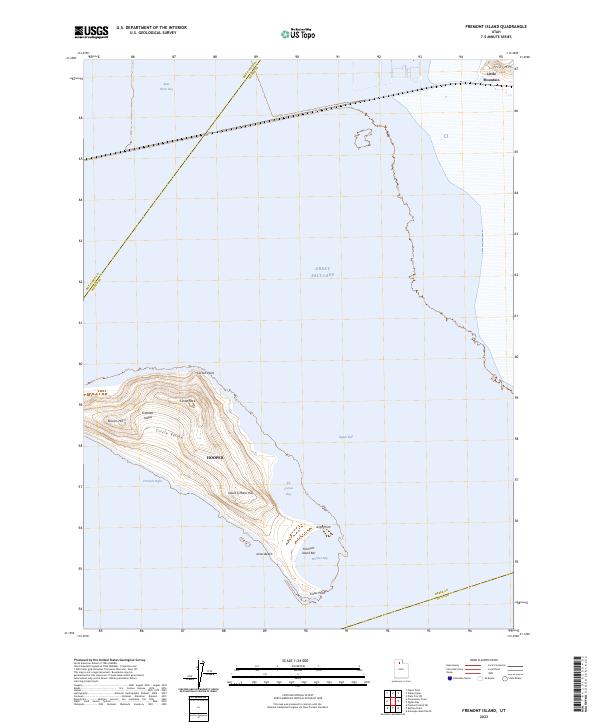 2023 Fremont Island2023 Print · USGSFremont Island and the surrounding waters of the Great Salt Lake are shown here in the early twenty-first century. Researchers can trace landforms like Circle Valley, Beacon Hill, and the shoreline of Kit Carson Bay.
 - 2023 Map of Ogden Bay, 2023 Print
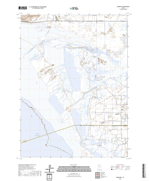 2023 Ogden Bay2023 Print · USGSThe eastern shore of the Great Salt Lake comes into focus in this contemporary survey of the Weber River delta. Researchers can trace the boundaries of Hooper, locate the Hooper Cem, and explore the marshes near Hooper Hot Springs.
 - 2023 Map of Roy, 2023 Print
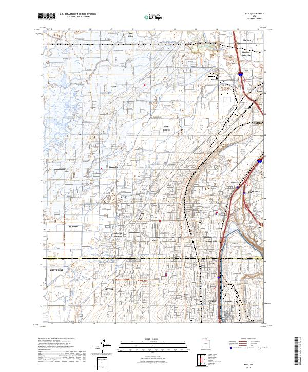 2023 Roy2023 Print · USGSThe northern Wasatch Front is shown in detail during its recent period of suburban expansion and military importance. Researchers can trace family sites near Roy City Cemetery or follow the path of the Union Pacific RR through ROY and SUNSET.
End of results
Showing maps 1-12 of 12
Top cities near Hooper
- Roy historical maps
- Syracuse historical maps
- Clinton historical maps
- West Point historical maps
- West Haven historical maps
- Marriott-Slaterville historical maps
Top neighborhoods of Hooper
Frequently asked questions
- What are the different types of historical maps available for Hooper?
- What is the oldest map of Hooper?
- Where can I purchase historical maps of Hooper for my home or office?
- Where can I download high-res historical maps of Hooper?
- Are there historical topographic maps available for Hooper?
- Is there historical aerial imagery available for Hooper?
- Where are historical maps of Hooper sourced from?