2000s (21st Century) Maps of Barnet, Vermont
Explore 20 historic maps of Barnet from the 2000s (21st Century). These maps offer a rare glimpse into what life looked like during the 2000s — showing old roads, neighborhoods, homes, and landmarks that have changed or disappeared over time.
Whether you're researching your family's past, planning a metal detecting trip, or studying how Barnet's landscape evolved across the 2000s, these high-resolution maps are a powerful tool for exploring the history of this region.
- Focus on a specific era: All maps on this page are from the 2000s, giving you a focused view of this time period.
- See what’s changed: Compare century-old streets, trails, and buildings to today's modern landscape using overlays and satellite layers.
- Research with precision: Use these maps for genealogy, historical research, land use analysis, or educational projects.
- View, download, or print: Maps are fully viewable online in high resolution, and can be downloaded or printed for your own records.
Start exploring Barnet's history through authentic maps from the 2000s. This is your window into the past.
Barnet, VT maps
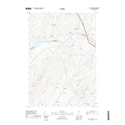
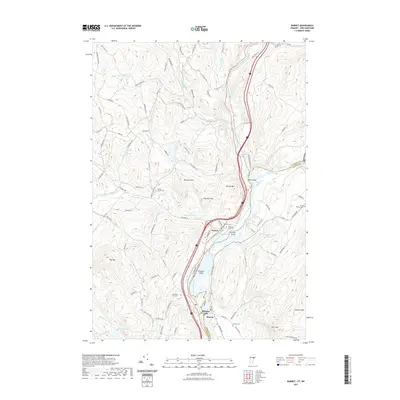
(20)- 2012 Map of Lower Waterford, 2012 Print
 2012 Lower Waterford2012 Print · USGSCovers Barnet, including Littleton, Lisbon, and other nearby areas
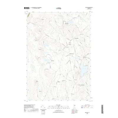
 - 2012 Map of Peacham, 2012 Print
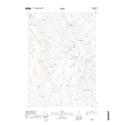
 2012 Peacham2012 Print · USGSCovers Barnet, including Danville, Cabot, and other nearby areas
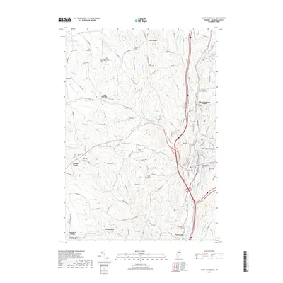
 - 2012 Map of Saint Johnsbury, 2012 Print
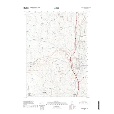
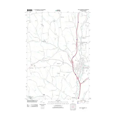 2012 Saint Johnsbury2012 Print · USGSCovers Barnet, including Saint Johnsbury, Danville, and other nearby areas
 - 2012 Map of Barnet, 2012 Print
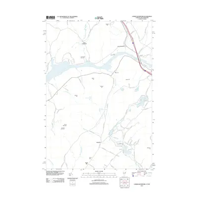
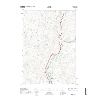
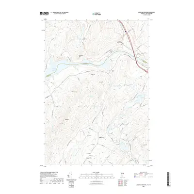
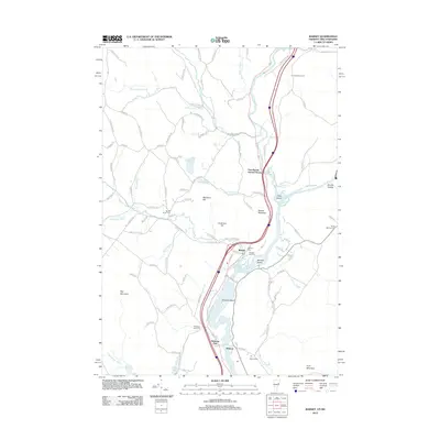 2012 Barnet2012 Print · USGSCovers Barnet, including Danville, Monroe, and other nearby areas
 - 2015 Map of Lower Waterford, 2015 Print
 2015 Lower Waterford2015 Print · USGSCovers Barnet, including Littleton, Lisbon, and other nearby areas
 - 2015 Map of Barnet, 2015 Print
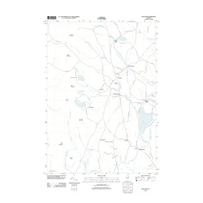
 2015 Barnet2015 Print · USGSCovers Barnet, including Danville, Monroe, and other nearby areas
 - 2015 Map of Peacham, 2015 Print
 2015 Peacham2015 Print · USGSCovers Barnet, including Danville, Cabot, and other nearby areas
 - 2015 Map of Saint Johnsbury, 2015 Print
 2015 Saint Johnsbury2015 Print · USGSCovers Barnet, including Saint Johnsbury, Danville, and other nearby areas
 - 2018 Map of Barnet, 2018 Print
 2018 Barnet2018 Print · USGSCovers Barnet, including Danville, Monroe, and other nearby areas
 - 2018 Map of Lower Waterford, 2018 Print
 2018 Lower Waterford2018 Print · USGSCovers Barnet, including Littleton, Lisbon, and other nearby areas
 - 2018 Map of Peacham, 2018 Print
 2018 Peacham2018 Print · USGSCovers Barnet, including Danville, Cabot, and other nearby areas
 - 2018 Map of Saint Johnsbury, 2018 Print
 2018 Saint Johnsbury2018 Print · USGSCovers Barnet, including Saint Johnsbury, Danville, and other nearby areas
 - 2021 Map of Lower Waterford, 2021 Print
 2021 Lower Waterford2021 Print · USGSCovers Barnet, including Littleton, Lisbon, and other nearby areas
 - 2021 Map of Peacham, 2021 Print
 2021 Peacham2021 Print · USGSCovers Barnet, including Danville, Cabot, and other nearby areas
 - 2021 Map of Saint Johnsbury, 2021 Print
 2021 Saint Johnsbury2021 Print · USGSCovers Barnet, including Saint Johnsbury, Danville, and other nearby areas
 - 2021 Map of Barnet, 2021 Print
 2021 Barnet2021 Print · USGSCovers Barnet, including Danville, Monroe, and other nearby areas
 - 2024 Map of Barnet, 2024 Print
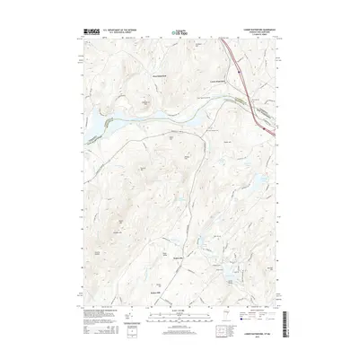
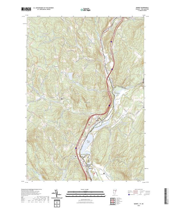 2024 Barnet2024 Print · USGSThe Upper Connecticut River Valley comes into focus in this contemporary survey, showing the riverside settlements at the Vermont and New Hampshire border. Genealogists can locate family landmarks at Barnet Center Cem or trace the reach of the Passumpsic River and Stevens River.
 - 2024 Map of Saint Johnsbury, 2024 Print
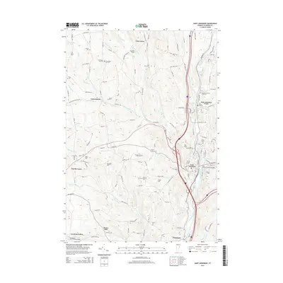
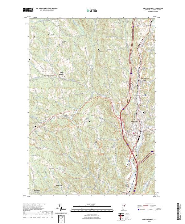 2024 Saint Johnsbury2024 Print · USGSCaledonia County comes into sharp focus during the 2020s, showing the enduring settlement patterns of this Vermont river valley. Researchers can trace family history through numerous burial grounds like Massey Cem and locate historic hubs such as Morses Mills or the Caledonia County Courthouse.
 - 2024 Map of Lower Waterford, 2024 Print
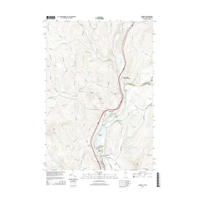
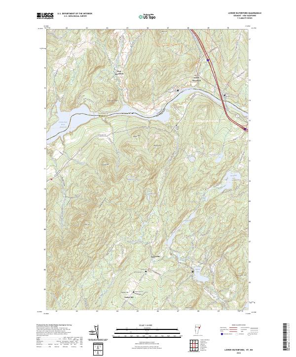 2024 Lower Waterford2024 Print · USGSThe Vermont and New Hampshire borderlands come alive in this survey of the Connecticut River valley and the surrounding high ridges. Researchers can trace local lineage through Lower Waterford Cemetery and Center Cemetery, or explore the rural hubs of Tinkerville and West Waterford.
 - 2024 Map of Peacham, 2024 Print
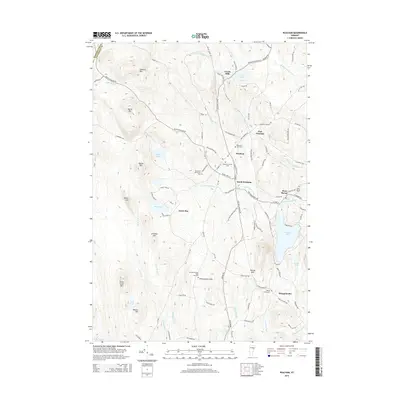
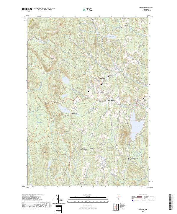 2024 Peacham2024 Print · USGSCaledonia County’s upland villages and mountain cemeteries are captured here in the contemporary era. Researchers can trace ancestral sites at Peacham Village Cemetery or Worcester Cem and explore the historic route of Bayley-Hazen Rd.
End of results
Showing maps 1-20 of 20
Top cities near Barnet
- Saint Johnsbury historical maps
- Littleton historical maps
- Haverhill historical maps
- Hardwick historical maps
- Danville historical maps
- Newbury historical maps
See more
Top neighborhoods of Barnet
- Mosquitoville historical maps
- West Barnet historical maps
- East Barnet Inwood Station historical maps
- McIndoe Falls historical maps
- Passumpsic historical maps
Frequently asked questions
- What are the different types of historical maps available for Barnet?
- What is the oldest map of Barnet?
- Where can I purchase historical maps of Barnet for my home or office?
- Where can I download high-res historical maps of Barnet?
- Are there historical topographic maps available for Barnet?
- Is there historical aerial imagery available for Barnet?
- Where are historical maps of Barnet sourced from?