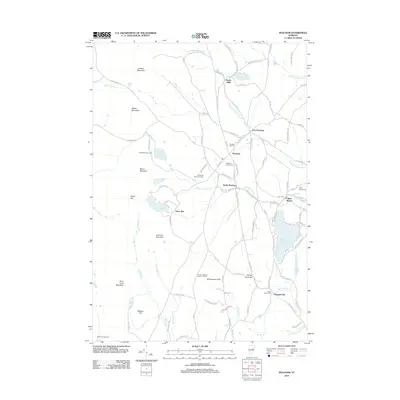
2012 Map of Peacham
USGS Topo · Published 2012About this map
Peacham and its neighboring villages of South Peacham, East Peacham, and Ewells Mills define the settlement pattern of this rural Vermont landscape. The topography is dominated by a series of prominent peaks, including Lookout Mountain, Macks Mountain, and Devils Hill, while the drainage network of Peacham Hollow Brook and S Peacham Brook carves through the terrain. Cultural history is anchored by several distinct burial grounds, such as Peacham Corner Cem and the Walter Harvey Cem near Harvey Lake.
Find a feature on this map
103 named features on this map. Tap any name to fly to it.
Don’t see what you’re looking for? This feature index may not catch every label — zoom into the map to look around manually.
Map Details
Editions of this 2012 Peacham Map
This is the sole edition of this map. No revisions or reprints were ever made.
Other maps of this area

1931 · Woodsville
USGS Topo · 1:48,000

1935 · Woodsville
USGS Topo · 1:62,500

1938 · St. Johnsbury
USGS Topo · 1:48,000

1939 · Plainfield
USGS Topo · 1:48,000

1940 · Plainfield
USGS Topo · 1:62,500

1941 · Woodsville
USGS Topo · 1:62,500

1943 · Plainfield
USGS Topo · 1:62,500

1943 · St. Johnsbury
USGS Topo · 1:62,500

1947 · Corinth
USGS Topo · 1:62,500

1948 · East Barre
USGS Topo · 1:62,500