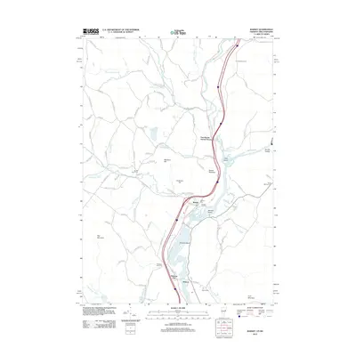
2012 Map of Barnet
USGS Topo · Published 2012About this map
The Connecticut River serves as the dividing line between Vermont and New Hampshire in this 2012 survey, defining the industrial and agricultural development of the region. The settlement of Barnet sits at the confluence where the Stevens River meets the larger waterway, while to the south, the village of McIndoe Falls marks a significant historical point of activity near the river's descent. The landscape is dotted with ancestral landmarks, including the Barnet Center Cem and McIndoes Falls Cem, reflecting the deep roots of local families.
Find a feature on this map
98 named features on this map. Tap any name to fly to it.
Don’t see what you’re looking for? This feature index may not catch every label — zoom into the map to look around manually.
Map Details
Editions of this 2012 Barnet Map
This is the sole edition of this map. No revisions or reprints were ever made.
Other maps of this area

1929 · Moosilauke
USGS Topo · 1:62,500

1931 · Littleton
USGS Topo · 1:62,500

1931 · Woodsville
USGS Topo · 1:48,000

1932 · Littleton
USGS Topo · 1:48,000

1932 · Moosilauke
USGS Topo · 1:62,500

1935 · Woodsville
USGS Topo · 1:62,500

1935 · Littleton
USGS Topo · 1:62,500

1938 · St. Johnsbury
USGS Topo · 1:48,000

1941 · Woodsville
USGS Topo · 1:62,500

1943 · St. Johnsbury
USGS Topo · 1:62,500