2020s Maps of Newark, Vermont
Explore 8 historic maps of Newark from the 2020s. These maps offer a rare glimpse into what life looked like during the 2020s — showing old roads, neighborhoods, homes, and landmarks that have changed or disappeared over time.
Whether you're researching your family's past, planning a metal detecting trip, or studying how Newark's landscape evolved across the 2020s, these high-resolution maps are a powerful tool for exploring the history of this region.
- Focus on a specific era: All maps on this page are from the 2020s, giving you a focused view of this time period.
- See what’s changed: Compare century-old streets, trails, and buildings to today's modern landscape using overlays and satellite layers.
- Research with precision: Use these maps for genealogy, historical research, land use analysis, or educational projects.
- View, download, or print: Maps are fully viewable online in high resolution, and can be downloaded or printed for your own records.
Start exploring Newark's history through authentic maps from the 2020s. This is your window into the past.
Newark, VT maps
(8)- 2021 Map of West Burke, 2021 Print
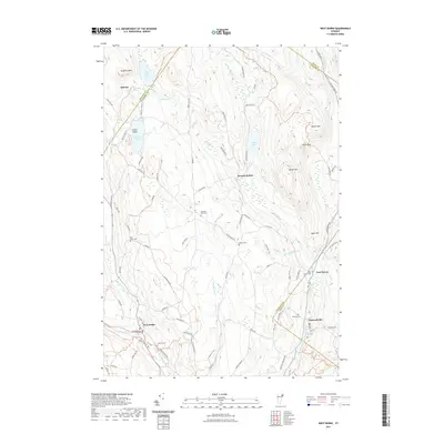 2021 West Burke2021 Print · USGSCovers Newark, including Sutton, Brighton, and other nearby areas
 - 2021 Map of Island Pond, 2021 Print
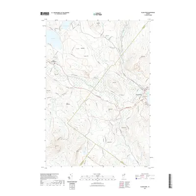 2021 Island Pond2021 Print · USGSCovers Newark, including Brighton, Island Pond, and other nearby areas
 - 2021 Map of Seneca Mountain, 2021 Print
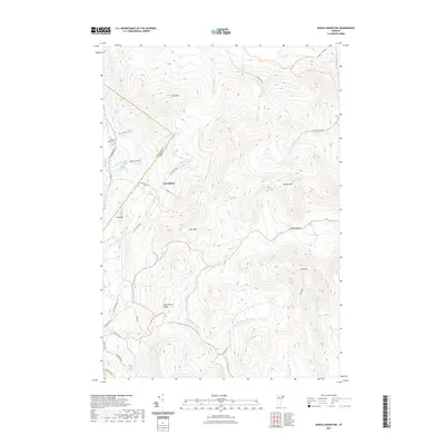 2021 Seneca Mountain2021 Print · USGSCovers Newark, including Brighton, Burke, and other nearby areas
 - 2021 Map of Sutton, 2021 Print
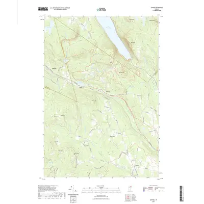 2021 Sutton2021 Print · USGSCovers Newark, including Barton, Sutton, and other nearby areas
 - 2024 Map of Sutton, 2024 Print
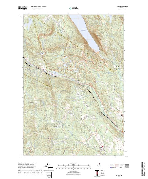 2024 Sutton2024 Print · USGSThe mountain gaps of northern Vermont are captured here in the 2020s, showcasing the high terrain around the village of Sutton. Local historians can trace family burial sites at Sutton Village Cem and North Ridge Cem or explore the steep paths up Mt Pisgah and Mt Hor.
 - 2024 Map of Island Pond, 2024 Print
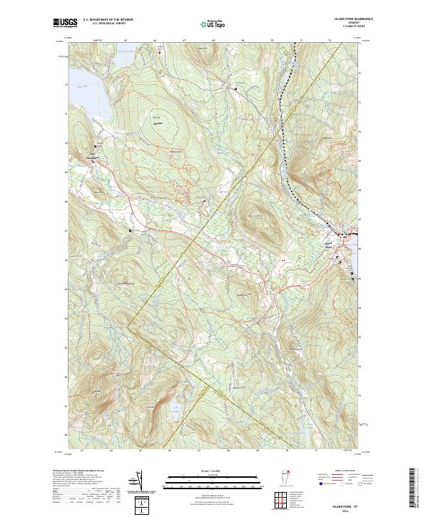 2024 Island Pond2024 Print · USGSIsland Pond at the modern day remains a critical intersection of rail history and upland wilderness. Genealogists can trace family lines through the Old Protestant Cem and Lakeside Cem, while researchers can follow the path of the St Lawrence and Atlantic RR past Bluff Mtn.
 - 2024 Map of West Burke, 2024 Print
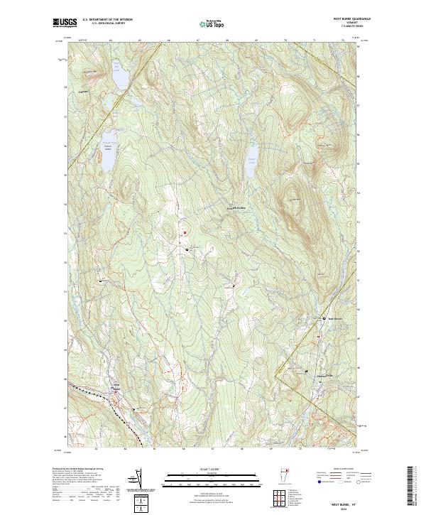 2024 West Burke2024 Print · USGSUpper Caledonia and Essex counties are captured here in the early twenty-first century, showing the rural communities along the Passumpsic forks. Genealogists can locate several historic burying grounds like Hillside Cem and Pleasant View Cem near West Burke.
 - 2024 Map of Seneca Mountain, 2024 Print
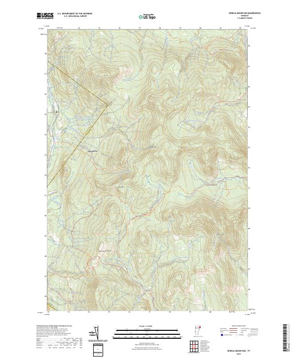 2024 Seneca Mountain2024 Print · USGSUpper Essex County and the Caledonia border appear as a network of high-elevation peaks and timberlands in the early twenty-first century. Genealogists and local historians can trace the Howard Family Cem or the isolated settlement of Lost Nation near the East Haven Range.
End of results
Showing maps 1-8 of 8
Top cities near Newark
- Saint Johnsbury historical maps
- Barton historical maps
- Danville historical maps
- Lunenburg historical maps
- Concord historical maps
- Lyndonville historical maps
See more
Top neighborhoods of Newark
Frequently asked questions
- What are the different types of historical maps available for Newark?
- What is the oldest map of Newark?
- Where can I purchase historical maps of Newark for my home or office?
- Where can I download high-res historical maps of Newark?
- Are there historical topographic maps available for Newark?
- Is there historical aerial imagery available for Newark?
- Where are historical maps of Newark sourced from?