2000s (21st Century) Maps of Norton, Vermont
Explore 30 historic maps of Norton from the 2000s (21st Century). These maps offer a rare glimpse into what life looked like during the 2000s — showing old roads, neighborhoods, homes, and landmarks that have changed or disappeared over time.
Whether you're researching your family's past, planning a metal detecting trip, or studying how Norton's landscape evolved across the 2000s, these high-resolution maps are a powerful tool for exploring the history of this region.
- Focus on a specific era: All maps on this page are from the 2000s, giving you a focused view of this time period.
- See what’s changed: Compare century-old streets, trails, and buildings to today's modern landscape using overlays and satellite layers.
- Research with precision: Use these maps for genealogy, historical research, land use analysis, or educational projects.
- View, download, or print: Maps are fully viewable online in high resolution, and can be downloaded or printed for your own records.
Start exploring Norton's history through authentic maps from the 2000s. This is your window into the past.
Norton, VT maps
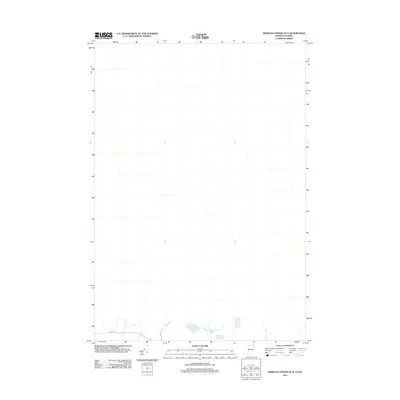
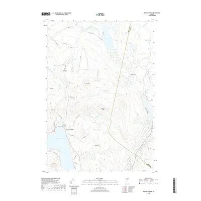
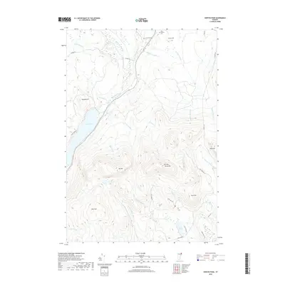
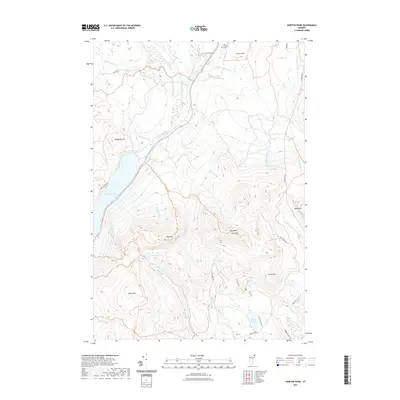
(30)- 2012 Map of Morgan Center, 2012 Print
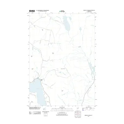 2012 Morgan Center2012 Print · USGSCovers Norton, including Brighton, Morgan, and other nearby areas
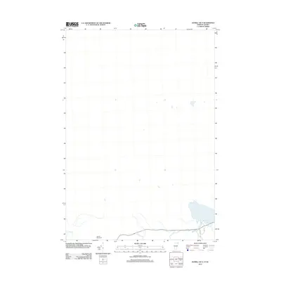
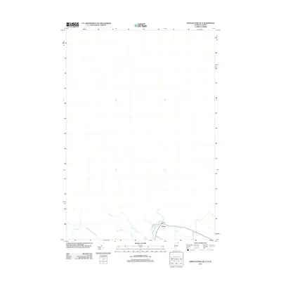
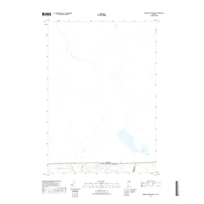
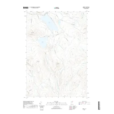
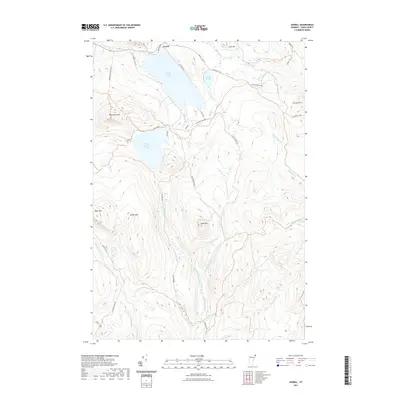
 - 2012 Map of Averill, 2012 Print
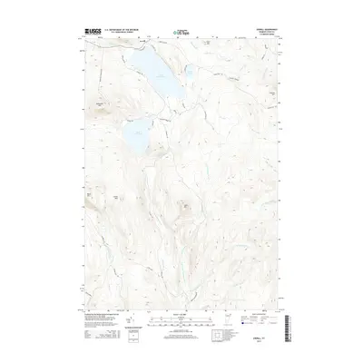
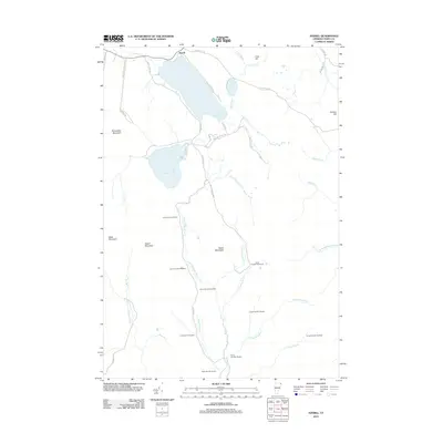 2012 Averill2012 Print · USGSCovers Norton, including Canaan, Bloomfield, and other nearby areas
 - 2012 Map of Norton Pond, 2012 Print
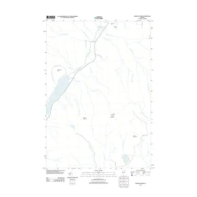 2012 Norton Pond2012 Print · USGSCovers Norton, including Brighton, Warren's Gore, and other nearby areas
 - 2012 Map of Averill OE N, 2012 Print
 2012 Averill OE N2012 Print · USGSCovers Norton, including Coaticook, Canaan, and other nearby areas
 - 2012 Map of Morgan Center OE N, 2012 Print
 2012 Morgan Center OE N2012 Print · USGSCovers Norton, including Coaticook, Holland, and other nearby areas
 - 2012 Map of Norton Pond OE N, 2012 Print
 2012 Norton Pond OE N2012 Print · USGSCovers Norton, including Coaticook, Stanhope, and other nearby areas
 - 2015 Map of Norton Pond, 2015 Print
 2015 Norton Pond2015 Print · USGSCovers Norton, including Brighton, Warren's Gore, and other nearby areas
 - 2015 Map of Morgan Center, 2015 Print
 2015 Morgan Center2015 Print · USGSCovers Norton, including Brighton, Morgan, and other nearby areas
 - 2015 Map of Averill, 2015 Print
 2015 Averill2015 Print · USGSCovers Norton, including Canaan, Bloomfield, and other nearby areas
 - 2015 Map of Norton Pond OE N, 2015 Print
 2015 Norton Pond OE N2015 Print · USGSCovers Norton, including Coaticook, Stanhope, and other nearby areas
 - 2015 Map of Morgan Center OE N, 2015 Print
 2015 Morgan Center OE N2015 Print · USGSCovers Norton, including Coaticook, Holland, and other nearby areas
 - 2015 Map of Averill OE N, 2015 Print
 2015 Averill OE N2015 Print · USGSCovers Norton, including Coaticook, Canaan, and other nearby areas
 - 2018 Map of Morgan Center, 2018 Print
 2018 Morgan Center2018 Print · USGSCovers Norton, including Brighton, Morgan, and other nearby areas
 - 2018 Map of Morgan Center OE N, 2018 Print
 2018 Morgan Center OE N2018 Print · USGSCovers Norton, including Coaticook, Holland, and other nearby areas
 - 2018 Map of Norton Pond OE N, 2018 Print
 2018 Norton Pond OE N2018 Print · USGSCovers Norton, including Coaticook, Stanhope, and other nearby areas
 - 2018 Map of Averill OE N, 2018 Print
 2018 Averill OE N2018 Print · USGSCovers Norton, including Coaticook, Canaan, and other nearby areas
 - 2018 Map of Norton Pond, 2018 Print
 2018 Norton Pond2018 Print · USGSCovers Norton, including Brighton, Warren's Gore, and other nearby areas
 - 2018 Map of Averill, 2018 Print
 2018 Averill2018 Print · USGSCovers Norton, including Canaan, Bloomfield, and other nearby areas
 - 2021 Map of Morgan Center OE N, 2021 Print
 2021 Morgan Center OE N2021 Print · USGSCovers Norton, including Coaticook, Holland, and other nearby areas
 - 2021 Map of Norton Pond OE N, 2021 Print
 2021 Norton Pond OE N2021 Print · USGSCovers Norton, including Coaticook, Stanhope, and other nearby areas
 - 2021 Map of Norton Pond, 2021 Print
 2021 Norton Pond2021 Print · USGSCovers Norton, including Brighton, Warren's Gore, and other nearby areas
 - 2021 Map of Averill, 2021 Print
 2021 Averill2021 Print · USGSCovers Norton, including Canaan, Bloomfield, and other nearby areas
 - 2021 Map of Averill OE N, 2021 Print
 2021 Averill OE N2021 Print · USGSCovers Norton, including Coaticook, Canaan, and other nearby areas
 - 2021 Map of Morgan Center, 2021 Print
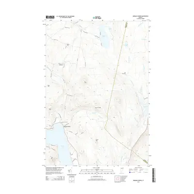
 2021 Morgan Center2021 Print · USGSCovers Norton, including Brighton, Morgan, and other nearby areas
 - 2024 Map of Morgan Center, 2024 Print
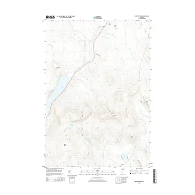
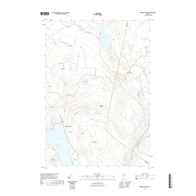
 2024 Morgan Center2024 Print · USGSUpper Orleans County is shown here in its modern rural character, centered on the settlement at Morgan Center and the shores of Seymour Lake. Researchers can trace old family lands near Morgan Center Cem or explore the drainage of Holland Brook and The Hurricane.
Showing maps 1-25 of 30
Top cities near Norton
- Brighton historical maps
- Island Pond historical maps
- Stratford historical maps
- Columbia historical maps
- Morgan historical maps
- Holland historical maps
See more
Top neighborhoods of Norton
Frequently asked questions
- What are the different types of historical maps available for Norton?
- What is the oldest map of Norton?
- Where can I purchase historical maps of Norton for my home or office?
- Where can I download high-res historical maps of Norton?
- Are there historical topographic maps available for Norton?
- Is there historical aerial imagery available for Norton?
- Where are historical maps of Norton sourced from?