Old Maps of Newbury, Vermont for Hiking & Exploration
Hike through history with 32 historic maps of Newbury. Explore old trails, ghost towns, and forgotten backroads — perfect for outdoor adventurers and local explorers.
- Rediscover forgotten places: Map out old mining camps, roads, and footpaths that no longer exist on modern maps.
- Layer with modern tools: Combine with LiDAR or satellite views to plan hikes through historical terrain.
- Made for exploration: Popular among hikers, overlanders, and local history lovers.
Use these maps to find adventure and explore the hidden past of Newbury.
Newbury, VT maps
(32)- 1931 Map of Woodsville
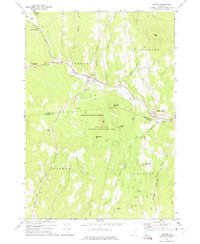
 1931 Woodsville1931 Print · USGSThe Upper Connecticut River Valley in the early 1930s reveals a landscape of riverside rail towns and debated state boundaries. Genealogists and historians can trace the foundations of local life through labels like the North Monroe Ch, Blackmount Sta, and the County Poor Farm.
 - 1935 Map of Woodsville
 1935 Woodsville1935 Print · USGSThe Connecticut River valley in the mid-1930s is captured here in detail along the Vermont-New Hampshire border. Researchers can trace the legacy of local institutions and transport at the County Poor Farm, the Blackmount Sta rail stop, and The Oxbow.5 unique versions available
 - 1941 Map of Woodsville
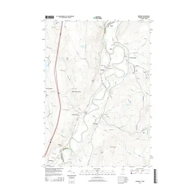
 1941 Woodsville1941 Print · USGSThe Connecticut River valley was a bustling corridor of granite quarries and rail junctions just before the war. You can trace the legacy of local industry and education through landmarks like Gibson Quarry, the County Poor Farm, and Town Farm Sch.4 unique versions available
 - 1950 Map of Lake Champlain
 1950 Lake Champlain1950 Print · USGSThe Lake Champlain valley and its surrounding peaks are captured in detail during the late 1940s, showing the vital rail and road connections between New York and Vermont. Researchers can trace the routes of the Central Vermont Railway or locate old industrial centers like Mineville and Witherbee.2 unique versions available
 - 1958 Map of Lake Champlain
 1958 Lake Champlain1958 Print · USGSThe Champlain Valley and surrounding high peaks are captured here in the late fifties, showcasing the cross-border region from the Adirondacks to the Green Mountains. Researchers can trace historic rail routes like the Rutland Railway or locate old valley settlements such as Keeseville and Vergennes.2 unique versions available
 - 1962 Map of Lake Champlain, 1975 Print
 1962 Lake Champlain1975 Print · USGSLake Champlain and the high peaks of the Adirondacks and Green Mountains are captured here during the mid-twentieth century. Researchers can trace the industrial legacy of the Lyon Mountain Mine and the rail corridors of the Central Vermont RR and Delaware & Hudson RR.3 unique versions available
 - 1973 Map of Newbury, 1975 Print
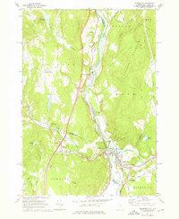
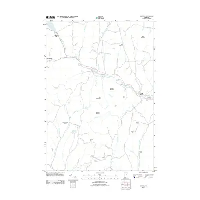
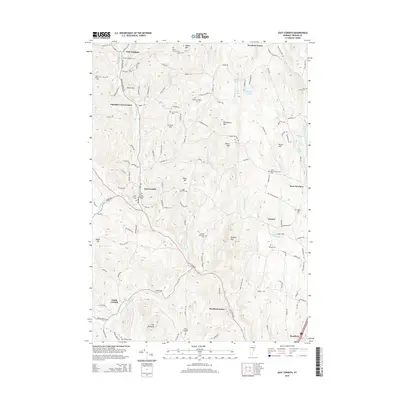
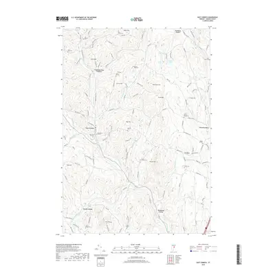
 1973 Newbury1975 Print · USGSThe Connecticut River valley on the Vermont-New Hampshire border was a landscape of fertile meadows and rail-side hamlets in the 1970s. Researchers can locate family landmarks like Ladd Street Cem, the Bedell Covered Bridge, and the winding banks of The Oxbow.
 - 1973 Map of East Corinth, 1975 Print
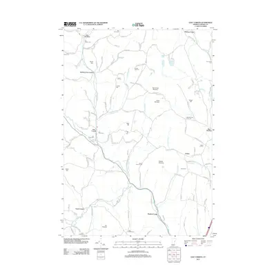
 1973 East Corinth1975 Print · USGSThe Orange County hill country comes into focus in the 1970s, showing the enduring rural character of the Waits River valley. Researchers can trace historic family cemeteries like Page Hill Cem and explore remote landmarks such as Iras Pinnacle.
 - 1973 Map of Groton, 1975 Print
 1973 Groton1975 Print · USGSThe Wells River valley in the early 1970s reveals a landscape of upland forests and small mountain settlements. Researchers can trace the Old Railroad Grade past Ricker Mills or locate local burials at Hillside Cem and Pinehurst Cem.
 - 1973 Map of Woodsville, 1976 Print
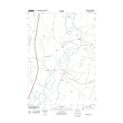
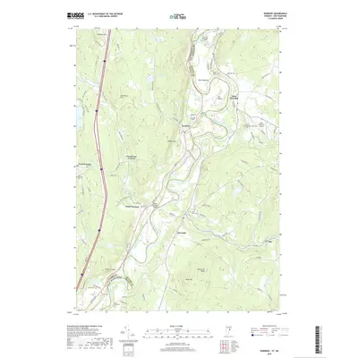
 1973 Woodsville1976 Print · USGSThe river-and-rail hub of Woodsville and Wells River is captured here in the early 1970s, where Vermont and New Hampshire meet. Genealogists can locate numerous burial sites including St Josephs Cem and Mills Mem Cem, or trace the path of the Boston and Maine through town.3 unique versions available
 - 1988 Map of Montpelier
 1988 Montpelier1988 Print · USGSThe area surrounding Vermont’s capital city appears here during the early 1940s, showing the vital rail-and-river network. Genealogists can trace family names across a dozen district schools and rural sites like Middlesex Center and the Talc Mine.2 unique versions available
 - 1999 Map of Woodsville, 2000 Print
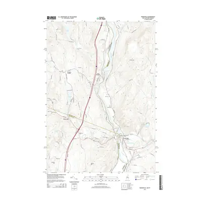
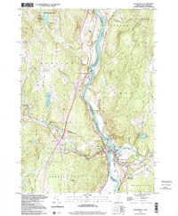 1999 Woodsville2000 Print · USGSThe upper Connecticut River valley at the turn of the millennium shows the enduring rail-and-river geography of the New Hampshire-Vermont border. Genealogists can locate family landmarks like St Josephs Cem, the Cottage Hospital, and the Covered Bridge at Woodsville.
 - 2012 Map of Woodsville, 2012 Print
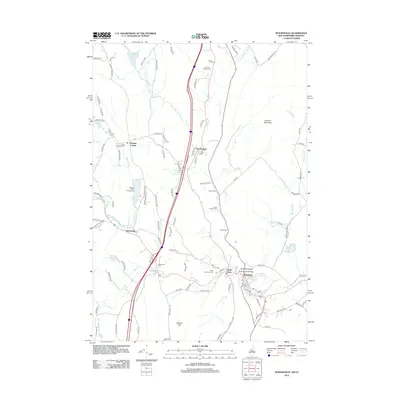 2012 Woodsville2012 Print · USGSCovers Newbury, including Haverhill, Woodsville, and other nearby areas
 - 2012 Map of Groton, 2012 Print
 2012 Groton2012 Print · USGSCovers Newbury, including Groton, Ryegate, and other nearby areas
 - 2012 Map of East Corinth, 2012 Print
 2012 East Corinth2012 Print · USGSCovers Newbury, including Bradford, Corinth, and other nearby areas
 - 2012 Map of Newbury, 2012 Print
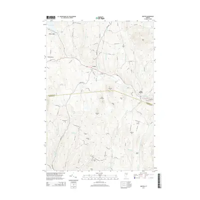
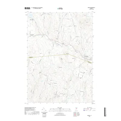
 2012 Newbury2012 Print · USGSCovers Newbury, including Haverhill, Newbury Village, and other nearby areas
 - 2015 Map of Woodsville, 2015 Print
 2015 Woodsville2015 Print · USGSCovers Newbury, including Haverhill, Woodsville, and other nearby areas
 - 2015 Map of East Corinth, 2015 Print
 2015 East Corinth2015 Print · USGSCovers Newbury, including Bradford, Corinth, and other nearby areas
 - 2015 Map of Groton, 2015 Print
 2015 Groton2015 Print · USGSCovers Newbury, including Groton, Ryegate, and other nearby areas
 - 2015 Map of Newbury, 2015 Print
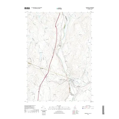
 2015 Newbury2015 Print · USGSCovers Newbury, including Haverhill, Newbury Village, and other nearby areas
 - 2018 Map of Newbury, 2018 Print
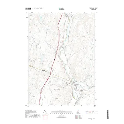
 2018 Newbury2018 Print · USGSCovers Newbury, including Haverhill, Newbury Village, and other nearby areas
 - 2018 Map of East Corinth, 2018 Print
 2018 East Corinth2018 Print · USGSCovers Newbury, including Bradford, Corinth, and other nearby areas
 - 2018 Map of Groton, 2018 Print
 2018 Groton2018 Print · USGSCovers Newbury, including Groton, Ryegate, and other nearby areas
 - 2018 Map of Woodsville, 2018 Print
 2018 Woodsville2018 Print · USGSCovers Newbury, including Haverhill, Woodsville, and other nearby areas
 - 2021 Map of Woodsville, 2021 Print
 2021 Woodsville2021 Print · USGSCovers Newbury, including Haverhill, Woodsville, and other nearby areas
Showing maps 1-25 of 32
Top cities near Newbury
- Littleton historical maps
- Haverhill historical maps
- Newbury Village historical maps
- Marshfield historical maps
- Lisbon historical maps
- Orford historical maps
See more
Top neighborhoods of Newbury
- South Newbury historical maps
- West Newbury historical maps
- Boltonville historical maps
- Peach Four Corners historical maps
- Goshen historical maps
- Newbury Center historical maps
See more
Frequently asked questions
- What are the different types of historical maps available for Newbury?
- What is the oldest map of Newbury?
- Where can I purchase historical maps of Newbury for my home or office?
- Where can I download high-res historical maps of Newbury?
- Are there historical topographic maps available for Newbury?
- Is there historical aerial imagery available for Newbury?
- Where are historical maps of Newbury sourced from?