2000s (21st Century) Maps of Vershire, Vermont
Explore 25 historic maps of Vershire from the 2000s (21st Century). These maps offer a rare glimpse into what life looked like during the 2000s — showing old roads, neighborhoods, homes, and landmarks that have changed or disappeared over time.
Whether you're researching your family's past, planning a metal detecting trip, or studying how Vershire's landscape evolved across the 2000s, these high-resolution maps are a powerful tool for exploring the history of this region.
- Focus on a specific era: All maps on this page are from the 2000s, giving you a focused view of this time period.
- See what’s changed: Compare century-old streets, trails, and buildings to today's modern landscape using overlays and satellite layers.
- Research with precision: Use these maps for genealogy, historical research, land use analysis, or educational projects.
- View, download, or print: Maps are fully viewable online in high resolution, and can be downloaded or printed for your own records.
Start exploring Vershire's history through authentic maps from the 2000s. This is your window into the past.
Vershire, VT maps
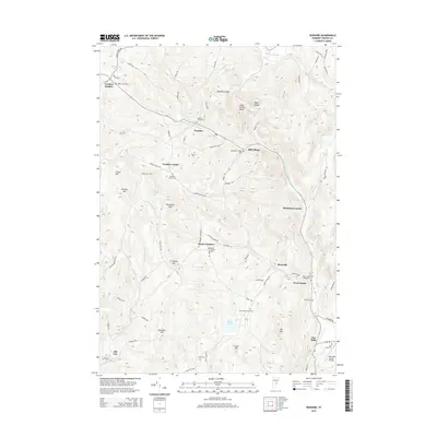
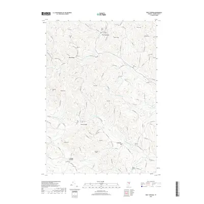
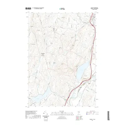
(25)- 2012 Map of West Topsham, 2012 Print
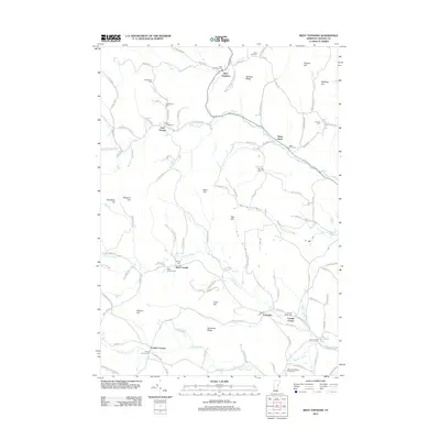 2012 West Topsham2012 Print · USGSCovers Vershire, including Orange, Washington, and other nearby areas
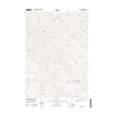
 - 2012 Map of Washington, 2012 Print
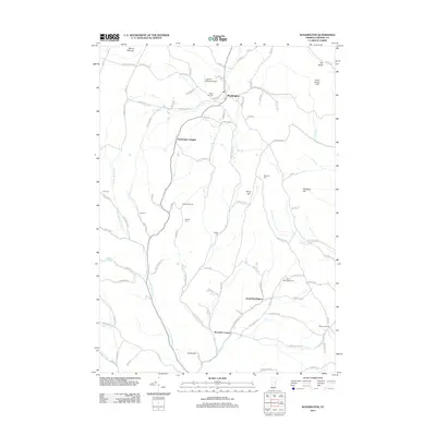 2012 Washington2012 Print · USGSCovers Vershire, including Williamstown, Orange, and other nearby areas
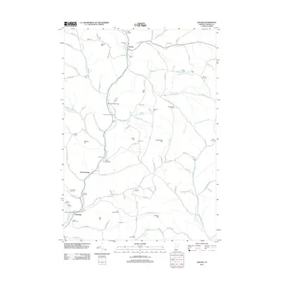
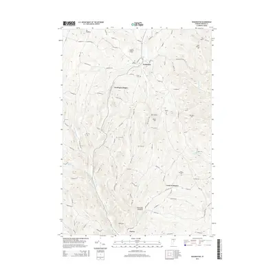
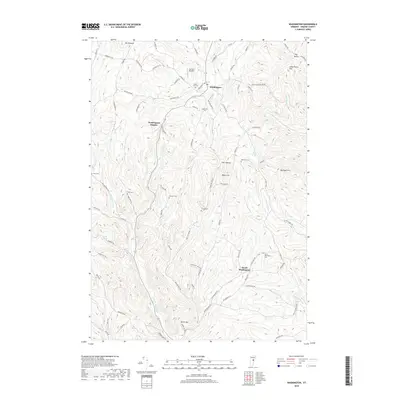
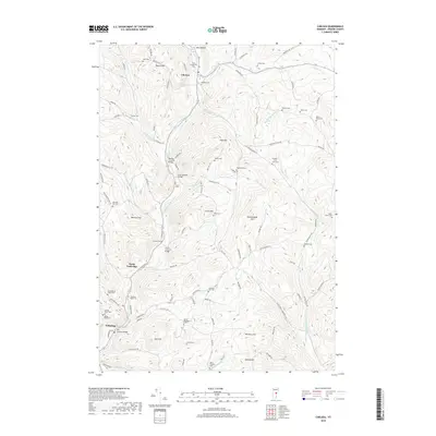
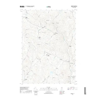
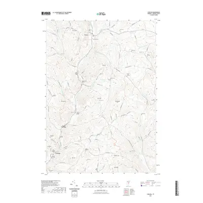
 - 2012 Map of Vershire, 2012 Print
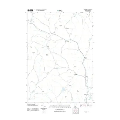 2012 Vershire2012 Print · USGSCovers Vershire, including Strafford, West Fairlee, and other nearby areas
 - 2012 Map of Fairlee, 2012 Print
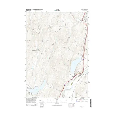
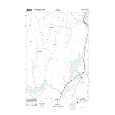 2012 Fairlee2012 Print · USGSCovers Vershire, including Orford, Bradford, and other nearby areas
 - 2012 Map of Chelsea, 2012 Print
 2012 Chelsea2012 Print · USGSCovers Vershire, including Tunbridge, Strafford, and other nearby areas
 - 2015 Map of Fairlee, 2015 Print
 2015 Fairlee2015 Print · USGSCovers Vershire, including Orford, Bradford, and other nearby areas
 - 2015 Map of Vershire, 2015 Print
 2015 Vershire2015 Print · USGSCovers Vershire, including Strafford, West Fairlee, and other nearby areas
 - 2015 Map of West Topsham, 2015 Print
 2015 West Topsham2015 Print · USGSCovers Vershire, including Orange, Washington, and other nearby areas
 - 2015 Map of Chelsea, 2015 Print
 2015 Chelsea2015 Print · USGSCovers Vershire, including Tunbridge, Strafford, and other nearby areas
 - 2015 Map of Washington, 2015 Print
 2015 Washington2015 Print · USGSCovers Vershire, including Williamstown, Orange, and other nearby areas
 - 2018 Map of Washington, 2018 Print
 2018 Washington2018 Print · USGSCovers Vershire, including Williamstown, Orange, and other nearby areas
 - 2018 Map of West Topsham, 2018 Print
 2018 West Topsham2018 Print · USGSCovers Vershire, including Orange, Washington, and other nearby areas
 - 2018 Map of Chelsea, 2018 Print
 2018 Chelsea2018 Print · USGSCovers Vershire, including Tunbridge, Strafford, and other nearby areas
 - 2018 Map of Vershire, 2018 Print
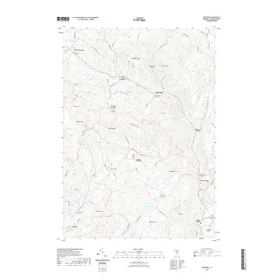
 2018 Vershire2018 Print · USGSCovers Vershire, including Strafford, West Fairlee, and other nearby areas
 - 2018 Map of Fairlee, 2018 Print
 2018 Fairlee2018 Print · USGSCovers Vershire, including Orford, Bradford, and other nearby areas
 - 2021 Map of Fairlee, 2021 Print
 2021 Fairlee2021 Print · USGSCovers Vershire, including Orford, Bradford, and other nearby areas
 - 2021 Map of Vershire, 2021 Print
 2021 Vershire2021 Print · USGSCovers Vershire, including Strafford, West Fairlee, and other nearby areas
 - 2021 Map of West Topsham, 2021 Print
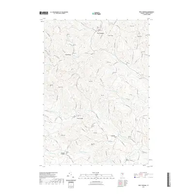 2021 West Topsham2021 Print · USGSCovers Vershire, including Orange, Washington, and other nearby areas
 - 2021 Map of Chelsea, 2021 Print
 2021 Chelsea2021 Print · USGSCovers Vershire, including Tunbridge, Strafford, and other nearby areas
 - 2021 Map of Washington, 2021 Print
 2021 Washington2021 Print · USGSCovers Vershire, including Williamstown, Orange, and other nearby areas
 - 2024 Map of Fairlee, 2024 Print
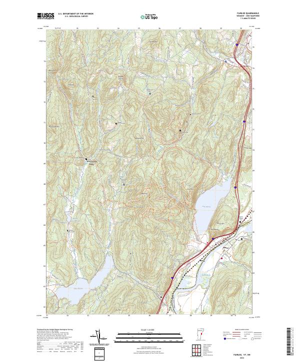 2024 Fairlee2024 Print · USGSThe river valley between Vermont and New Hampshire is documented here in the early twenty-first century. Genealogists can locate family burial grounds like Whiting Family Cem and Kidderhood Cem or trace the old paths of Old Stage Coach Rd.
 - 2024 Map of West Topsham, 2024 Print
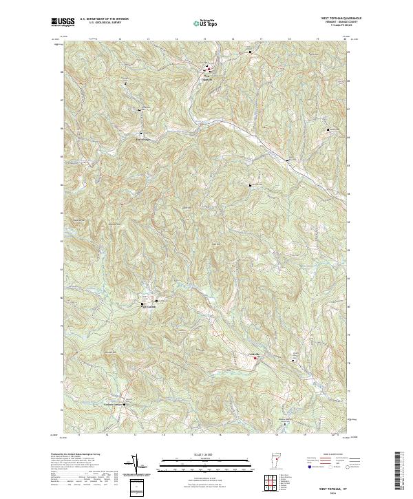 2024 West Topsham2024 Print · USGSOrange County's hill country comes alive in this survey of the Vermont landscape. Genealogists can trace family names through numerous burial sites like West Topsham Cem, Fellows Cem, and West Corinth Cem.
 - 2024 Map of Vershire, 2024 Print
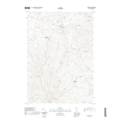
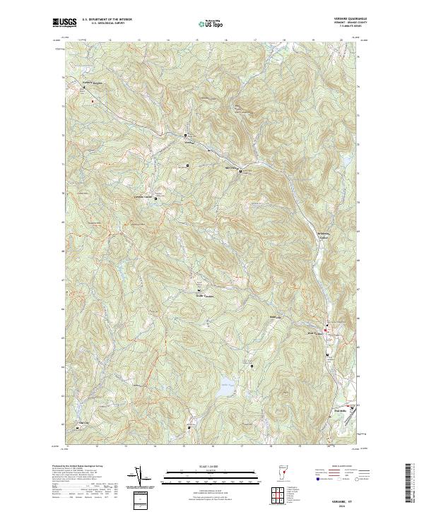 2024 Vershire2024 Print · USGSOrange County, Vermont, maintains its rural character in this contemporary survey of the highlands and river valleys. Researchers can trace numerous family-named burial grounds and historic crossroads such as Brimstone Corner, Mill Village, and the Old City Cem.
 - 2024 Map of Washington, 2024 Print
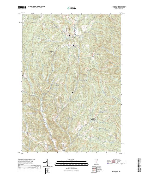 2024 Washington2024 Print · USGSVermont's upland character is on full display here in the 2020s, showing a landscape of high hills and deep hollows. Family historians can trace local roots across numerous burial grounds like Maple Hill Cem and the South Washington Cem.
 - 2024 Map of Chelsea, 2024 Print
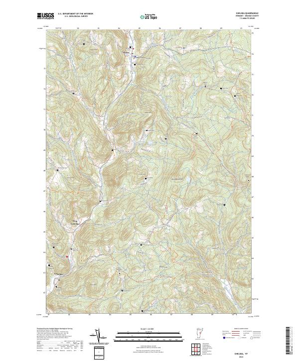 2024 Chelsea2024 Print · USGSChelsea and Tunbridge are documented here in the early twenty-first century, showing a landscape defined by high ridges and traditional river-valley settlements. Genealogists can trace family heritage through numerous burial grounds like Old Chelsea Cem, Wallace Cem, and Whitney Hill Cem.
End of results
Showing maps 1-25 of 25
Top cities near Vershire
- Hanover historical maps
- Barre historical maps
- Randolph historical maps
- Williamstown historical maps
- Norwich historical maps
- Berlin historical maps
See more
Top neighborhoods of Vershire
- Beanville historical maps
- Brimstone Corner historical maps
- Mill Village historical maps
- South Vershire historical maps
- Vershire Heights historical maps
- Vershire Center historical maps
Frequently asked questions
- What are the different types of historical maps available for Vershire?
- What is the oldest map of Vershire?
- Where can I purchase historical maps of Vershire for my home or office?
- Where can I download high-res historical maps of Vershire?
- Are there historical topographic maps available for Vershire?
- Is there historical aerial imagery available for Vershire?
- Where are historical maps of Vershire sourced from?