2000s (21st Century) Maps of Pomfret, Vermont
Explore 15 historic maps of Pomfret from the 2000s (21st Century). These maps offer a rare glimpse into what life looked like during the 2000s — showing old roads, neighborhoods, homes, and landmarks that have changed or disappeared over time.
Whether you're researching your family's past, planning a metal detecting trip, or studying how Pomfret's landscape evolved across the 2000s, these high-resolution maps are a powerful tool for exploring the history of this region.
- Focus on a specific era: All maps on this page are from the 2000s, giving you a focused view of this time period.
- See what’s changed: Compare century-old streets, trails, and buildings to today's modern landscape using overlays and satellite layers.
- Research with precision: Use these maps for genealogy, historical research, land use analysis, or educational projects.
- View, download, or print: Maps are fully viewable online in high resolution, and can be downloaded or printed for your own records.
Start exploring Pomfret's history through authentic maps from the 2000s. This is your window into the past.
Pomfret, VT maps
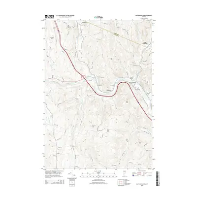
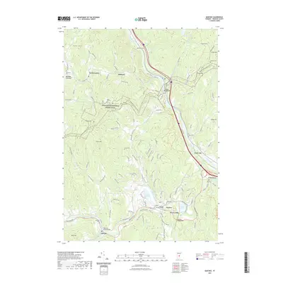
(15)- 2012 Map of Quechee, 2012 Print
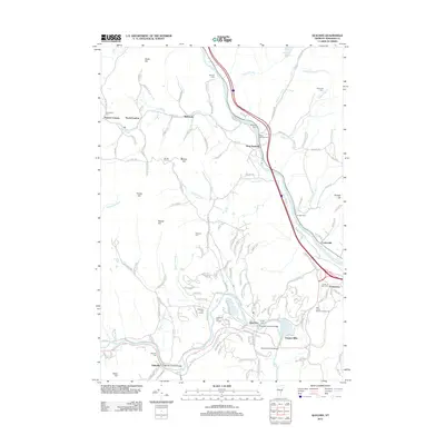 2012 Quechee2012 Print · USGSCovers Pomfret, including Hartford, Hartland, and other nearby areas
 - 2012 Map of South Royalton, 2012 Print
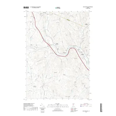
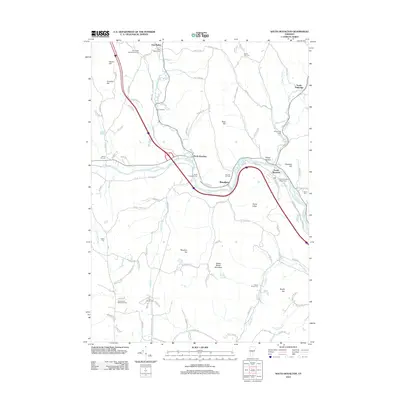 2012 South Royalton2012 Print · USGSCovers Pomfret, including Randolph, Royalton, and other nearby areas
 - 2012 Map of Woodstock North, 2012 Print
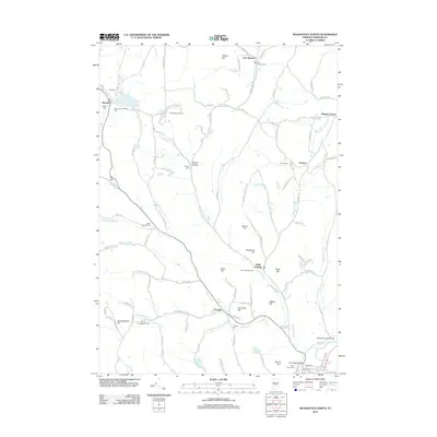 2012 Woodstock North2012 Print · USGSCovers Pomfret, including Woodstock Village, Woodstock, and other nearby areas
 - 2015 Map of Woodstock North, 2015 Print
 2015 Woodstock North2015 Print · USGSCovers Pomfret, including Woodstock Village, Woodstock, and other nearby areas
 - 2015 Map of South Royalton, 2015 Print
 2015 South Royalton2015 Print · USGSCovers Pomfret, including Randolph, Royalton, and other nearby areas
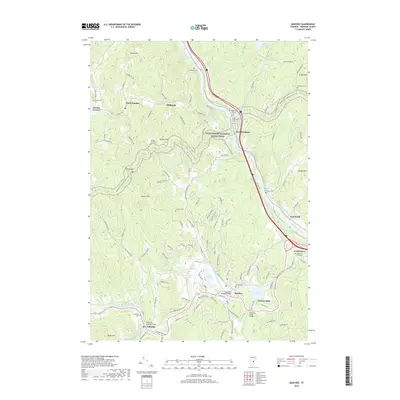
 - 2015 Map of Quechee, 2015 Print
 2015 Quechee2015 Print · USGSCovers Pomfret, including Hartford, Hartland, and other nearby areas
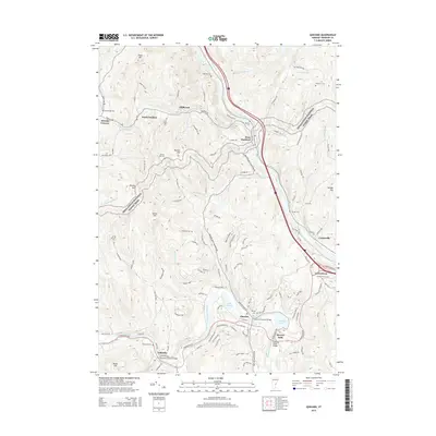
 - 2018 Map of Quechee, 2018 Print
 2018 Quechee2018 Print · USGSCovers Pomfret, including Hartford, Hartland, and other nearby areas
 - 2018 Map of Woodstock North, 2018 Print
 2018 Woodstock North2018 Print · USGSCovers Pomfret, including Woodstock Village, Woodstock, and other nearby areas
 - 2018 Map of South Royalton, 2018 Print
 2018 South Royalton2018 Print · USGSCovers Pomfret, including Randolph, Royalton, and other nearby areas
 - 2021 Map of Woodstock North, 2021 Print
 2021 Woodstock North2021 Print · USGSCovers Pomfret, including Woodstock Village, Woodstock, and other nearby areas
 - 2021 Map of South Royalton, 2021 Print
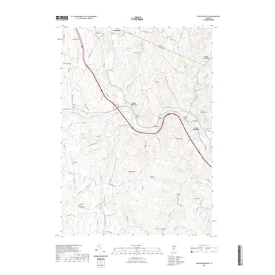 2021 South Royalton2021 Print · USGSCovers Pomfret, including Randolph, Royalton, and other nearby areas
 - 2021 Map of Quechee, 2021 Print
 2021 Quechee2021 Print · USGSCovers Pomfret, including Hartford, Hartland, and other nearby areas
 - 2024 Map of South Royalton, 2024 Print
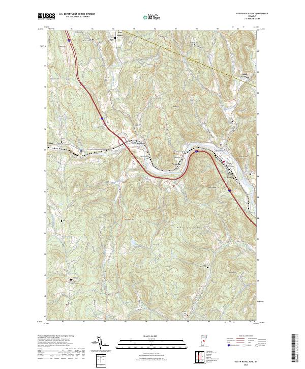 2024 South Royalton2024 Print · USGSCentral Vermont’s river valleys and upland hills are captured here in the modern era. Genealogists can trace family lines at South Royalton Village Cem, East Bethel Cem, and landmarks like Quarry Hill or the Vermont Law and Graduate School.
 - 2024 Map of Quechee, 2024 Print
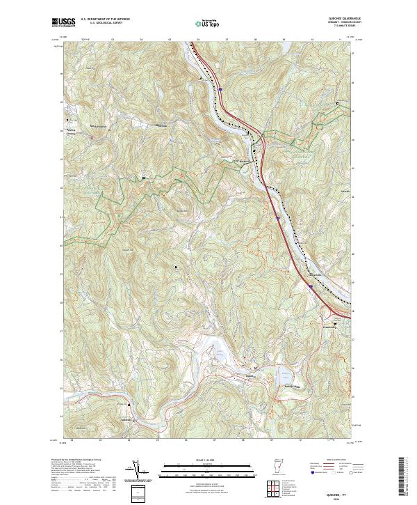 2024 Quechee2024 Print · USGSWindsor County communities line the river valleys and timbered ridges of this Vermont quadrangle in 2024. Genealogists and local historians can trace family locations near the Center of Town Cem, Deweys Mills, and the winding Appalachian National Scenic Trail.
 - 2024 Map of Woodstock North, 2024 Print
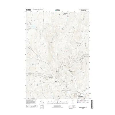
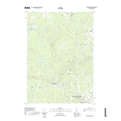
 2024 Woodstock North2024 Print · USGSThe hills of Windsor County, Vermont, are shown in this contemporary study of historic hamlets and high-country ridges. Genealogists can trace family roots through numerous burying grounds like Village Cem and Perkins Cem or explore the grounds of Marsh-Billings-Rockefeller National Historical Park.
End of results
Showing maps 1-15 of 15
Top cities near Pomfret
- Lebanon historical maps
- Hanover historical maps
- Hartford historical maps
- Randolph historical maps
- Hartland historical maps
- Norwich historical maps
See more
Top neighborhoods of Pomfret
- Hewitts Corners historical maps
- Millbrook historical maps
- South Pomfret historical maps
- North Pomfret historical maps
Frequently asked questions
- What are the different types of historical maps available for Pomfret?
- What is the oldest map of Pomfret?
- Where can I purchase historical maps of Pomfret for my home or office?
- Where can I download high-res historical maps of Pomfret?
- Are there historical topographic maps available for Pomfret?
- Is there historical aerial imagery available for Pomfret?
- Where are historical maps of Pomfret sourced from?