Old Maps of Saxis, Virginia for Hiking & Exploration
Hike through history with 13 historic maps of Saxis. Explore old trails, ghost towns, and forgotten backroads — perfect for outdoor adventurers and local explorers.
- Rediscover forgotten places: Map out old mining camps, roads, and footpaths that no longer exist on modern maps.
- Layer with modern tools: Combine with LiDAR or satellite views to plan hikes through historical terrain.
- Made for exploration: Popular among hikers, overlanders, and local history lovers.
Use these maps to find adventure and explore the hidden past of Saxis.
Saxis, VA maps
(13)- 1942 Map of Saxis, 1962 Print
 1942 Saxis1962 Print · USGSCoastal Accomack County and Somerset County come to life in this mid-century survey of the tidal marshes and fishing villages along Pocomoke Sound. Genealogists can trace family roots through the island community of Saxis or locate rural landmarks like Halls Chapel and Pocomoke Church.
 - 1943 Map of Saxis
 1943 Saxis1943 Print · USGSThe Virginia-Maryland borderlands of the early 1940s reveal a world of tidal marshes and isolated coastal hamlets. Genealogists can trace family names at Grotons, Shelltown, and Saxis, while locating landmarks like Pocomoke Church and the Free school.
 - 1946 Map of Eastville, 1971 Print
 1946 Eastville1971 Print · USGSCoastal Virginia and the Outer Banks are captured here during a period of expanding naval and aerospace presence. Researchers can trace the path of the Penn Central railroad through Chincoteague and Modest Town, or locate landmarks like the Wright Brothers National Memorial.
 - 1961 Map of Eastville
 1961 Eastville1961 Print · USGSThe Eastern Shore and Outer Banks are captured here in the mid-twentieth century, showing a maritime landscape of lighthouses, rail-linked towns, and naval outposts. Researchers can trace the Pennsylvania Railroad through Parksley or locate historical sites like Chincoteague Field Naval Auxiliary Air Station and Tangier Island.
 - 1966 Map of Eastville
 1966 Eastville1966 Print · USGSThe Delmarva Peninsula and Outer Banks appear in the mid-sixties, showing a landscape of maritime trade, military outposts, and fishing villages. Researchers can trace the lines of the Norfolk & Southern through Exmore and Parksley or locate historical sites like Fort John Custis and the Janes Island Lighthouse.
 - 1968 Map of Saxis, 1972 Print
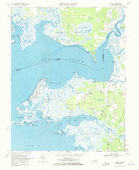 1968 Saxis1972 Print · USGSThe Virginia-Maryland borderlands of the late sixties are captured here, showing the delicate balance of life along Pocomoke Sound. Genealogists and local historians can trace family-named sites like Pitts Neck or visit coastal settlements such as Saxis and Sanford.3 unique versions available
 - 1981 Map of Chincoteague, 1982 Print
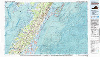 1981 Chincoteague1982 Print · USGSThe Delmarva Eastern Shore at the start of the eighties shows a unique blend of traditional coastal life and modern aerospace technology. Researchers can trace the Penn Central rail line through rural towns like Modest Town and Bloxom or explore the marshlands of the Saxis Marsh Waterfowl Management Area and Refuge.
 - 1984 Map of Chincoteague
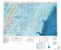 1984 Chincoteague1984 Print · USGSThe Virginia Eastern Shore and Delmarva Peninsula are captured here in the mid-1980s, showcasing a landscape of barrier islands and tidewater towns. Researchers can trace the Penn Central rail line through Accomac or locate the Wallops Flight Facility (NASA) and Chincoteague Nat Wildlife Refuge.2 unique versions available
 - 2011 Map of Saxis, 2011 Print
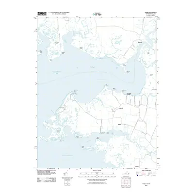 2011 Saxis2011 Print · USGSThe Virginia and Maryland borderlands along the Eastern Shore come into focus in this coastal survey. Genealogists and local historians can trace the roads and waterways connecting Saxis, Sanford, and Grotons near the Pocomoke Sound.
 - 2013 Map of Saxis, 2013 Print
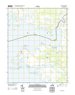 2013 Saxis2013 Print · USGSThe Virginia-Maryland border along the Pocomoke Sound is revealed here in the early twenty-first century as a land of tide-swept marshes and small coastal villages. Trace the isolated settlement of Saxis and its surrounding guts or explore inland communities like Sanford and Messongo.
 - 2016 Map of Saxis, 2016 Print
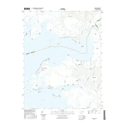 2016 Saxis2016 Print · USGSThe Virginia-Maryland borderlands along the Pocomoke Sound are captured here in the mid-2010s, showing a landscape shaped by marsh and tide. Genealogists and local historians can trace the community of Saxis and its Baptist Churchyard Cem, or locate smaller inland settlements like Grotons and Belinda.
 - 2019 Map of Saxis, 2019 Print
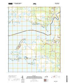 2019 Saxis2019 Print · USGSCoastal life on the Maryland-Virginia line is captured here in the late 2010s, where the Pocomoke River meets the sound. Researchers can trace family-named points and small bayside communities like Saxis, Shelltown, and the Baptist Churchyard Cem.
 - 2022 Map of Saxis, 2022 Print
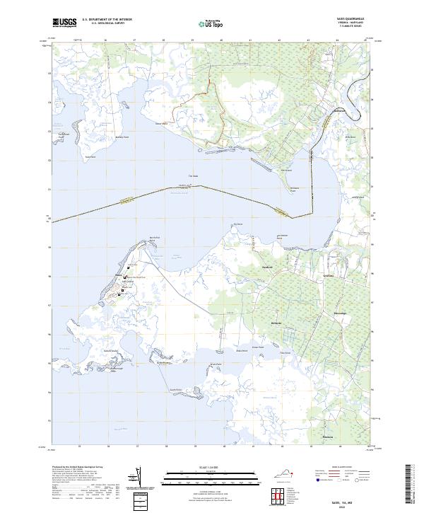 2022 Saxis2022 Print · USGSThe Virginia and Maryland state line cuts across the Pocomoke Sound in this contemporary coastal survey. Researchers can trace family history through several island burial sites like Justice Cem and Ellis Cem or explore the marsh-side hamlets of Messongo and Shelltown.
End of results
Showing maps 1-13 of 13
Top cities near Saxis
- Pocomoke City historical maps
- Crisfield historical maps
- Wattsville historical maps
- Onancock historical maps
- Parksley historical maps
- Atlantic historical maps
See more
Frequently asked questions
- What are the different types of historical maps available for Saxis?
- What is the oldest map of Saxis?
- Where can I purchase historical maps of Saxis for my home or office?
- Where can I download high-res historical maps of Saxis?
- Are there historical topographic maps available for Saxis?
- Is there historical aerial imagery available for Saxis?
- Where are historical maps of Saxis sourced from?