Old Maps of Scottsville, Virginia for Academic Research
Study the evolution of Scottsville with 27 high-resolution historic maps. Whether you're teaching, researching, or modeling changes in land use, these maps provide essential visual documentation of urban, environmental, and geographic change.
- Analyze long-term change: Track patterns in development, transportation, and natural features.
- Ideal for environmental or urban studies: Support academic projects with primary historical map data.
- Use in the classroom or lab: Educators and researchers rely on these maps to bring historical context to life.
These maps are a powerful tool for teaching, research, and visualizing how Scottsville has changed over the decades.
Scottsville, VA maps
(27)- 1891 Map of Palmyra
 1891 Palmyra1891 Print · USGSCentral Virginia during the late nineteenth century was a landscape of river-driven industry and railroad expansion along the James. Genealogists and historians can locate old processing sites like Arvonia Slate Quarry, remote outposts like Boyds Tavern, and the track of the Richmond and Alleghany Railroad.
 - 1892 Map of Buckingham
 1892 Buckingham1892 Print · USGSCentral Virginia in the late nineteenth century was defined by its river-and-rail economy along the James River. Genealogists and historians can trace the foundations of local life through the Kleinburg School, the Soap Stone Quarry, and the Virginia Midland Railroad.7 unique versions available
 - 1895 Map of Palmyra
 1895 Palmyra1895 Print · USGSThe James and Rivanna River valleys of central Virginia are captured here in the 1890s, revealing a landscape of rail-connected river towns and rural mills. Researchers can trace the Richmond and Alleghany Railroad and locate landmarks like the Arvon Slate Quarry or Flanagan Mill.
 - 1897 Map of Palmyra
 1897 Palmyra1897 Print · USGSCentral Virginia during the late 1880s is defined by its deep river valleys and the industrial reach of the James and Rivanna. Genealogists and historians can trace the growth of river towns like Scottsville or explore industrial roots at the Slate Quarry and Union Mills.7 unique versions available
 - 1929 Map of Covesville
 1929 Covesville1929 Print · USGSAlbemarle County’s soapstone industry and mountain communities are frozen in time just before the Depression. Genealogists and historians can trace family locations near Alberene, old schools like Red Hill Sch, and landmarks including Forest Lodge and Johnson Mill.3 unique versions available
 - 1935 Map of Covesville, 1961 Print
 1935 Covesville1961 Print · USGSMid-century Albemarle County was defined by its soapstone industry and a dense network of country schools and chapels. Genealogists and historians can trace the foundations of local life through landmarks like Albermarle Soapstone Company, Cedar Vale Sch, and the riverside hub of Scottsville.
 - 1943 Map of Scottsville, 1969 Print
 1943 Scottsville1969 Print · USGSCentral Virginia’s river valleys and historic estates are preserved in this mid-century portrait of the Albemarle and Fluvanna borderlands. Researchers can trace ancestral locations at Ash Lawn, follow the Chesapeake and Ohio line through Nicholas Siding, or locate rural landmarks like Jefferson Mill.
 - 1945 Map of Covesville
 1945 Covesville1945 Print · USGSAlbemarle County's river valleys and mountain foothills are shown here in the mid-1940s, a period defined by the convergence of rail and river commerce. Genealogists and historians can trace family locations near Alberene, Esmont, and the Mt Zion Ch, or locate old industrial sites like Johnson Mill.
 - 1946 Map of Scottsville
 1946 Scottsville1946 Print · USGSCentral Virginia during the mid-1940s is shown here as a landscape of river-bend towns and quiet country crossroads. Genealogists and historians can trace family locations through named landmarks like Jefferson Mill, Blenheim, and Antioch Ch, or follow the historic Three Chopt Road.2 unique versions available
 - 1947 Map of Roanoke, 1948 Print
 1947 Roanoke1948 Print · USGSCentral Virginia in the late 1940s reveals a region defined by its great mountain ridges and the powerful river-and-rail economy connecting Roanoke to Lynchburg. Researchers can trace the path of the Virginian RR and locate historic county seats like Charlotte Court House.2 unique versions available
 - 1959 Map of Roanoke
 1959 Roanoke1959 Print · USGSCentral Virginia and the Blue Ridge appear in great detail during the late fifties, showcasing the transition from mountain industry to Piedmont farmland. Trace the path of the Norfolk and Western railroad or find old river towns like Appomattox and Amelia Court House.
 - 1963 Map of Roanoke
 1963 Roanoke1963 Print · USGSCentral Virginia and the Blue Ridge front appear here in the early sixties, caught between their deep railroad roots and new postwar developments. Genealogists and historians can trace the rail lines of the Norfolk and Western through towns like Bedford and Altavista, or locate family landmarks near Smith Mountain Lake.
 - 1967 Map of Esmont, 1968 Print
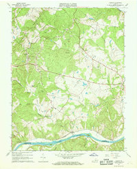 1967 Esmont1968 Print · USGSAlbemarle County's Piedmont landscape is captured here in the late sixties, showing the vital river-and-rail corridor along the southern border. Genealogists and local historians can trace family locations near Esmont, Keene, and Scottsville, or find local landmarks like Yancy Sch and Dawson Mill.3 unique versions available
 - 1967 Map of Scottsville, 1969 Print
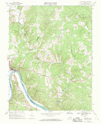 1967 Scottsville1969 Print · USGSThe James River region at the end of the 1960s reveals a landscape defined by sharp river bends and industrial heritage. Genealogists and historians can trace family locations near Scottsville, Jefferson Mill, and rural landmarks like Fox Memorial Ch.2 unique versions available
 - 1971 Map of Roanoke, 1977 Print
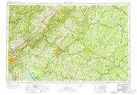 1971 Roanoke1977 Print · USGSThe Virginia Piedmont and Blue Ridge mountains meet in this early 1970s landscape of river valleys and rail hubs. Researchers can trace historic transportation routes and landmarks like the Appomattox Court House Nat Hist Pk, the Peaks of Otter, and Amelia Court House.2 unique versions available
 - 1979 Map of Dillwyn, 1982 Print
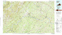 1979 Dillwyn1982 Print · USGSCentral Virginia in the late seventies is defined by the winding James River and the rural communities of the Piedmont. Trace old transportation corridors and family-named ridges from Dillwyn and Buckingham to the Blue Ridge foothills.
 - 1979 Map of Esmont, 1982 Print
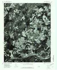 1979 Esmont1982 Print · USGSSouthern Albemarle County is captured in the late seventies, showing the rural landscape between the James River and the Piedmont hills. Researchers can trace land use around Esmont, Scottsville, and the riverside settlement of Warren.
 - 2010 Map of Esmont, 2010 Print
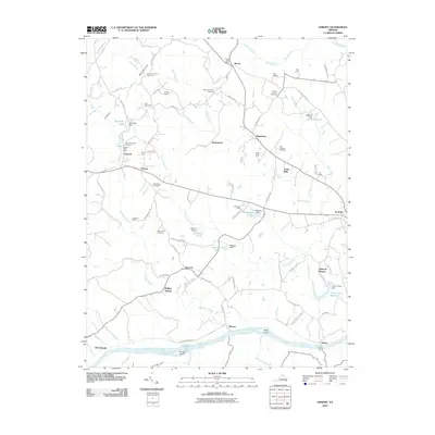 2010 Esmont2010 Print · USGSThe James River valley south of Charlottesville appears here during a period of preserved rural character and historic estate farming. Researchers can locate numerous family burial sites like the Van Clief Family Cemetery and trace river landmarks such as Hattons Ferry and Rock Island.
 - 2010 Map of Scottsville, 2010 Print
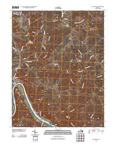 2010 Scottsville2010 Print · USGSThe James River corridor in Albemarle County was well-established by the early 2000s, centered on the riverfront town of Scottsville. Researchers can trace old family sites and rural landmarks like the Jefferson Mill, Antioch Cemetery, and the dramatic Muleshoe Bend.
 - 2013 Map of Scottsville, 2013 Print
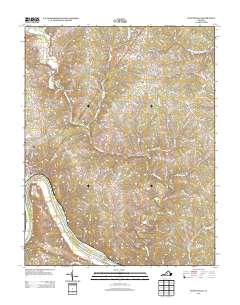 2013 Scottsville2013 Print · USGSAlbemarle County's riverfront comes into focus in this modern era, centered on the historic river town of Scottsville. Local researchers can trace family-named landmarks and water features like Jefferson Mill, Horseshoe Bend, and the rural settlement of Antioch.
 - 2013 Map of Esmont, 2013 Print
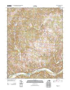 2013 Esmont2013 Print · USGSSouthern Albemarle County at the start of the 21st century remains defined by its relationship with the James River and historic landholdings. Genealogists and local historians can trace family-named tracts and river crossings from Hattons Ferry to Old Woodville and Nydrie Farms.
 - 2016 Map of Esmont, 2016 Print
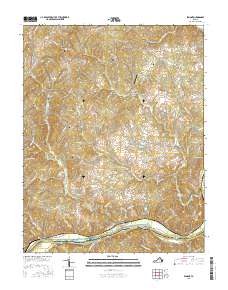 2016 Esmont2016 Print · USGSAlbemarle County's Piedmont landscape is captured here in the mid-2010s, showing the rural communities along the James River. Researchers can locate numerous family burial grounds and historical farmsteads like Plain Dealing Farm, Mount Zion Cem, and the river landing at Hatton.
 - 2016 Map of Scottsville, 2016 Print
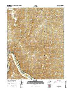 2016 Scottsville2016 Print · USGSAlbemarle County and its river borders come into focus in the mid-2010s, centered on the strategic bend in the James River. Local researchers can trace the rural layout of Scottsville, locate family sites near Antioch Cemetery, and follow the winding paths of the Hardware River and Rockfish Creek.
 - 2019 Map of Esmont, 2019 Print
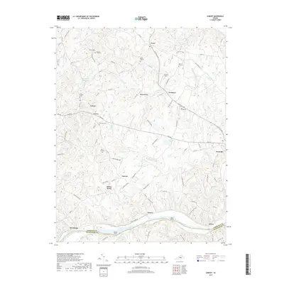 2019 Esmont2019 Print · USGSIn the countryside of Albemarle County south of Charlottesville, this survey illustrates a landscape of family cemeteries and river crossings. Genealogists can trace family names at the Vani Clief Family Cem or locate the old ferry landing at Hatton near Goosby Island along the James River.
 - 2019 Map of Scottsville, 2019 Print
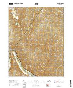 2019 Scottsville2019 Print · USGSCentered on the three-county junction near the James River, this modern survey shows the central Virginia Piedmont landscape in high detail. Genealogists and local historians can trace family roots through the Scottsville Cem, Antioch Cem, and the old river bends at Nicholas.
Showing maps 1-25 of 27
Top cities near Scottsville
- Charlottesville historical maps
- Lake Monticello historical maps
- Pantops historical maps
- Rivanna historical maps
- North Garden historical maps
- Keswick historical maps
Top neighborhoods of Scottsville
Frequently asked questions
- What are the different types of historical maps available for Scottsville?
- What is the oldest map of Scottsville?
- Where can I purchase historical maps of Scottsville for my home or office?
- Where can I download high-res historical maps of Scottsville?
- Are there historical topographic maps available for Scottsville?
- Is there historical aerial imagery available for Scottsville?
- Where are historical maps of Scottsville sourced from?