2020s Maps of Amelia County, Virginia
Explore 13 historic maps of Amelia County from the 2020s. These maps offer a rare glimpse into what life looked like during the 2020s — showing old roads, neighborhoods, homes, and landmarks that have changed or disappeared over time.
Whether you're researching your family's past, planning a metal detecting trip, or studying how Amelia County's landscape evolved across the 2020s, these high-resolution maps are a powerful tool for exploring the history of this region.
- Focus on a specific era: All maps on this page are from the 2020s, giving you a focused view of this time period.
- See what’s changed: Compare century-old streets, trails, and buildings to today's modern landscape using overlays and satellite layers.
- Research with precision: Use these maps for genealogy, historical research, land use analysis, or educational projects.
- View, download, or print: Maps are fully viewable online in high resolution, and can be downloaded or printed for your own records.
Start exploring Amelia County's history through authentic maps from the 2020s. This is your window into the past.
Amelia County, VA maps
(13)- 2022 Map of Hebron, 2022 Print
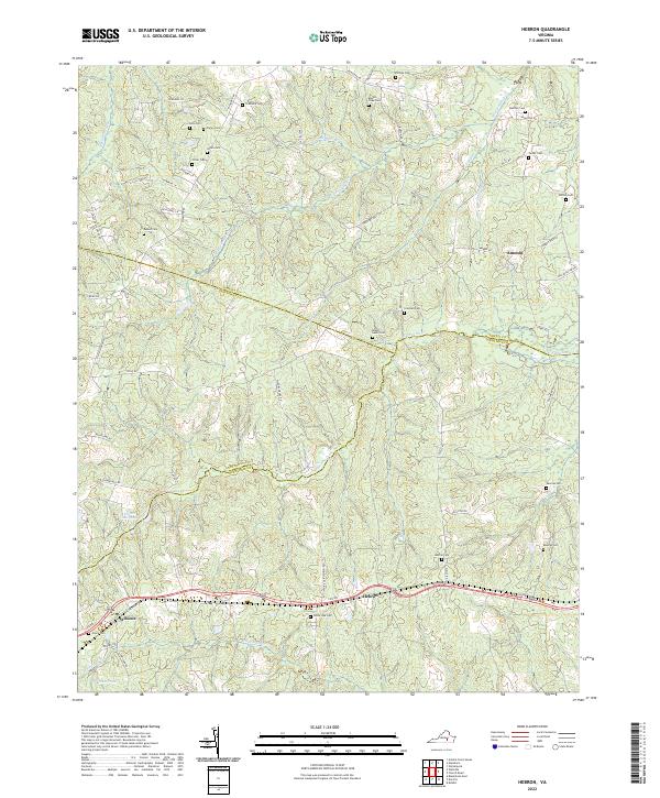 2022 Hebron2022 Print · USGSDinwiddie and Nottoway Counties come together in this 2022 survey of a landscape shaped by rural crossroads and winding creeks. Genealogists can trace family landmarks like Hebron Cem, Reames Cem, and the settlement at Wilsons along the historic Cox Rd.
 - 2022 Map of Mannboro, 2022 Print
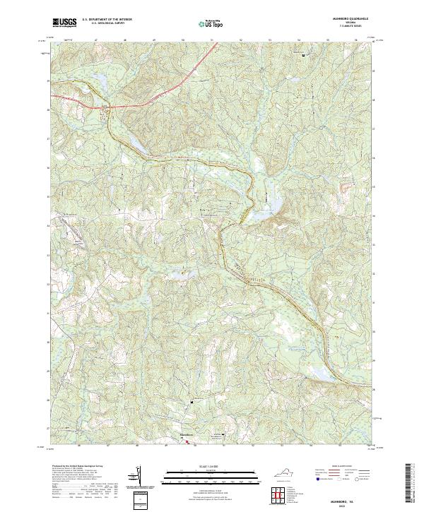 2022 Mannboro2022 Print · USGSThe Amelia and Chesterfield county line follows the winding Appomattox River through this rural Virginia landscape in the early 2020s. Genealogists and local historians can trace family locations near Mannboro, Branches Runn Baptist Church, and several quiet cemeteries like Oak Grove Cem.
 - 2022 Map of Amelia Court House, 2022 Print
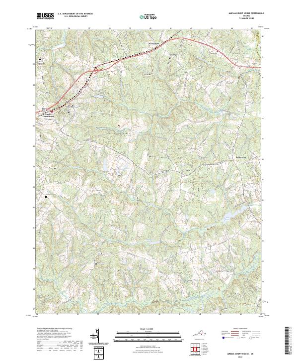 2022 Amelia Court House2022 Print · USGSAmelia County serves as a central hub of Virginia history in this modern survey of its seat. Genealogists and historians can trace family locations near Amelia Court House, locating sites like Big Oak Cem and the Amelia County Courthouse.
 - 2022 Map of Winterpock, 2022 Print
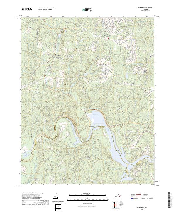 2022 Winterpock2022 Print · USGSThe rural residential landscape of Chesterfield County is mapped here in the early twenty-first century, centered on the community of Winterpock. Genealogists and local historians can trace the grounds of Centenary Cem, Bethia United Methodist Church Cem, and the waters of Lake Chesdin.
 - 2022 Map of Chula, 2022 Print
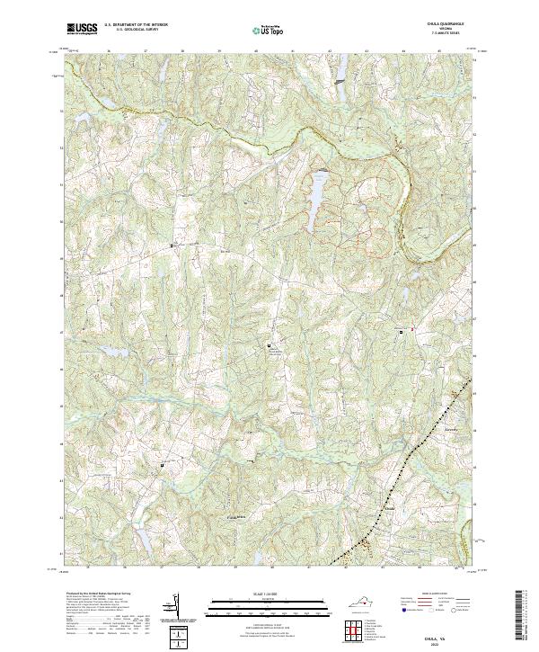 2022 Chula2022 Print · USGSCentral Virginia's rural landscape is captured here along the Amelia and Powhatan county line. Genealogists can trace family footprints through historic sites like Grub Hill Cem, the Pleasant Grove Baptist Church Cem, and the settlement of Chula.
 - 2022 Map of Church Road, 2022 Print
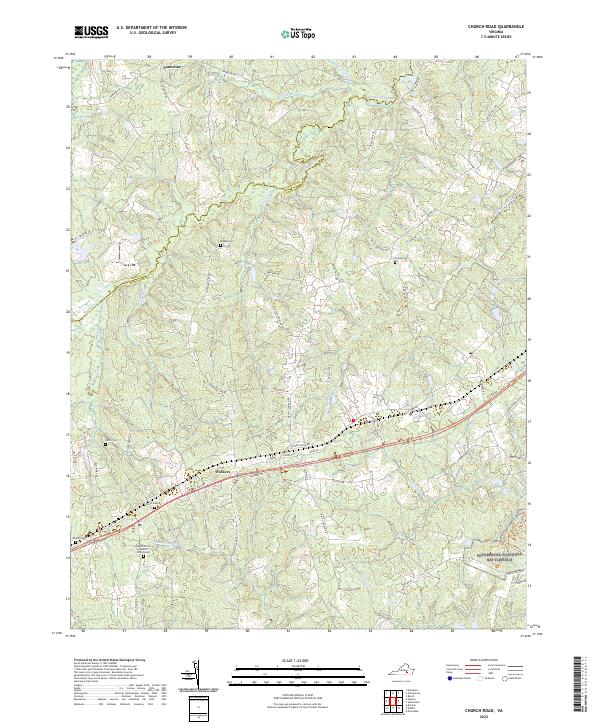 2022 Church Road2022 Print · USGSDinwiddie and Amelia counties meet along the winding Namozine Creek in this contemporary survey of south-central Virginia. Genealogists and historians can trace numerous rural burying grounds such as Mispah Cem and the edges of the Petersburg National Battlefield.
 - 2022 Map of Wellville, 2022 Print
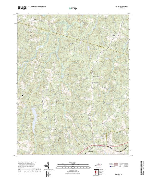 2022 Wellville2022 Print · USGSNottoway County, Virginia, maintains its rural heritage in this recent survey of the areas around Wellville and Spainville. Researchers can trace local history through features like Bethel Cem, the waters of Lake Lee, and the crossroads at Earls.
 - 2022 Map of Clayville, 2022 Print
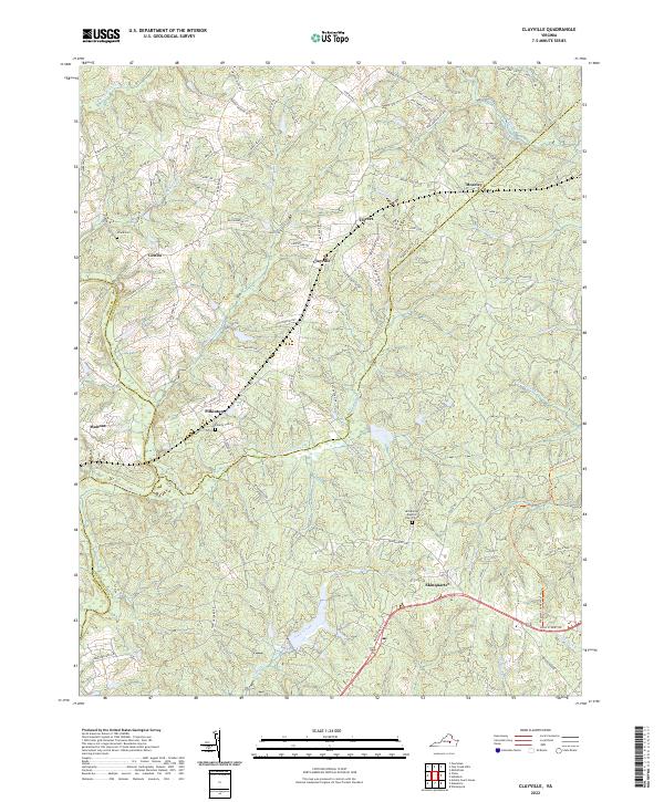 2022 Clayville2022 Print · USGSThe headwaters of the Appomattox River define this Virginia landscape, where quiet hamlets sit at the crossroads of three counties. Genealogists can trace family names and historic sites at Skinquarter Baptist Church Cem, Pilkinton, and Genito.
 - 2022 Map of Cumberland, 2022 Print
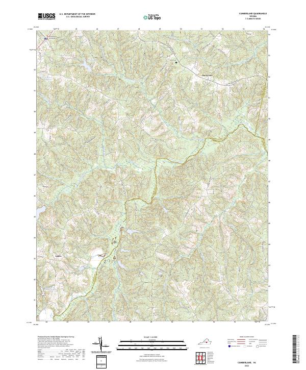 2022 Cumberland2022 Print · USGSCumberland County in the early twenty-first century maintains its deep-rooted rural character defined by the winding Appomattox River. Researchers can trace local landmarks like Grove Cem and the Cumberland County Courthouse alongside family-named sites such as Tom Rogers Farm Pond.
 - 2022 Map of Deatonville, 2022 Print
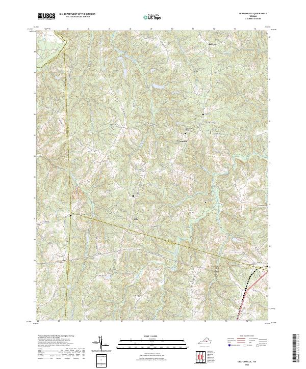 2022 Deatonville2022 Print · USGSThe Amelia County countryside near Deatonville is captured here in the early twenty-first century, showing a landscape of deep-rooted settlements and family lands. Genealogists can trace rural history through numerous sites like Bethel Cem, Gills, and Southall Cem.
 - 2022 Map of Jetersville, 2022 Print
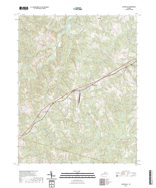 2022 Jetersville2022 Print · USGSAmelia County’s rural crossroads and rolling drainage basins are preserved here in the early twenty-first century. Researchers can trace family ties through Good Hope Cem, the settlement at Jetersville, and the winding path of Old Court House Rd.
 - 2022 Map of Ballsville, 2022 Print
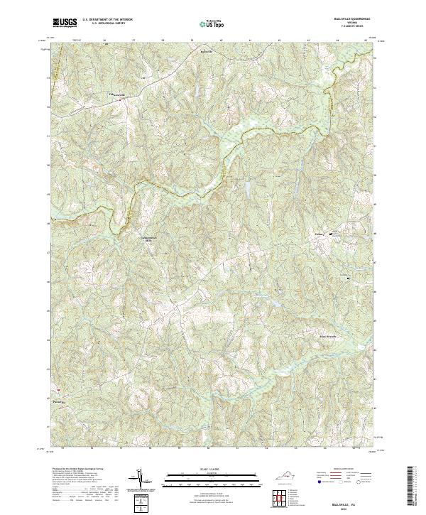 2022 Ballsville2022 Print · USGSThe rural crossroads of Amelia and Powhatan counties are captured here in the early twenty-first century. Researchers can trace historical footprints at Clementown Mills, the Flower Hill Baptist Church Cem, and the old settlement of Tobaccoville.
 - 2022 Map of Crewe East, 2022 Print
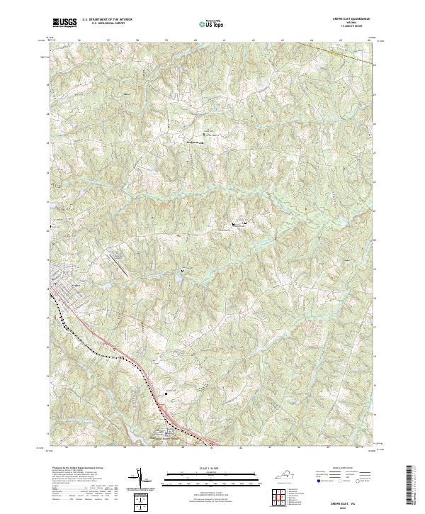 2022 Crewe East2022 Print · USGSSouthside Virginia's rural landscape is captured here in the early twenty-first century, centered on the historic seat at Nottoway Court House. Genealogists can locate family burial sites like Strum Cem and Towler Cem or trace the residential streets of Crewe.
End of results
Showing maps 1-13 of 13
Top cities of Amelia County
Frequently asked questions
- What are the different types of historical maps available for Amelia County?
- What is the oldest map of Amelia County?
- Where can I purchase historical maps of Amelia County for my home or office?
- Where can I download high-res historical maps of Amelia County?
- Are there historical topographic maps available for Amelia County?
- Is there historical aerial imagery available for Amelia County?
- Where are historical maps of Amelia County sourced from?