2000s (21st Century) Maps of Amelia County, Virginia
Explore 65 historic maps of Amelia County from the 2000s (21st Century). These maps offer a rare glimpse into what life looked like during the 2000s — showing old roads, neighborhoods, homes, and landmarks that have changed or disappeared over time.
Whether you're researching your family's past, planning a metal detecting trip, or studying how Amelia County's landscape evolved across the 2000s, these high-resolution maps are a powerful tool for exploring the history of this region.
- Focus on a specific era: All maps on this page are from the 2000s, giving you a focused view of this time period.
- See what’s changed: Compare century-old streets, trails, and buildings to today's modern landscape using overlays and satellite layers.
- Research with precision: Use these maps for genealogy, historical research, land use analysis, or educational projects.
- View, download, or print: Maps are fully viewable online in high resolution, and can be downloaded or printed for your own records.
Start exploring Amelia County's history through authentic maps from the 2000s. This is your window into the past.
Amelia County, VA maps
(65)- 2010 Map of Jetersville, 2010 Print
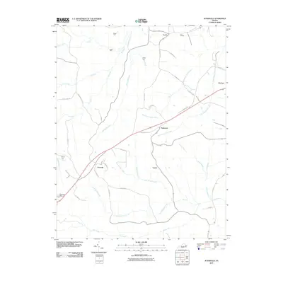 2010 Jetersville2010 Print · USGSAmelia County at the start of the 21st century reveals a landscape of quiet rural crossroads and winding creek branches. Genealogists and local historians can trace family-named landmarks and community sites like Salem Cemetery, Jetersville, and Manns Dam.
 - 2010 Map of Deatonville, 2010 Print
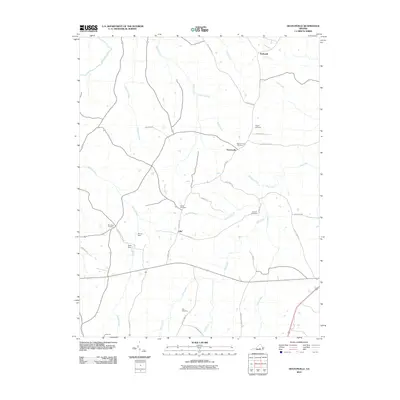 2010 Deatonville2010 Print · USGSAmelia County’s rural character is preserved in this study of the landscape near the turn of the decade. Genealogists and local historians can trace legacy sites like Pilgrim Cemetery, the Southall Cemetery, and the community of Deatonville.
 - 2010 Map of Crewe East, 2010 Print
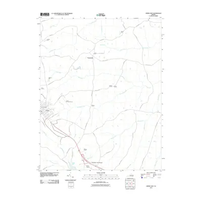 2010 Crewe East2010 Print · USGSCrewe and the surrounding Nottoway County countryside are captured here in the years following the turn of the millennium. Researchers can trace local heritage through several family-named landmarks and burial grounds, including Blendon Cemetery, Towler Cemetery, and the settlement at Fergusonville.
 - 2010 Map of Cumberland, 2010 Print
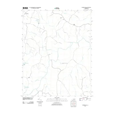 2010 Cumberland2010 Print · USGSCumberland County at the start of the 2010s remains a landscape of traditional river settlements and family-named landmarks. Researchers can trace the heritage of the Appomattox River valley through sites like Stony Point Mills, Grove Cemetery, and Doctor W B Blanton Pond.
 - 2010 Map of Ballsville, 2010 Print
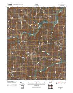 2010 Ballsville2010 Print · USGSAmelia County as it appeared in the early 21st century remains a landscape of quiet crossroads and historic river bends. Researchers can trace ancestral locations near Clementown Mills and Lodore, or locate family plots at Piedmont Cemetery.
 - 2010 Map of Amelia Court House, 2010 Print
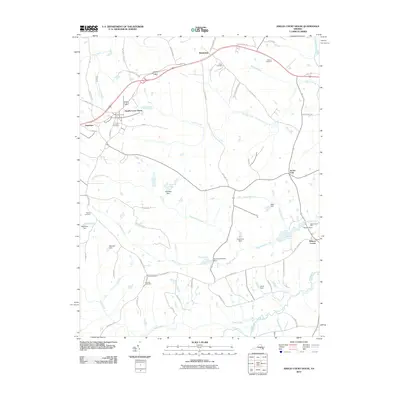 2010 Amelia Court House2010 Print · USGSAmelia County at the start of the 21st century remains a landscape of historic crossroads and family-named landmarks. Genealogists can trace rural roots through Big Oak Cemetery or locate old industrial sites like Beaverpond Mill and Pointons Store.
 - 2010 Map of Winterpock, 2010 Print
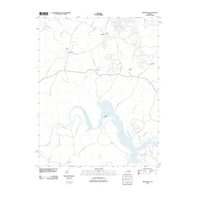 2010 Winterpock2010 Print · USGSThe Winterpock area of Chesterfield County comes into focus in this late-aughts survey, centered on the Appomattox River and Lake Chesdin. Local historians can trace family roots at Centenary Cemetery or Bethia Cemetery and locate rural landmarks like Whites Store.
 - 2010 Map of Hebron, 2010 Print
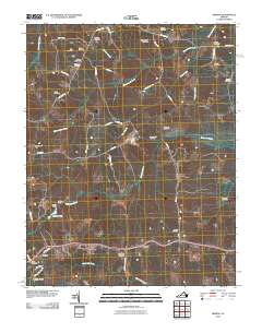 2010 Hebron2010 Print · USGSAmelia County remains a patchwork of family farms and historic homesteads in the early twenty-first century. Researchers can locate numerous family burial grounds like Craddock Cemetery and trace the local economy through sites like Hobbs Mill and Harris Store.
 - 2010 Map of Church Road, 2010 Print
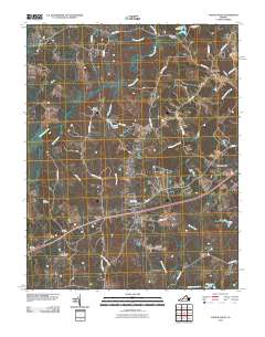 2010 Church Road2010 Print · USGSThe rural Virginia landscape of Namozine and Church Road is seen here as it was in the early 2010s. Local researchers can locate numerous family burial sites like Corinth Cemetery and Norris Cemetery, alongside older settlements at Walkers and Ford.
 - 2010 Map of Wellville, 2010 Print
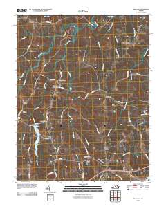 2010 Wellville2010 Print · USGSNottoway County maintains its traditional rural character in the early twenty-first century, anchored by the crossroads of Wellville. Researchers can locate family-named landmarks and old-line commerce sites like Pattersons Store, Spainville, and Bethel Cemetery.
 - 2010 Map of Mannboro, 2010 Print
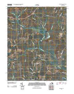 2010 Mannboro2010 Print · USGSThe Appomattox River valley in Amelia County comes into focus during the early twenty-first century, showing a landscape defined by its waterways and rural road networks. Researchers can trace family history through Sappony Cemetery or locate historical crossings like Goodes Bridge and Bevils Bridge.
 - 2010 Map of Chula, 2010 Print
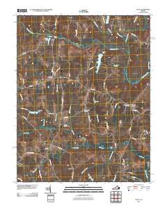 2010 Chula2010 Print · USGSAmelia County’s rural crossroads and river landings are documented here in the early twenty-first century. Genealogists can locate family landmarks like Grub Hill Cemetery, the community of Chula, and historic sites near Giles Mill and Elk Hill.
 - 2010 Map of Clayville, 2010 Print
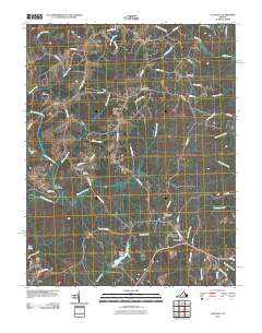 2010 Clayville2010 Print · USGSPowhatan and Amelia counties are captured here at the start of the 2010s, centered on the Appomattox River. Genealogists and local historians can trace the rural landscape between Moseley and Skinquarter, identifying sites like Liberty Cemetery and Tates Pond.
 - 2013 Map of Wellville, 2013 Print
 2013 Wellville2013 Print · USGSNottoway County’s rural crossroads and creek-side communities are well preserved here during the early 2010s. Researchers can trace the legacy of local settlements like Spainville and Clays Corner, or locate historical water features like Lake Lee and Namozine Cr.
 - 2013 Map of Chula, 2013 Print
 2013 Chula2013 Print · USGSAmelia County’s rural landscape is captured here in the early 2000s as the river-and-rail economy evolved into a mix of small settlements and conservation lands. Researchers can trace family-named landmarks and old crossroads at Giles Mill, Fieldstown, and Masons Corner.
 - 2013 Map of Ballsville, 2013 Print
 2013 Ballsville2013 Print · USGSAmelia County’s rural riverfront comes to life in the early twenty-first century as the Appomattox River carves through a landscape of historic crossroads. Trace the locations of long-standing communities like Clementown Mills, Tobaccoville, and Lodore.
 - 2013 Map of Clayville, 2013 Print
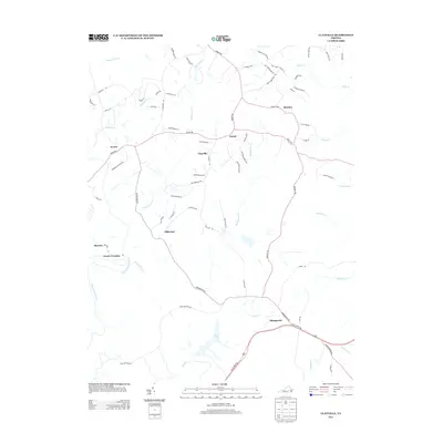 2013 Clayville2013 Print · USGSPowhatan and Chesterfield counties are captured here in the early twenty-first century as rural crossroads and newer residential lanes began to overlap. Researchers can trace the riverbanks near Mattoax or locate family sites around Clayville and Skinquarter.
 - 2013 Map of Amelia Court House, 2013 Print
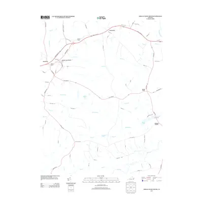 2013 Amelia Court House2013 Print · USGSAmelia County as it appeared in the early twenty-first century shows a landscape defined by traditional Piedmont crossroads and winding creek branches. Researchers can trace local landmarks like Beaverpond Mill and rural settlements such as Scotts Fork or Winterham.
 - 2013 Map of Deatonville, 2013 Print
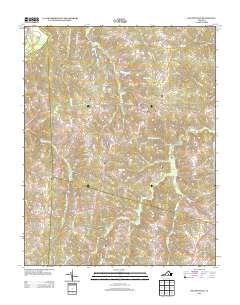 2013 Deatonville2013 Print · USGSAmelia County as it appeared in the early 2010s shows a landscape still deeply rooted in its rural crossroads and river-fed geography. Genealogists and researchers can trace the vicinity of Deatonville and Gills or follow old routes like Morrissetts Mill Rd.
 - 2013 Map of Winterpock, 2013 Print
 2013 Winterpock2013 Print · USGSChesterfield County's rural landscape meets modern expansion in the early 2010s as suburban developments spread toward the Appomattox River. Researchers can trace the legacy of old mining and milling districts through names like Winterpock, Coalboro Rd, and Brattice Mill Rd.
 - 2013 Map of Cumberland, 2013 Print
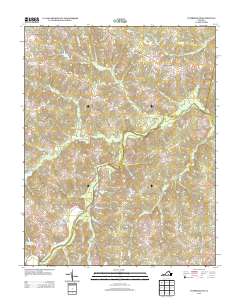 2013 Cumberland2013 Print · USGSCumberland County at the start of the 2010s reveals a landscape of enduring rural settlements and historic mill sites. Genealogists and researchers can trace local landmarks like Stony Point Mills, Doctor W B Blanton Pond, and the various branches of Little Guinea Cr.
 - 2013 Map of Mannboro, 2013 Print
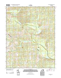 2013 Mannboro2013 Print · USGSAmelia County’s rural interior is documented here during the early twenty-first century, showing the enduring paths of the Appomattox River and its tributaries. Local historians can trace family-named landmarks and crossings like Goodes Bridge, the settlement of Mannboro, and the uniquely named Bevils-Devils Bridge Bridge.
 - 2013 Map of Church Road, 2013 Print
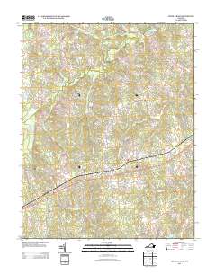 2013 Church Road2013 Print · USGSCoastal plain settlements and creek-side farms define this area of Virginia in the early twenty-first century. Researchers can trace the rail corridor at Poole Siding and locate historic rural hubs like Ford, Walkers, and the shoreline of Lake Chesdin.
 - 2013 Map of Jetersville, 2013 Print
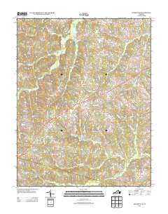 2013 Jetersville2013 Print · USGSJetersville and the surrounding Amelia County countryside are shown here in the early twenty-first century, before recent rural development. Genealogists can trace family-named roads and landmarks near the settlements of Maplewood and Truxillo or along the banks of Beaverpond Cr.
 - 2013 Map of Crewe East, 2013 Print
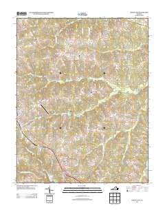 2013 Crewe East2013 Print · USGSNottoway County in the early twenty-first century maintains its rural character and historic crossroads. Genealogists and historians can trace the transition from the town of Crewe to the pastoral settings of Fergusonville and Nottoway Court House.
Showing maps 1-25 of 65
Top cities of Amelia County
Frequently asked questions
- What are the different types of historical maps available for Amelia County?
- What is the oldest map of Amelia County?
- Where can I purchase historical maps of Amelia County for my home or office?
- Where can I download high-res historical maps of Amelia County?
- Are there historical topographic maps available for Amelia County?
- Is there historical aerial imagery available for Amelia County?
- Where are historical maps of Amelia County sourced from?