2000s (21st Century) Maps of Brunswick County, Virginia
Explore 90 historic maps of Brunswick County from the 2000s (21st Century). These maps offer a rare glimpse into what life looked like during the 2000s — showing old roads, neighborhoods, homes, and landmarks that have changed or disappeared over time.
Whether you're researching your family's past, planning a metal detecting trip, or studying how Brunswick County's landscape evolved across the 2000s, these high-resolution maps are a powerful tool for exploring the history of this region.
- Focus on a specific era: All maps on this page are from the 2000s, giving you a focused view of this time period.
- See what’s changed: Compare century-old streets, trails, and buildings to today's modern landscape using overlays and satellite layers.
- Research with precision: Use these maps for genealogy, historical research, land use analysis, or educational projects.
- View, download, or print: Maps are fully viewable online in high resolution, and can be downloaded or printed for your own records.
Start exploring Brunswick County's history through authentic maps from the 2000s. This is your window into the past.
Brunswick County, VA maps
(90)- 2010 Map of La Crosse, 2010 Print
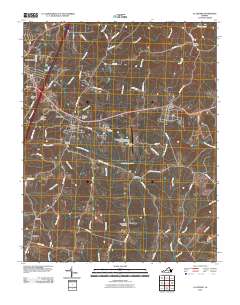 2010 La Crosse2010 Print · USGSThe Virginia Southside towns of South Hill and La Crosse are shown in 2010 as they balance modern transportation and deep-rooted community history. Researchers can locate several family burial grounds, including Bennett Cemetery and Smith Cemetery, alongside landmarks like Mecklenburg-Brunswick Regional Airport.
 - 2010 Map of Kenbridge East, 2010 Print
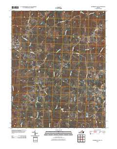 2010 Kenbridge East2010 Print · USGSLunenburg County at the turn of the twenty-first century remains a landscape of quiet crossroads and family land. Genealogists can trace local heritage through Macedonia Cemetery and Wilkinson Cemetery or locate old home places near Bishops Corner.
 - 2010 Map of Blackstone West, 2010 Print
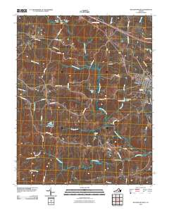 2010 Blackstone West2010 Print · USGSIn the western countryside of Nottoway County during the late 2000s, this area shows a landscape of small dams and historic crossroads. Genealogists and local historians can trace the roads connecting Blackstone to rural settlements like Irby, Murdocks, and Sneads Spring.
 - 2010 Map of Barley, 2010 Print
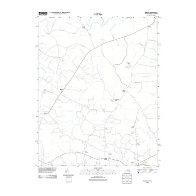 2010 Barley2010 Print · USGSThe rural borderlands of North Carolina and Virginia come into focus at the dawn of the millennium. Genealogists and local historians can trace family roots at Rook Cemetery and Garners Mill, or explore crossroads like Paris Store and Gum Forks.
 - 2010 Map of Warfield, 2010 Print
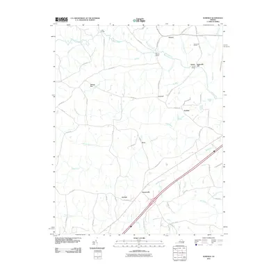 2010 Warfield2010 Print · USGSSouthern Brunswick County appears in the early twenty-first century as a landscape of rural crossroads and river crossings. Genealogists and researchers can locate family-named sites like Baskerville Mill and Harpers, alongside the historic rail and road hub at Warfield.
 - 2010 Map of McKenney, 2010 Print
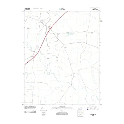 2010 McKenney2010 Print · USGSThe rural landscape of Dinwiddie County comes into focus at the start of the 21st century, centered on the settlement of McKenney. Genealogists and local historians can trace family ties through numerous burial sites like Big Bethel Cemetery, Sapony Cemetery, and Madison Cemetery.
 - 2010 Map of Gasburg, 2010 Print
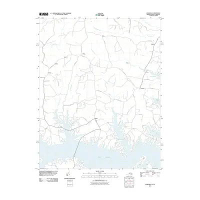 2010 Gasburg2010 Print · USGSThe Virginia and North Carolina borderlands are centered here around the intricate coves of Lake Gaston in the early twenty-first century. Genealogists and local historians can trace family sites at Prospect Cemetery, Clary Cemetery, and the settlement of Gasburg.
 - 2010 Map of Smoky Ordinary, 2010 Print
 2010 Smoky Ordinary2010 Print · USGSBrunswick County’s rural crossroads and winding creeks are documented here in the early twenty-first century. Genealogists and local historians can trace family locations near Poarch Store, Raney Cemetery, and the historic community of Callaville.
 - 2010 Map of Alberta, 2010 Print
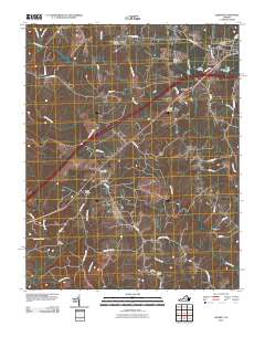 2010 Alberta2010 Print · USGSBrunswick County at the start of the millennium retains its traditional rural character, centered on the crossroads of Alberta and Cochran. Genealogists can locate several family burial grounds including Laffoon Cemetery and Dugger Cemetery, or trace the banks of the Meherrin River.
 - 2010 Map of White Plains, 2010 Print
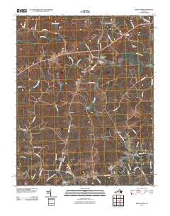 2010 White Plains2010 Print · USGSBrunswick County at the start of the 2010s remains a landscape of historic river crossings and small crossroads settlements. Researchers can locate family-named landmarks and local sites like Hicks Mill, Pennington Bridge, and the Flournoy Cemetery.
 - 2010 Map of Powellton, 2010 Print
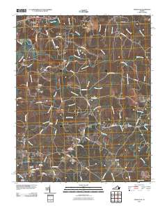 2010 Powellton2010 Print · USGSBrunswick County at the start of the 2010s reveals a landscape of enduring rural settlements and numerous family burial grounds. Researchers can trace ancestral locations at the Sign Rock Cemetery and Hardy Cemetery or locate the historic site of Fort Christanna.
 - 2010 Map of Danieltown, 2010 Print
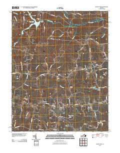 2010 Danieltown2010 Print · USGSBrunswick County in the early twenty-first century remains a landscape of crossroads hamlets and family legacies. Genealogists can trace ancestral ties through numerous burial sites like Bragg Cemetery and Jones Cemetery or locate the old Masons Mill.
 - 2010 Map of Lawrenceville, 2010 Print
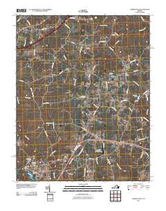 2010 Lawrenceville2010 Print · USGSLawrenceville and the surrounding Southside Virginia countryside are shown here in the early twenty-first century. Genealogists can trace family names through numerous rural burial grounds like Olive Branch Cemetery or explore the settlements of Naptha and Wesson.
 - 2010 Map of Blackstone East, 2010 Print
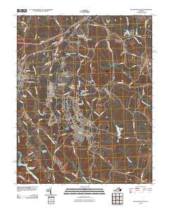 2010 Blackstone East2010 Print · USGSBlackstone and the surrounding Nottoway County landscape are captured here in the early twenty-first century. Researchers can trace the extensive grounds of the Fort Pickett Military Reserve or locate local landmarks like Dominy Corner and the Allen C Perkinson Municipal Airport.
 - 2010 Map of Forksville, 2010 Print
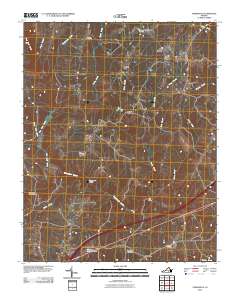 2010 Forksville2010 Print · USGSMecklenburg County at the start of the 2010s remains a landscape of rural hamlets and river crossings along the Meherrin River. Genealogists and local historians can trace family burial sites like Neblett Cemetery or locate old industrial landmarks such as Stones Mill and Union Mill Bridge.
 - 2010 Map of Ante, 2010 Print
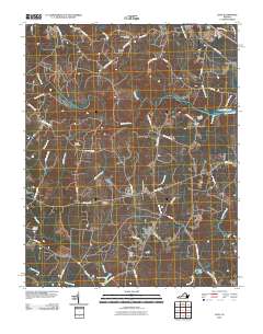 2010 Ante2010 Print · USGSAnte and the surrounding Brunswick County countryside are captured here in the early twenty-first century as a landscape of river bends and quiet crossroads. Researchers can trace family history through several local landmarks like New Hope Zion Cemetery, Webbs Mill, and Harris Crossroads.
 - 2010 Map of South Hill SE, 2010 Print
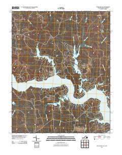 2010 South Hill SE2010 Print · USGSThe Roanoke River corridor in southern Virginia is captured here in the early twenty-first century, showing a landscape reshaped by the rising waters of Lake Gaston. Researchers can trace the modern shoreline and locate rural hubs like Joyceville, Five Forks, and Cedar Grove.
 - 2011 Map of Valentines, 2011 Print
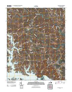 2011 Valentines2011 Print · USGSThe Virginia and North Carolina borderlands come alive in this survey of the Lake Gaston waterfront and its surrounding rural communities. Researchers can trace the development of residential sites like Pea Hill Shores alongside old post offices and crossroads such as Valentines and Triplet.
 - 2013 Map of Warfield, 2013 Print
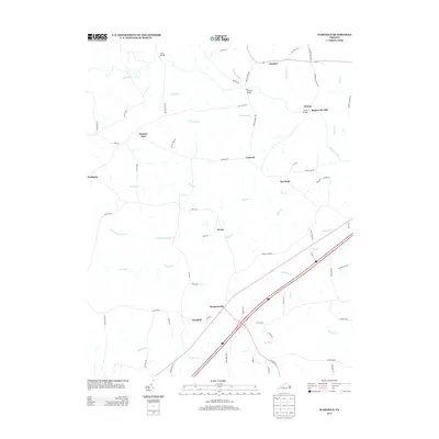 2013 Warfield2013 Print · USGSBrunswick County at the start of the 2010s shows a landscape of long-standing rural communities integrated with modern transportation corridors. Researchers can trace the legacy of local industry and river crossings through Baskerville Mill, Gills Bridge, and the settlement at Sturgeonville.
 - 2013 Map of Valentines, 2013 Print
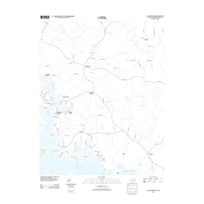 2013 Valentines2013 Print · USGSThe Virginia and North Carolina borderlands come into focus in the early 2010s, centered on the residential growth around Lake Gaston. Researchers can trace the development of waterfront communities like Pea Hill Shores and rural outposts such as Valentines and Henrico.
 - 2013 Map of Kenbridge East, 2013 Print
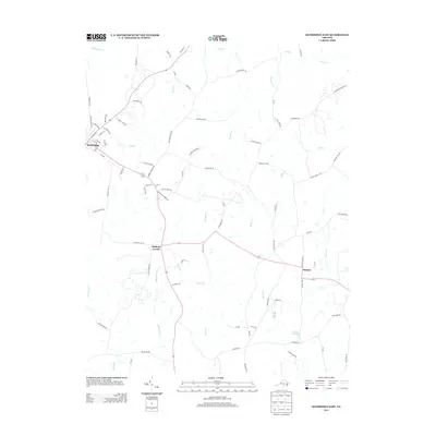 2013 Kenbridge East2013 Print · USGSLunenburg County in the early twenty-first century maintains its rural character through established crossroads and small agricultural communities. Researchers can trace local land patterns and legacy routes near Kenbridge, Bishops Corner, and the waters of Dixons Millpond.
 - 2013 Map of Ante, 2013 Print
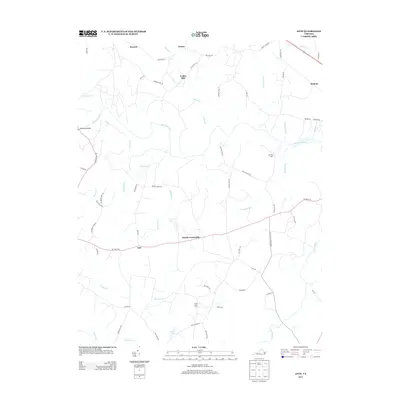 2013 Ante2013 Print · USGSSouthern Brunswick County is documented here in the early twenty-first century, showing a landscape defined by the Meherrin River and historic rural hamlets. Local historians can trace family-named sites and early crossroads such as Webbs Mill, Harris Crossroads, and the unique Dry Bread Rd.
 - 2013 Map of Smoky Ordinary, 2013 Print
 2013 Smoky Ordinary2013 Print · USGSBrunswick County in the early twenty-first century remains a landscape of historic crossroads and winding stream branches. Genealogists and local historians can trace family-named roads and rural hubs like Poarch Store, Callaville, and the uniquely named Smoky Ordinary.
 - 2013 Map of Forksville, 2013 Print
 2013 Forksville2013 Print · USGSMecklenburg County in the early twenty-first century retains its rural character, shaped by the Meherrin River and its many creeks. Researchers can locate historic hubs like Stones Mill and Bacons Fork, or trace river crossings at Union Mill Bridge and Dix Bridge.
 - 2013 Map of Powellton, 2013 Print
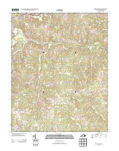 2013 Powellton2013 Print · USGSBrunswick County south of Lawrenceville remains a landscape defined by its river crossings and small crossroad communities in the early twenty-first century. Researchers can trace historic sites like Fort Christanna or locate family landmarks near Powellton and Old Fitzhugh.
Showing maps 1-25 of 90
Top cities of Brunswick County
Frequently asked questions
- What are the different types of historical maps available for Brunswick County?
- What is the oldest map of Brunswick County?
- Where can I purchase historical maps of Brunswick County for my home or office?
- Where can I download high-res historical maps of Brunswick County?
- Are there historical topographic maps available for Brunswick County?
- Is there historical aerial imagery available for Brunswick County?
- Where are historical maps of Brunswick County sourced from?