2000s (21st Century) Maps of Buchanan County, Virginia
Explore 99 historic maps of Buchanan County from the 2000s (21st Century). These maps offer a rare glimpse into what life looked like during the 2000s — showing old roads, neighborhoods, homes, and landmarks that have changed or disappeared over time.
Whether you're researching your family's past, planning a metal detecting trip, or studying how Buchanan County's landscape evolved across the 2000s, these high-resolution maps are a powerful tool for exploring the history of this region.
- Focus on a specific era: All maps on this page are from the 2000s, giving you a focused view of this time period.
- See what’s changed: Compare century-old streets, trails, and buildings to today's modern landscape using overlays and satellite layers.
- Research with precision: Use these maps for genealogy, historical research, land use analysis, or educational projects.
- View, download, or print: Maps are fully viewable online in high resolution, and can be downloaded or printed for your own records.
Start exploring Buchanan County's history through authentic maps from the 2000s. This is your window into the past.
Buchanan County, VA maps
(99)- 2001 Map of Majestic, 2003 Print
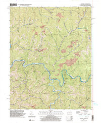 2001 Majestic2003 Print · USGSThe Central Appalachian coalfields come into focus at the turn of the millennium where the TUG FORK separates Kentucky and West Virginia. Genealogists and industrial historians can trace riverside settlements like Vulcan, Devon, and Majestic, alongside the NORFOLK AND WESTERN rail line.
 - 2001 Map of Panther, 2003 Print
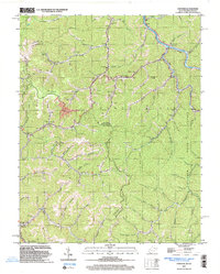 2001 Panther2003 Print · USGSPanther and the Tug river valley are captured here at the turn of the century as coal and rail still define the McDowell County landscape. Genealogists can trace family heritage through dozens of local burial sites including Sullivan Cem and Lester Cem.
 - 2001 Map of War, 2003 Print
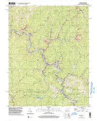 2001 War2003 Print · USGSMcDowell County's mining and mountain communities are captured here just after the turn of the millennium. Trace the industrial and family history of War, Berwind, and Bartley while following old routes along the Dry Fork.
 - 2001 Map of Wharncliffe, 2003 Print
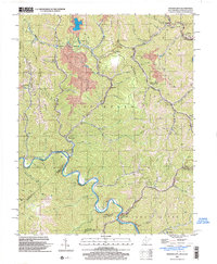 2001 Wharncliffe2003 Print · USGSThe coal country of Mingo County is captured at the turn of the millennium, showing a landscape defined by industrial mines and river-bottom settlements. Genealogists can trace family locations near Wharncliffe, War Eagle, and the Hardy Union Ch.
 - 2010 Map of Jewell Ridge, 2010 Print
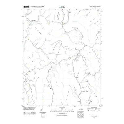 2010 Jewell Ridge2010 Print · USGSThe high ridges and deep hollow of the Tazewell County highlands are captured here in the early twenty-first century. Researchers can trace local lineage through the Company Cemetery and Sawyer Cemetery or locate the Bearwallow Lookout Tower.
 - 2010 Map of Honaker, 2010 Print
 2010 Honaker2010 Print · USGSHonaker and the Clinch River valley are shown in the early twenty-first century as they wind through the ridges of Russell County. Researchers can locate ancestral landmarks like Ball Cemetery, Hickory Junction, and the heights of House And Barn Mountain.
 - 2010 Map of Keen Mountain, 2010 Print
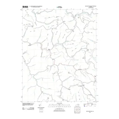 2010 Keen Mountain2010 Print · USGSBuchanan County's deep hollows and steep ridges are captured here during the first decade of the new millennium. Researchers can trace the path of the Levisa Fork to find local landmarks like the Keen Mountain Fire Tower and the mountain settlement of Grimsleyville.
 - 2011 Map of Patterson, 2011 Print
 2011 Patterson2011 Print · USGSBuchanan County's deep hollows and ridgelines are documented here as they appeared in 2011, focusing on the remote settlements of the Appalachian Plateau. Researchers can locate many family burial sites, such as Stacy Cemetery and Compton Cemetery, or trace the winding course of Slate Creek through Matney and Slate.
 - 2011 Map of Panther, 2011 Print
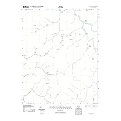 2011 Panther2011 Print · USGSMcDowell County's hollows and ridges come into sharp focus in this 2011 survey of the Panther area. Genealogists can trace family heritage through dozens of burial sites like Sullivan Cemetery and Justice Cemetery, or locate landmarks like the Panther Lookout Tower.
 - 2011 Map of Wharncliffe, 2011 Print
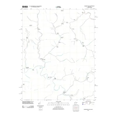 2011 Wharncliffe2011 Print · USGSMingo and Wyoming counties are mapped here in the early twenty-first century as the winding Tug Fork flows past mountain hamlets. Genealogists can trace family names at the Toler Cemetery or locate old community hubs like War Eagle and Wyoming City.
 - 2011 Map of Bradshaw, 2011 Print
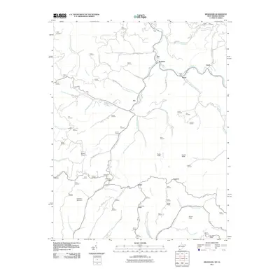 2011 Bradshaw2011 Print · USGSMcDowell County's hollows and ridges come into sharp focus in the early twenty-first century, showing the enduring settlement patterns of southern West Virginia. Genealogists can trace family footprints across dozens of local burial sites like Blankenship Cemetery, Stacy Cemetery, and the Raysal Post Office.
 - 2011 Map of War, 2011 Print
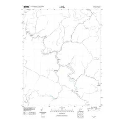 2011 War2011 Print · USGSThe McDowell County coalfields are captured here in the early twenty-first century, showing the enduring layout of mountain hollow settlements. Researchers can trace family history through the Deskins Cemetery or locate old postal hubs like the Caretta Post Office and Canebrake Post Office.
 - 2011 Map of Majestic, 2011 Print
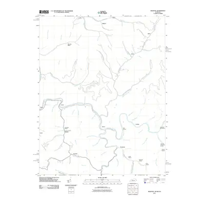 2011 Majestic2011 Print · USGSMingo County is defined by the winding Tug Fork and its coal-rich hollows during the early twenty-first century. Genealogists can locate family landmarks like Chafin Cemetery or trace settlement patterns in Majestic and Thacker Mines.
 - 2011 Map of Amonate, 2011 Print
 2011 Amonate2011 Print · USGSTazewell County's coal-country landscape is documented here in the early twenty-first century, showing the enduring structure of small settlements and mountain commerce. Genealogists and historians can trace community hubs like Vallscreek Post Office, Lamberts Store, and Dunford Village.
 - 2011 Map of Elkhorn City, 2011 Print
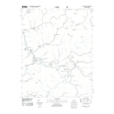 2011 Elkhorn City2011 Print · USGSElkhorn City and the rugged borderlands of Pike County are shown here in the early twenty-first century as the Russell Fork cuts through the mountains. Genealogists can locate family sites like Honey Fork Cemetery and the settlements of Belcher and Dunleary.
 - 2011 Map of Prater, 2011 Print
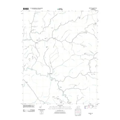 2011 Prater2011 Print · USGSBuchanan County's coal-country landscape is meticulously detailed in this early twenty-first-century survey of the central Appalachians. Genealogists and local historians can trace family roots through the many burial grounds and hollows, including Owens Cemetery, Johnson Flats, and Leemaster.
 - 2011 Map of Hurley, 2011 Print
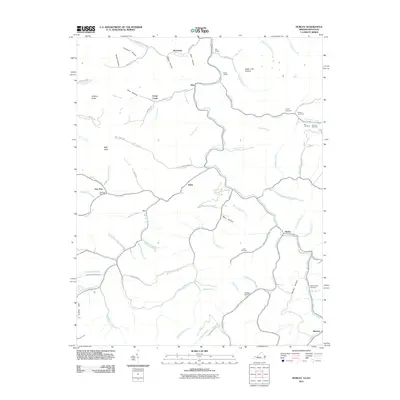 2011 Hurley2011 Print · USGSThe rugged mountains of the Virginia and Kentucky border are mapped here in the early twenty-first century, showing the enduring settlement patterns of Buchanan County. Genealogists can trace family names through the Coleman, Belcher, and Blankenship cemeteries, or locate rural siding like Bill Siding.
 - 2011 Map of Big A Mountain, 2011 Print
 2011 Big A Mountain2011 Print · USGSIn the early twenty-first century, this Russell County landscape remains defined by the winding hollows of Council and Venia. Genealogists can trace family lines across dozens of remote burial sites, including Baldwin Cemetery, Lockhart Cemetery, and Crabtree Cemetery.
 - 2011 Map of Vansant, 2011 Print
 2011 Vansant2011 Print · USGSIn the heart of the Buchanan County coalfields during the early twenty-first century, this map shows a landscape of deep valleys and family cemeteries. Genealogists can locate legacy sites like Looney Cemetery and Baldwin Cemetery near Vansant and the Indian Gap Post Office.
 - 2011 Map of Grundy, 2011 Print
 2011 Grundy2011 Print · USGSBuchanan County in the early 2010s shows a landscape of narrow hollows and river-bend settlements defined by the Appalachian terrain. Genealogists and local historians can trace family locations through Shortridge Cemetery, Looney Cemetery, and the Raitt Tunnel near Roseann.
 - 2011 Map of Harman, 2011 Print
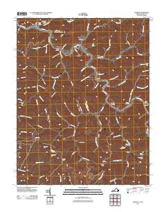 2011 Harman2011 Print · USGSBuchanan County's river valleys and steep hollows are captured here at the start of the 2010s. Genealogists can locate family burial sites like Looney Creek Cemetery and Cantrell Cemetery or trace the settlements of Toonerville and Maxie.
 - 2011 Map of Jamboree, 2011 Print
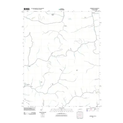 2011 Jamboree2011 Print · USGSThe Pike County coal country is captured here during the early twenty-first century, showing the enduring mountain settlements and hollows. Family researchers can locate Phillips Cemetery, the Steele Post Office, and the site of Rowland Row Camp.
 - 2011 Map of Duty, 2011 Print
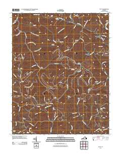 2011 Duty2011 Print · USGSSouthwest Virginia's rugged coal country is captured here in the early twenty-first century, showing a landscape defined by deep hollows and high ridges. Genealogists and local historians can trace dozens of family burial sites like Rasnake Cemetery and Gilbert Cemetery, alongside the engineering of the Sandy Ridge Tunnel.
 - 2013 Map of Jamboree, 2013 Print
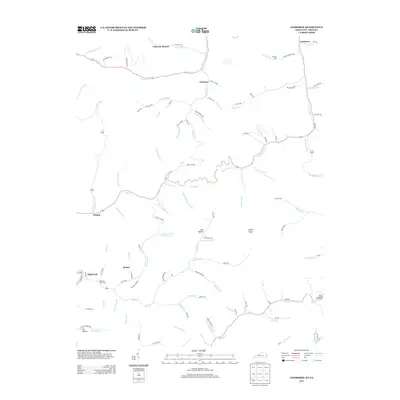 2013 Jamboree2013 Print · USGSPike County's hollows and creek-side settlements are captured here in the early twenty-first century as they continue to follow the winding geography of the hills. Researchers can locate family landmarks and rural infrastructure from Rowland Row Camp and Phillips Cem to the post office at Fedscreek.
 - 2013 Map of Majestic, 2013 Print
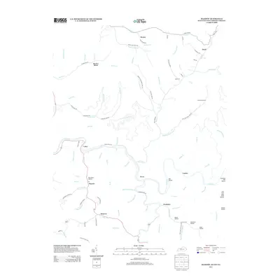 2013 Majestic2013 Print · USGSThe Tug Fork river valley and the coal-country borderlands of West Virginia and Kentucky are captured here in the early twenty-first century. Researchers can trace family history through sites like Thacker Mines, Italy Hollow Cem, and the community of Majestic.
Showing maps 1-25 of 99
Top cities of Buchanan County
Frequently asked questions
- What are the different types of historical maps available for Buchanan County?
- What is the oldest map of Buchanan County?
- Where can I purchase historical maps of Buchanan County for my home or office?
- Where can I download high-res historical maps of Buchanan County?
- Are there historical topographic maps available for Buchanan County?
- Is there historical aerial imagery available for Buchanan County?
- Where are historical maps of Buchanan County sourced from?