2000s (21st Century) Maps of Craig County, Virginia
Explore 65 historic maps of Craig County from the 2000s (21st Century). These maps offer a rare glimpse into what life looked like during the 2000s — showing old roads, neighborhoods, homes, and landmarks that have changed or disappeared over time.
Whether you're researching your family's past, planning a metal detecting trip, or studying how Craig County's landscape evolved across the 2000s, these high-resolution maps are a powerful tool for exploring the history of this region.
- Focus on a specific era: All maps on this page are from the 2000s, giving you a focused view of this time period.
- See what’s changed: Compare century-old streets, trails, and buildings to today's modern landscape using overlays and satellite layers.
- Research with precision: Use these maps for genealogy, historical research, land use analysis, or educational projects.
- View, download, or print: Maps are fully viewable online in high resolution, and can be downloaded or printed for your own records.
Start exploring Craig County's history through authentic maps from the 2000s. This is your window into the past.
Craig County, VA maps
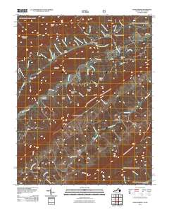
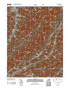
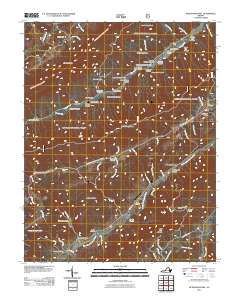
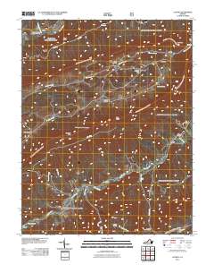
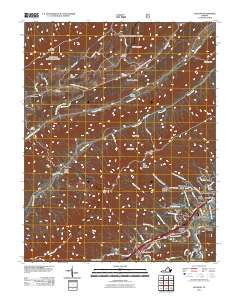
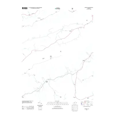
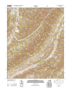
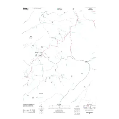
(65)- 2011 Map of Potts Creek, 2011 Print
 2011 Potts Creek2011 Print · USGSCovers Craig County, including Potts Creek, Alleghany County, and other nearby areas
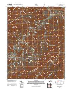
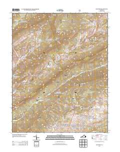
 - 2011 Map of Craig Springs, 2011 Print
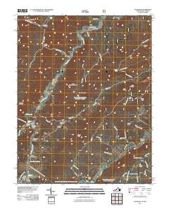
 2011 Craig Springs2011 Print · USGSCovers Craig County, including Sinking Creek, Craig Springs, and other nearby areas
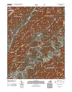
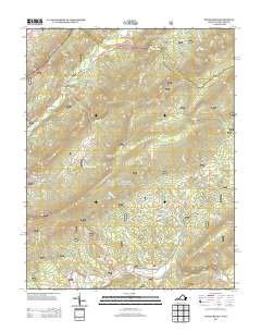
 - 2011 Map of Waiteville, 2011 Print
 2011 Waiteville2011 Print · USGSCovers Craig County, including Maggie, Waiteville, and other nearby areas
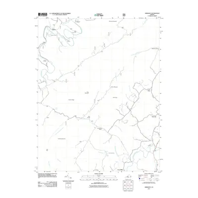
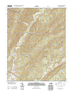
 - 2011 Map of Paint Bank, 2011 Print
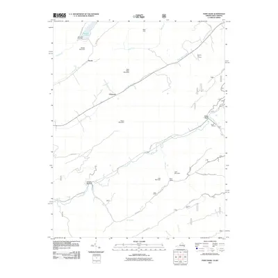 2011 Paint Bank2011 Print · USGSCovers Craig County, including Roxalia, Centennial, and other nearby areas
 - 2011 Map of Alleghany, 2011 Print
 2011 Alleghany2011 Print · USGSCovers Craig County, including Sweet Springs, Sweet Chalybeate, and other nearby areas
 - 2011 Map of Newport, 2011 Print
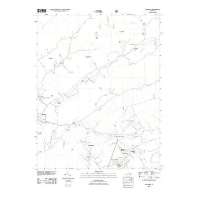 2011 Newport2011 Print · USGSCovers Craig County, including Blacksburg, Huffman, and other nearby areas
 - 2011 Map of Catawba, 2011 Print
 2011 Catawba2011 Print · USGSCovers Craig County, including New Castle, Medley Camp, and other nearby areas
 - 2011 Map of McDonalds Mill, 2011 Print
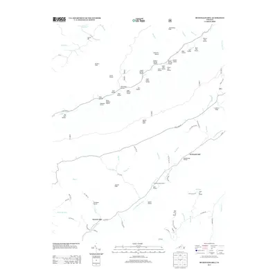
 2011 McDonalds Mill2011 Print · USGSCovers Craig County, including McDonalds Mill, Bennetts Mill, and other nearby areas
 - 2011 Map of Looney, 2011 Print
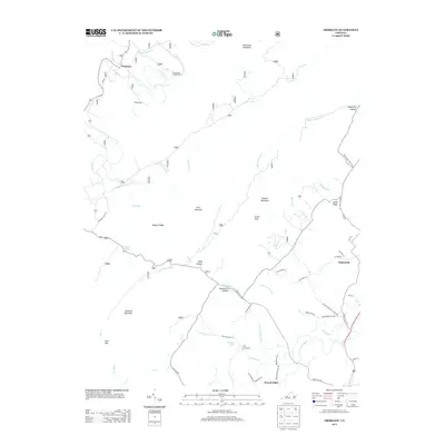
 2011 Looney2011 Print · USGSCovers Craig County, including Abbott, Webbs Mill, and other nearby areas
 - 2011 Map of Glenvar, 2011 Print
 2011 Glenvar2011 Print · USGSCovers Craig County, including Jones, Bear Rock, and other nearby areas
 - 2011 Map of Jordan Mines, 2011 Print
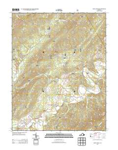
 2011 Jordan Mines2011 Print · USGSCovers Craig County, including Clifdale, Jordan Mines, and other nearby areas
 - 2011 Map of New Castle, 2011 Print
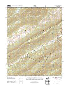
 2011 New Castle2011 Print · USGSCovers Craig County, including New Castle, Barbours Creek, and other nearby areas
 - 2011 Map of Oriskany, 2011 Print
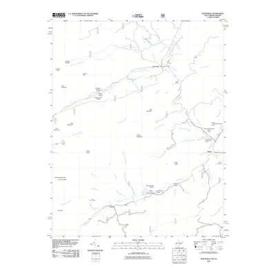
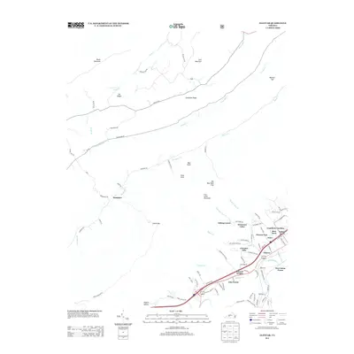
 2011 Oriskany2011 Print · USGSCovers Craig County, including Fincastle, Flatwoods, and other nearby areas
 - 2013 Map of Looney, 2013 Print
 2013 Looney2013 Print · USGSCovers Craig County, including Abbott, Webbs Mill, and other nearby areas
 - 2013 Map of Glenvar, 2013 Print
 2013 Glenvar2013 Print · USGSCovers Craig County, including Jones, Bear Rock, and other nearby areas
 - 2013 Map of McDonalds Mill, 2013 Print
 2013 McDonalds Mill2013 Print · USGSCovers Craig County, including McDonalds Mill, Bennetts Mill, and other nearby areas
 - 2013 Map of Craig Springs, 2013 Print
 2013 Craig Springs2013 Print · USGSCovers Craig County, including Sinking Creek, Craig Springs, and other nearby areas
 - 2013 Map of Catawba, 2013 Print
 2013 Catawba2013 Print · USGSCovers Craig County, including New Castle, Medley Camp, and other nearby areas
 - 2013 Map of Newport, 2013 Print
 2013 Newport2013 Print · USGSCovers Craig County, including Blacksburg, Huffman, and other nearby areas
 - 2013 Map of Potts Creek, 2013 Print
 2013 Potts Creek2013 Print · USGSCovers Craig County, including Potts Creek, Alleghany County, and other nearby areas
 - 2013 Map of Alleghany, 2013 Print
 2013 Alleghany2013 Print · USGSCovers Craig County, including Sweet Springs, Sweet Chalybeate, and other nearby areas
 - 2013 Map of Jordan Mines, 2013 Print
 2013 Jordan Mines2013 Print · USGSCovers Craig County, including Clifdale, Jordan Mines, and other nearby areas
 - 2013 Map of New Castle, 2013 Print
 2013 New Castle2013 Print · USGSCovers Craig County, including New Castle, Barbours Creek, and other nearby areas
 - 2013 Map of Oriskany, 2013 Print
 2013 Oriskany2013 Print · USGSCovers Craig County, including Fincastle, Flatwoods, and other nearby areas
 - 2013 Map of Paint Bank, 2013 Print
 2013 Paint Bank2013 Print · USGSCovers Craig County, including Roxalia, Centennial, and other nearby areas
Showing maps 1-25 of 65
Top cities of Craig County
Frequently asked questions
- What are the different types of historical maps available for Craig County?
- What is the oldest map of Craig County?
- Where can I purchase historical maps of Craig County for my home or office?
- Where can I download high-res historical maps of Craig County?
- Are there historical topographic maps available for Craig County?
- Is there historical aerial imagery available for Craig County?
- Where are historical maps of Craig County sourced from?