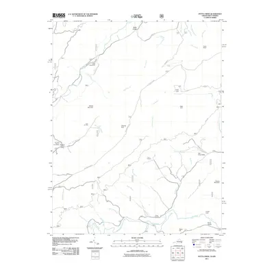
2011 Map of Potts Creek
USGS Topo · Published 2011About this map
Paint Bank National Fish Hatchery anchors the western edge of this corridor, where the headwaters of Potts Creek and Johns Creek carve deep valleys through the Jefferson Nat'l Forest. The landscape is defined by its dramatic ridges and family-named hollows, showing a traditional mountain settlement pattern where roads like Potts Mountain Rd follow the narrow flatlands between steep rises like Middle Mountain and Nutters Mountain. For genealogists and local historians, the map identifies several remote burial sites, including Ruble Cemetery, Paxton Cemetery, and Nutter Cemetery, which remain preserved within the national forest boundaries. From the high vista of Lovers Leap to the riverside Steel Bridge Campground, the survey captures a rural Appalachian environment where small communities like Paint Bank and Potts Cove have persisted alongside federally managed timber and wildlife lands.
Find a feature on this map
44 named features on this map. Tap any name to fly to it.
Don’t see what you’re looking for? This feature index may not catch every label — zoom into the map to look around manually.
Map Details
Editions of this 2011 Potts Creek Map
This is the sole edition of this map. No revisions or reprints were ever made.
Other maps of this area

1887 · Lewisburg
USGS Topo · 1:125,000

1890 · Christiansburg
USGS Topo · 1:125,000

1891 · Lewisburg
USGS Topo · 1:125,000

1921 · Ronceverte
USGS Topo · 1:48,000

1923 · Ronceverte
USGS Topo · 1:62,500

1923 · Waiteville
USGS Topo · 1:62,500

1929 · Salem
USGS Topo · 1:48,000

1931 · Waiteville
USGS Topo · 1:48,000

1932 · Salem
USGS Topo · 1:62,500

1944 · Waiteville
USGS Topo · 1:62,500