2010s Maps of Craig County, Virginia
Explore 52 historic maps of Craig County from the 2010s. These maps offer a rare glimpse into what life looked like during the 2010s — showing old roads, neighborhoods, homes, and landmarks that have changed or disappeared over time.
Whether you're researching your family's past, planning a metal detecting trip, or studying how Craig County's landscape evolved across the 2010s, these high-resolution maps are a powerful tool for exploring the history of this region.
- Focus on a specific era: All maps on this page are from the 2010s, giving you a focused view of this time period.
- See what’s changed: Compare century-old streets, trails, and buildings to today's modern landscape using overlays and satellite layers.
- Research with precision: Use these maps for genealogy, historical research, land use analysis, or educational projects.
- View, download, or print: Maps are fully viewable online in high resolution, and can be downloaded or printed for your own records.
Start exploring Craig County's history through authentic maps from the 2010s. This is your window into the past.
Craig County, VA maps
(52)- 2011 Map of Potts Creek, 2011 Print
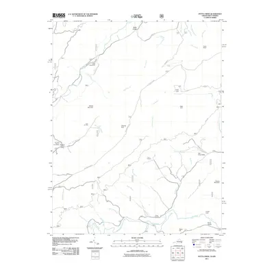 2011 Potts Creek2011 Print · USGSThe valleys of Alleghany County are captured here just after the turn of the millennium, showing a landscape defined by the Jefferson Nat'l Forest. Researchers can locate family landmarks like Paxton Cemetery, Ruble Cemetery, and the Paint Bank National Fish Hatchery.
 - 2011 Map of Craig Springs, 2011 Print
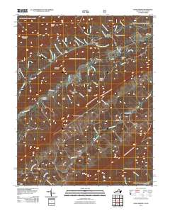 2011 Craig Springs2011 Print · USGSThe mountain valleys of the Virginia-West Virginia border are captured here in the early twenty-first century as agricultural traditions persist. Genealogists can trace the rural communities of Simmonsville and Gravel Hill, or locate the County Farm Cemetery and Valley Mill.
 - 2011 Map of Waiteville, 2011 Print
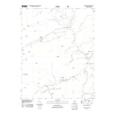 2011 Waiteville2011 Print · USGSThe West Virginia and Virginia borderlands come into focus in the early twenty-first century, showing a landscape of high ridges and narrow creek valleys. Genealogists and hikers can trace sites like the New Zion Cemetery, the Waiteville Post Office, and the War Spur Shelter.
 - 2011 Map of Paint Bank, 2011 Print
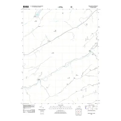 2011 Paint Bank2011 Print · USGSMonroe County and the Virginia borderlands are captured here in the early twenty-first century, showing a landscape of high ridges and valley settlements. Genealogists can locate family sites at Mountain View Cemetery and trace the rural reaches of Paint Bank and Centennial.
 - 2011 Map of Alleghany, 2011 Print
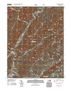 2011 Alleghany2011 Print · USGSThe borderlands of Monroe County and the Alleghany region are captured here in the early twenty-first century, centered on the historic mineral water sites. Researchers can locate legacy sites like Old Sweet Springs, Sweet Chalybeate, and the Lewis Tunnel Cemetery.
 - 2011 Map of Newport, 2011 Print
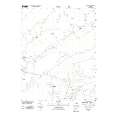 2011 Newport2011 Print · USGSThe rural communities north of Blacksburg are captured here during a period of modern residential growth amidst traditional Appalachian gaps. Researchers can locate several family burial grounds like Hale Cemetery and Clover Hollow Cemetery, as well as the landmark Clover Hollow Sinking Creek Covered Bridge.
 - 2011 Map of Catawba, 2011 Print
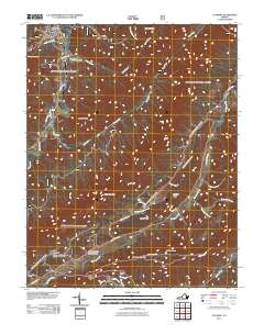 2011 Catawba2011 Print · USGSNew Castle and the Catawba Valley are captured here just after the turn of the millennium, showing a landscape defined by steep ridges and rural settlements. Researchers can locate family landmarks such as Morgan Cemetery or trace the path of the Appalachian Trl past McAfee Knob.
 - 2011 Map of McDonalds Mill, 2011 Print
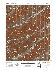 2011 McDonalds Mill2011 Print · USGSMontgomery County, Virginia, is shown here as it appeared in 2011, detailing a rural landscape defined by the North Fork Roanoke River and Craig Creek. Researchers can trace local history through sites like McDonalds Mill, Bennetts Mill, and family burial grounds including Alls Cemetery.
 - 2011 Map of Looney, 2011 Print
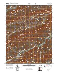 2011 Looney2011 Print · USGSThe Virginia mountains near Abbott and Looney are captured here in the early twenty-first century, showing a landscape defined by deep coves and ridge-line gaps. Genealogists can trace family heritage through numerous burial sites like Leffel Cemetery or Brickey Cemetery and find landmarks like Webbs Mill.
 - 2011 Map of Glenvar, 2011 Print
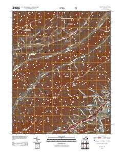 2011 Glenvar2011 Print · USGSRoanoke County's valley floor and surrounding ridges are captured here in the early twenty-first century, showing the intersection of mountain terrain and growing residential communities. Researchers can trace family history through numerous burial sites like Johns Cemetery and Spessard Cemetery or locate homes in Talking Leaves and Wabun.
 - 2011 Map of Jordan Mines, 2011 Print
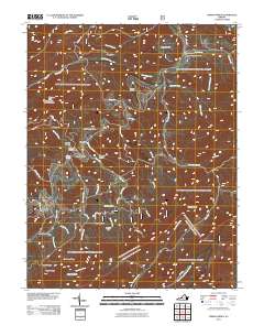 2011 Jordan Mines2011 Print · USGSAlleghany County high country is documented here at the start of the 2010s, showing a landscape defined by industrial history and forest management. Genealogists and hikers can locate the Morning Knob Fire Lookout Tower and old settlements like Jordan Mines and Boiling Spring.
 - 2011 Map of New Castle, 2011 Print
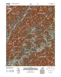 2011 New Castle2011 Print · USGSVirginia's valley ridges near New Castle appear in this 2011 study of the surrounding mountain gaps and creek bottoms. Trace local history at Virginia Mineral Springs, the old Fenwick Mine, and the winding settlements along Barbours Creek.
 - 2011 Map of Oriskany, 2011 Print
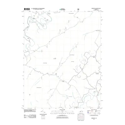 2011 Oriskany2011 Print · USGSOriskany and the surrounding ridges of Botetourt County appear in this recent survey of Virginia's mountain valleys. Researchers can locate family burial sites like Peck Cemetery and Crawford Cemetery or trace old water-powered locations at Howell Mills.
 - 2013 Map of Looney, 2013 Print
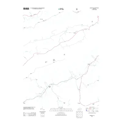 2013 Looney2013 Print · USGSThe mountain valleys of Craig County are captured here in the early twenty-first century, showing the enduring rural layout of the Blue Ridge. Researchers can trace the heritage of Webbs Mill, locate the Dragons Tooth Trailhead, or find the secluded Murder Hole.
 - 2013 Map of Glenvar, 2013 Print
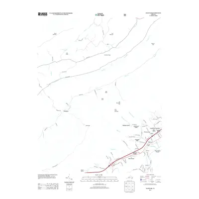 2013 Glenvar2013 Print · USGSRoanoke County in the early twenty-first century reveals a landscape where suburban growth meets the Appalachian ridges. Genealogists and local historians can trace residential pockets like Bradshaw, Jones, and the areas around Fort Lewis Mountain.
 - 2013 Map of McDonalds Mill, 2013 Print
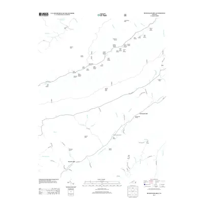 2013 McDonalds Mill2013 Print · USGSMontgomery County’s high country and the N Fork Roanoke River valley are shown here in the early twenty-first century. Researchers can trace land patterns and family landmarks through numerous named hollows and sites like McDonalds Mill and Acre of Rocks.
 - 2013 Map of Craig Springs, 2013 Print
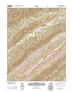 2013 Craig Springs2013 Print · USGSThe Virginia and West Virginia borderlands are documented here in the early twenty-first century, showing a landscape of high ridges and narrow creek valleys. Genealogists and hikers can trace old routes near Craig Springs, Simmonsville, and the landmark Blue Healing Springs.
 - 2013 Map of Catawba, 2013 Print
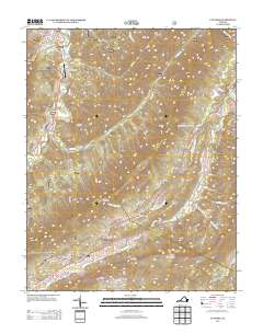 2013 Catawba2013 Print · USGSThe northern reaches of the Roanoke Valley and the rugged ridges of Craig County come into focus in this early twenty-first-century survey. Local historians can trace family land via Moses Family Rd, find the location of Roanoke Red Sulphur Springs, or follow the Appalachian Trl to McAfee Knob.
 - 2013 Map of Newport, 2013 Print
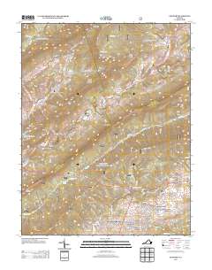 2013 Newport2013 Print · USGSVirginia's mountain ridges and valley settlements are captured here in the early twenty-first century as the landscape shifts from rural to residential. Genealogists and hikers can trace old family locales and landmarks from the Sinking Creek Covered Bridge and Huffman to the quiet waters of Pandapas Pond.
 - 2013 Map of Potts Creek, 2013 Print
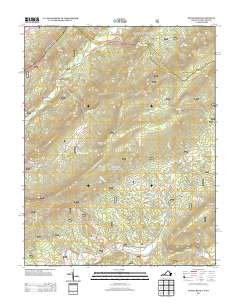 2013 Potts Creek2013 Print · USGSThe Virginia and West Virginia borderlands appear in great detail during the early 2010s, showing a landscape defined by steep ridges and narrow valleys. Researchers can trace the geography of Potts Creek, locate the Paint Bank National Fish Hatchery, and find landmarks like Lovers Leap or Potts Cove.
 - 2013 Map of Alleghany, 2013 Print
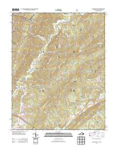 2013 Alleghany2013 Print · USGSThe mineral springs and mountain gaps of the Virginia-West Virginia border are detailed here as they appeared in the early 2010s. Researchers can locate long-standing communities like Sweet Springs and Earlehurst or trace the routes of Potts Creek and Lewis Tunnel.
 - 2013 Map of Jordan Mines, 2013 Print
 2013 Jordan Mines2013 Print · USGSAlleghany County's mountain hollows and mining history are clearly visible in this 2013 survey of the Virginia highlands. Researchers can trace local landmarks like Jordan Mines, the Morning Knob Fire Lookout Tower, and the unique geological features at The Sinks.
 - 2013 Map of New Castle, 2013 Print
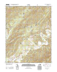 2013 New Castle2013 Print · USGSThe Craig County backcountry is shown in the early twenty-first century, centered on the historic crossroads at New Castle. Researchers can trace old mountain hamlets and recreation sites like Virginia Mineral Springs, Barbours Creek, and the Fenwick Mines Campground.
 - 2013 Map of Oriskany, 2013 Print
 2013 Oriskany2013 Print · USGSBotetourt County settlements and mountain ridges are shown here in the early twenty-first century as they follow the ancient drainage of the Catawba and Craig Creeks. Genealogists can trace family landmarks and local sites like Howell Mills, Oriskany, and Poorhouse Hollow.
 - 2013 Map of Paint Bank, 2013 Print
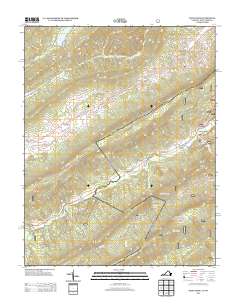 2013 Paint Bank2013 Print · USGSThe Virginia and West Virginia borderlands are captured here in the early twenty-first century, showing a landscape of high ridges and isolated valleys. Researchers can locate family-named landmarks like Charles Patton Spring and historic sites such as Sweet Springs Church and Pine Grove Church.
Showing maps 1-25 of 52
Top cities of Craig County
Frequently asked questions
- What are the different types of historical maps available for Craig County?
- What is the oldest map of Craig County?
- Where can I purchase historical maps of Craig County for my home or office?
- Where can I download high-res historical maps of Craig County?
- Are there historical topographic maps available for Craig County?
- Is there historical aerial imagery available for Craig County?
- Where are historical maps of Craig County sourced from?