2000s (21st Century) Maps of Dickenson County, Virginia
Explore 70 historic maps of Dickenson County from the 2000s (21st Century). These maps offer a rare glimpse into what life looked like during the 2000s — showing old roads, neighborhoods, homes, and landmarks that have changed or disappeared over time.
Whether you're researching your family's past, planning a metal detecting trip, or studying how Dickenson County's landscape evolved across the 2000s, these high-resolution maps are a powerful tool for exploring the history of this region.
- Focus on a specific era: All maps on this page are from the 2000s, giving you a focused view of this time period.
- See what’s changed: Compare century-old streets, trails, and buildings to today's modern landscape using overlays and satellite layers.
- Research with precision: Use these maps for genealogy, historical research, land use analysis, or educational projects.
- View, download, or print: Maps are fully viewable online in high resolution, and can be downloaded or printed for your own records.
Start exploring Dickenson County's history through authentic maps from the 2000s. This is your window into the past.
Dickenson County, VA maps
(70)- 2011 Map of Haysi, 2011 Print
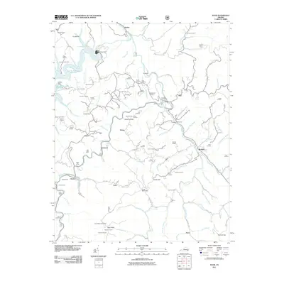 2011 Haysi2011 Print · USGSDickenson County is shown here in the early twenty-first century as a landscape of river-carved ridges and heavy rail engineering. You can trace family heritage at Stephen Cemetery or Arlington Cemetery, and locate rail landmarks like Squirrel Camp Tunnel and the W Flannagan Dam.
 - 2011 Map of Hellier, 2011 Print
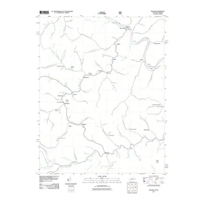 2011 Hellier2011 Print · USGSCoal mining communities and family homesteads fill these Appalachian valleys in the early 2010s. Trace the industrial landscape from the Allegheny Mine to the mountain settlements of Hellier and Ashcamp.
 - 2011 Map of Elkhorn City, 2011 Print
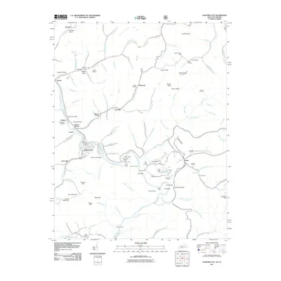 2011 Elkhorn City2011 Print · USGSElkhorn City and the rugged borderlands of Pike County are shown here in the early twenty-first century as the Russell Fork cuts through the mountains. Genealogists can locate family sites like Honey Fork Cemetery and the settlements of Belcher and Dunleary.
 - 2011 Map of Clintwood, 2011 Print
 2011 Clintwood2011 Print · USGSClintwood and the surrounding Dickenson County ridges are shown here just after the first decade of the millennium. Researchers can trace deep family roots through numerous mountain burial sites like Dutton Cemetery or explore the massive reach of the John W. Flannagan Reservoir.
 - 2011 Map of Jenkins East, 2011 Print
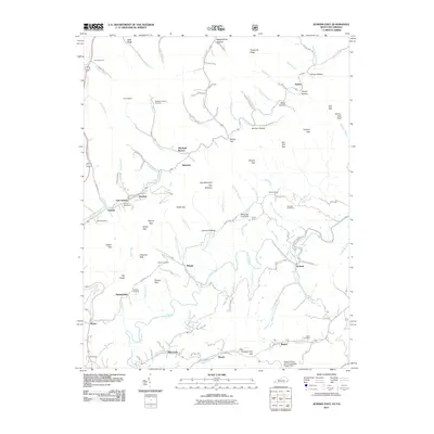 2011 Jenkins East2011 Print · USGSThe coal country of eastern Kentucky and western Virginia is captured here in the early twenty-first century, showing the tight-knit hollows near East Jenkins. Genealogists and local historians can trace family sites like Potter Cemetery or the historic Hamilton Chapel along Mill Creek.
 - 2011 Map of Coeburn, 2011 Print
 2011 Coeburn2011 Print · USGSWise County's high ridges and coal-country hollows are mapped here during the early twenty-first century. Genealogists and researchers can trace dozens of family cemeteries and industrial landmarks, including the Little Tom Tunnel, Toms Creek Dam, and Stallard Cemetery.
 - 2011 Map of Carbo, 2011 Print
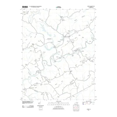 2011 Carbo2011 Print · USGSThe Clinch River valley near Cleveland reveals a landscape of industrial coal operations and historic family settlements. Genealogists and historians can trace numerous remote burial grounds like Gose Cemetery and landmarks such as Jesses Mill.
 - 2011 Map of Pound, 2011 Print
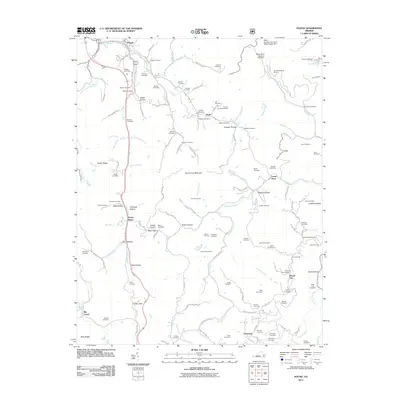 2011 Pound2011 Print · USGSThe town of Pound and the surrounding Virginia hollows are shown in detail during the early twenty-first century. Family history researchers can trace dozens of named burial sites and small settlements, including Peaks Store, Clinchfield Moss Mines, and the Hamilton Cemetery.
 - 2011 Map of Saint Paul, 2011 Print
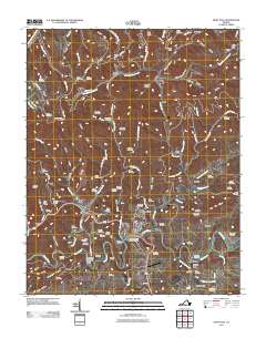 2011 Saint Paul2011 Print · USGSSouthwest Virginia's rugged river country comes into focus in this recent survey of the Clinch River valley and its surrounding ridges. Researchers can trace historic family burial sites like McCoy Cemetery or explore the rail-and-river geography of Saint Paul and the milling site at Bickley Mill.
 - 2011 Map of Prater, 2011 Print
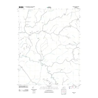 2011 Prater2011 Print · USGSBuchanan County's coal-country landscape is meticulously detailed in this early twenty-first-century survey of the central Appalachians. Genealogists and local historians can trace family roots through the many burial grounds and hollows, including Owens Cemetery, Johnson Flats, and Leemaster.
 - 2011 Map of Caney Ridge, 2011 Print
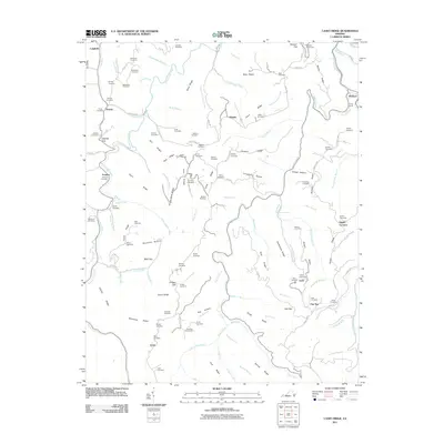 2011 Caney Ridge2011 Print · USGSThe ridges of Dickenson County appear in high detail in the early 21st century, showing a landscape defined by family history and coal-country infrastructure. Genealogists can locate dozens of burial grounds like Trivitt Cemetery and Large Cemetery near Darwin.
 - 2011 Map of Nora, 2011 Print
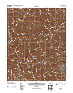 2011 Nora2011 Print · USGSNear the turn of the decade, the ridges of Dickenson County remained a world of deep hollows and family-named landmarks. Genealogists and historians can trace lineage through dozens of hillside sites like Rasnake Cemetery or locate the portals of the Buffalo Tunnel.
 - 2011 Map of Harman, 2011 Print
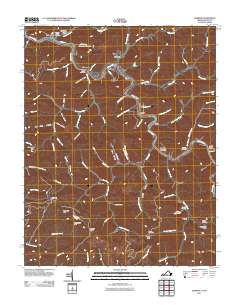 2011 Harman2011 Print · USGSBuchanan County's river valleys and steep hollows are captured here at the start of the 2010s. Genealogists can locate family burial sites like Looney Creek Cemetery and Cantrell Cemetery or trace the settlements of Toonerville and Maxie.
 - 2011 Map of Duty, 2011 Print
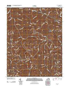 2011 Duty2011 Print · USGSSouthwest Virginia's rugged coal country is captured here in the early twenty-first century, showing a landscape defined by deep hollows and high ridges. Genealogists and local historians can trace dozens of family burial sites like Rasnake Cemetery and Gilbert Cemetery, alongside the engineering of the Sandy Ridge Tunnel.
 - 2013 Map of Jenkins East, 2013 Print
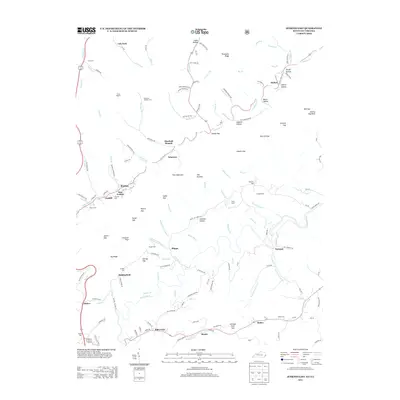 2013 Jenkins East2013 Print · USGSLetcher County's steep ridges and coal-country hollows are shown here in the early twenty-first century, spanning the border between Kentucky and Virginia. Genealogists can locate family landmarks like Pebelton Johnson Cem and Haddon Cem or trace settlements at East Jenkins and Mill Creek.
 - 2013 Map of Elkhorn City, 2013 Print
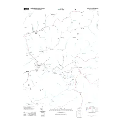 2013 Elkhorn City2013 Print · USGSElkhorn City and the surrounding Pike County highlands are shown here in the early twenty-first century as the railroad remains central to the mountain landscape. Researchers can trace family history at Honey Fork Cem or explore the rugged landmarks of The Breaks and Lovers Leap.
 - 2013 Map of Hellier, 2013 Print
 2013 Hellier2013 Print · USGSThe coal-town landscapes of Pike County are captured here in the early twenty-first century. Researchers can trace family roots through numerous sites like Martha Johnson Cem and Ratliff Cem or locate homes in Hellier, Ashcamp, and Lookout.
 - 2013 Map of Coeburn, 2013 Print
 2013 Coeburn2013 Print · USGSCoeburn and the surrounding coalfields of Wise County are shown here in the early twenty-first century as the rail and ridge-line communities continue to evolve. Genealogists can trace family footprints in Maytown, Herald, and Crab Orchard or locate the historic Little Tom Tunnel.
 - 2013 Map of Saint Paul, 2013 Print
 2013 Saint Paul2013 Print · USGSThe Clinch River valley and its surrounding coal-country ridges come into focus in this early twenty-first-century survey. You can trace the path of the CSX RR through several major tunnels and locate historic landmarks like Bickley Mill, Saint Paul, and Dante.
 - 2013 Map of Carbo, 2013 Print
 2013 Carbo2013 Print · USGSRussell County's river-bound landscape is documented here in the early twenty-first century as the Clinch River winds past Cleveland. Genealogists and local historians can trace family-named sites like Jessees Mill, Counts, and Dickenson Corner.
 - 2013 Map of Caney Ridge, 2013 Print
 2013 Caney Ridge2013 Print · USGSThe hills of Dickenson County appear here in the early twenty-first century, showing the winding ridges and hollows of the Appalachian Plateau. Genealogists can trace family-named sites like Adkins Ridge and Bill Ridge or locate small settlements such as Darwin and Omaha.
 - 2013 Map of Harman, 2013 Print
 2013 Harman2013 Print · USGSThe Levisa Fork region of Buchanan County is captured here in the early twenty-first century, showing the dense network of hollows and gaps that define the area. Researchers can trace local landmarks like Harman Junction, Convict Hollow, and Hoot Owl Gap.
 - 2013 Map of Haysi, 2013 Print
 2013 Haysi2013 Print · USGSIn the heart of the Cumberland Plateau during the early twenty-first century, this map shows a landscape defined by deep river valleys and heavy rail infrastructure. Genealogists and industrial historians can trace the paths of the Clinchco and Haysi settlements, alongside numerous rail tunnels like Pettit Tunnel and Perkins Tunnel.
 - 2013 Map of Clintwood, 2013 Print
 2013 Clintwood2013 Print · USGSThe Dickenson County highlands in the early twenty-first century are defined by the winding Pound River and the regional hub of Clintwood. Researchers can trace local lineage through numerous named hollows and landmarks like the Keel Lookout Tower and Skeetrock.
 - 2013 Map of Pound, 2013 Print
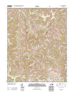 2013 Pound2013 Print · USGSThe town of Pound and its surrounding mountain hollows are shown in detail during the early twenty-first century. Genealogists and local historians can trace family-named landmarks like Cavenger Hollow, Baker Hollow, and established centers such as Lanes Store.
Showing maps 1-25 of 70
Top cities of Dickenson County
Frequently asked questions
- What are the different types of historical maps available for Dickenson County?
- What is the oldest map of Dickenson County?
- Where can I purchase historical maps of Dickenson County for my home or office?
- Where can I download high-res historical maps of Dickenson County?
- Are there historical topographic maps available for Dickenson County?
- Is there historical aerial imagery available for Dickenson County?
- Where are historical maps of Dickenson County sourced from?