2010s Maps of Giles County, Virginia
Explore 60 historic maps of Giles County from the 2010s. These maps offer a rare glimpse into what life looked like during the 2010s — showing old roads, neighborhoods, homes, and landmarks that have changed or disappeared over time.
Whether you're researching your family's past, planning a metal detecting trip, or studying how Giles County's landscape evolved across the 2010s, these high-resolution maps are a powerful tool for exploring the history of this region.
- Focus on a specific era: All maps on this page are from the 2010s, giving you a focused view of this time period.
- See what’s changed: Compare century-old streets, trails, and buildings to today's modern landscape using overlays and satellite layers.
- Research with precision: Use these maps for genealogy, historical research, land use analysis, or educational projects.
- View, download, or print: Maps are fully viewable online in high resolution, and can be downloaded or printed for your own records.
Start exploring Giles County's history through authentic maps from the 2010s. This is your window into the past.
Giles County, VA maps
(60)- 2011 Map of Lerona, 2011 Print
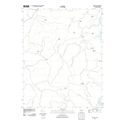 2011 Lerona2011 Print · USGSMercer County at the start of the 2010s shows a landscape of ridge-top settlements and winding mountain roads. Researchers can trace family history at Cashs Hill Cemetery and explore old transport routes like the Red Sulphur Turn Pike near Lerona.
 - 2011 Map of Princeton, 2011 Print
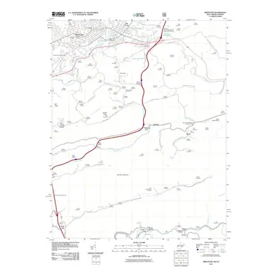 2011 Princeton2011 Print · USGSThe city of Princeton and the surrounding Mercer County ridges are captured here during the first decade of the 2000s. Genealogists and local historians can trace family ties through dozens of small cemeteries and rural settlements like Stumpy Bottom, Ingleside, and Lilly Grove.
 - 2011 Map of Interior, 2011 Print
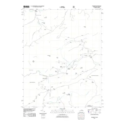 2011 Interior2011 Print · USGSThe West Virginia and Virginia borderlands come into focus in the early 2000s as a haven for hikers and conservationists. You can trace the Appalachian Trl past Wind Rock or locate ancestral family plots at Ballard-Harvey Cemetery and Fortner Cemetery.
 - 2011 Map of Lindside, 2011 Print
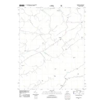 2011 Lindside2011 Print · USGSMonroe County at the turn of the decade reveals a landscape of high ridges and family-centered rural communities. Genealogists can trace family heritage through local landmarks like Broyles Cemetery, the Lindside Post Office, and Swope Cemetery.
 - 2011 Map of Peterstown, 2011 Print
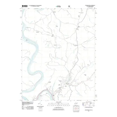 2011 Peterstown2011 Print · USGSThe Virginia and West Virginia borderlands are documented here in the early twenty-first century as the New River winds past Lurich and Rich Creek. Researchers can trace local genealogy and land use through sites like the Bozoo Post Office, Mount Carman Cemetery, and Shanklins Ferry Camp.
 - 2011 Map of Waiteville, 2011 Print
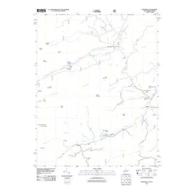 2011 Waiteville2011 Print · USGSThe West Virginia and Virginia borderlands come into focus in the early twenty-first century, showing a landscape of high ridges and narrow creek valleys. Genealogists and hikers can trace sites like the New Zion Cemetery, the Waiteville Post Office, and the War Spur Shelter.
 - 2011 Map of Oakvale, 2011 Print
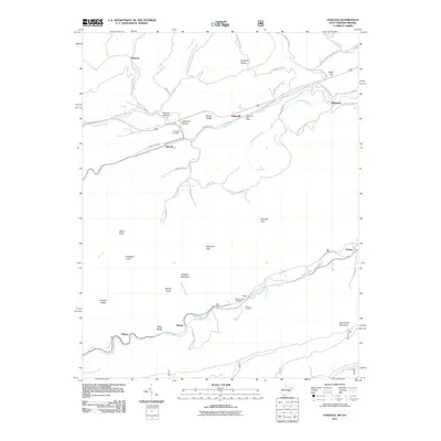 2011 Oakvale2011 Print · USGSMercer County's river valleys and mountain gaps are documented here in the early twenty-first century. Researchers can trace local heritage through the Kellysville Post Office, Oakvale Cemetery, and the small community at Possum Hollow.
 - 2011 Map of Narrows, 2011 Print
 2011 Narrows2011 Print · USGSGiles County, Virginia, and the West Virginia borderlands are revealed in this modern survey of the New River valley. Researchers can trace family history through numerous small burial grounds like Day Cemetery and Blankenship Cemetery, or follow the Appalachian Trl past Angels Rest.
 - 2011 Map of Newport, 2011 Print
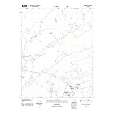 2011 Newport2011 Print · USGSThe rural communities north of Blacksburg are captured here during a period of modern residential growth amidst traditional Appalachian gaps. Researchers can locate several family burial grounds like Hale Cemetery and Clover Hollow Cemetery, as well as the landmark Clover Hollow Sinking Creek Covered Bridge.
 - 2011 Map of Mechanicsburg, 2011 Print
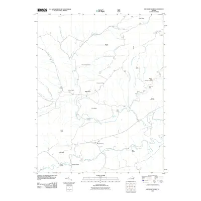 2011 Mechanicsburg2011 Print · USGSBland County's mountain valleys are documented here in the early twenty-first century as they maintain their rural character. Genealogists and hikers can trace landmarks from Mechanicsburg to Holly Brook, or locate the Falls of Dismal and Jenny Knob.
 - 2011 Map of Eggleston, 2011 Print
 2011 Eggleston2011 Print · USGSThe river and ridge country of Giles County comes into focus here during the early twenty-first century. Genealogists and local historians can trace family landmarks like Goodwins Ferry on the New River, Hoges Chapel, and the Newport Cemetery.
 - 2011 Map of Pearisburg, 2011 Print
 2011 Pearisburg2011 Print · USGSGiles County in the early twenty-first century is defined by the winding New River and the high ridges of Guinea Mountain. Genealogists and local historians can locate numerous family-named burial sites including Snidow Cemetery, Walker Cemetery, and Anderson Cemetery.
 - 2011 Map of White Gate, 2011 Print
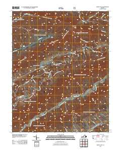 2011 White Gate2011 Print · USGSBland County's steep ridges and winding creek valleys are captured here at the start of the 2010s. Researchers can trace rural lineages at Walkers Creek Cemetery or explore landmarks like Alum Springs, White Gate, and the Dismal Peak Fire Tower.
 - 2011 Map of Staffordsville, 2011 Print
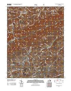 2011 Staffordsville2011 Print · USGSGiles County in the early twenty-first century is a landscape of mountain ridges and deep valleys. Genealogists can trace family lineages through the Staffordsville Cemetery and Highland Emmanuel Cemetery, or locate industrial sites like the Belle Hampton Mine.
 - 2011 Map of Radford North, 2011 Print
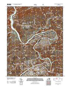 2011 Radford North2011 Print · USGSRadford and the winding New River are captured here in the early twenty-first century, showcasing a landscape of education, industry, and deep-rooted community history. Researchers can trace family ties at Sunrise Burial Park or explore the rail-and-river geography near Pepper Tunnel and East Radford.
 - 2013 Map of Radford North, 2013 Print
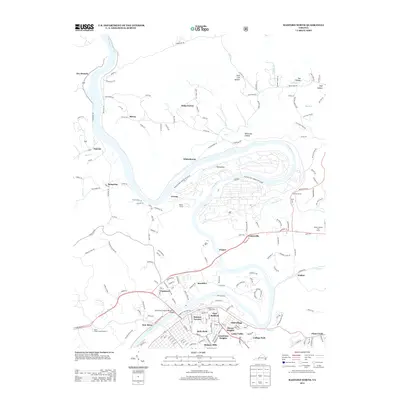 2013 Radford North2013 Print · USGSThe New River valley north of Radford appears here in the early twenty-first century, dominated by the massive Radford Army Ammunition Plant. Genealogists and local historians can trace residential growth in East Radford, locating family homes in Mill Village, Monroe Terrace, or Haven Heights.
 - 2013 Map of Eggleston, 2013 Print
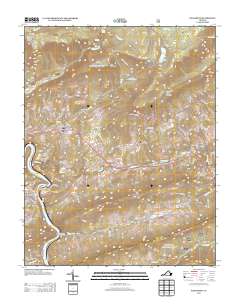 2013 Eggleston2013 Print · USGSGiles County in the early twenty-first century reveals a landscape where high-altitude water and karst drainage define the local geography. Researchers can trace rural life through settlements like Hoges Chapel or locate the unique Creek Sinks and the heights of Butt Mountain.
 - 2013 Map of Pearisburg, 2013 Print
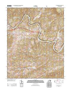 2013 Pearisburg2013 Print · USGSGiles County in the early twenty-first century reveals a landscape defined by the deep bends of the New River. Trace the development of Pearisburg and Pembroke or explore local family landmarks like Mays Hollow and the valley settlement of Bane.
 - 2013 Map of Newport, 2013 Print
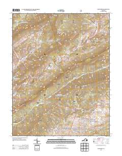 2013 Newport2013 Print · USGSVirginia's mountain ridges and valley settlements are captured here in the early twenty-first century as the landscape shifts from rural to residential. Genealogists and hikers can trace old family locales and landmarks from the Sinking Creek Covered Bridge and Huffman to the quiet waters of Pandapas Pond.
 - 2013 Map of Staffordsville, 2013 Print
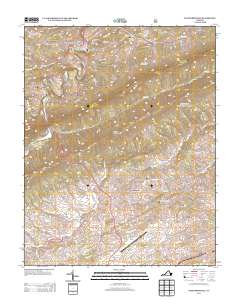 2013 Staffordsville2013 Print · USGSGiles County at the start of the 2010s reveals a landscape of high ridges and deep hollows defined by the path of Walker Cr. Local historians can trace old homesteads and family names from Staffordsville and Trigg to the New River Valley Airport at the southern edge.
 - 2013 Map of Mechanicsburg, 2013 Print
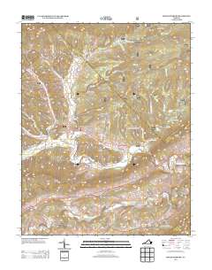 2013 Mechanicsburg2013 Print · USGSMechanicsburg and the surrounding Bland County ridges are captured here during the early twenty-first century. Researchers can trace deep-rooted local landmarks such as Lickskillet Hollow, the Falls of Dismal, and the settlement at Holly Brook.
 - 2013 Map of Narrows, 2013 Print
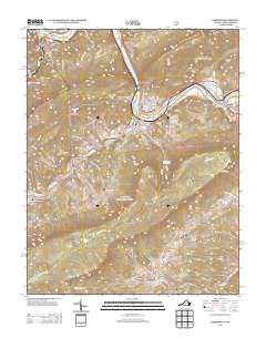 2013 Narrows2013 Print · USGSGiles County in the early 2010s shows the enduring settlements along the New River corridor as it cuts through the mountains. Researchers can trace family-named landmarks and local connections through Shumate, Thessalia, and the Appalachian Trail.
 - 2013 Map of Interior, 2013 Print
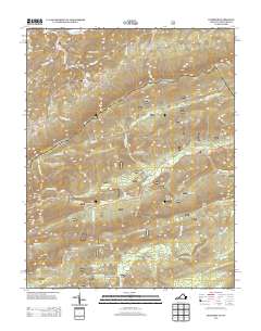 2013 Interior2013 Print · USGSThe Virginia and West Virginia borderlands appear in this early twenty-first-century survey, showcasing a landscape of high ridges and remote gaps. Outdoor historians and genealogists can trace the Appalachian Trail past White Pine Lodge and the Stony Creek Lookout Tower.
 - 2013 Map of White Gate, 2013 Print
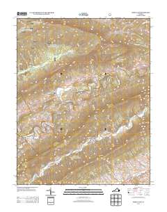 2013 White Gate2013 Print · USGSIn the early twenty-first century, this corner of Bland County remained a landscape of deep hollows and high gaps. Genealogists and hikers can trace family sites like the Farmer Back Creek Farm or visit remote landmarks such as the Dismal Peak Fire Tower and Wapiti Shelter.
 - 2014 Map of Lindside, 2014 Print
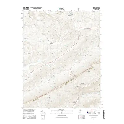 2014 Lindside2014 Print · USGSThe West Virginia and Virginia borderlands come into focus in the mid-2010s, centered on the Seneca Trail S and the slopes of Peters Mountain. Local historians can trace family burial sites like Lively Cemetery and Karnes Cemetery or explore the rugged topography of Symms Gap and Foster Knob.
Showing maps 1-25 of 60
Top cities of Giles County
- Pearisburg historical maps
- Narrows historical maps
- Pembroke historical maps
- Rich Creek historical maps
- Ripplemead historical maps
- Glen Lyn historical maps
See more
Frequently asked questions
- What are the different types of historical maps available for Giles County?
- What is the oldest map of Giles County?
- Where can I purchase historical maps of Giles County for my home or office?
- Where can I download high-res historical maps of Giles County?
- Are there historical topographic maps available for Giles County?
- Is there historical aerial imagery available for Giles County?
- Where are historical maps of Giles County sourced from?