1940s Maps of Hanover County, Virginia
Explore 19 historic maps of Hanover County from the 1940s. These maps offer a rare glimpse into what life looked like during the 1940s — showing old roads, neighborhoods, homes, and landmarks that have changed or disappeared over time.
Whether you're researching your family's past, planning a metal detecting trip, or studying how Hanover County's landscape evolved across the 1940s, these high-resolution maps are a powerful tool for exploring the history of this region.
- Focus on a specific era: All maps on this page are from the 1940s, giving you a focused view of this time period.
- See what’s changed: Compare century-old streets, trails, and buildings to today's modern landscape using overlays and satellite layers.
- Research with precision: Use these maps for genealogy, historical research, land use analysis, or educational projects.
- View, download, or print: Maps are fully viewable online in high resolution, and can be downloaded or printed for your own records.
Start exploring Hanover County's history through authentic maps from the 1940s. This is your window into the past.
Hanover County, VA maps
(19)- 1941 Map of Glen Allen
 1941 Glen Allen1941 Print · USGSNorth of Richmond in the mid-1930s, this area shows a landscape of rural crossroads and established family farms before modern suburbanization. Genealogists and researchers can locate historic landmarks like Ground Squirrel Ch, the Coalpit Sch, and the community of Short Pump.2 unique versions available
 - 1942 Map of Partlow
 1942 Partlow1942 Print · USGSSpotsylvania County during the early years of the war remained a landscape of rural general stores and winding river crossings. Genealogists and local historians can trace family locations near Duerson Store, Wallers Church, and Partlow.2 unique versions available
 - 1942 Map of Beaverdam, 1961 Print
 1942 Beaverdam1961 Print · USGSHanover and Louisa counties were largely defined by the rail and river network of the early 1940s. Researchers can trace the layout of small crossroads communities and family-named landmarks such as Greenes Corner, Lazarus Chapel, and the Beaverdam Sch.
 - 1943 Map of Mabelton
 1943 Mabelton1943 Print · USGSHanover County during the early 1940s is shown here as a landscape of rural crossroads and river-bottom milling. Researchers can trace family sites near Helltown Store, locate St Peters Church, or find the old Taylors Creek Mill.2 unique versions available
 - 1943 Map of Hanover Academy
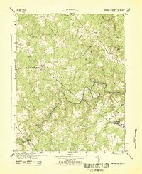 1943 Hanover Academy1943 Print · USGSMid-century Hanover County is shown here during the war years, when the rural economy still revolved around river fords and crossroads mills. Researchers can locate family landmarks like SNEEDS MILL, Hanover Academy, and the curiously named Negro Foot.2 unique versions available
 - 1943 Map of Perkinsville
 1943 Perkinsville1943 Print · USGSGoochland County at the height of the Second World War remains a landscape of rural stores and riverside rail transport. Genealogists and historians can trace the foundations of State Farm, find old community hubs like Gammons Store, or locate country parishes such as Hebron Church.2 unique versions available
 - 1943 Map of Hewlett
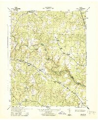 1943 Hewlett1943 Print · USGSCaroline and Hanover counties are captured here in the early 1940s, showing a rural landscape organized around the Chesapeake and Ohio rail line. Researchers can trace the heritage of local crossroads like Chilesburg or find specific landmarks such as Ottley Mill and the Mt Hewlett School.2 unique versions available
 - 1943 Map of Beaverdam
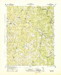 1943 Beaverdam1943 Print · USGSMid-century Hanover and Louisa counties revolve around the railroad and timber trades during the early years of the war. Genealogists and historians can trace the local hubs of Beaverdam and Bumpass, alongside rural anchors like Lazarus Chapel and Harris Store.
 - 1943 Map of Dabneys, 1961 Print
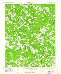 1943 Dabneys1961 Print · USGSInland Louisa County and the surrounding tri-county area are captured here during the 1940s as rural agriculture defined the landscape. Genealogists and local historians can trace scattered communities and numerous small congregations including Fork Ch, Shelfar, and Dabneys.
 - 1943 Map of Johnsons Springs, 1961 Print
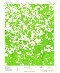 1943 Johnsons Springs1961 Print · USGSGoochland County at the height of the 1940s shows a rural Piedmont landscape of crossroads hamlets and family-named creek branches. Genealogists can trace early homesteads and community hubs like Rockville, Johnsons Springs, and the Centerville Sch.
 - 1943 Map of Richmond, 1972 Print
 1943 Richmond1972 Print · USGSCoastal Virginia and the state capital are shown in detail during the mid-century era of infrastructure expansion. Genealogists and historians can trace the grounds of Richmond Nat Battlefield Park, locate the Yorktown Nat Cem, or follow the many rural routes through Amelia Court House and Tappahannock.
 - 1944 Map of Dabneys
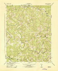 1944 Dabneys1944 Print · USGSThe rural Virginia Piedmont in the mid-1940s is mapped here as a network of crossroads stores and riverside mills. Genealogists and historians can trace families near Dunns Mill, Bagby Store, and the many congregations like Fork Church.
 - 1944 Map of Johnsons Springs
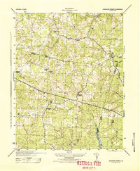 1944 Johnsons Springs1944 Print · USGSGoochland and Hanover counties are shown in detail during the mid-1940s, revealing a landscape of rural schoolhouses and country parishes. Genealogists can trace family connections to landmarks like Rockville School, Berea Church, and the homestead at Few Acres Farm.
 - 1948 Map of Washington
 1948 Washington1948 Print · USGSThe Potomac and Chesapeake regions in the late 1940s reveal a landscape of expanding military reach and deep-rooted Tidewater settlements. Trace old rail corridors like the Richmond Fredericksburg & Potomac RR or locate landmarks like the Wakefield Washington Monument and St. Marys College.2 unique versions available
 - 1949 Map of King William
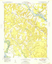 1949 King William1949 Print · USGSThe Virginia Tidewater is captured here in the years following the war, showing a landscape shaped by river landings and rural crossroads. Genealogists can locate family sites near Piping Tree Ferry, the King William Training Sch, or the historic Four Forks Inn.2 unique versions available
 - 1949 Map of Quinton
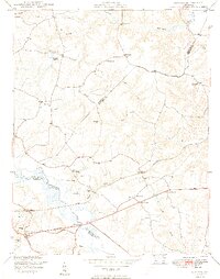 1949 Quinton1949 Print · USGSNew Kent County and the surrounding tri-county area are shown here just after the war, defined by the swampy headwaters of the Chickahominy River. Researchers can trace old crossroads at Blacks Store, local family milling sites like Parsleys Mill, and numerous country schools and churches.2 unique versions available
 - 1949 Map of Richmond, 1951 Print
 1949 Richmond1951 Print · USGSCoastal Virginia in the years following World War II remained a landscape of historic river towns and expanding military bases. Genealogists and historians can trace the rail lines of the Southern Ry and locate established landmarks from Camp Lee to the remote reaches of Dragon Swamp.
 - 1949 Map of Ruther Glen, 1964 Print
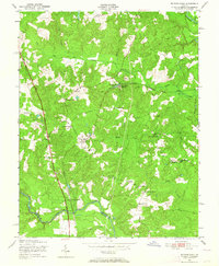 1949 Ruther Glen1964 Print · USGSCaroline County's rural crossroads and rail corridors are captured here just after the war. Local historians can trace the foundations of Ruther Glen and find family-named sites like Moncure Corner or Colemans Mill Crossing.
 - 1949 Map of Hanover, 1967 Print
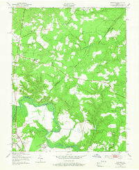 1949 Hanover1967 Print · USGSCentral Virginia’s river borders and rural communities are captured here just after the war, showing the intersection of three counties. Genealogists and historians can locate family landmarks like Burrows Chapel, Etna Mills, and the Virginia Industrial School for Boys.
End of results
Showing maps 1-19 of 19
Top cities of Hanover County
Frequently asked questions
- What are the different types of historical maps available for Hanover County?
- What is the oldest map of Hanover County?
- Where can I purchase historical maps of Hanover County for my home or office?
- Where can I download high-res historical maps of Hanover County?
- Are there historical topographic maps available for Hanover County?
- Is there historical aerial imagery available for Hanover County?
- Where are historical maps of Hanover County sourced from?