1950s Maps of Hanover County, Virginia
Explore 10 historic maps of Hanover County from the 1950s. These maps offer a rare glimpse into what life looked like during the 1950s — showing old roads, neighborhoods, homes, and landmarks that have changed or disappeared over time.
Whether you're researching your family's past, planning a metal detecting trip, or studying how Hanover County's landscape evolved across the 1950s, these high-resolution maps are a powerful tool for exploring the history of this region.
- Focus on a specific era: All maps on this page are from the 1950s, giving you a focused view of this time period.
- See what’s changed: Compare century-old streets, trails, and buildings to today's modern landscape using overlays and satellite layers.
- Research with precision: Use these maps for genealogy, historical research, land use analysis, or educational projects.
- View, download, or print: Maps are fully viewable online in high resolution, and can be downloaded or printed for your own records.
Start exploring Hanover County's history through authentic maps from the 1950s. This is your window into the past.
Hanover County, VA maps
(10)- 1950 Map of Old Church
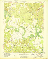 1950 Old Church1950 Print · USGSThe Pamunkey River basin in the early postwar era reveals a landscape of tidal swamps and scattered crossroads communities. Genealogists and historians can trace the foundations of the area at Old Church, Appersons Store, and historic landings like Carters Landing.2 unique versions available
 - 1951 Map of Ruther Glen
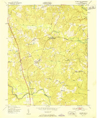 1951 Ruther Glen1951 Print · USGSSettlement along the railroad in Caroline County reached a peak mid-century, centered on the village of Ruther Glen. Genealogists and local historians can trace family-named crossroads like McBryant Corner and Burruss Corner, or locate St Pauls Ch and McDuff Sch.
 - 1951 Map of Ashland
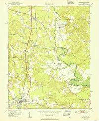 1951 Ashland1951 Print · USGSMid-century Hanover County centers on the rail hub of Ashland and the collegiate grounds of Randolph-Macon College. Genealogists and historians can trace river crossings and local landmarks like Ashland Mill, Doswell Sch, and Jerusalem Ch.
 - 1951 Map of Hanover
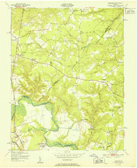 1951 Hanover1951 Print · USGSMid-century rural life in Hanover and King William counties centered on the river and the rail line. Researchers can trace family-named landmarks and institutions like Mangohick, the Virginia Industrial School for Boys, and Gravatts Mill.
 - 1951 Map of Studley
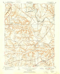 1951 Studley1951 Print · USGSHanover County at mid-century reveals a rural landscape defined by the winding Pamunkey River and its many creek systems. Researchers can trace family roots through historic crossroads like Rural Point and Hundleys Corner, or locate institutions like Battlefield Park High Sch and New Bethesda Ch.
 - 1951 Map of Yellow Tavern
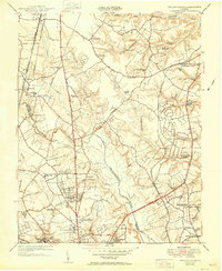 1951 Yellow Tavern1951 Print · USGSNorth of Richmond in the early fifties, this area reveals a landscape of rural stores and historic memorials along the Chickahominy. Trace the sites of the Henry Clay Birthplace, the Jeb Stuart Monument, and the rail junction at Atlee Sta.
 - 1956 Map of Seven Pines, 1959 Print
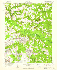 1956 Seven Pines1959 Print · USGSEast of Richmond in the mid-fifties, the landscape reveals a layering of significant Civil War sites and burgeoning mid-century suburban expansion. Researchers can trace historic landmarks like the Garthright House, several old mills including Gaines Mill, and the grounds of Savage Station.
 - 1956 Map of Richmond, 1959 Print
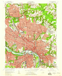 1956 Richmond1959 Print · USGSMid-century Richmond is shown just as the new turnpike began to reshape the urban landscape and the historic James River riverfront. Researchers can trace the footprints of Union Theological Seminary, the historic Hollywood Cemetery, and the old Seaboard Air Line Railroad yards.
 - 1957 Map of Washington, 1966 Print
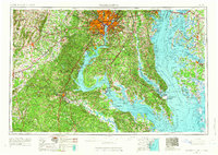 1957 Washington1966 Print · USGSThe mid-Atlantic region during the mid-fifties and early sixties reveals a landscape of growing suburbs and vital military outposts. Researchers can trace historic river towns and shorelines from Alexandria to the Hooper Islands and St Clements Island.5 unique versions available
 - 1959 Map of Richmond
 1959 Richmond1959 Print · USGSMid-century Virginia is captured here at its most vital rail and river junctions, from the capital city to the Chesapeake Bay. Genealogists and historians can trace the development of colonial settlements like Williamsburg and military landmarks including Fort Monroe and Camp Lee.
End of results
Showing maps 1-10 of 10
Top cities of Hanover County
Frequently asked questions
- What are the different types of historical maps available for Hanover County?
- What is the oldest map of Hanover County?
- Where can I purchase historical maps of Hanover County for my home or office?
- Where can I download high-res historical maps of Hanover County?
- Are there historical topographic maps available for Hanover County?
- Is there historical aerial imagery available for Hanover County?
- Where are historical maps of Hanover County sourced from?