2000s (21st Century) Maps of Hanover County, Virginia
Explore 95 historic maps of Hanover County from the 2000s (21st Century). These maps offer a rare glimpse into what life looked like during the 2000s — showing old roads, neighborhoods, homes, and landmarks that have changed or disappeared over time.
Whether you're researching your family's past, planning a metal detecting trip, or studying how Hanover County's landscape evolved across the 2000s, these high-resolution maps are a powerful tool for exploring the history of this region.
- Focus on a specific era: All maps on this page are from the 2000s, giving you a focused view of this time period.
- See what’s changed: Compare century-old streets, trails, and buildings to today's modern landscape using overlays and satellite layers.
- Research with precision: Use these maps for genealogy, historical research, land use analysis, or educational projects.
- View, download, or print: Maps are fully viewable online in high resolution, and can be downloaded or printed for your own records.
Start exploring Hanover County's history through authentic maps from the 2000s. This is your window into the past.
Hanover County, VA maps
(95)- 2010 Map of Lake Anna East, 2010 Print
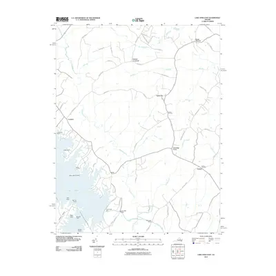 2010 Lake Anna East2010 Print · USGSSpotsylvania County's landscape at the start of the 2010s shows a mix of rural crossroads and the sprawling waters of Lake Anna. Genealogists and local historians can trace family-named sites like Wallers Cemetery, Penneys Crossroad, and the Partlow Post Office.
 - 2010 Map of Quinton, 2010 Print
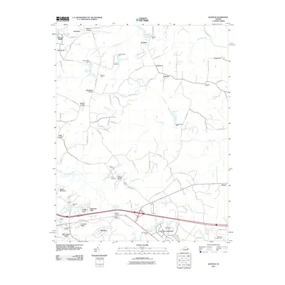 2010 Quinton2010 Print · USGSNew Kent and Hanover Counties are shown here during a period of suburban transition at the start of the 2010s. Researchers can locate historic rural junctions like Liggans Corner alongside family landmarks such as Wharton Field and Tabernacle Cemetery.
 - 2010 Map of Ashland, 2010 Print
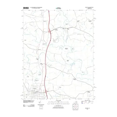 2010 Ashland2010 Print · USGSHanover County's river valleys and the growing town of Ashland are captured here in the first decade of the millennium. Researchers can trace the junction of the North Anna River and South Anna River or locate historic landmarks like Ashland Mill and Concord Cemetery.
 - 2010 Map of Hylas, 2010 Print
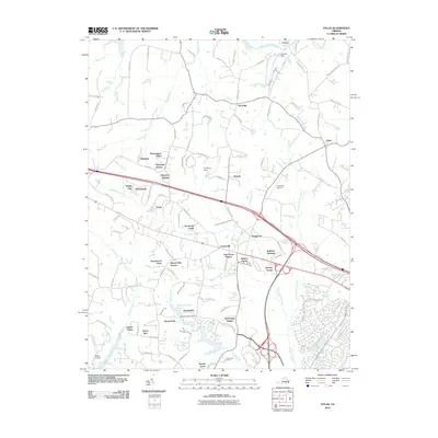 2010 Hylas2010 Print · USGSThe Hanover and Goochland county lines meet here during a period of rapid suburban change at the start of the twenty-first century. Researchers can trace the development of residential enclaves like Bellview Gardens and find rural landmarks such as Cochran Dam and the Rockville Airport.
 - 2010 Map of Dabneys, 2010 Print
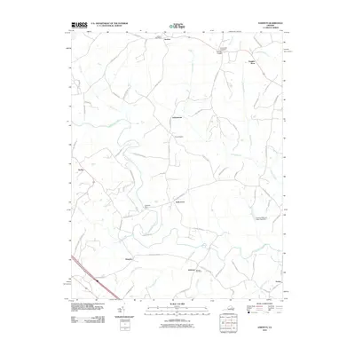 2010 Dabneys2010 Print · USGSLouisa County in the early twenty-first century retains its rural character, centered around the South Anna River and its network of country roads. Researchers can trace historic postal hubs and community landmarks like Dabneys Post Office, Duggins Store, and Sheltons Dam.
 - 2010 Map of Yellow Tavern, 2010 Print
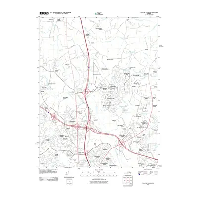 2010 Yellow Tavern2010 Print · USGSHanover County at the start of the decade shows a suburbanizing landscape shaped by the CSX rail corridor and regional aviation hubs. Genealogists and historians can locate legacy sites like Mount Hermon Cemetery, Slash Cottage, and the historic Yellow Tavern.
 - 2010 Map of Hanover, 2010 Print
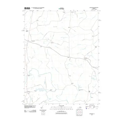 2010 Hanover2010 Print · USGSIn this corner of rural Virginia, the Pamunkey River basin reveals a landscape of longstanding family settlements and historical river crossings. Genealogists can trace family roots through sites like Bethel Cemetery, the Etna Mills crossroads, and the community at Mangohick.
 - 2010 Map of Montpelier, 2010 Print
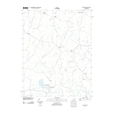 2010 Montpelier2010 Print · USGSHanover County at the start of the 2010s shows a landscape of persistent rural crossroads and modern industry. Researchers can find deep local roots at Saint Peters Cemetery and Gouldin, or trace industrial sites like The Feldspar Corporation Dam Number One.
 - 2010 Map of Hewlett, 2010 Print
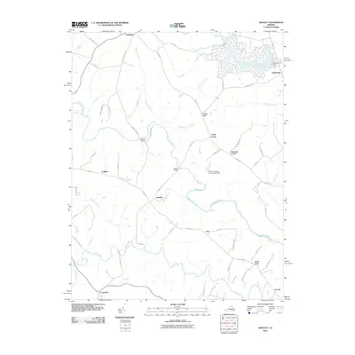 2010 Hewlett2010 Print · USGSIn the early twenty-first century, this Caroline County area shows a blend of old river-valley hamlets and newer lakeside residential development. Genealogists can trace the rural landscape near Hewlett, Noel, and historical crossings like Landora Bridge.
 - 2010 Map of King William, 2010 Print
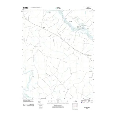 2010 King William2010 Print · USGSIn the early twenty-first century, this part of Tidewater Virginia remains a landscape defined by its river-based history and rural crossroads. Researchers can trace ancestral sites at Saint James Presbyterian Church Cemetery and explore old riverfronts at Walkerton Landing and Roanes Wharf.
 - 2010 Map of Glen Allen, 2010 Print
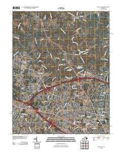 2010 Glen Allen2010 Print · USGSHenrico County was undergoing significant residential growth at the start of the decade, as seen in this 2010 survey of the Richmond suburbs. Genealogists and local historians can locate several family sites including Winns Cemetery and Springfield Cemetery, or trace the development around Short Pump and Glen Allen.
 - 2010 Map of Perkinsville, 2010 Print
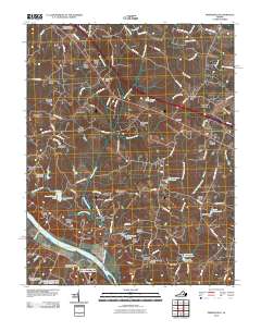 2010 Perkinsville2010 Print · USGSGoochland County, Virginia, is captured in this 2010 study as the suburban landscape meets the historic James River corridor. Researchers can locate the extensive Virginia State Farm, the Crozier Post Office, and established locales like Oilville and Perkinsville.
 - 2010 Map of Beaverdam, 2010 Print
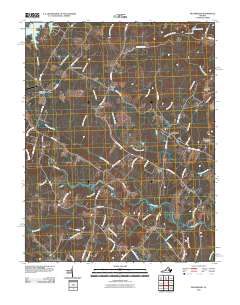 2010 Beaverdam2010 Print · USGSLouisa County’s rural crossroads and watercourses are documented here just after the first decade of the millennium. Genealogists can trace property access and local landmarks from Greenes Corner to Old Bandana, or locate the Bumpass Post Office and Anderson Bridge.
 - 2010 Map of Seven Pines, 2010 Print
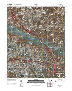 2010 Seven Pines2010 Print · USGSGreater Mechanicsville and the Chickahominy River basin appear here in the early twenty-first century as a mix of suburban expansion and preserved Civil War history. Researchers can trace family sites and veterans' history at the Cold Harbor National Cemetery, Gaines Mill, and Highland Springs.
 - 2010 Map of Manquin, 2010 Print
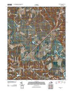 2010 Manquin2010 Print · USGSKing William County remains a landscape shaped by its river landings and rural crossroads at the start of the twenty-first century. Researchers can trace ancestral locations near Hanovertown, Appersons Store, and Sharon Baptist Church Cemetery.
 - 2010 Map of Ruther Glen, 2010 Print
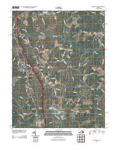 2010 Ruther Glen2010 Print · USGSCaroline County at the start of the 2010s remains a landscape of crossroads settlements and river branches. Researchers can trace family history through sites like Saint Margarets Cemetery or locate old industrial landmarks such as Boulwares Millpond and Colemans Mill Crossing.
 - 2010 Map of Hanover Academy, 2010 Print
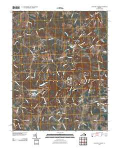 2010 Hanover Academy2010 Print · USGSHanover County at the start of the twenty-first century remains a landscape of historic river crossings and rural crossroads. Genealogists and local historians can trace family-named water features like Pollards Pond or locate community hubs like Scotchtown and Negro Foot.
 - 2010 Map of Richmond, 2010 Print
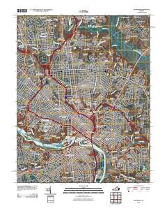 2010 Richmond2010 Print · USGSThe James River corridor in the early twenty-first century reveals a landscape defined by historic bridges and significant commemorative sites. Researchers can trace the boundaries of Hollywood Cemetery, locate early landing sites at Rocketts Landing, and explore the layout of Church Hill.
 - 2010 Map of Studley, 2010 Print
 2010 Studley2010 Print · USGSCoastal Virginia's river-fed plains appear in this recent survey, showing the expansion of rural communities between the Pamunkey and Totopotomoy rivers. Researchers can locate family burial grounds at Abraham Cemetery or trace the old Hawes Millrace and Studley Post Office.
 - 2013 Map of Lake Anna East, 2013 Print
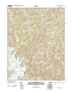 2013 Lake Anna East2013 Print · USGSCoastal development meets traditional Virginia crossroads in the early twenty-first century. Genealogists and local historians can trace the roads connecting Levy, Gatewood, and Partlow or locate family-named spans like Smiths Mill Bridge.
 - 2013 Map of Glen Allen, 2013 Print
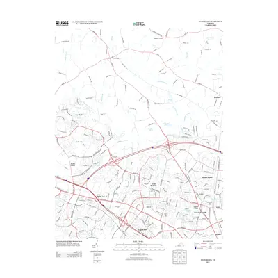 2013 Glen Allen2013 Print · USGSSuburban expansion meets rural Virginia at the turn of the decade, as Henrico and Hanover Counties continued to grow along the Chickahominy River. Researchers can trace the footprint of established institutions like the Virginia Home for Boys and settlements like Erin Shades or Laurel Village.
 - 2013 Map of Beaverdam, 2013 Print
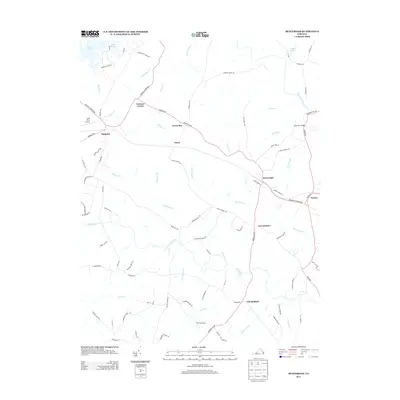 2013 Beaverdam2013 Print · USGSLouisa County’s rural crossroads and the shores of Lake Anna are captured in the early twenty-first century. Genealogists and local historians can trace the landscape from Greenes Corner to the settlement at Beaverdam and the landing at Old Bandana.
 - 2013 Map of Dabneys, 2013 Print
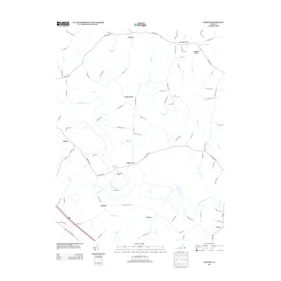 2013 Dabneys2013 Print · USGSCentral Virginia’s rural landscape is mapped here in the early 2010s, showcasing a network of historic settlements and river valleys. Researchers can trace local lineage through sites like Sheltons Millpond, the small community of Dongola, and the family-named Johnsons Mill Farm.
 - 2013 Map of Hylas, 2013 Print
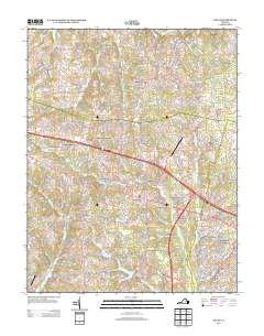 2013 Hylas2013 Print · USGSGreater Richmond’s western outskirts appear in this early twenty-first century survey, showing the expansion of settlements near the South Anna River. Genealogists and historians can trace family-named areas like Johnsons Springs, Pickels, and Casco.
 - 2013 Map of Studley, 2013 Print
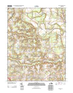 2013 Studley2013 Print · USGSThe Hanover County countryside south of the Pamunkey River is shown here in the early twenty-first century, balancing modern growth with deep agricultural roots. Researchers can trace the layout of legacy sites like Hawes Millrace and Studley alongside rural crossroads at Hundleys Corner.
Showing maps 1-25 of 95
Top cities of Hanover County
Frequently asked questions
- What are the different types of historical maps available for Hanover County?
- What is the oldest map of Hanover County?
- Where can I purchase historical maps of Hanover County for my home or office?
- Where can I download high-res historical maps of Hanover County?
- Are there historical topographic maps available for Hanover County?
- Is there historical aerial imagery available for Hanover County?
- Where are historical maps of Hanover County sourced from?