1960s Maps of Hanover County, Virginia
Explore 21 historic maps of Hanover County from the 1960s. These maps offer a rare glimpse into what life looked like during the 1960s — showing old roads, neighborhoods, homes, and landmarks that have changed or disappeared over time.
Whether you're researching your family's past, planning a metal detecting trip, or studying how Hanover County's landscape evolved across the 1960s, these high-resolution maps are a powerful tool for exploring the history of this region.
- Focus on a specific era: All maps on this page are from the 1960s, giving you a focused view of this time period.
- See what’s changed: Compare century-old streets, trails, and buildings to today's modern landscape using overlays and satellite layers.
- Research with precision: Use these maps for genealogy, historical research, land use analysis, or educational projects.
- View, download, or print: Maps are fully viewable online in high resolution, and can be downloaded or printed for your own records.
Start exploring Hanover County's history through authentic maps from the 1960s. This is your window into the past.
Hanover County, VA maps
(21)- 1961 Map of Washington
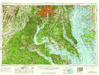 1961 Washington1961 Print · USGSThe mid-Atlantic region in the late fifties is presented in remarkable detail, from the Blue Ridge foothills to the Chesapeake Eastern Shore. Researchers can trace historic river landings and military sites like Mount Vernon, Fort Belvoir, and Point Lookout.2 unique versions available
 - 1963 Map of Hylas, 1965 Print
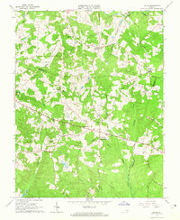 1963 Hylas1965 Print · USGSGoochland and Hanover counties come together in the early sixties at the headwaters of the Tuckahoe. Genealogists can trace family footprints through numerous small communities like Rockville and Johnsons Springs, or locate rural landmarks like St Matthews Ch and the Rockville Sch.3 unique versions available
 - 1963 Map of Glen Allen, 1965 Print
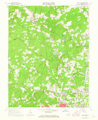 1963 Glen Allen1965 Print · USGSHenrico and Hanover Counties are shown during the early sixties as rural crossroads evolved into growing suburban communities. Genealogists can trace family landmarks like North Gayton Ch, Lanes Corner, and the Roselawn Cem near the Chickahominy River.7 unique versions available
 - 1963 Map of Yellow Tavern, 1965 Print
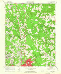 1963 Yellow Tavern1965 Print · USGSNorth of Richmond in the early sixties, the Hanover and Henrico borderlands remained a landscape of historic landmarks and growing suburbs. Genealogists and historians can locate family-named sites like Heaths Store, the Henry Clay Birthplace, and the JEB Stuart Monument.6 unique versions available
 - 1964 Map of Richmond
 1964 Richmond1964 Print · USGSCoastal and central Virginia are mapped during the mid-twentieth century, showing the critical intersection of rail, river, and military life. Genealogists can trace family roots through rural county seats like Amelia or find vanished coastal neighborhoods near Phoebus and Hilton Village.
 - 1964 Map of Studley, 1965 Print
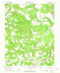 1964 Studley1965 Print · USGSHanover County at the start of the 1960s reveals a Tidewater landscape shaped by the winding Pamunkey River and deep-rooted rural communities. Local historians can trace family locations near Studley, Pole Green, and the State Industrial School, or locate early sites like Talley Millpond and Cypress Cem.5 unique versions available
 - 1964 Map of Seven Pines, 1966 Print
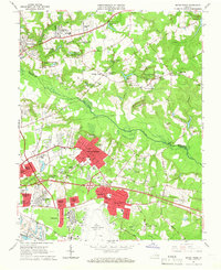 1964 Seven Pines1966 Print · USGSThe Henrico and Hanover County borderlands come alive in the mid-sixties, showing the growth of suburban communities near the expanding Byrd Field. Trace the historic landscapes of Old Cold Harbor and Savage Station, or locate family landmarks like the Garthright House and Lee-Davis High Sch.6 unique versions available
 - 1964 Map of Richmond, 1966 Print
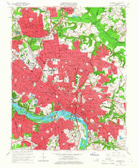 1964 Richmond1966 Print · USGSRichmond and its riverfront suburbs come alive in the mid-1960s, showing the intersection of historic urban density and new interstate-era development. Genealogists and historians can trace extensive burial grounds like Hollywood Cemetery or visit the campus of Virginia Union University.8 unique versions available
 - 1965 Map of Quinton, 1968 Print
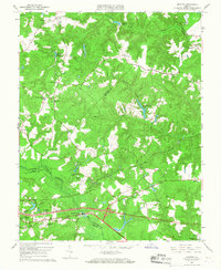 1965 Quinton1968 Print · USGSNew Kent and Hanover counties appear here in the mid-sixties, where the winding Chickahominy River meets a landscape of old millponds and emerging suburbs. Genealogists can trace family landmarks like Alexanders Corner or find records at Black Creek Ch and Tabernacle Cem.5 unique versions available
 - 1966 Map of Partlow, 1967 Print
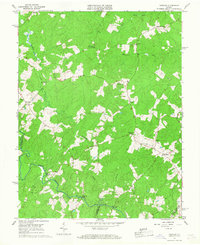 1966 Partlow1967 Print · USGSSpotsylvania County is mapped here in the mid-sixties, showing a landscape defined by the North Anna River and traditional crossroads. Genealogists can trace early families through sites like Wallers Ch, Livingston Sch, and Penneys Crossroad.
 - 1968 Map of Perkinsville, 1970 Print
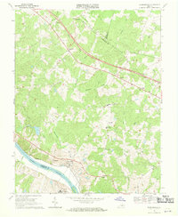 1968 Perkinsville1970 Print · USGSGoochland County in the late sixties reveals a landscape of Piedmont ridges and river-bottom industry along the James River. Genealogists and local historians can trace family locations near Gammons Store, Randolph Sch, and the State Farm Penal Institution.3 unique versions available
 - 1968 Map of Dabneys, 1970 Print
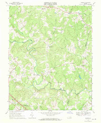 1968 Dabneys1970 Print · USGSLouisa and Hanover counties are documented here in the late sixties as the rural landscape preserved its network of traditional crossroads and country churches. Genealogists and local historians can locate several historic houses of worship like Hopeful Ch and Oakland Ch, alongside small settlements like Dabneys and Shelfar.3 unique versions available
 - 1968 Map of Manquin, 1972 Print
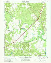 1968 Manquin1972 Print · USGSCoastal Virginia during the late sixties reveals a landscape of quiet crossroads and river bends at the junction of King William and Hanover counties. Researchers can trace the heritage of Old Church, locate family landmarks like Dabneys Millpond, and find rural congregations at McKendree Ch.2 unique versions available
 - 1968 Map of King William, 1972 Print
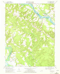 1968 King William1972 Print · USGSThe rural Virginia landscape between the Mattaponi and Pamunkey rivers comes alive in the late sixties. Genealogists and historians can trace long-standing community centers like King William or find riverfront landmarks including Piping Tree Ferry and Roanes Wharf.3 unique versions available
 - 1969 Map of Ashland, 1970 Print
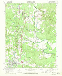 1969 Ashland1970 Print · USGSHanover County in the late sixties shows the growth of Ashland around Randolph-Macon College and its dual-railroad corridors. Genealogists can trace family names at Mt Hope Ch or locate old community hubs like Gum Tree and Ashland Mill.4 unique versions available
 - 1969 Map of Hanover Academy, 1970 Print
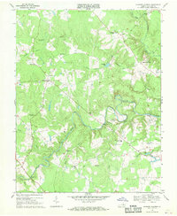 1969 Hanover Academy1970 Print · USGSHanover County at the end of the 1960s shows a landscape of river-bend settlements and rural crossroads. Local historians can trace family-named landmarks and old congregations like Scotchtown, Independence Ch, and the Fork Ch Cem.4 unique versions available
 - 1969 Map of Beaverdam, 1971 Print
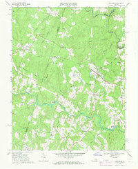 1969 Beaverdam1971 Print · USGSHanover and Louisa counties were still deeply rural during the late sixties, centered on the railroad and river systems. Genealogists can locate many family burial grounds and historic community hubs like Beaverdam Sch, St Thomas Ch, and Old Bandana.3 unique versions available
 - 1969 Map of Hanover, 1971 Print
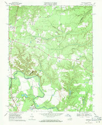 1969 Hanover1971 Print · USGSThe Pamunkey River lowlands and the rural crossroads of Hanover and Caroline Counties are captured here in the late sixties. Genealogists and local historians can trace the foundations of Hanover, locate family-named settlements like Haleys Corner, and find landmarks like St Pauls Ch and Etna Mills.4 unique versions available
 - 1969 Map of Montpelier, 1971 Print
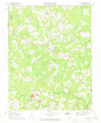 1969 Montpelier1971 Print · USGSHanover County at the end of the 1960s was a landscape of quiet crossroads and riverfront industry. Researchers can trace rural community life through landmarks like Bethany Sch, the Mines near Gouldin, and the remote St Peters Ch.3 unique versions available
 - 1969 Map of Hewlett, 1971 Print
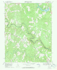 1969 Hewlett1971 Print · USGSCaroline and Hanover counties are captured here in the late sixties as the river-and-rail landscape began to see new development. Genealogists can locate family landmarks like Mt Salem Ch, trace the Chesapeake and Ohio rail line, and find small communities like Hewlett and Chilesburg.4 unique versions available
 - 1969 Map of Ruther Glen, 1971 Print
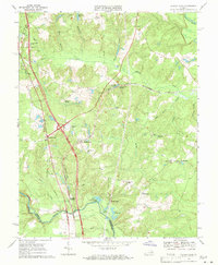 1969 Ruther Glen1971 Print · USGSCaroline County in the late sixties shows a landscape of crossroads hamlets and active rail lines before modern development. Genealogists and historians can trace family locations near McBryant Corner, identify the site of a Civil War Fort, or locate rural churches like St Margarets Ch.4 unique versions available
End of results
Showing maps 1-21 of 21
Top cities of Hanover County
Frequently asked questions
- What are the different types of historical maps available for Hanover County?
- What is the oldest map of Hanover County?
- Where can I purchase historical maps of Hanover County for my home or office?
- Where can I download high-res historical maps of Hanover County?
- Are there historical topographic maps available for Hanover County?
- Is there historical aerial imagery available for Hanover County?
- Where are historical maps of Hanover County sourced from?