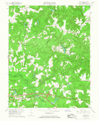
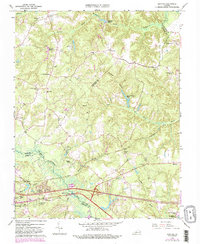
1965 Map of Quinton
USGS Topo · Published 1968About this map
The Chickahominy River forms a wide, meandering boundary between New Kent and Henrico counties, surrounded by a complex system of wetlands including Higgins Swamp and Meadow Swamp. During the mid-1960s, this region of Virginia was characterized by a transition from traditional rural crossroads like Holts Corner and Wicker Corner to newer residential developments such as Bradley Acres and Woodhaven Shores. The importance of water management in the local economy is evident through several historical impoundments, notably Parsleys Millpond and Flanagans Millpond. Transport is anchored by the Southern railroad line and the highway junction at Bottoms Bridge, while community life centers on long-standing institutions like Black Creek Ch and the Quinton Community Center. The presence of New Kent Airport and several youth camps, including Camp Kentwood, indicates the area's increasing role in regional recreation and logistics.
Find a feature on this map
49 named features on this map. Tap any name to fly to it.
Don’t see what you’re looking for? This feature index may not catch every label — zoom into the map to look around manually.
Map Details
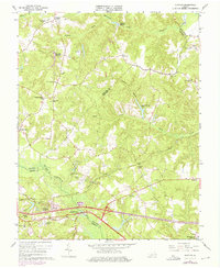
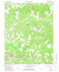
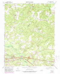
Editions of this 1965 Quinton Map
5 editions found
Other maps of this area

1894 · Bermuda Hundred
USGS Topo · 1:62,500

1894 · Richmond
USGS Topo · 1:62,500

1895 · Richmond
USGS Topo · 1:62,500

1918 · Charles City
USGS Topo · 1:62,500

1920 · King William
USGS Topo · 1:62,500

1934 · Seven Pines
USGS Topo · 1:24,000

1938 · Dutch Gap
USGS Topo · 1:24,000

1938 · Seven Pines
USGS Topo · 1:31,680

1938 · Studley
USGS Topo · 1:31,680

1943 · Dutch Gap
USGS Topo · 1:31,680