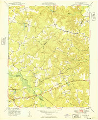
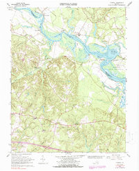
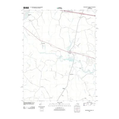
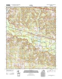
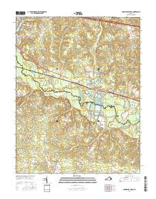
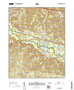
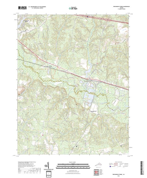
1966 Map of Providence Forge
USGS Topo · Published 1988About this map
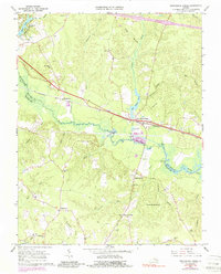
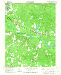
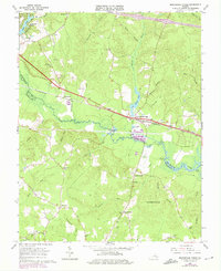
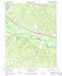
The Chickahominy River winds across this Tidewater landscape, forming the boundary between New Kent Co and Charles City Co. At its center lies Providence Forge, a transit hub where the Chesapeake and Ohio railroad corridor parallels the river's path. The map reveals a dense network of rural churches and family-named landmarks, including Emmaus Ch and Adkins Store, reflecting the social fabric of the mid-20th century.
Find a feature on this map
48 named features on this map. Tap any name to fly to it.
Don’t see what you’re looking for? This feature index may not catch every label — zoom into the map to look around manually.
Map Details
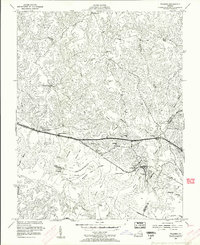
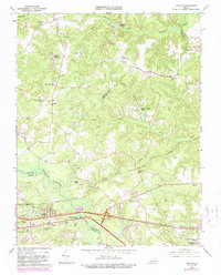
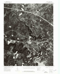
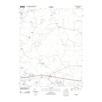
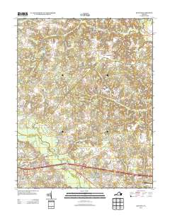
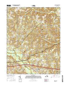
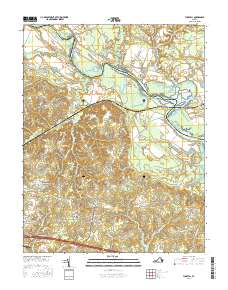
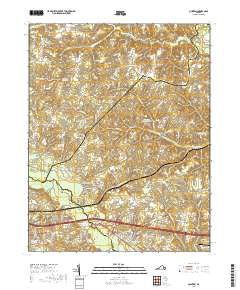
Editions of this 1966 Providence Forge Map
4 editions found
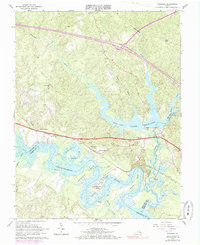
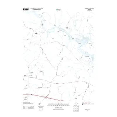
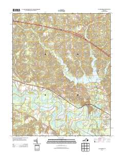
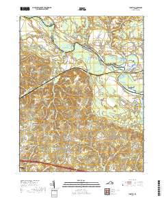
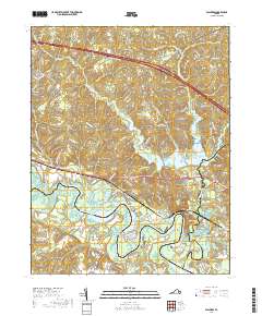
Historical Maps of Providence Forge Through Time
32 maps found
1949 Quinton
New Kent County, VA

1949 Tunstall
New Kent County, VA

1953 Providence Forge
New Kent County, VA
1953 Walkers
New Kent County, VA
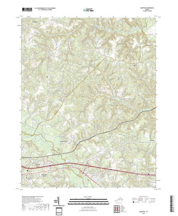
1965 Quinton
New Kent County, VA
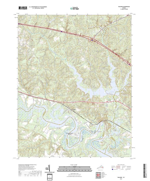
1965 Walkers
New Kent County, VA
1966 Providence Forge
New Kent County, VA
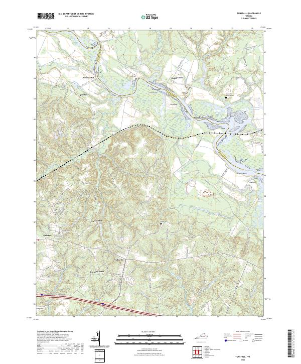
1966 Tunstall
New Kent County, VA
1973 Walkers
New Kent County, VA
1974 Providence Forge
New Kent County, VA
1974 Quinton
New Kent County, VA

1974 Tunstall
New Kent County, VA
2010 Providence Forge
New Kent County, VA
2010 Quinton
New Kent County, VA
2010 Tunstall
New Kent County, VA
2011 Walkers
New Kent County, VA
2013 Providence Forge
New Kent County, VA
2013 Quinton
New Kent County, VA
2013 Tunstall
New Kent County, VA
2013 Walkers
New Kent County, VA
2016 Providence Forge
New Kent County, VA
2016 Quinton
New Kent County, VA
2016 Tunstall
New Kent County, VA
2016 Walkers
New Kent County, VA
2019 Providence Forge
New Kent County, VA
2019 Quinton
New Kent County, VA
2019 Tunstall
New Kent County, VA
2019 Walkers
New Kent County, VA
2022 Providence Forge
New Kent County, VA
2022 Quinton
New Kent County, VA
2022 Tunstall
New Kent County, VA
2022 Walkers
New Kent County, VA