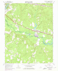
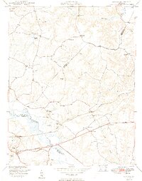
1966 Map of Providence Forge
USGS Topo · Published 1975About this map
The Chickahominy River winds through the heart of the Virginia Tidewater, marking the historical boundary between New Kent and Charles City counties. This mid-century survey captures a landscape defined by its riverine geography and a series of rural crossroads, including Providence Forge and Adkins Store. The transportation corridor of the Chesapeake and Ohio railroad cuts across the terrain, passing through the settlement at Mountcastle. Along the river's edge, old access points like Holly Landing, Oldhouse Landing, and Winns Landing reflect the area's long-standing connection to the water. The map is particularly rich for genealogical research, documenting numerous country congregations such as Mt Stirling Ch, Emmaus Ch, and Little Elam Ch, along with family-named landmarks like Jerdones Big Woods and the Minitree Hill upland.
Find a feature on this map
56 named features on this map. Tap any name to fly to it.
Don’t see what you’re looking for? This feature index may not catch every label — zoom into the map to look around manually.
Map Details
Editions of this 1966 Providence Forge Map
4 editions found
Other maps of this area

1917 · Toano
USGS Topo · 1:62,500

1918 · Charles City
USGS Topo · 1:62,500

1918 · Toano
USGS Topo · 1:62,500

1919 · New Kent
USGS Topo · 1:62,500

1920 · King William
USGS Topo · 1:62,500

1943 · Richmond
USGS Topo · 1:250,000
1949 · Quinton
USGS Topo · 1:24,000

1949 · Tunstall
USGS Topo · 1:24,000

1949 · New Kent
USGS Topo · 1:24,000

1949 · Richmond
USGS Topo · 1:250,000