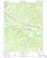
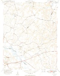
1966 Map of Providence Forge
USGS Topo · Published 1984About this map
Providence Forge serves as a central hub on this 1960s landscape, situated where the Chesapeake and Ohio railroad crosses the winding Chickahominy River. The river forms the primary boundary between New Kent and Charles City counties, its course defined by wide tidal marshes and distinct landings like Holly Landing and Oldhouse Landing. The interior topography is a network of ridges and drainage basins, including Potato Run and Collins Run, which separate small agricultural and timber-linked settlements. Local landmarks such as Adkins Store and Roaches Corner indicate the dispersed nature of community life during this era. The map also documents numerous spiritual and memorial sites essential for genealogical research, ranging from Emmaus Ch in the north to Little Elam Ch and the Menoah Cem near the southern boundary.
Find a feature on this map
50 named features on this map. Tap any name to fly to it.
Don’t see what you’re looking for? This feature index may not catch every label — zoom into the map to look around manually.
Map Details
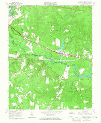
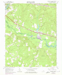
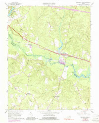
Editions of this 1966 Providence Forge Map
4 editions found
Other maps of this area

1917 · Toano
USGS Topo · 1:62,500

1918 · Charles City
USGS Topo · 1:62,500

1918 · Toano
USGS Topo · 1:62,500

1919 · New Kent
USGS Topo · 1:62,500

1920 · King William
USGS Topo · 1:62,500

1943 · Richmond
USGS Topo · 1:250,000
1949 · Quinton
USGS Topo · 1:24,000

1949 · Tunstall
USGS Topo · 1:24,000

1949 · New Kent
USGS Topo · 1:24,000

1949 · Richmond
USGS Topo · 1:250,000