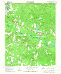
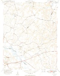
1966 Map of Providence Forge
USGS Topo · Published 1968About this map
Providence Forge serves as a central hub in the mid-1960s where the Chesapeake and Ohio railway meets the Chickahominy River corridor. The landscape is defined by its deep woods and water-fed lowlands, notably Jerdones Big Woods and the winding reaches of Schiminoe Creek. Small rural communities and crossroads like Mountcastle, Adkins Store, and Roaches Corner are scattered across the terrain, often anchored by local congregations such as Mt Calvary Ch, Emmaus Ch, and Little Elam Ch. These settlements reflect a traditional Tidewater Virginia pattern where development follows the higher ground between swampy drainages like Toe Ink Swamp and Big Swamp. The presence of the Gaging Sta on the Chickahominy and the Lookout Tower near the Charles City County line highlight the importance of river monitoring and forestry management in this period.
Find a feature on this map
44 named features on this map. Tap any name to fly to it.
Don’t see what you’re looking for? This feature index may not catch every label — zoom into the map to look around manually.
Map Details
Editions of this 1966 Providence Forge Map
4 editions found
Other maps of this area

1917 · Toano
USGS Topo · 1:62,500

1918 · Charles City
USGS Topo · 1:62,500

1918 · Toano
USGS Topo · 1:62,500

1919 · New Kent
USGS Topo · 1:62,500

1920 · King William
USGS Topo · 1:62,500

1943 · Richmond
USGS Topo · 1:250,000
1949 · Quinton
USGS Topo · 1:24,000

1949 · Tunstall
USGS Topo · 1:24,000

1949 · New Kent
USGS Topo · 1:24,000

1949 · Richmond
USGS Topo · 1:250,000