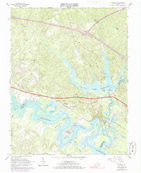
1965 Map of Walkers
USGS Topo · Published 1985About this map
The Chickahominy River meanders through the heart of this coastal Virginia landscape, defining the boundary between New Kent and Charles City counties. The mid-1960s environment is marked by a complex network of wetlands including Turkey Swamp and Big Swamp, as well as the significant Diascund Creek Reservoir. The Chesapeake and Ohio railroad cuts a straight line through the lower portion of the sheet, connecting small settlements like Walkers and Windsor Shades.
Find a feature on this map
39 named features on this map. Tap any name to fly to it.
Don’t see what you’re looking for? This feature index may not catch every label — zoom into the map to look around manually.
Map Details
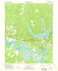
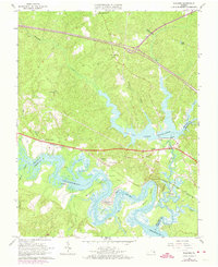
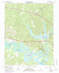
Editions of this 1965 Walkers Map
4 editions found
Other maps of this area

1917 · Toano
USGS Topo · 1:62,500

1918 · Charles City
USGS Topo · 1:62,500

1918 · Toano
USGS Topo · 1:62,500

1919 · New Kent
USGS Topo · 1:62,500

1920 · King William
USGS Topo · 1:62,500

1943 · Richmond
USGS Topo · 1:250,000

1949 · Tunstall
USGS Topo · 1:24,000

1949 · New Kent
USGS Topo · 1:24,000

1949 · Richmond
USGS Topo · 1:250,000

1950 · West Point
USGS Topo · 1:24,000