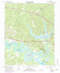
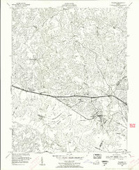
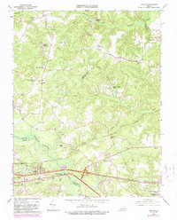
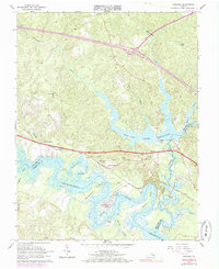
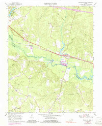
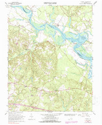
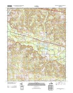
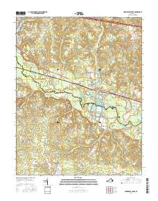
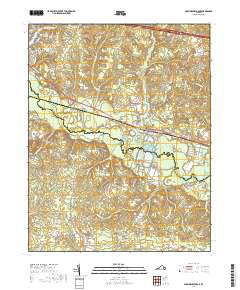
1965 Map of Walkers
USGS Topo · Published 1983About this map
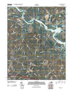
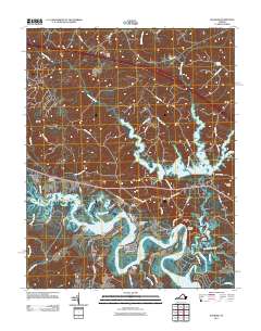
The Chickahominy River snakes through the tidal marshlands of New Kent and Charles City counties, defining a landscape of deep necks and historic river access. Along its banks, Matahunk Neck and Wilcox Neck dominate the river's winding path, while established riverfront communities like Chickahominy Shores and landings such as Osborn Landing and Fish Hole Landing highlight the region's long-standing connection to the water. The interior is characterized by the expansive Diascund Creek Reservoir, which feeds into the river system near Lanexa.
Find a feature on this map
42 named features on this map. Tap any name to fly to it.
Don’t see what you’re looking for? This feature index may not catch every label — zoom into the map to look around manually.
Map Details
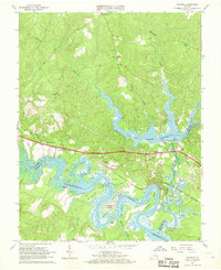
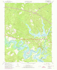
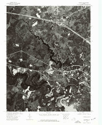
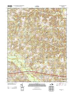
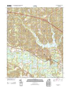
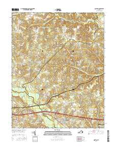
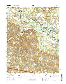
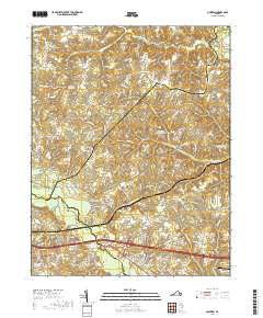
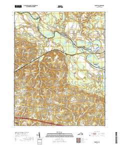
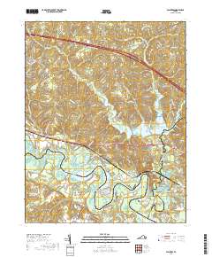
Editions of this 1965 Walkers Map
4 editions found
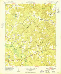
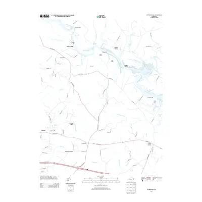
Historical Maps of Lanexa Through Time
32 maps found
1949 Quinton
New Kent County, VA

1949 Tunstall
New Kent County, VA

1953 Providence Forge
New Kent County, VA
1953 Walkers
New Kent County, VA
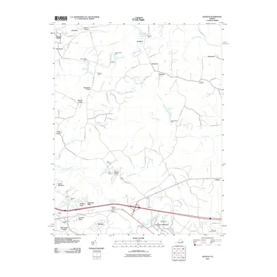
1965 Quinton
New Kent County, VA
1965 Walkers
New Kent County, VA
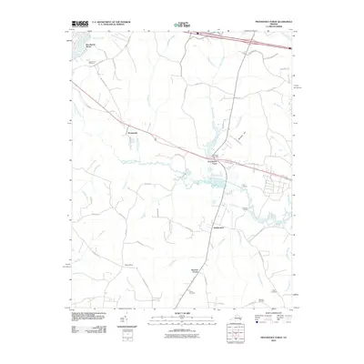
1966 Providence Forge
New Kent County, VA
1966 Tunstall
New Kent County, VA
1973 Walkers
New Kent County, VA
1974 Providence Forge
New Kent County, VA
1974 Quinton
New Kent County, VA

1974 Tunstall
New Kent County, VA
2010 Providence Forge
New Kent County, VA
2010 Quinton
New Kent County, VA
2010 Tunstall
New Kent County, VA
2011 Walkers
New Kent County, VA
2013 Providence Forge
New Kent County, VA
2013 Quinton
New Kent County, VA
2013 Tunstall
New Kent County, VA
2013 Walkers
New Kent County, VA
2016 Providence Forge
New Kent County, VA
2016 Quinton
New Kent County, VA
2016 Tunstall
New Kent County, VA
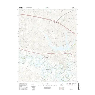
2016 Walkers
New Kent County, VA
2019 Providence Forge
New Kent County, VA
2019 Quinton
New Kent County, VA
2019 Tunstall
New Kent County, VA
2019 Walkers
New Kent County, VA
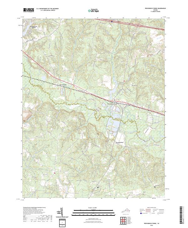
2022 Providence Forge
New Kent County, VA
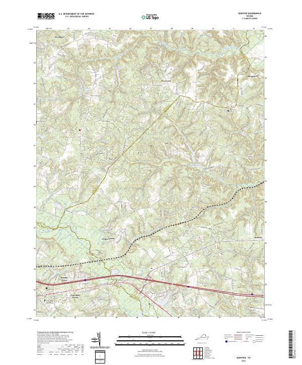
2022 Quinton
New Kent County, VA
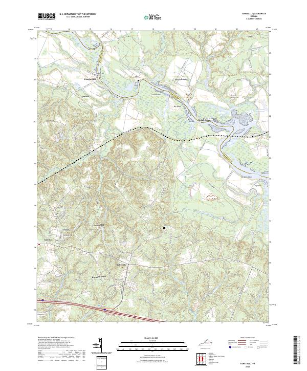
2022 Tunstall
New Kent County, VA
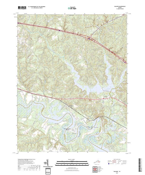
2022 Walkers
New Kent County, VA