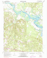
1966 Map of Tunstall
USGS Topo · Published 1988About this map
The Pamunkey Indian Reservation occupies a prominent bend in the Pamunkey River on this mid-1960s survey of New Kent and King William counties. The landscape is defined by the winding river and its extensive tidal flats, including Little Island and Matton Island. Transportation and commerce are centered around the Southern railroad line, which connects several local hubs including Tunstall Station and the historic river landing at White House.
Find a feature on this map
60 named features on this map. Tap any name to fly to it.
Don’t see what you’re looking for? This feature index may not catch every label — zoom into the map to look around manually.
Map Details
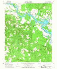
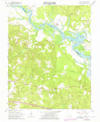
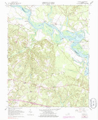
Editions of this 1966 Tunstall Map
4 editions found
Other maps of this area

1917 · Toano
USGS Topo · 1:62,500

1918 · Charles City
USGS Topo · 1:62,500

1918 · Toano
USGS Topo · 1:62,500

1919 · New Kent
USGS Topo · 1:62,500

1920 · King William
USGS Topo · 1:62,500

1943 · Richmond
USGS Topo · 1:250,000
1949 · King William
USGS Topo · 1:24,000
1949 · Quinton
USGS Topo · 1:24,000
1949 · King And Queen
USGS Topo · 1:24,000

1949 · Tunstall
USGS Topo · 1:24,000