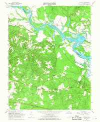
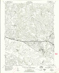
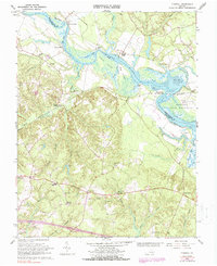
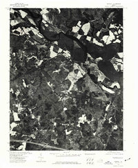
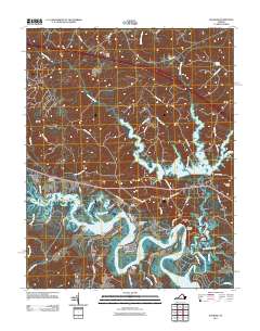
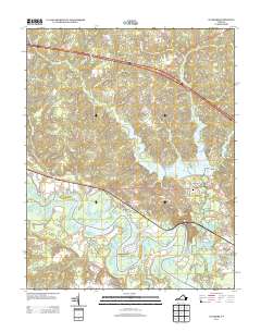
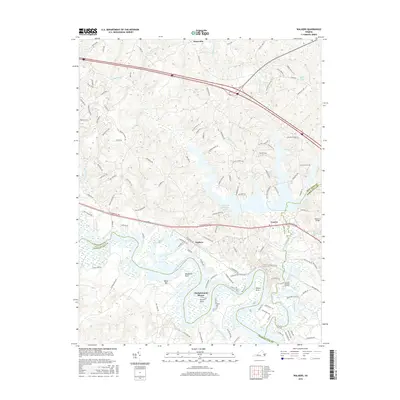
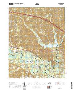
1966 Map of Tunstall
USGS Topo · Published 1968About this map
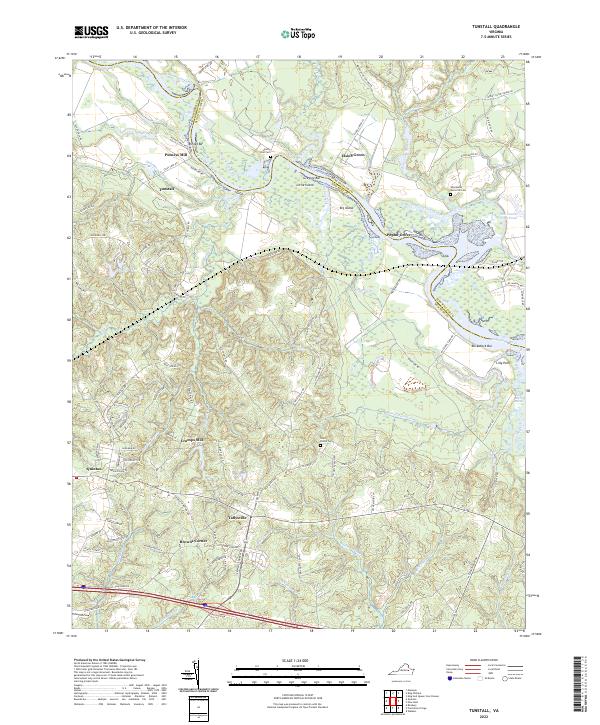
The Pamunkey River winds through this coastal plain landscape, defining the border between King William and New Kent counties and framing the Pamunkey Indian Reservation. This mid-1960s environment is characterized by extensive tidal marshlands and complex drainage systems like Polkwest Creek and Beus Swamp. The influence of the Southern railroad is evident at Tunstall Station, reflecting a period when rail and river access still shaped local commerce and connectivity.
Find a feature on this map
59 named features on this map. Tap any name to fly to it.
Don’t see what you’re looking for? This feature index may not catch every label — zoom into the map to look around manually.
Map Details
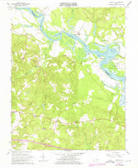
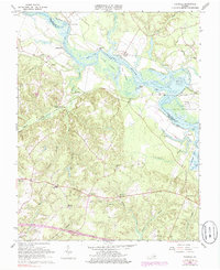
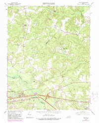
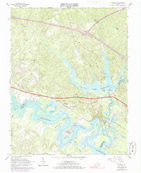
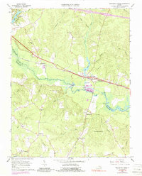
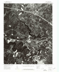
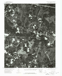
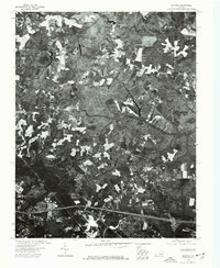
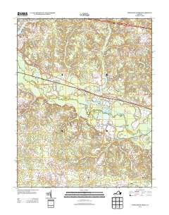
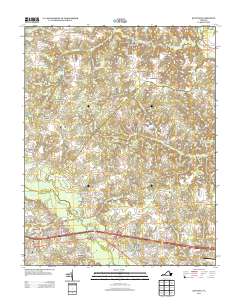
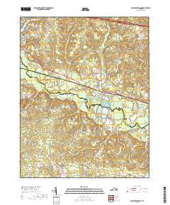
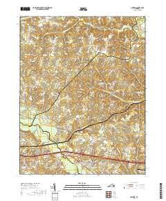
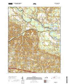
Editions of this 1966 Tunstall Map
4 editions found
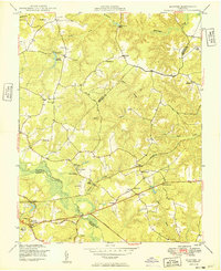
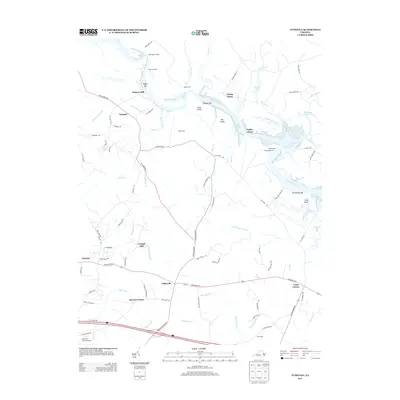
Historical Maps of Carps Corner Through Time
32 maps found
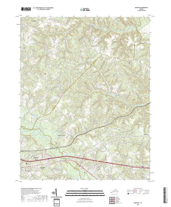
1949 Quinton
New Kent County, VA

1949 Tunstall
New Kent County, VA

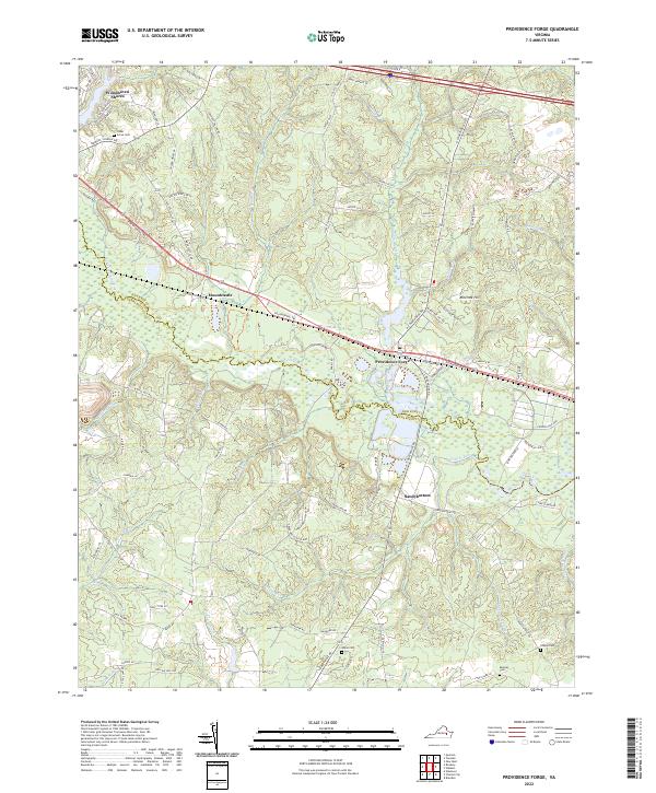
1953 Providence Forge
New Kent County, VA
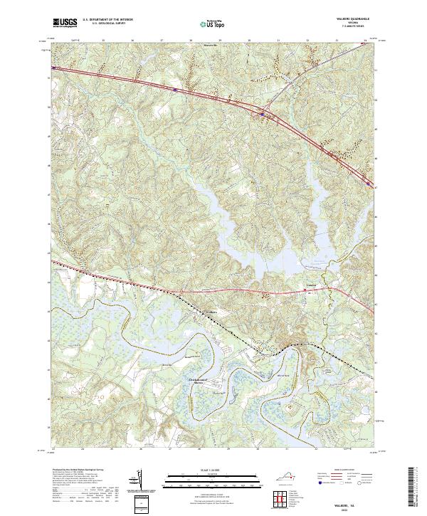
1953 Walkers
New Kent County, VA
1965 Quinton
New Kent County, VA
1965 Walkers
New Kent County, VA
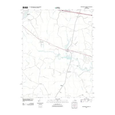
1966 Providence Forge
New Kent County, VA
1966 Tunstall
New Kent County, VA
1973 Walkers
New Kent County, VA
1974 Providence Forge
New Kent County, VA
1974 Quinton
New Kent County, VA
1974 Tunstall
New Kent County, VA
2010 Providence Forge
New Kent County, VA
2010 Quinton
New Kent County, VA
2010 Tunstall
New Kent County, VA
2011 Walkers
New Kent County, VA
2013 Providence Forge
New Kent County, VA
2013 Quinton
New Kent County, VA
2013 Tunstall
New Kent County, VA
2013 Walkers
New Kent County, VA
2016 Providence Forge
New Kent County, VA
2016 Quinton
New Kent County, VA
2016 Tunstall
New Kent County, VA
2016 Walkers
New Kent County, VA
2019 Providence Forge
New Kent County, VA
2019 Quinton
New Kent County, VA
2019 Tunstall
New Kent County, VA
2019 Walkers
New Kent County, VA
2022 Providence Forge
New Kent County, VA
2022 Quinton
New Kent County, VA
2022 Tunstall
New Kent County, VA
2022 Walkers
New Kent County, VA