2010s Maps of Highland County, Virginia
Explore 60 historic maps of Highland County from the 2010s. These maps offer a rare glimpse into what life looked like during the 2010s — showing old roads, neighborhoods, homes, and landmarks that have changed or disappeared over time.
Whether you're researching your family's past, planning a metal detecting trip, or studying how Highland County's landscape evolved across the 2010s, these high-resolution maps are a powerful tool for exploring the history of this region.
- Focus on a specific era: All maps on this page are from the 2010s, giving you a focused view of this time period.
- See what’s changed: Compare century-old streets, trails, and buildings to today's modern landscape using overlays and satellite layers.
- Research with precision: Use these maps for genealogy, historical research, land use analysis, or educational projects.
- View, download, or print: Maps are fully viewable online in high resolution, and can be downloaded or printed for your own records.
Start exploring Highland County's history through authentic maps from the 2010s. This is your window into the past.
Highland County, VA maps
(60)- 2011 Map of Monterey, 2011 Print
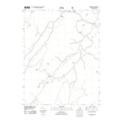 2011 Monterey2011 Print · USGSHighland County at the turn of the decade remains a landscape of high ridges and narrow valleys centered on the village of Monterey. Researchers can trace the rural road networks and historic watercourses that connect New Hampden, Doe Hill, and the unique volcanic peak of Trimble Knob.
 - 2011 Map of Thornwood, 2011 Print
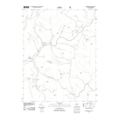 2011 Thornwood2011 Print · USGSThe West Virginia highlands near the Virginia border come into focus in the early 2000s, showing a landscape of high ridges and protected river forks. Researchers can trace local landmarks like Camp Pocahontas, the Buffalo Fork Dam, and the winding East Fork Greenbrier River.
 - 2011 Map of Doe Hill, 2011 Print
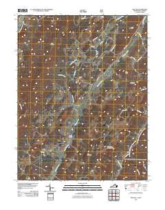 2011 Doe Hill2011 Print · USGSHighland County’s high valleys and mountain ridges are captured here in the early twenty-first century, showing a landscape defined by its rivers. Researchers can trace historic family landmarks like Totten Cemetery and Sirons Mill or follow the paths of the Bullpasture River and Blackthorn Creek.
 - 2011 Map of Mustoe, 2011 Print
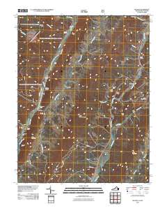 2011 Mustoe2011 Print · USGSHighland County mountain communities come into focus in the early twenty-first century as they follow the contours of the Jackson River. Researchers can locate family landmarks like Fairview Cemetery or trace the narrow passes through Mill Gap and Vanderpool Gap.
 - 2011 Map of Snowy Mountain, 2011 Print
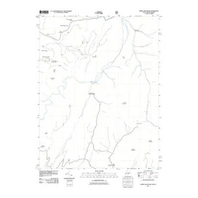 2011 Snowy Mountain2011 Print · USGSThe West Virginia and Virginia borderlands come into focus in the early 2000s, showing the high-elevation settlements of the Potomac highlands. Researchers can trace family history through the Blue Grass Cemetery or locate old homesteads near Hardscrabble and Devils Backbone.
 - 2011 Map of Palo Alto, 2011 Print
 2011 Palo Alto2011 Print · USGSThe mountain valleys near Palo Alto at the turn of the decade reveal a landscape of deep hollows and high ridges. Genealogists can trace family-named locations like Huffman Hollow, Sinclair Hollow, and landmarks such as Rock Lick Spring.
 - 2011 Map of Paddy Knob, 2011 Print
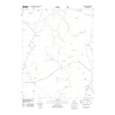 2011 Paddy Knob2011 Print · USGSThe Virginia and West Virginia state line cuts across this highland terrain as it appeared in the early 2000s. Researchers can locate numerous family burial sites such as Lindsay Cemetery and Gragg Cemetery or trace the high peaks at Paddy Knob.
 - 2011 Map of Hightown, 2011 Print
 2011 Hightown2011 Print · USGSHighland County terrain at the start of the 2010s reveals a landscape defined by the Eastern Continental Divide and early Appalachian settlements. Genealogists and hikers can trace family names at Mount Hobart Cemetery or explore the gap at Hightown near the headwaters of the Jackson River.
 - 2011 Map of Sunrise, 2011 Print
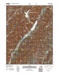 2011 Sunrise2011 Print · USGSIn the early twenty-first century, the mountain valleys of Bath County remained centered on the waters of Back Creek. Local researchers can trace family sites like Sively Cemetery and Lightner Cemetery or explore landmarks like Fodder House and Sunrise.
 - 2011 Map of McDowell, 2011 Print
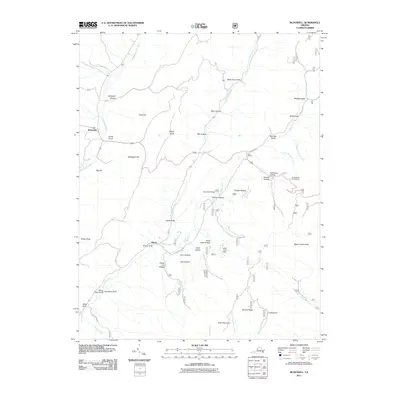 2011 McDowell2011 Print · USGSHighland County’s mountain ridges and valley settlements are captured here in the early twenty-first century. Researchers can trace the heritage of the region through landmarks like the Confederate Breastworks, Signal Corps Knob, and the village of McDowell.
 - 2011 Map of Williamsville, 2011 Print
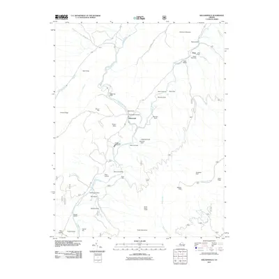 2011 Williamsville2011 Print · USGSBath County in the early twenty-first century reveals a landscape defined by its river valleys and mountain gaps. Genealogists and hikers can trace the terrain around Williamsville, the Coursey Springs State Fish Hatchery, and Bullpasture Gorge.
 - 2011 Map of West Augusta, 2011 Print
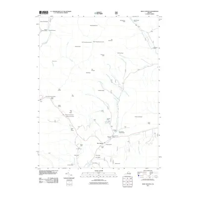 2011 West Augusta2011 Print · USGSWest Augusta and the surrounding Virginia highlands are mapped here in the early twenty-first century, showing a landscape of deep hollows and high knobs. Researchers can locate West Augusta Cemetery, trace the Calfpasture River headwaters, and find landmarks like Braley Pond and Camp Todd.
 - 2011 Map of Monterey SE, 2011 Print
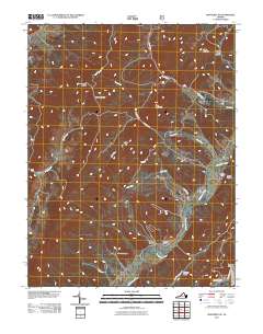 2011 Monterey SE2011 Print · USGSHighland County's high ridges and river valleys are captured here in the early twenty-first century, showing a landscape of small settlements and named hollows. Researchers can trace family-named landmarks like Hupman Valley, find remote mountain points such as Sounding Knob, and locate old sites near Clover Creek.
 - 2011 Map of Deerfield, 2011 Print
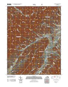 2011 Deerfield2011 Print · USGSAugusta County remains a deeply rural landscape of river valleys and mountain ridges at the start of the 21st century. Researchers can trace local heritage and land use through landmarks like Mount Mary Cemetery, the Ruleman Turkey Farm, and the small settlement of Marble Valley.
 - 2011 Map of Burnsville, 2011 Print
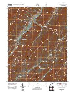 2011 Burnsville2011 Print · USGSBath County at the start of the 2010s shows a landscape of deep valleys and family history tied to the Jackson River. Researchers can locate several burial grounds, including Big Valley Cemetery, and landmarks like the Duncan Knob Lookout.
 - 2013 Map of Burnsville, 2013 Print
 2013 Burnsville2013 Print · USGSBath County’s ridge-and-valley landscape is documented here in the early twenty-first century, showing the enduring rural settlements of the Virginia highlands. Researchers can locate Singleton Airport, the Duncan Knob Lookout, and family landmarks like Daggy Hollow and Stillhouse Hollow.
 - 2013 Map of West Augusta, 2013 Print
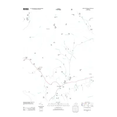 2013 West Augusta2013 Print · USGSThe West Augusta highlands in 2013 are presented here with exceptional clarity, detailing a landscape of steep ridges and deep mountain drafts. Local history researchers can trace old family-named landmarks like Stillhouse Hollow, Georgia Camp Hollow, and the remote Sexton Shelter.
 - 2013 Map of Monterey SE, 2013 Print
 2013 Monterey SE2013 Print · USGSHighland County’s high ridges and river valleys are captured here in the early twenty-first century as the landscape remains largely rural. Genealogists and hikers can trace the paths around Clover Creek, Jack Mountain, and the winding Bullpasture River.
 - 2013 Map of Monterey, 2013 Print
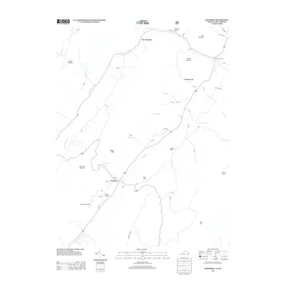 2013 Monterey2013 Print · USGSHighland County’s mountain valleys are captured in the early twenty-first century, showing the enduring rural character of these high-elevation communities. Researchers can trace the village layouts of Monterey and New Hampden or locate landmarks like Hannah Field Airport and Trimble Knob.
 - 2013 Map of Hightown, 2013 Print
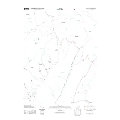 2013 Hightown2013 Print · USGSHighland County’s mountain ridges and headwaters are captured here at the start of the twenty-first century, where the Eastern Continental Divide shapes the landscape. Researchers can trace early mountain routes like Old Pike Rd and locate high-altitude landmarks such as Hightown, Bear Mountain, and Vanderpool Gap.
 - 2013 Map of Deerfield, 2013 Print
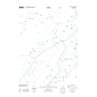 2013 Deerfield2013 Print · USGSAugusta County’s valley and ridge landscape is documented here in the early twenty-first century, centered on the settlements of Deerfield and Marble Valley. Researchers can trace old family landforms from Walker Mountain to Kiser Hollow and find agricultural sites like the Ruleman Turkey Farm.
 - 2013 Map of McDowell, 2013 Print
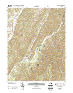 2013 McDowell2013 Print · USGSThe highland valleys and ridges of western Virginia are mapped here in the early twenty-first century. Genealogists and historians can locate family-named landmarks like Sittlington Hill and Jenny Gwin Draft, or trace the location of the Confederate Breastworks.
 - 2013 Map of Williamsville, 2013 Print
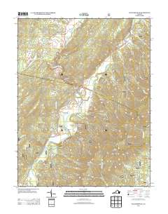 2013 Williamsville2013 Print · USGSBath County's river valleys and mountain ridges are captured here in the early twenty-first century. Genealogists and hikers can trace family-named landmarks like McCrays Draft and Ratcliff Hill or locate the Coursey Springs State Fish Hatchery.
 - 2013 Map of Palo Alto, 2013 Print
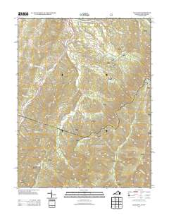 2013 Palo Alto2013 Print · USGSHighland County and the West Virginia borderlands are shown here in the early twenty-first century, a region of high ridges and deep hollows. Researchers can trace family-named terrain like Huffman Hollow and remote water sources including Warren Rexrode Spring and Puffenbarger Pond.
 - 2013 Map of Mustoe, 2013 Print
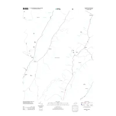 2013 Mustoe2013 Print · USGSHighland County's high ridges and river valleys are captured here in the early twenty-first century, centered on the settlements of Mustoe and Vanderpool. Local researchers can trace family-named terrain like Ruckman Draft, Sues Draft, and Dixon Hills along the Jackson River.
Showing maps 1-25 of 60
Top cities of Highland County
Frequently asked questions
- What are the different types of historical maps available for Highland County?
- What is the oldest map of Highland County?
- Where can I purchase historical maps of Highland County for my home or office?
- Where can I download high-res historical maps of Highland County?
- Are there historical topographic maps available for Highland County?
- Is there historical aerial imagery available for Highland County?
- Where are historical maps of Highland County sourced from?