2000s (21st Century) Maps of Louisa County, Virginia
Explore 100 historic maps of Louisa County from the 2000s (21st Century). These maps offer a rare glimpse into what life looked like during the 2000s — showing old roads, neighborhoods, homes, and landmarks that have changed or disappeared over time.
Whether you're researching your family's past, planning a metal detecting trip, or studying how Louisa County's landscape evolved across the 2000s, these high-resolution maps are a powerful tool for exploring the history of this region.
- Focus on a specific era: All maps on this page are from the 2000s, giving you a focused view of this time period.
- See what’s changed: Compare century-old streets, trails, and buildings to today's modern landscape using overlays and satellite layers.
- Research with precision: Use these maps for genealogy, historical research, land use analysis, or educational projects.
- View, download, or print: Maps are fully viewable online in high resolution, and can be downloaded or printed for your own records.
Start exploring Louisa County's history through authentic maps from the 2000s. This is your window into the past.
Louisa County, VA maps
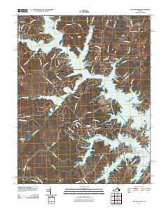
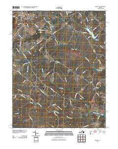
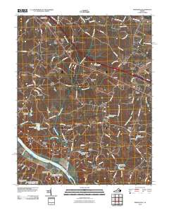
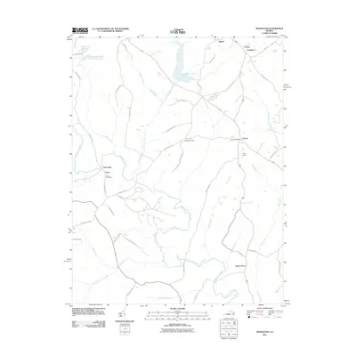
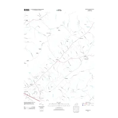
(100)- 2010 Map of Zion Crossroads, 2010 Print
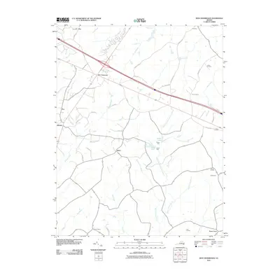 2010 Zion Crossroads2010 Print · USGSCovers Louisa County, including Zion, Troy, and other nearby areas
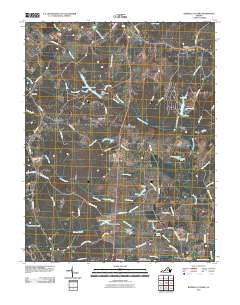
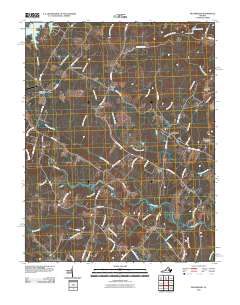
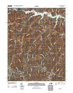
 - 2010 Map of Boyd Tavern, 2010 Print
 2010 Boyd Tavern2010 Print · USGSCovers Louisa County, including Lake Monticello, Rivanna, and other nearby areas
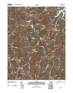
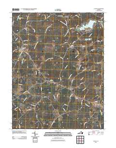
 - 2010 Map of Caledonia, 2010 Print
 2010 Caledonia2010 Print · USGSCovers Louisa County, including Shannon Hill Farms, Georges Landing, and other nearby areas
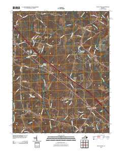
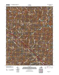
 - 2010 Map of Lake Anna East, 2010 Print
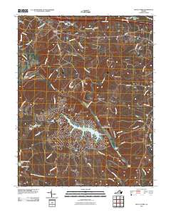
 2010 Lake Anna East2010 Print · USGSCovers Louisa County, including Levy, Gatewood, and other nearby areas
 - 2010 Map of Lake Anna West, 2010 Print
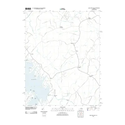
 2010 Lake Anna West2010 Print · USGSCovers Louisa County, including Glenora, Centreville, and other nearby areas
 - 2010 Map of Lahore, 2010 Print
 2010 Lahore2010 Print · USGSCovers Louisa County, including Dan, Lahore, and other nearby areas
 - 2010 Map of Gordonsville, 2010 Print
 2010 Gordonsville2010 Print · USGSCovers Louisa County, including Orange, Gordonsville, and other nearby areas
 - 2010 Map of Keswick, 2010 Print
 2010 Keswick2010 Print · USGSCovers Louisa County, including Rivanna, Keswick, and other nearby areas
 - 2010 Map of Orange, 2010 Print
 2010 Orange2010 Print · USGSCovers Louisa County, including Orange, Orange County, and other nearby areas
 - 2010 Map of Boswells Tavern, 2010 Print
 2010 Boswells Tavern2010 Print · USGSCovers Louisa County, including Medlock, Waldrop, and other nearby areas
 - 2010 Map of Dabneys, 2010 Print
 2010 Dabneys2010 Print · USGSCovers Louisa County, including Dabneys, Jackson, and other nearby areas
 - 2010 Map of Montpelier, 2010 Print
 2010 Montpelier2010 Print · USGSCovers Louisa County, including Gouldin, Lone Oak, and other nearby areas
 - 2010 Map of Perkinsville, 2010 Print
 2010 Perkinsville2010 Print · USGSCovers Louisa County, including Amber Lake, Crozier, and other nearby areas
 - 2010 Map of Beaverdam, 2010 Print
 2010 Beaverdam2010 Print · USGSCovers Louisa County, including Greenes Corner, Old Bandana, and other nearby areas
 - 2010 Map of Buckner, 2010 Print
 2010 Buckner2010 Print · USGSCovers Louisa County, including Gardners Crossroads, Buckner, and other nearby areas
 - 2010 Map of South Anna, 2010 Print
 2010 South Anna2010 Print · USGSCovers Louisa County, including Gum Spring, South Anna, and other nearby areas
 - 2011 Map of Pendleton, 2011 Print
 2011 Pendleton2011 Print · USGSCovers Louisa County, including Mineral, Cuckoo, and other nearby areas
 - 2011 Map of Mineral, 2011 Print
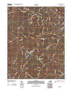
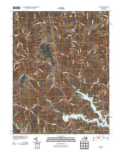
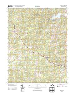
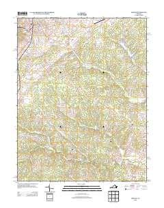
 2011 Mineral2011 Print · USGSCovers Louisa County, including Louisa, Mineral, and other nearby areas
 - 2011 Map of Louisa, 2011 Print
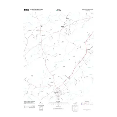
 2011 Louisa2011 Print · USGSCovers Louisa County, including Louisa, Blue Ridge Shores, and other nearby areas
 - 2011 Map of Ferncliff, 2011 Print
 2011 Ferncliff2011 Print · USGSCovers Louisa County, including Ferncliff, Shannon Hills, and other nearby areas
 - 2013 Map of Keswick, 2013 Print
 2013 Keswick2013 Print · USGSCovers Louisa County, including Rivanna, Keswick, and other nearby areas
 - 2013 Map of Louisa, 2013 Print
 2013 Louisa2013 Print · USGSCovers Louisa County, including Louisa, Blue Ridge Shores, and other nearby areas
 - 2013 Map of Orange, 2013 Print
 2013 Orange2013 Print · USGSCovers Louisa County, including Orange, Orange County, and other nearby areas
 - 2013 Map of Gordonsville, 2013 Print
 2013 Gordonsville2013 Print · USGSCovers Louisa County, including Orange, Gordonsville, and other nearby areas
 - 2013 Map of Boswells Tavern, 2013 Print
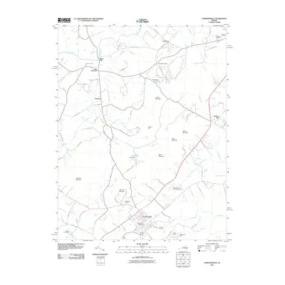
 2013 Boswells Tavern2013 Print · USGSCovers Louisa County, including Medlock, Waldrop, and other nearby areas
Showing maps 1-25 of 100
Top cities of Louisa County
Frequently asked questions
- What are the different types of historical maps available for Louisa County?
- What is the oldest map of Louisa County?
- Where can I purchase historical maps of Louisa County for my home or office?
- Where can I download high-res historical maps of Louisa County?
- Are there historical topographic maps available for Louisa County?
- Is there historical aerial imagery available for Louisa County?
- Where are historical maps of Louisa County sourced from?