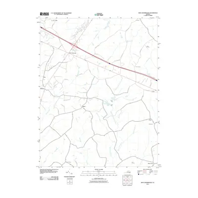
2010 Map of Zion Crossroads
USGS Topo · Published 2010About this map
Zion Crossroads serves as a central hub in this portion of rural Virginia, where interstate infrastructure meets a landscape deeply rooted in family-named landmarks and traditional commerce. The map documents several legacy commercial sites including Hensons Store, Jordans Store, and Vanceys Store, reflecting a settlement pattern where local trade centered around specific families and road junctions. This transition from older post office locations like Zion Post Office to modern thoroughfares illustrates the evolution of the county's transportation network.
Find a feature on this map
49 named features on this map. Tap any name to fly to it.
Don’t see what you’re looking for? This feature index may not catch every label — zoom into the map to look around manually.
Map Details
Editions of this 2010 Zion Crossroads Map
This is the sole edition of this map. No revisions or reprints were ever made.
Other maps of this area

1891 · Palmyra
USGS Topo · 1:125,000

1892 · Gordonsville
USGS Topo · 1:125,000

1895 · Palmyra
USGS Topo · 1:125,000

1897 · Palmyra
USGS Topo · 1:125,000

1935 · Charlottesville
USGS Topo · 1:62,500

1939 · Charlottesville
USGS Topo · 1:62,500

1943 · Scottsville
USGS Topo · 1:62,500

1946 · Scottsville
USGS Topo · 1:62,500

1947 · Roanoke
USGS Topo · 1:250,000

1949 · Charlottesville
USGS Topo · 1:250,000