2010s Maps of Louisa County, Virginia
Explore 80 historic maps of Louisa County from the 2010s. These maps offer a rare glimpse into what life looked like during the 2010s — showing old roads, neighborhoods, homes, and landmarks that have changed or disappeared over time.
Whether you're researching your family's past, planning a metal detecting trip, or studying how Louisa County's landscape evolved across the 2010s, these high-resolution maps are a powerful tool for exploring the history of this region.
- Focus on a specific era: All maps on this page are from the 2010s, giving you a focused view of this time period.
- See what’s changed: Compare century-old streets, trails, and buildings to today's modern landscape using overlays and satellite layers.
- Research with precision: Use these maps for genealogy, historical research, land use analysis, or educational projects.
- View, download, or print: Maps are fully viewable online in high resolution, and can be downloaded or printed for your own records.
Start exploring Louisa County's history through authentic maps from the 2010s. This is your window into the past.
Louisa County, VA maps
(80)- 2010 Map of Zion Crossroads, 2010 Print
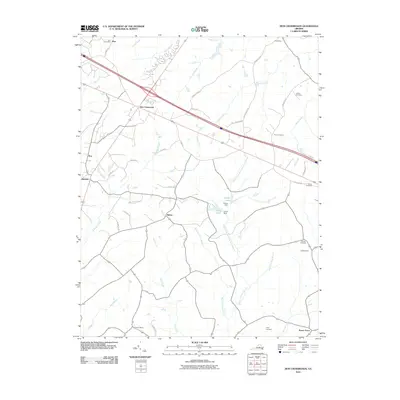 2010 Zion Crossroads2010 Print · USGSZion Crossroads and the surrounding Virginia countryside appear in this survey just as modern infrastructure began to reshape the old rural landscape. Genealogists can trace family heritage through sites like Hensons Store, Kents Store, and the Henson Cemetery.
 - 2010 Map of Boyd Tavern, 2010 Print
 2010 Boyd Tavern2010 Print · USGSFluvanna County at the start of the 2010s shows a landscape of growing lakeside communities and historic Piedmont crossroads. Genealogists and local historians can trace family-named sites and early industrial hubs like Union Mills, Paynes Mill, and Boyd Tavern.
 - 2010 Map of Caledonia, 2010 Print
 2010 Caledonia2010 Print · USGSGoochland County at the turn of the decade is a landscape of established family farms and creek-side settlements. Researchers can trace rural heritage at Payne Cemetery or follow local waterways like Tarred Rat Creek and Little Byrd Creek.
 - 2010 Map of Lake Anna East, 2010 Print
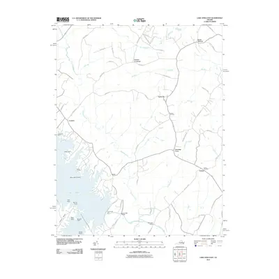 2010 Lake Anna East2010 Print · USGSSpotsylvania County's landscape at the start of the 2010s shows a mix of rural crossroads and the sprawling waters of Lake Anna. Genealogists and local historians can trace family-named sites like Wallers Cemetery, Penneys Crossroad, and the Partlow Post Office.
 - 2010 Map of Lake Anna West, 2010 Print
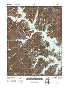 2010 Lake Anna West2010 Print · USGSSpotsylvania County’s shoreline and rural interior are shown here during the early twenty-first century as recreation and residential growth surround Lake Anna. Researchers can locate several legacy sites like Goodhope Cemetery or trace the early paths of Mica Mine Rd and Stage Coach RD.
 - 2010 Map of Lahore, 2010 Print
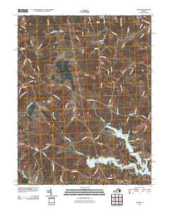 2010 Lahore2010 Print · USGSVirginia's crossroads communities and the developing shoreline of Lake Anna are captured in this early 2000s survey. Genealogists and historians can locate numerous rural burial grounds like Bethel Cemetery or trace the family-named points such as Moores Point and Henrys Point.
 - 2010 Map of Gordonsville, 2010 Print
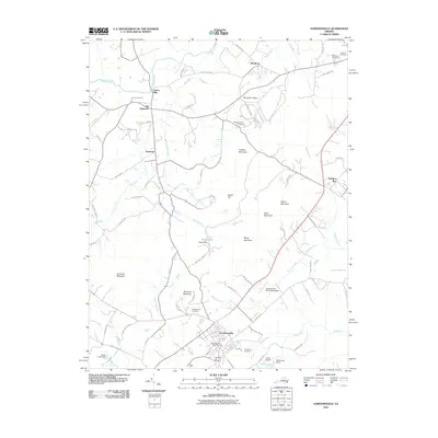 2010 Gordonsville2010 Print · USGSOrange County's Piedmont landscape at the start of the 2010s reveals a blend of historic estates and rural crossroads. Genealogists and historians can trace family sites from James Madison Cemetery and Liberty Mills to the streets of Gordonsville.
 - 2010 Map of Keswick, 2010 Print
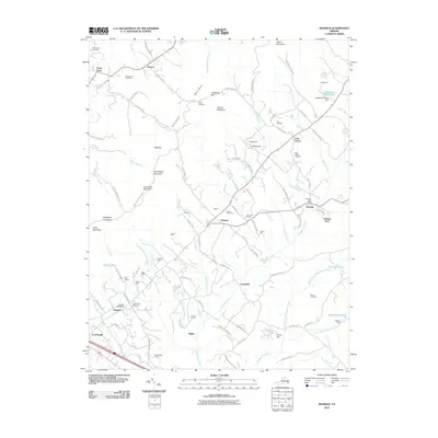 2010 Keswick2010 Print · USGSThe Piedmont estates and historic crossroads of Albemarle County are captured here in the early twenty-first century. Researchers can trace family roots and landholdings through many named sites, including Grace Cemetery, the Cobham Post Office, and the grounds of Castle Hill.
 - 2010 Map of Orange, 2010 Print
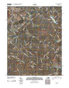 2010 Orange2010 Print · USGSOrange County at the start of the decade reveals a landscape where historic rural crossroads and family homesteads meet modern infrastructure. Genealogists can locate numerous burial sites like Shady Grove Cemetery and Willis Cemetery or trace the North Anna River past Brocks Bridge.
 - 2010 Map of Boswells Tavern, 2010 Print
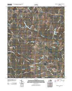 2010 Boswells Tavern2010 Print · USGSLouisa County at the turn of the decade preserves its rural character through traditional crossroads like Boswells Tavern and Waldrop. Researchers can trace local lineage through sites like Watson Cemetery and old hubs including Walkers Mill and Poindexter Post Office.
 - 2010 Map of Dabneys, 2010 Print
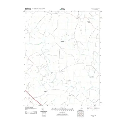 2010 Dabneys2010 Print · USGSLouisa County in the early twenty-first century retains its rural character, centered around the South Anna River and its network of country roads. Researchers can trace historic postal hubs and community landmarks like Dabneys Post Office, Duggins Store, and Sheltons Dam.
 - 2010 Map of Montpelier, 2010 Print
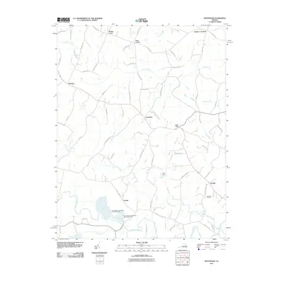 2010 Montpelier2010 Print · USGSHanover County at the start of the 2010s shows a landscape of persistent rural crossroads and modern industry. Researchers can find deep local roots at Saint Peters Cemetery and Gouldin, or trace industrial sites like The Feldspar Corporation Dam Number One.
 - 2010 Map of Perkinsville, 2010 Print
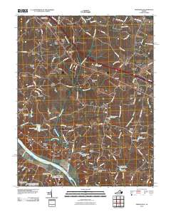 2010 Perkinsville2010 Print · USGSGoochland County, Virginia, is captured in this 2010 study as the suburban landscape meets the historic James River corridor. Researchers can locate the extensive Virginia State Farm, the Crozier Post Office, and established locales like Oilville and Perkinsville.
 - 2010 Map of Beaverdam, 2010 Print
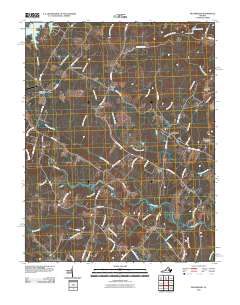 2010 Beaverdam2010 Print · USGSLouisa County’s rural crossroads and watercourses are documented here just after the first decade of the millennium. Genealogists can trace property access and local landmarks from Greenes Corner to Old Bandana, or locate the Bumpass Post Office and Anderson Bridge.
 - 2010 Map of Buckner, 2010 Print
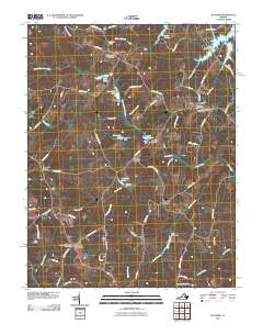 2010 Buckner2010 Print · USGSLouisa County’s rural landscape is captured here in the early twenty-first century, showing a network of historic crossroads and mills. Researchers can trace family sites near Gardners Crossroads, Fredericks Hall, and the old Swifts Mill along the Little River.
 - 2010 Map of South Anna, 2010 Print
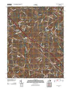 2010 South Anna2010 Print · USGSLouisa County enters the twenty-first century with a blend of historic crossroads and growing residential enclaves. Researchers can trace the layout of traditional routes like Three Chopt Rd near local hubs such as the Gum Spring Post Office and Sandy Hook.
 - 2011 Map of Pendleton, 2011 Print
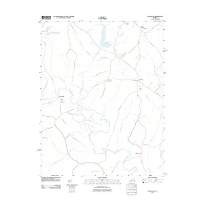 2011 Pendleton2011 Print · USGSLouisa County’s rural crossroads and water systems are documented in detail during the early twenty-first century. Researchers can trace local heritage through specific sites like the Cuckoo Post Office, Goodwins Store, and the banks of the South Anna River.
 - 2011 Map of Mineral, 2011 Print
 2011 Mineral2011 Print · USGSLouisa County at the start of the 2010s shows a landscape defined by the expansive Lake Anna and traditional rural crossroads. Genealogists can trace family connections near Mineral, Wares Crossroads, or Mount Pleasant Church and along the banks of Contrary Creek.
 - 2011 Map of Louisa, 2011 Print
 2011 Louisa2011 Print · USGSLouisa and its surrounding rural countryside are captured here just after the turn of the millennium. Genealogists and historians can trace family locations at Taylor Cemetery, locate old postal hubs like the Trevilians Post Office, or study the shoreline of Lake Louisa.
 - 2011 Map of Ferncliff, 2011 Print
 2011 Ferncliff2011 Print · USGSCentral Virginia’s rural landscape is captured here in the early 2000s, showcasing the traditional crossroads and river networks of Louisa County. Genealogists and historians can locate family landmarks like Grubbs Cemetery, the historic Byrd Mill, and local hubs at Bells Crossroads.
 - 2013 Map of Keswick, 2013 Print
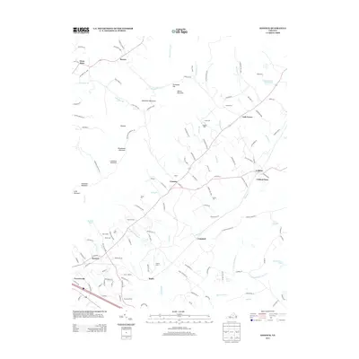 2013 Keswick2013 Print · USGSThe Piedmont countryside near the Southwest Mountains appears here in the early twenty-first century, showing a landscape of storied estates and small communities. Trace historical landholdings and rural landmarks like Castle Hill, Poorhouse Farm, and Merrie Mill.
 - 2013 Map of Louisa, 2013 Print
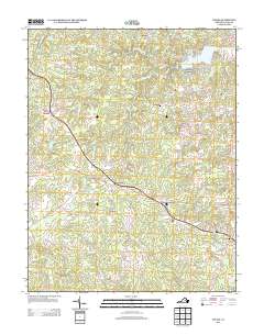 2013 Louisa2013 Print · USGSLouisa and the surrounding Virginia countryside appear in this early twenty-first-century survey during a period of sustained rural character. Researchers can trace family-named lands and routes near Trevilians, Green Springs, and the lakeside homes of Blue Ridge Shores.
 - 2013 Map of Orange, 2013 Print
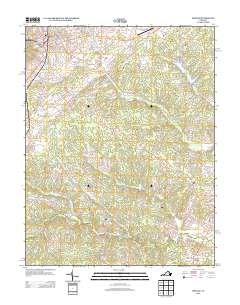 2013 Orange2013 Print · USGSOrange County, Virginia, is shown in the early twenty-first century as a landscape of historic town centers and winding river valleys. Researchers can trace family-named routes and rural landmarks like Brocks Bridge, Mayhurst Ln, and the settlement of Daniel.
 - 2013 Map of Gordonsville, 2013 Print
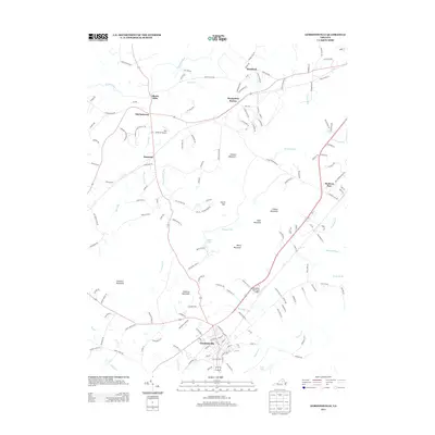 2013 Gordonsville2013 Print · USGSGordonsville and the surrounding Piedmont country are captured here at the start of the 2010s. Researchers can trace historic transport corridors and family-named landmarks like Liberty Mills, Montpelier Station, and the distinctively named Hen & Bacon Airport.
 - 2013 Map of Boswells Tavern, 2013 Print
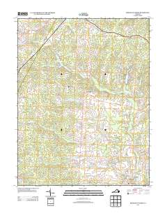 2013 Boswells Tavern2013 Print · USGSThe Piedmont landscape near Boswells Tavern is shown here in the early twenty-first century, centered on the S Anna River drainage. Researchers can trace local landmarks like Walkers Mill, the Green Springs church, and historic crossroads including Waldrop and Poindexter.
Showing maps 1-25 of 80
Top cities of Louisa County
Frequently asked questions
- What are the different types of historical maps available for Louisa County?
- What is the oldest map of Louisa County?
- Where can I purchase historical maps of Louisa County for my home or office?
- Where can I download high-res historical maps of Louisa County?
- Are there historical topographic maps available for Louisa County?
- Is there historical aerial imagery available for Louisa County?
- Where are historical maps of Louisa County sourced from?