Old Maps of Victoria, Virginia for Academic Research
Study the evolution of Victoria with 26 high-resolution historic maps. Whether you're teaching, researching, or modeling changes in land use, these maps provide essential visual documentation of urban, environmental, and geographic change.
- Analyze long-term change: Track patterns in development, transportation, and natural features.
- Ideal for environmental or urban studies: Support academic projects with primary historical map data.
- Use in the classroom or lab: Educators and researchers rely on these maps to bring historical context to life.
These maps are a powerful tool for teaching, research, and visualizing how Victoria has changed over the decades.
Victoria, VA maps
(26)- 1891 Map of Farmville
 1891 Farmville1891 Print · USGSSouth-central Virginia's rail and river networks come alive in the 1890s, centered on the bustling hub of Farmville. Genealogists can trace family roots through old courthouse seats like Cumberland C.H. and vanished stops like Jennings Ordinary or Rice Depot.
 - 1893 Map of Farmville
 1893 Farmville1893 Print · USGSThe Virginia Piedmont at the end of the nineteenth century centers on the rail junction at Farmville and the winding Appomattox River. Genealogists can trace family lands near Hampden Sidney, Guinea Mills, and the old tavern site at Joppings Ordinary.8 unique versions available
 - 1947 Map of Roanoke, 1948 Print
 1947 Roanoke1948 Print · USGSCentral Virginia in the late 1940s reveals a region defined by its great mountain ridges and the powerful river-and-rail economy connecting Roanoke to Lynchburg. Researchers can trace the path of the Virginian RR and locate historic county seats like Charlotte Court House.2 unique versions available
 - 1953 Map of Greensboro, 1981 Print
 1953 Greensboro1981 Print · USGSThe Piedmont borderlands of North Carolina and Virginia show a landscape defined by new reservoirs and old rail lines. Trace family roots and the changing river geography through Elon College, the John H Kerr Reservoir, and South Boston.
 - 1954 Map of Greensboro
 1954 Greensboro1954 Print · USGSThe Piedmont borderlands of North Carolina and Virginia come alive in this mid-fifties study of a region defined by its rivers and rails. Researchers can trace the growing Buggs Island Lake or follow the paths of the Southern Ry and Seaboard Air Line RR through towns like Oxford and Reidsville.
 - 1955 Map of Kenbridge, 1957 Print
 1955 Kenbridge1957 Print · USGSSouthside Virginia's rural heartland thrives in the mid-fifties, shaped by the Virginian railroad and a landscape of crossroads hamlets. Genealogists and local historians can trace family roots through numerous sites like Whittles Mill, St Mark Ch, and Lochleven Sch.
 - 1958 Map of Crewe, 1959 Print
 1958 Crewe1959 Print · USGSNottoway County thrived as a railroad crossroads in the late fifties, centered on the busy rail hubs of Crewe and Burkeville. Researchers can trace old family sites and rural landmarks like the Piedmont Sanatorium, Jennings Ordinary, and Wards Chapel.2 unique versions available
 - 1959 Map of Roanoke
 1959 Roanoke1959 Print · USGSCentral Virginia and the Blue Ridge appear in great detail during the late fifties, showcasing the transition from mountain industry to Piedmont farmland. Trace the path of the Norfolk and Western railroad or find old river towns like Appomattox and Amelia Court House.
 - 1962 Map of Greensboro
 1962 Greensboro1962 Print · USGSThe Piedmont region along the Virginia and North Carolina border comes alive in the early 1960s, showing a landscape defined by industry and new reservoirs. Trace the path of the Virginian RR or explore the early development of Greensboro and Durham.
 - 1963 Map of Roanoke
 1963 Roanoke1963 Print · USGSCentral Virginia and the Blue Ridge front appear here in the early sixties, caught between their deep railroad roots and new postwar developments. Genealogists and historians can trace the rail lines of the Norfolk and Western through towns like Bedford and Altavista, or locate family landmarks near Smith Mountain Lake.
 - 1966 Map of Greensboro
 1966 Greensboro1966 Print · USGSThe North Carolina and Virginia Piedmont thrives during the mid-sixties, showcasing a landscape of textile hubs and expanding river reservoirs. Researchers can trace the rail corridors of the Southern Railway, find local landmarks like Elon College, or locate the extensive Camp Butner Military Reservation.
 - 1966 Map of Kenbridge West, 1968 Print
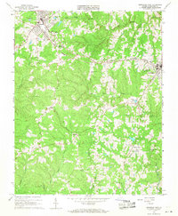 1966 Kenbridge West1968 Print · USGSLunenburg County in the mid-sixties reveals a landscape of tobacco-country towns and rail-connected industry. Genealogists can trace family roots through numerous local landmarks like Oakwood Cem, West Hill Ch, and the rural community of Oral Oaks.3 unique versions available
 - 1968 Map of Rubermont, 1972 Print
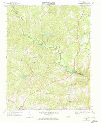 1968 Rubermont1972 Print · USGSLunenburg and Nottoway counties are documented here in the late sixties, showing a rural Virginia landscape shaped by the Nottoway River. Researchers can trace family history through numerous landmarks like Jeffress Store, Mt Olive Ch, and the Norfolk and Western rail corridor.2 unique versions available
 - 1971 Map of Roanoke, 1977 Print
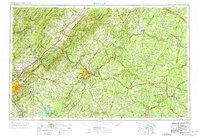 1971 Roanoke1977 Print · USGSThe Virginia Piedmont and Blue Ridge mountains meet in this early 1970s landscape of river valleys and rail hubs. Researchers can trace historic transportation routes and landmarks like the Appomattox Court House Nat Hist Pk, the Peaks of Otter, and Amelia Court House.2 unique versions available
 - 1979 Map of Appomattox, 1982 Print
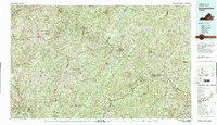 1979 Appomattox1982 Print · USGSSouthside Virginia in the late seventies remains a landscape of historic rail towns and vast state forests. Genealogists and historians can trace the routes of the Norfolk and Western through Farmville or locate ancestral sites near Hampden Sydney and Charlotte Court House.
 - 1984 Map of South Boston, 1985 Print
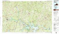 1984 South Boston1985 Print · USGSSouthside Virginia and the northern border of North Carolina are defined by water and rail in the mid-1980s. Genealogists and historians can trace the development of riverside towns like Clarksville or follow the legacy of the Norfolk and Western and Southern railroads through Chase City and Halifax.
 - 2010 Map of Rubermont, 2010 Print
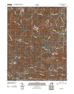 2010 Rubermont2010 Print · USGSLunenburg County at the start of the 2010s shows a quiet landscape of rural crossroads and river bottomlands. Genealogists and local historians can trace the road networks connecting Victoria and Rubermont to landmarks like Saint Marks Cemetery and Martins Corner.
 - 2010 Map of Kenbridge West, 2010 Print
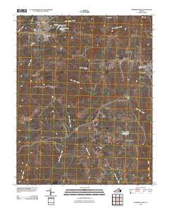 2010 Kenbridge West2010 Print · USGSLunenburg County's rural landscape is captured here in the early twenty-first century, centered on the growing towns of Victoria and Kenbridge. Genealogists and historians can locate family burial sites at Oakwood Cemetery or trace water features like Sneads Pond and Reedy Creek.
 - 2013 Map of Kenbridge West, 2013 Print
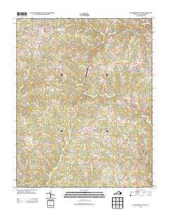 2013 Kenbridge West2013 Print · USGSVictoria and the western outskirts of Kenbridge appear in this 2013 survey of the Virginia Southside landscape. Researchers can trace the rural road networks connecting Oral Oaks and Sneads Corner or locate landmarks like the Lunenburg County Airport.
 - 2013 Map of Rubermont, 2013 Print
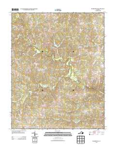 2013 Rubermont2013 Print · USGSLunenburg County in the early twenty-first century reveals a landscape of quiet rural crossroads and historical farmsteads north of the town of Victoria. Local historians can trace the paths of Lewiston Plank Rd and Old School House Rd to locate sites like Martins Corner, The Falls, and Spraggins Dairy Farm.
 - 2016 Map of Kenbridge West, 2016 Print
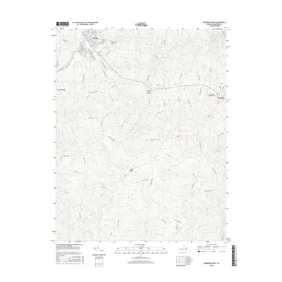 2016 Kenbridge West2016 Print · USGSLunenburg County comes into focus in the mid-2010s, showcasing the transition from the structured streets of Victoria to the surrounding rural landscapes. Researchers can locate family landmarks along Oral Oaks Rd, the community of Oral Oaks, and historic burial sites like Oakwood Cem.
 - 2016 Map of Rubermont, 2016 Print
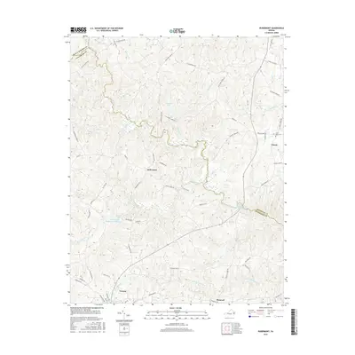 2016 Rubermont2016 Print · USGSVictoria and the surrounding Lunenburg County countryside are documented here in the mid-2010s. Researchers can trace family sites near Saint Marks Cem or follow the waters of the Nottoway River and Victoria Lake Modest Creek Reservoir.
 - 2019 Map of Kenbridge West, 2019 Print
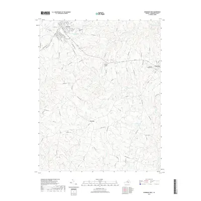 2019 Kenbridge West2019 Print · USGSLunenburg County in the late 2010s reveals a blend of established rail towns and rural crossroads. Genealogists and local historians can trace family locations near Victoria, Oral Oaks, and Lakeview Cem, or locate landmarks like the Lunenburg County Airport.
 - 2019 Map of Rubermont, 2019 Print
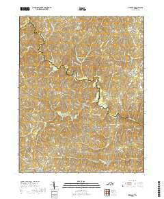 2019 Rubermont2019 Print · USGSLunenburg County in the late 2010s remains a landscape of quiet rural crossroads and deep river bottoms. Researchers can trace family sites near Saint Marks Cem or follow the paths of Lewiston Plank Rd and Old School House Rd into Victoria.
 - 2022 Map of Kenbridge West, 2022 Print
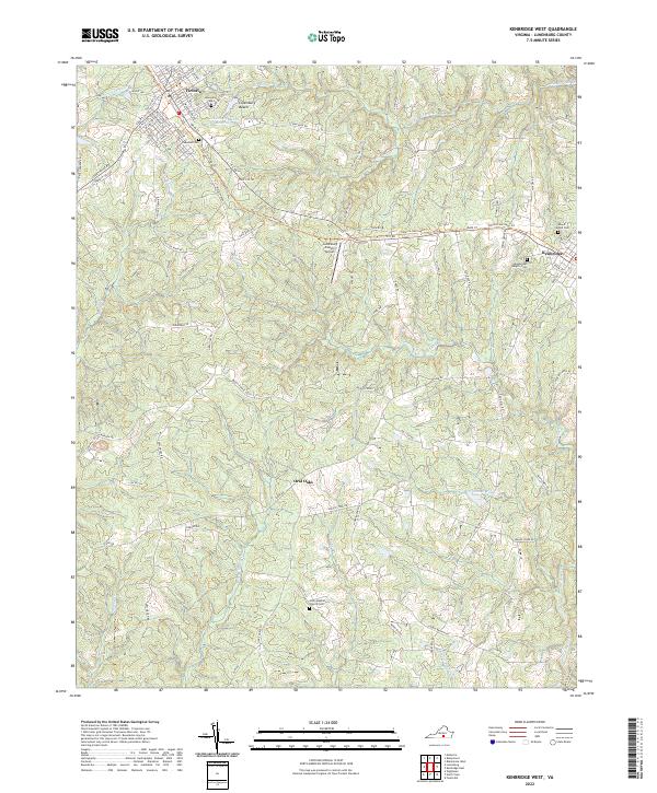 2022 Kenbridge West2022 Print · USGSLunenburg County's rural character is preserved in this contemporary survey of the area between Victoria and Kenbridge. Genealogists and historians can locate several local burial sites like Oakwood Cem and Unity Baptist Church Cem, or trace the winding course of Flat Rock Cr.
Showing maps 1-25 of 26
Top cities near Victoria
- Blackstone historical maps
- Chase City historical maps
- Crewe historical maps
- Kenbridge historical maps
- Burkeville historical maps
- Nottoway historical maps
Frequently asked questions
- What are the different types of historical maps available for Victoria?
- What is the oldest map of Victoria?
- Where can I purchase historical maps of Victoria for my home or office?
- Where can I download high-res historical maps of Victoria?
- Are there historical topographic maps available for Victoria?
- Is there historical aerial imagery available for Victoria?
- Where are historical maps of Victoria sourced from?