2020s Maps of Nelson County, Virginia
Explore 18 historic maps of Nelson County from the 2020s. These maps offer a rare glimpse into what life looked like during the 2020s — showing old roads, neighborhoods, homes, and landmarks that have changed or disappeared over time.
Whether you're researching your family's past, planning a metal detecting trip, or studying how Nelson County's landscape evolved across the 2020s, these high-resolution maps are a powerful tool for exploring the history of this region.
- Focus on a specific era: All maps on this page are from the 2020s, giving you a focused view of this time period.
- See what’s changed: Compare century-old streets, trails, and buildings to today's modern landscape using overlays and satellite layers.
- Research with precision: Use these maps for genealogy, historical research, land use analysis, or educational projects.
- View, download, or print: Maps are fully viewable online in high resolution, and can be downloaded or printed for your own records.
Start exploring Nelson County's history through authentic maps from the 2020s. This is your window into the past.
Nelson County, VA maps
(18)- 2022 Map of Lovingston, 2022 Print
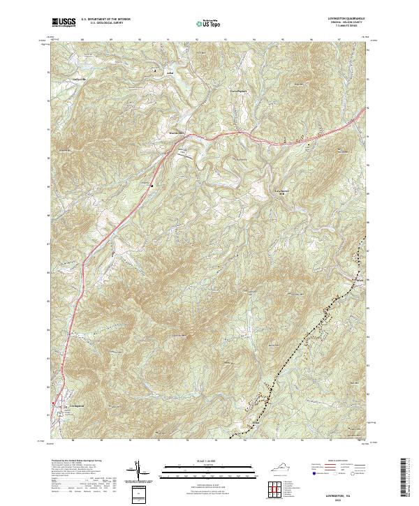 2022 Lovingston2022 Print · USGSIn the heart of Nelson County, this Virginia landscape shows the transition from valley floors to the Blue Ridge foothills. Researchers can trace the layout of the county seat at Lovingston or find rural landmarks like Woods Mill and Adial Cem.
 - 2022 Map of Covesville, 2022 Print
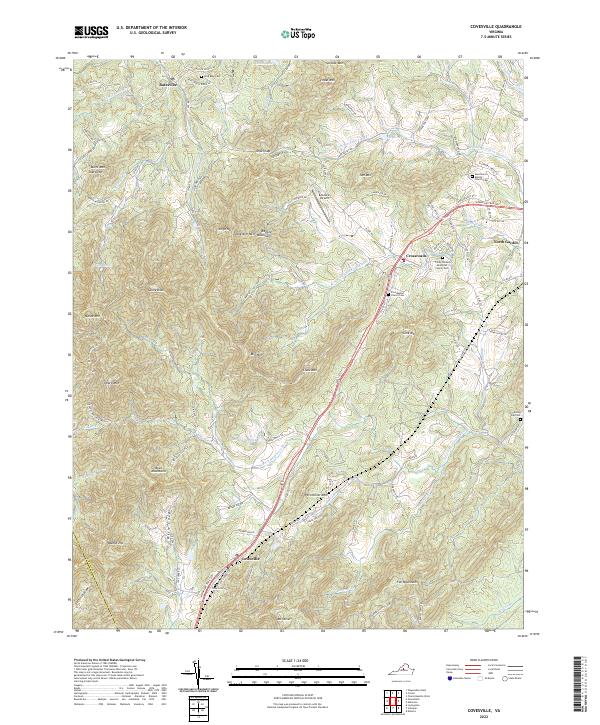 2022 Covesville2022 Print · USGSAlbemarle County settlement and mountain terrain are captured in this recent survey. Local historians can trace family roots at Zion Baptist Church Cem, explore the Ragged Mountains, or locate the historic center of Batesville.
 - 2022 Map of Arrington, 2022 Print
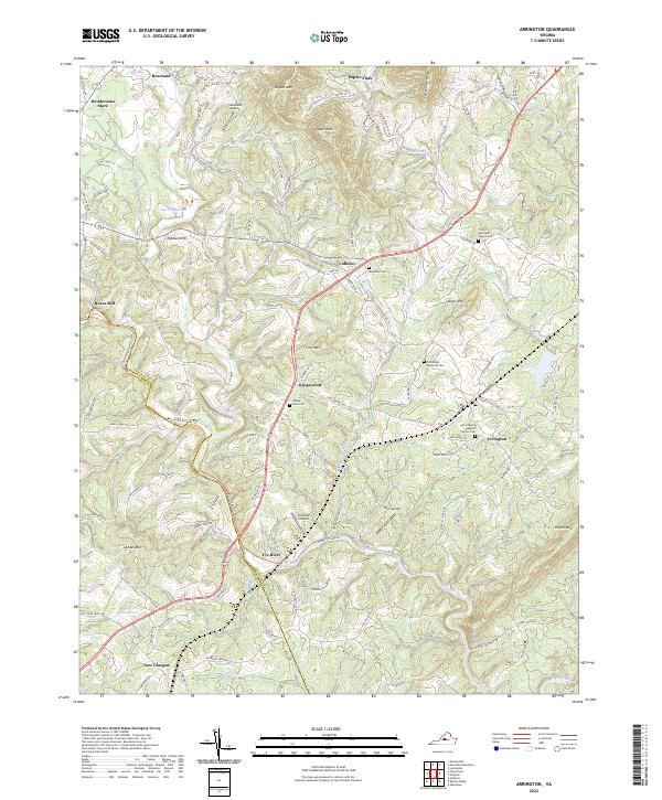 2022 Arrington2022 Print · USGSThe Tye River valley in Nelson County is documented here in the early 2020s, showing a landscape defined by orchards and river crossings. Genealogists can locate family-named landmarks like Woodland Cem and the community of Arrington.
 - 2022 Map of Gladstone, 2022 Print
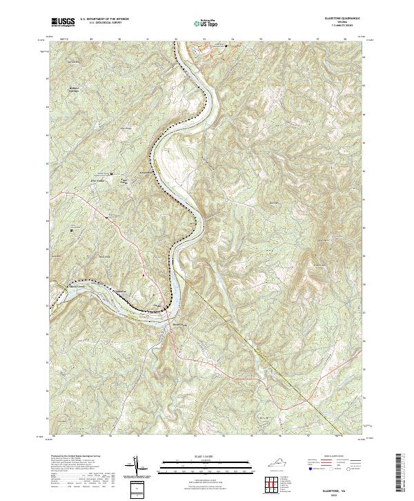 2022 Gladstone2022 Print · USGSThe James River corridor near the intersections of Amherst, Nelson, and Buckingham counties comes into focus in the early 2020s. Genealogists can locate family landmarks like the Tyree Steward Family Cem and traces of rural life at Buffalo Springs or Gladstone.
 - 2022 Map of Howardsville, 2022 Print
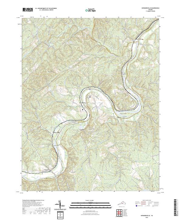 2022 Howardsville2022 Print · USGSThe James River corridor at the meeting of Buckingham, Nelson, and Albemarle counties remains a landscape of river-bend settlements and family landmarks. Researchers can trace the heritage of Howardsville, the grounds of Yogaville, and rural burial sites like Liberty Hall Cem.
 - 2022 Map of Schuyler, 2022 Print
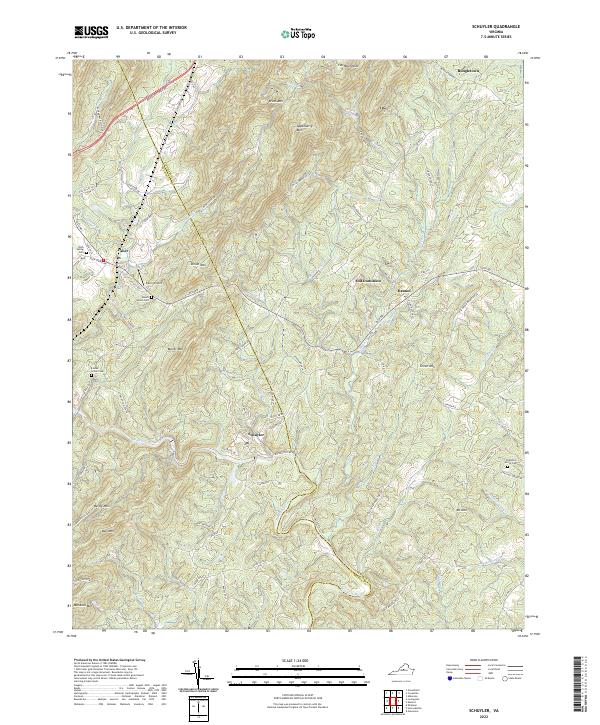 2022 Schuyler2022 Print · USGSThe Nelson County foothills are shown here as they appear today, centering on the historic soapstone area of Schuyler. Genealogists and historians can trace local landmarks like Mount Shiloh Cem and the small settlements of Old Dominion and Faber.
 - 2022 Map of Buffalo Ridge, 2022 Print
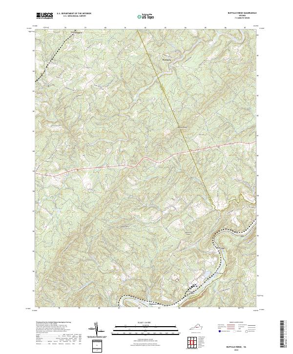 2022 Buffalo Ridge2022 Print · USGSAmherst County at the start of the 2020s shows a landscape of river-bend settlements and named ridges. Genealogists and hikers can trace family-named routes like Grandma's Hill Rd or locate river landmarks such as Walkers Ford and Wreck Island.
 - 2022 Map of Montebello, 2022 Print
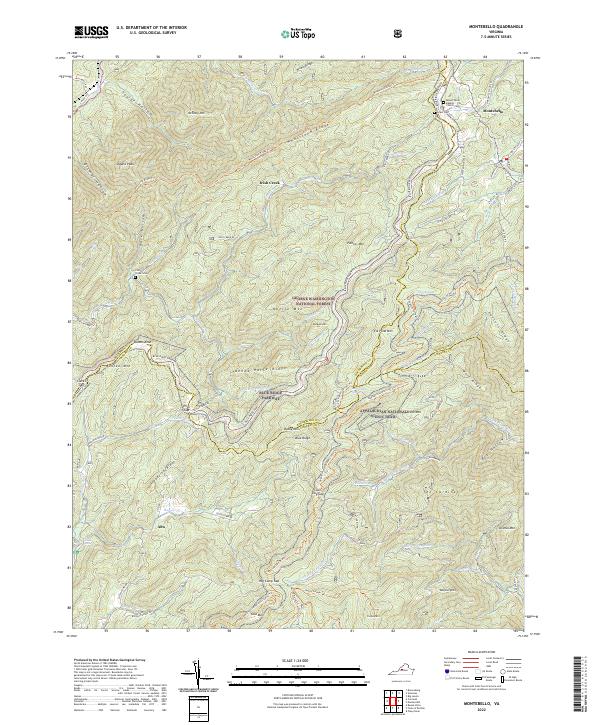 2022 Montebello2022 Print · USGSThe high ridges of the Blue Ridge Mountains come into focus here in the 2020s, showing the intersection of three Virginia counties. Genealogists and hikers can trace the Appalachian Trail past Montebello and locate burial grounds like Irish Creek Cem or Grant Cem.
 - 2022 Map of Shipman, 2022 Print
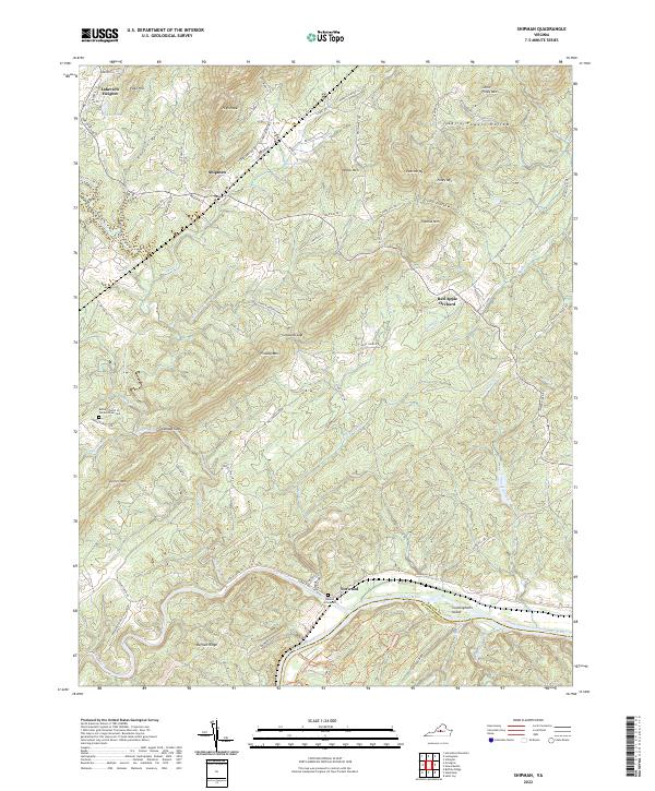 2022 Shipman2022 Print · USGSNelson County's riverfront and mountain gaps are documented in this recent survey of the James and Tye River valleys. Researchers can locate family landmarks like Denton Graveyard, the Bethel Church of the Brethren Cem, and the community of Shipman.
 - 2022 Map of Sherando, 2022 Print
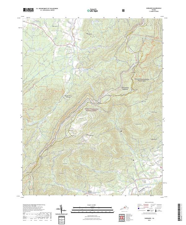 2022 Sherando2022 Print · USGSThe Blue Ridge high country of Augusta and Nelson Counties is shown here in the contemporary era, where wilderness and modern recreation meet. Researchers can trace historic sites like Mount Torry Furnace alongside Diamond Hill Cem and the Rockfish Airpark in the valley.
 - 2022 Map of Waynesboro East, 2022 Print
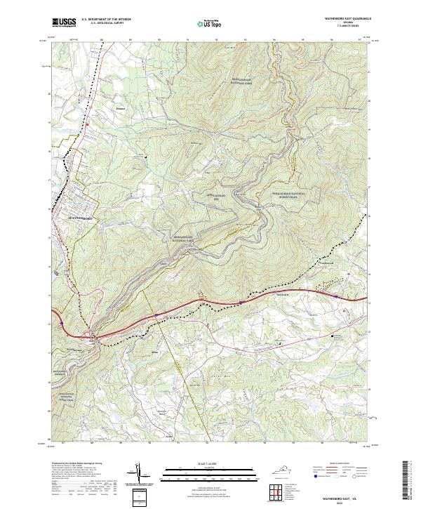 2022 Waynesboro East2022 Print · USGSThe Blue Ridge peaks and Shenandoah Valley interface are detailed here in 2022, showing how the landscape shaped local movement. Researchers can trace historic mountain passages and early settlements, including Afton, Swannanoa, and the Emmanuel Episcopal Church Cem.
 - 2022 Map of Horseshoe Mountain, 2022 Print
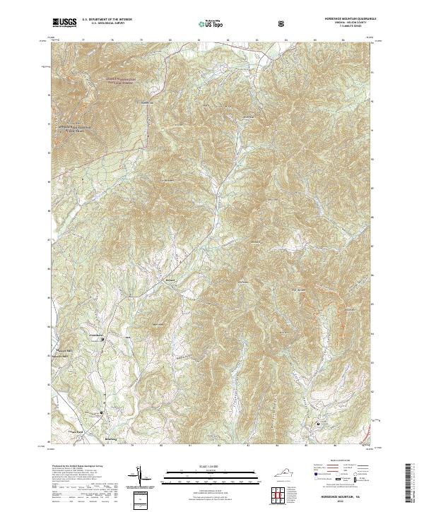 2022 Horseshoe Mountain2022 Print · USGSNelson County's rugged mountain terrain is meticulously documented here during the early 2020s. Genealogists can trace family roots through sites like Jonesboro Cem and Massies Mill, or follow the Appalachian National Scenic Trail as it crosses Three Ridges.
 - 2022 Map of Greenfield, 2022 Print
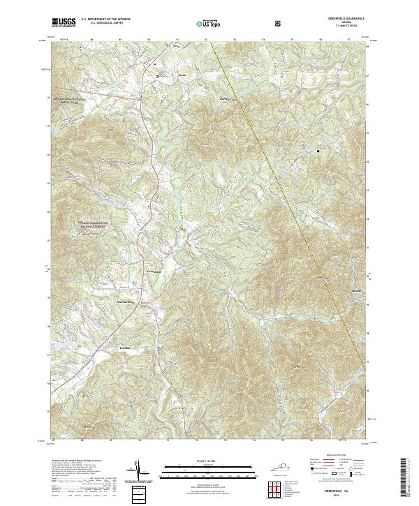 2022 Greenfield2022 Print · USGSThe foothills of the Blue Ridge are captured here in the early twenty-first century as they span the Nelson and Albemarle county line. Researchers can trace the paths of the Appalachian National Scenic Trail and locate family sites near Hebron Baptist Church Cem, Lodebar, and Martins Store.
 - 2022 Map of Big Levels, 2022 Print
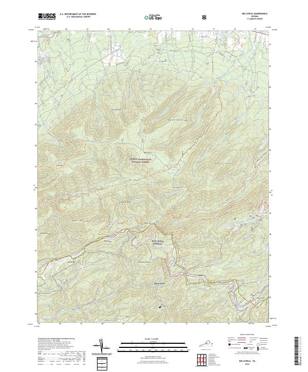 2022 Big Levels2022 Print · USGSThe high ridges of the Blue Ridge Mountains overlook the Augusta and Nelson county line in the early twenty-first century. Hikers and historians can trace the paths to Sherando Lake, the settlement of Love, and the isolated White Rock Cem.
 - 2022 Map of Massies Mill, 2022 Print
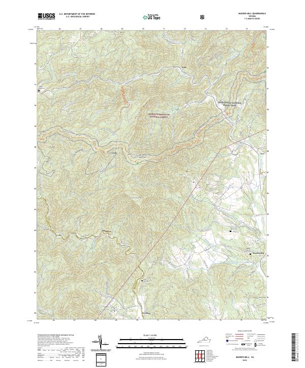 2022 Massies Mill2022 Print · USGSNelson County's mountain communities and high summits are documented here in the early twenty-first century. Researchers can trace family roots at Oak Hill Baptist Church or the Sandy Ridge Cem and locate historic river crossings near Massies Mill and Tyro.
 - 2022 Map of Vesuvius, 2022 Print
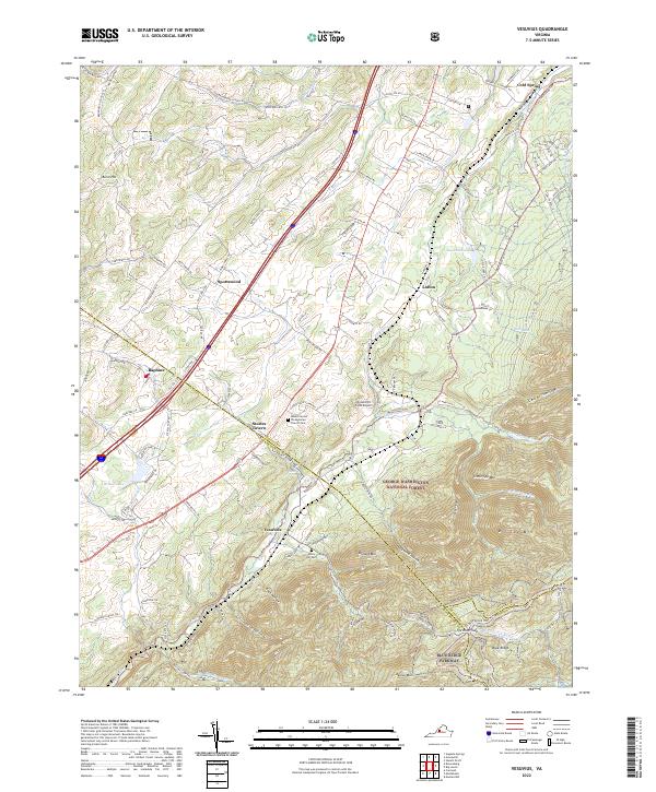 2022 Vesuvius2022 Print · USGSThe Shenandoah Valley meets the Blue Ridge in this 2022 survey of the Augusta and Rockbridge county line. Local historians can trace old thoroughfares like Old B and O Rd and locate family landmarks such as Mount Carmel Presbyterian Church Cem and Steeles Tavern.
 - 2022 Map of Piney River, 2022 Print
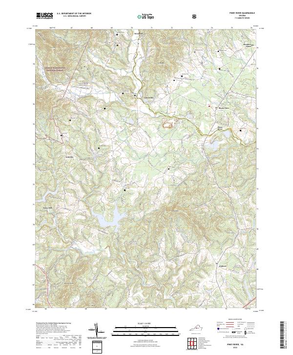 2022 Piney River2022 Print · USGSAmherst and Nelson counties are shown here as they appeared recently, where the Piedmont meets the Blue Ridge foothills. Researchers can trace numerous family burial grounds and legacy sites like Fulcher Family Farms Airport, Cash Cem, and Hendersons Store.
 - 2022 Map of Waynesboro West, 2022 Print
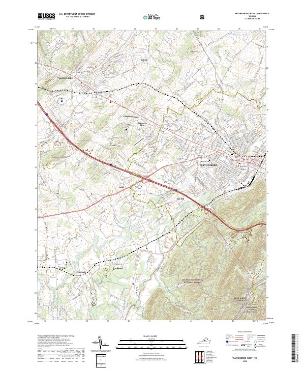 2022 Waynesboro West2022 Print · USGSAugusta County's valley floor and mountain ridges are shown here in the 2020s as the urban center of Waynesboro meets the wilderness. Researchers can trace the Appalachian National Scenic Trail past Afton Mtn or locate the Waynesboro City Courthouse.
End of results
Showing maps 1-18 of 18
Top cities of Nelson County
- Nellysford historical maps
- Arrington historical maps
- Lovingston historical maps
- Shipman historical maps
- Wintergreen historical maps
- Afton historical maps
Frequently asked questions
- What are the different types of historical maps available for Nelson County?
- What is the oldest map of Nelson County?
- Where can I purchase historical maps of Nelson County for my home or office?
- Where can I download high-res historical maps of Nelson County?
- Are there historical topographic maps available for Nelson County?
- Is there historical aerial imagery available for Nelson County?
- Where are historical maps of Nelson County sourced from?