2000s (21st Century) Maps of Northampton County, Virginia
Explore 99 historic maps of Northampton County from the 2000s (21st Century). These maps offer a rare glimpse into what life looked like during the 2000s — showing old roads, neighborhoods, homes, and landmarks that have changed or disappeared over time.
Whether you're researching your family's past, planning a metal detecting trip, or studying how Northampton County's landscape evolved across the 2000s, these high-resolution maps are a powerful tool for exploring the history of this region.
- Focus on a specific era: All maps on this page are from the 2000s, giving you a focused view of this time period.
- See what’s changed: Compare century-old streets, trails, and buildings to today's modern landscape using overlays and satellite layers.
- Research with precision: Use these maps for genealogy, historical research, land use analysis, or educational projects.
- View, download, or print: Maps are fully viewable online in high resolution, and can be downloaded or printed for your own records.
Start exploring Northampton County's history through authentic maps from the 2000s. This is your window into the past.
Northampton County, VA maps
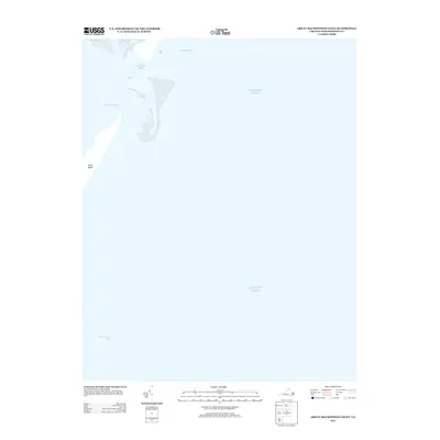
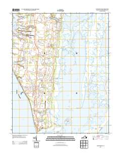
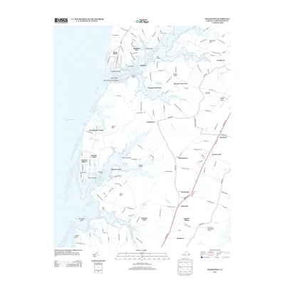
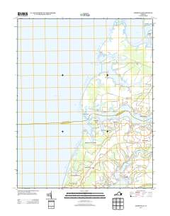
(99)- 2011 Map of East of New Point Comfort, 2011 Print
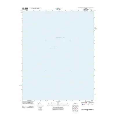 2011 East of New Point Comfort2011 Print · USGSCovers Northampton County, including York County, Mathews County, and other nearby areas
 - 2011 Map of Exmore, 2011 Print
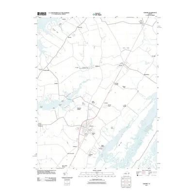 2011 Exmore2011 Print · USGSCovers Northampton County, including Exmore, Boston, and other nearby areas
 - 2011 Map of Nassawadox, 2011 Print
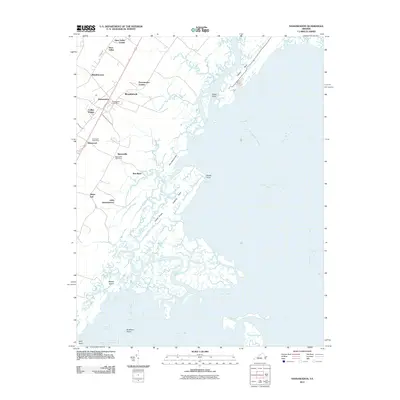 2011 Nassawadox2011 Print · USGSCovers Northampton County, including Nassawadox, Woodstock, and other nearby areas
 - 2011 Map of Cheriton, 2011 Print
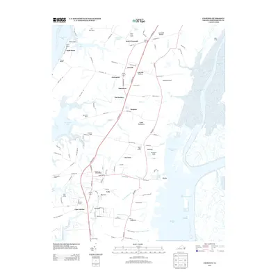
 2011 Cheriton2011 Print · USGSCovers Northampton County, including Cape Charles, Cheriton, and other nearby areas
 - 2011 Map of Townsend, 2011 Print
 2011 Townsend2011 Print · USGSCovers Northampton County, including Cape Charles, Townsend, and other nearby areas
 - 2011 Map of Franktown, 2011 Print
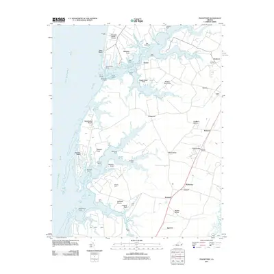 2011 Franktown2011 Print · USGSCovers Northampton County, including Franktown, Johnsontown, and other nearby areas
 - 2011 Map of Jamesville, 2011 Print
 2011 Jamesville2011 Print · USGSCovers Northampton County, including Cedar View, Davis Wharf, and other nearby areas
 - 2011 Map of Cape Charles, 2011 Print
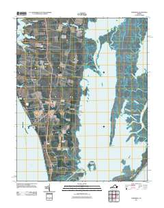
 2011 Cape Charles2011 Print · USGSCovers Northampton County, including Cape Charles, United States, and other nearby areas
 - 2011 Map of Elliotts Creek, 2011 Print
 2011 Elliotts Creek2011 Print · USGSCovers Northampton County, including Cape Charles, United States, and other nearby areas
 - 2011 Map of Quinby Inlet, 2011 Print
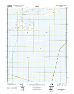
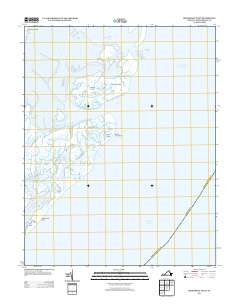
 2011 Quinby Inlet2011 Print · USGSCovers Northampton County, including Broadwater, Accomack County, and other nearby areas
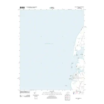
 - 2011 Map of Cobb Island, 2011 Print
 2011 Cobb Island2011 Print · USGSCovers Northampton County, including United States, Virginia, and other nearby areas
 - 2011 Map of Ship Shoal Inlet, 2011 Print
 2011 Ship Shoal Inlet2011 Print · USGSCovers Northampton County, including United States, Virginia, and other nearby areas
 - 2011 Map of Great Machipongo Inlet, 2011 Print
 2011 Great Machipongo Inlet2011 Print · USGSCovers Northampton County, including United States, Virginia, and other nearby areas
 - 2011 Map of Bethel Beach, 2011 Print
 2011 Bethel Beach2011 Print · USGSCovers Northampton County, including Mathews County, United States, and other nearby areas
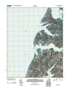
 - 2011 Map of Fishermans Island, 2011 Print
 2011 Fishermans Island2011 Print · USGSCovers Northampton County, including Virginia Beach, United States, and other nearby areas
 - 2013 Map of Cobb Island, 2013 Print
 2013 Cobb Island2013 Print · USGSCovers Northampton County, including United States, Virginia, and other nearby areas
 - 2013 Map of Great Machipongo Inlet, 2013 Print
 2013 Great Machipongo Inlet2013 Print · USGSCovers Northampton County, including United States, Virginia, and other nearby areas
 - 2013 Map of Cheriton, 2013 Print
 2013 Cheriton2013 Print · USGSCovers Northampton County, including Cape Charles, Cheriton, and other nearby areas
 - 2013 Map of Nassawadox, 2013 Print
 2013 Nassawadox2013 Print · USGSCovers Northampton County, including Nassawadox, Woodstock, and other nearby areas
 - 2013 Map of Quinby Inlet, 2013 Print
 2013 Quinby Inlet2013 Print · USGSCovers Northampton County, including Broadwater, Accomack County, and other nearby areas
 - 2013 Map of Townsend, 2013 Print
 2013 Townsend2013 Print · USGSCovers Northampton County, including Cape Charles, Townsend, and other nearby areas
 - 2013 Map of Franktown, 2013 Print
 2013 Franktown2013 Print · USGSCovers Northampton County, including Franktown, Johnsontown, and other nearby areas
 - 2013 Map of Fishermans Island, 2013 Print
 2013 Fishermans Island2013 Print · USGSCovers Northampton County, including Virginia Beach, United States, and other nearby areas
 - 2013 Map of Ship Shoal Inlet, 2013 Print
 2013 Ship Shoal Inlet2013 Print · USGSCovers Northampton County, including United States, Virginia, and other nearby areas
 - 2013 Map of Jamesville, 2013 Print
 2013 Jamesville2013 Print · USGSCovers Northampton County, including Cedar View, Davis Wharf, and other nearby areas
Showing maps 1-25 of 99
Top cities of Northampton County
- Exmore historical maps
- Cape Charles historical maps
- Nassawadox historical maps
- Cheriton historical maps
- Eastville historical maps
- Willis Wharf historical maps
See more
Frequently asked questions
- What are the different types of historical maps available for Northampton County?
- What is the oldest map of Northampton County?
- Where can I purchase historical maps of Northampton County for my home or office?
- Where can I download high-res historical maps of Northampton County?
- Are there historical topographic maps available for Northampton County?
- Is there historical aerial imagery available for Northampton County?
- Where are historical maps of Northampton County sourced from?