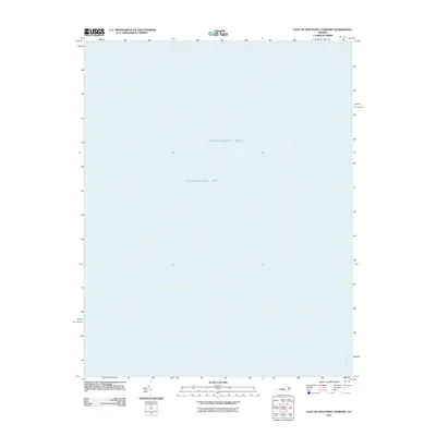
2011 Map of East of New Point Comfort
USGS Topo · Published 2011About this map
Chesapeake Bay dominates this maritime survey, illustrating the open water east of the Virginia peninsula. The map focuses almost entirely on the hydrography of the lower bay, where the York Spit Channel provides a critical deep-water passage for navigation entering and exiting the region's major rivers. Unlike many terrestrial quadrangles, this chart highlights the submerged geography of the Chesapeake Bay at the beginning of the 2011 decade, capturing a snapshot of the navigational lanes essential to the maritime economy of coastal Virginia.
Find a feature on this map
2 named features on this map. Tap any name to fly to it.
Don’t see what you’re looking for? This feature index may not catch every label — zoom into the map to look around manually.
Map Details
Editions of this 2011 East of New Point Comfort Map
This is the sole edition of this map. No revisions or reprints were ever made.
Other maps of this area

1907 · Hampton
USGS Topo · 1:62,500

1916 · Mathews
USGS Topo · 1:62,500

1917 · Mathews
USGS Topo · 1:62,500

1943 · Elliots Creek
USGS Topo · 1:25,000

1943 · Richmond
USGS Topo · 1:250,000

1944 · Messick
USGS Topo · 1:24,000

1948 · Cape Charles
USGS Topo · 1:24,000

1948 · New Point Comfort
USGS Topo · 1:24,000

1948 · Mathews
USGS Topo · 1:24,000

1949 · Richmond
USGS Topo · 1:250,000