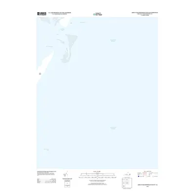
2013 Map of Great Machipongo Inlet
USGS Topo · Published 2013About this map
Cobb Island stands at the edge of the Virginia coastline, marking a dynamic intersection of land and sea in the early 21st century. This chart records the shifting nautical landscape of Northampton County, where the Great Machipongo Inlet and Sand Shoal Inlet provide critical passages between the open waters of the Atlantic Ocean and the inner marshlands. The intricate waterway system is further defined by the North Channel and Second Channel, illustrating the natural scouring and sediment patterns typical of these barrier island environments. As a maritime record from 2013, it captures the exact configuration of these inlets and sandbars before the inevitable changes brought by coastal storms and tide cycles, serving as a baseline for researchers tracking the movement of Virginia's Eastern Shore barrier islands.
Find a feature on this map
6 named features on this map. Tap any name to fly to it.
Don’t see what you’re looking for? This feature index may not catch every label — zoom into the map to look around manually.
Map Details
Editions of this 2013 Great Machipongo Inlet Map
This is the sole edition of this map. No revisions or reprints were ever made.
Other maps of this area
1941 · Broadwater
USGS Topo · 1:62,500
1942 · Cobb Island
USGS Topo · 1:24,000
1942 · Great Machipongo Inlet
USGS Topo · 1:24,000
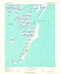
1942 · Little Machipongo Inlet
USGS Topo · 1:24,000
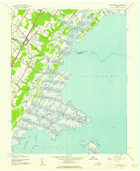
1942 · Nassawadox
USGS Topo · 1:24,000
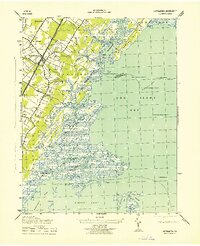
1943 · Nassawadox
USGS Topo · 1:31,680
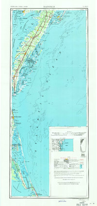
1946 · Eastville
USGS Topo · 1:250,000
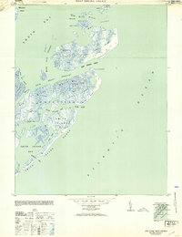
1953 · Ship Shoal Inlet
USGS Topo · 1:24,000
1961 · Eastville
USGS Topo · 1:250,000
1966 · Eastville
USGS Topo · 1:250,000