Old Maps of Shenandoah, Virginia for Genealogy
Trace your family roots with 40 historic maps of Shenandoah. These high-res maps reveal old neighborhoods, homesites, landmarks, and streets — helping you uncover where your ancestors lived and how the area evolved over time.
- Explore historic neighborhoods: Identify where your relatives may have lived in the 1800s or 1900s.
- Compare maps over time: Trace the changes in streets, buildings, and landmarks for multi-generational research.
- Perfect for genealogy & ancestry research: Used by family historians and researchers to map out lineage and migration.
These maps are an incredible resource for exploring your personal connection to Shenandoah's past.
Shenandoah, VA maps
(40)- 1892 Map of Woodstock, 1898 Print
 1892 Woodstock1898 Print · USGSThe Shenandoah Valley in the 1890s is captured here as a landscape of river-driven towns and mountain iron furnaces. Researchers can trace family roots in Woodstock or Edinburg and locate historic industrial sites like Liberty Furnace and Columbia Furnace.5 unique versions available
 - 1892 Map of Harrisonburg, 1901 Print
 1892 Harrisonburg1901 Print · USGSThe Shenandoah Valley during the 1890s reveals a landscape of thriving springs, mills, and emerging industry across Rockingham and Albemarle counties. Genealogists can trace family locations through sites like Meyerhoffer's Store, the Crimora Mine, and the University of Virginia Observatory.6 unique versions available
 - 1937 Map of Elkton
 1937 Elkton1937 Print · USGSThe Shenandoah Valley and Blue Ridge highlands are captured here in the 1930s as mountain missions and rural schools still served remote hollows. Genealogists can locate family landmarks like the Wyatt Shiflett Ch, Simmons Gap PO, and Blose Sch.3 unique versions available
 - 1942 Map of Mt Jackson, 1959 Print
 1942 Mt Jackson1959 Print · USGSThe Shenandoah Valley during the early forties reveals a landscape defined by the towering Massanutten Mountain and the winding river forks. Researchers can trace historic industrial sites like Catherine Furnace, old schools such as Soliloquy Sch, and the grounds of Shenandoah Academy.2 unique versions available
 - 1946 Map of Mt Jackson
 1946 Mt Jackson1946 Print · USGSThe Shenandoah Valley during the mid-1940s reveals a landscape defined by the parallel forks of its famous river and the rising wall of Massanutten Mountain. Genealogists can trace family lines through sites like Riedlers Sch, Catherine Furnace, and Long Cem.2 unique versions available
 - 1947 Map of Mt Jackson
 1947 Mt Jackson1947 Print · USGSThe Shenandoah Valley during the 1940s is captured here, showing the dramatic ridges between the river forks. Genealogists and historians can trace community roots through sites like Woods Chapel, Plains Mill, and Shenandoah Academy near New Market.2 unique versions available
 - 1949 Map of Charlottesville
 1949 Charlottesville1949 Print · USGSThe Shenandoah Valley and Blue Ridge appear in the late 1940s as a thriving corridor of rail and river commerce. Researchers can trace the mid-century footprints of Harrisonburg, Staunton, and Culpeper alongside the historic routes of the Southern Railway.2 unique versions available
 - 1956 Map of Charlottesville, 1966 Print
 1956 Charlottesville1966 Print · USGSThe Shenandoah Valley and Blue Ridge are captured in detail during the mid-1960s as the modern interstate system began to emerge. Genealogists and historians can trace rail-connected hubs like Waynesboro or follow the river paths of the Rapidan River and Rivanna River.4 unique versions available
 - 1965 Map of Elkton West, 1966 Print
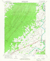 1965 Elkton West1966 Print · USGSThe Shenandoah Valley in the mid-sixties shows a landscape of steep mountain ridges and river-town commerce. Researchers can trace the heritage of McGaheysville and Elkton alongside the Chesapeake Western Railway and sites like East Point Cem.4 unique versions available
 - 1965 Map of Elkton East, 1967 Print
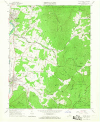 1965 Elkton East1967 Print · USGSThe Shenandoah Valley and Blue Ridge highlands meet in the 1960s, showing a landscape of river-side towns and mountain hollows. Genealogists can trace family roots at Naylor Cem or Mt Paran Ch, and follow the rails of the Norfolk and Western.3 unique versions available
 - 1967 Map of Stanley, 1969 Print
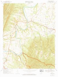 1967 Stanley1969 Print · USGSPage County is documented in the late sixties as the river-and-rail economy of the Page Valley thrived. Genealogists and local historians can trace family locations near Alma, St Lukes Ch, and the old Grove Hill Landing on the river.2 unique versions available
 - 1967 Map of Tenth Legion, 1970 Print
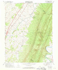 1967 Tenth Legion1970 Print · USGSThe Shenandoah Valley and the formidable slopes of Massanutten Mountain are frozen in time here during the late sixties. Genealogists and local historians can trace small communities like Arkton and Athlone or locate the Bethlehem Ch and various family cemeteries.2 unique versions available
 - 1977 Map of Elkton East, 1981 Print
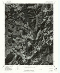 1977 Elkton East1981 Print · USGSThe Rockingham County valley meets the Blue Ridge in the late seventies. Family historians can trace rural settlements like Furnace and Verbena, or locate land along Naked Creek and Elk Run.
 - 1977 Map of Elkton West, 1983 Print
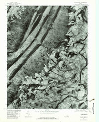 1977 Elkton West1983 Print · USGSRockingham County is captured in the late seventies, showing the dense forests and valley farms of the Blue Ridge foothills. Researchers can trace the riverfront development of Elkton and Shenandoah or locate rural landmarks like Hopkins Spring.
 - 1986 Map of Front Royal
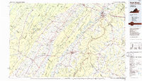 1986 Front Royal1986 Print · USGSThe northern Shenandoah Valley and the Blue Ridge crest are captured here in the mid-eighties as modern highways began to bypass historic valley towns. Researchers can trace ancestral connections near Peola Mills, navigate the gaps like Manassas Gap, or study the river bends around Luray.3 unique versions available
 - 1986 Map of Charlottesville
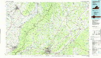 1986 Charlottesville1986 Print · USGSCentral Virginia in the mid-eighties shows a landscape balanced between the growing city centers of the Piedmont and the protected ridges of the Blue Ridge. Trace the historic rail lines of the Chesapeake and Ohio Railway or locate local landmarks like Monticello Mountain and Bridgewater College.3 unique versions available
 - 1994 Map of Tenth Legion, 1997 Print
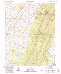 1994 Tenth Legion1997 Print · USGSShenandoah Valley life in the mid-1990s is captured here, where farmland meets the wooded slopes of the George Washington National Forest. Genealogists and historians can locate rural landmarks like Bethlehem Ch, the site of Endless Caverns, and a historic Covered Bridge.
 - 1997 Map of Elkton East, 1999 Print
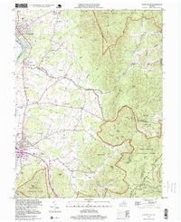 1997 Elkton East1999 Print · USGSThe Shenandoah Valley meets the Blue Ridge in the late twentieth century, showing a mix of mountain wilderness and river-town life. Trace family sites at Naylor Cem, old routes near Furnace, and springs like Bear Lithia Spring.
 - 1997 Map of Stanley, 2000 Print
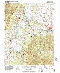 1997 Stanley2000 Print · USGSThe South Fork Shenandoah River valley in the late nineties shows a landscape defined by riverside settlements and mountain ridges. Genealogists can trace family landmarks like Longs Cem or locate rural congregations at St Pauls Ch and Leake Chapel.
 - 1999 Map of Elkton West, 2000 Print
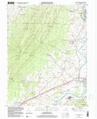 1999 Elkton West2000 Print · USGSThe Shenandoah Valley comes alive in the late 1990s as the river winds past the Massanutten ridges. Researchers can trace local heritage through landmarks like McGaheysville, the East Point Cem, and the mid-century Drive-in Theater at Solsburg.
 - 2010 Map of Elkton East, 2010 Print
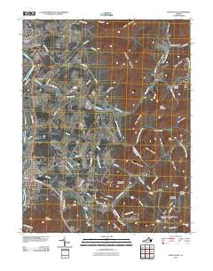 2010 Elkton East2010 Print · USGSThe Page Valley and Blue Ridge come into focus during the early twenty-first century, showing the rural communities between Elkton and Shenandoah. Genealogists can locate family landmarks like Koontz Cemetery or trace the old roads leading to Jollett and Furnace.
 - 2011 Map of Stanley, 2011 Print
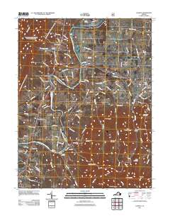 2011 Stanley2011 Print · USGSThe Shenandoah Valley remains a landscape of deep river bends and high ridges in the early twenty-first century. Genealogists and hikers can trace family names and rugged terrain features like Saint Luke Cemetery, Dog Slaughter Ridge, and the Newport Dam.
 - 2011 Map of Tenth Legion, 2011 Print
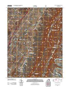 2011 Tenth Legion2011 Print · USGSThe Shenandoah Valley and Massanutten ridges are documented here during the early twenty-first century. Researchers can trace the layout of settlements like Tenth Legion and Mauzy or locate historical sites such as Catherine Furnace and Rinaca Cemetery.
 - 2011 Map of Elkton West, 2011 Print
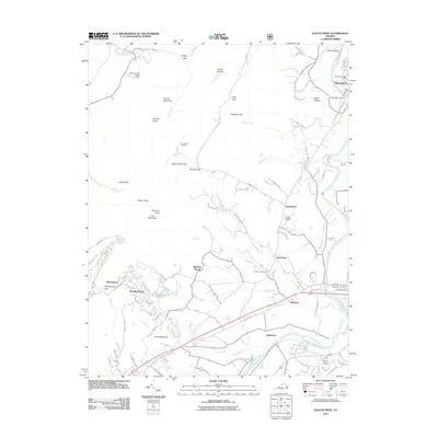 2011 Elkton West2011 Print · USGSThe South Fork Shenandoah River corridor and the steep ridges of the Massanutten range define this Virginia landscape in the early twenty-first century. Genealogists and researchers can trace local landmarks from the Shenandoah Post Office to East Point Cemetery and the uniquely named Giants Grave.
 - 2013 Map of Elkton East, 2013 Print
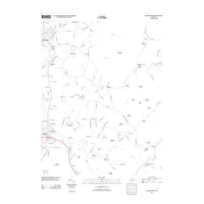 2013 Elkton East2013 Print · USGSThe eastern edges of Rockingham and Page Counties are captured here as the Blue Ridge foothills meet the river valley. Genealogists and hikers can trace connections between Shenandoah and Elkton, locating Bear Lithia Spring and the steep hollows of Shenandoah National Park.
Showing maps 1-25 of 40
Top cities near Shenandoah
- Massanetta Springs historical maps
- Luray historical maps
- Broadway historical maps
- Grottoes historical maps
- Elkton historical maps
- Massanutten historical maps
See more
Frequently asked questions
- What are the different types of historical maps available for Shenandoah?
- What is the oldest map of Shenandoah?
- Where can I purchase historical maps of Shenandoah for my home or office?
- Where can I download high-res historical maps of Shenandoah?
- Are there historical topographic maps available for Shenandoah?
- Is there historical aerial imagery available for Shenandoah?
- Where are historical maps of Shenandoah sourced from?