2000s (21st Century) Maps of Prince George County, Virginia
Explore 70 historic maps of Prince George County from the 2000s (21st Century). These maps offer a rare glimpse into what life looked like during the 2000s — showing old roads, neighborhoods, homes, and landmarks that have changed or disappeared over time.
Whether you're researching your family's past, planning a metal detecting trip, or studying how Prince George County's landscape evolved across the 2000s, these high-resolution maps are a powerful tool for exploring the history of this region.
- Focus on a specific era: All maps on this page are from the 2000s, giving you a focused view of this time period.
- See what’s changed: Compare century-old streets, trails, and buildings to today's modern landscape using overlays and satellite layers.
- Research with precision: Use these maps for genealogy, historical research, land use analysis, or educational projects.
- View, download, or print: Maps are fully viewable online in high resolution, and can be downloaded or printed for your own records.
Start exploring Prince George County's history through authentic maps from the 2000s. This is your window into the past.
Prince George County, VA maps
(70)- 2010 Map of Prince George, 2010 Print
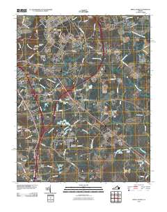 2010 Prince George2010 Print · USGSThe Virginia tidewater landscape south of the Appomattox comes into focus here during a period of suburban growth and military presence. Researchers can trace family history through sites like Union Branch Cemetery, the Petersburg Jail Farm, and New Bohemia.
 - 2010 Map of Carson, 2010 Print
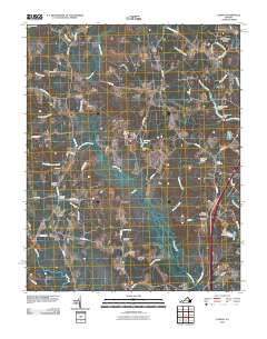 2010 Carson2010 Print · USGSDinwiddie County’s rural crossroads and winding swamp-fed creeks appear in high detail during the early twenty-first century. Researchers can trace family history through several burial grounds, including the Confederate Cemetery, Rowanta Cemetery, and landmarks like the Carson Post Office.
 - 2010 Map of Stony Creek, 2010 Print
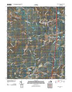 2010 Stony Creek2010 Print · USGSCoastal Virginia's rural landscape is captured here in the early twenty-first century as the modern interstate corridor intersects with older creek-side settlements. Genealogists and historians can trace family landmarks like Peagram Cemetery, Winfields Mill, and the riverside site of Fort Nottoway.
 - 2010 Map of Chester, 2010 Print
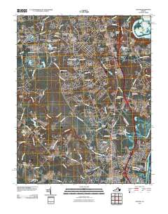 2010 Chester2010 Print · USGSChester and the surrounding Chesterfield County residential corridors are captured here during a period of significant suburban growth. Genealogists and local historians can locate several family burial sites like the Perdue Family Cemetery or explore landmarks such as Pickadat Corner and the Swift Creek Mill.
 - 2010 Map of Hopewell, 2010 Print
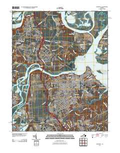 2010 Hopewell2010 Print · USGSThe confluence of the James and Appomattox Rivers at the start of the 21st century reveals a landscape shaped by tidewater history and industry. Genealogists can trace family sites at City Point National Cemetery, Walthall Mill, and Birchett Estate.
 - 2010 Map of Westover, 2010 Print
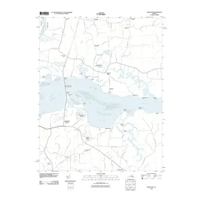 2010 Westover2010 Print · USGSThe James River corridor near Charles City County appears in the early twenty-first century as a blend of historic riverfront estates and tidal wetlands. Researchers can locate Merchants Hope Cemetery, Harrisons Landing, and the Benjamin Harrison Memorial Bridge.
 - 2010 Map of Charles City, 2010 Print
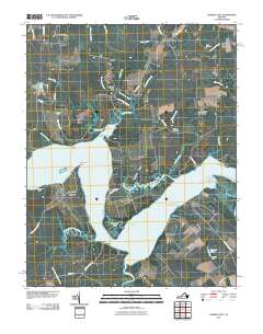 2010 Charles City2010 Print · USGSCoastal Virginia near the James River is shown in this detailed study of its historic estates and riverfront landings. Researchers can trace ancestral connections and local landmarks from Charles City to Flowerdew Hundred, including sites like Fort Powhatan and Elam Cemetery.
 - 2010 Map of Templeton, 2010 Print
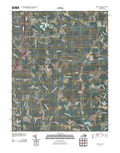 2010 Templeton2010 Print · USGSCoastal Virginia at the start of the 2010s shows a landscape deeply defined by its millponds and drainage networks. Researchers can trace historic family landmarks and community sites like Lees Mill, Belsches Millpond, and Loving Union Cemetery.
 - 2010 Map of Disputanta North, 2010 Print
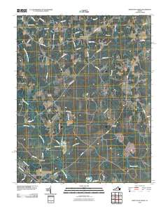 2010 Disputanta North2010 Print · USGSCoastal Virginia's rural landscape is captured here in the early twenty-first century, showing the settlement patterns of Prince George County. Researchers can locate historic rural hubs like Binford Store and Garysville or trace family roots at Bethlehem Cemetery.
 - 2010 Map of Petersburg, 2010 Print
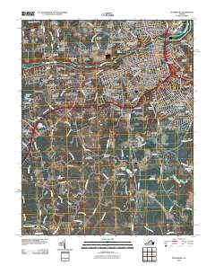 2010 Petersburg2010 Print · USGSThe cities of Petersburg and Colonial Heights meet at the Appomattox River in this detailed 2010 survey. Genealogists and researchers can trace lineage across Blandford Cemetery or locate historical landmarks like The Crater and Pocahontas.
 - 2011 Map of Disputanta South, 2011 Print
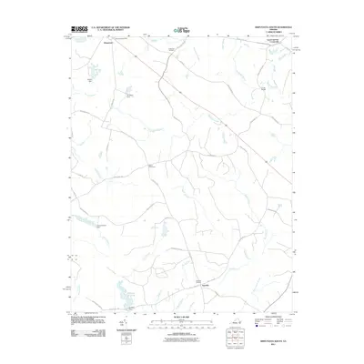 2011 Disputanta South2011 Print · USGSCoastal plain wetlands and rural Virginia crossroads come into focus during this early twenty-first century survey. Researchers can trace the legacy of local water power and transit at Nebletts Millpond, Cooks Bridge, and the Disputanta Post Office.
 - 2011 Map of Claremont, 2011 Print
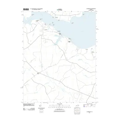 2011 Claremont2011 Print · USGSThe southern banks of the James River are captured in the early twenty-first century as the Chickahominy joins the main channel. Researchers can trace riverfront landmarks like Claremont Wharf, find Saint Annes Cemetery, and explore the marshes of Cypress Swamp.
 - 2011 Map of Brandon, 2011 Print
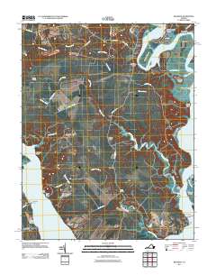 2011 Brandon2011 Print · USGSThe confluence of the James and Chickahominy Rivers is captured here in the early twenty-first century, showing a landscape of historic plantations and river landings. Trace family roots and local commerce through landmarks like Brandon Plantation Cemetery, Blanks Store, and Ritchie Wharf.
 - 2011 Map of Savedge, 2011 Print
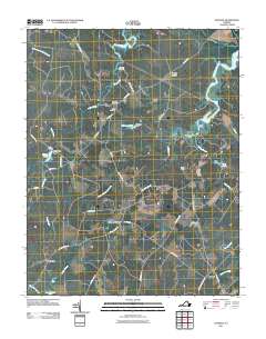 2011 Savedge2011 Print · USGSPrince George County and the Tidewater region of Virginia appear here as a landscape of established crossroads and winding creek systems. Genealogists and local historians can trace family locations near Burrowsville, Lone Oak Mill, or Salem Cemetery.
 - 2013 Map of Stony Creek, 2013 Print
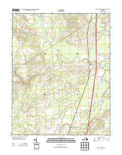 2013 Stony Creek2013 Print · USGSStony Creek and the surrounding Sussex County countryside are documented here in the early twenty-first century as a landscape of deep swamps and river crossings. Genealogists and local historians can trace family-named sites like Winfields Mill, Morgans Pond, and the settlement at Fort Nottoway.
 - 2013 Map of Savedge, 2013 Print
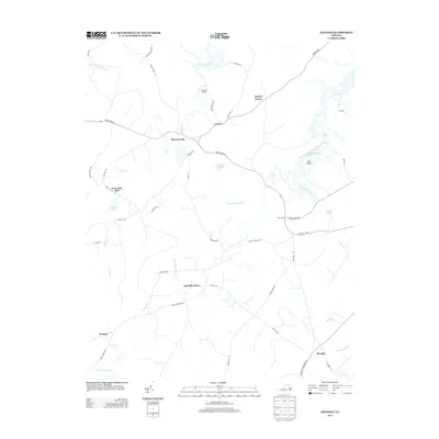 2013 Savedge2013 Print · USGSCoastal Virginia crossroads and tidal creeks come into focus in this recent survey of the Burrowsville area. Genealogists and local historians can trace family-named landmarks and old settlements like Lone Oak Mill, Johnsons Landing, and Cabin Point.
 - 2013 Map of Chester, 2013 Print
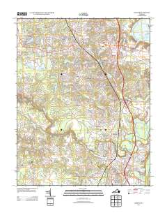 2013 Chester2013 Print · USGSThe suburban landscape south of Richmond comes into focus in this recent study of the Tri-Cities area. Researchers can trace modern neighborhood development through Pickadat Corner and Grove Place, or locate old river features like Archer Bluff and the James River Old Channel.
 - 2013 Map of Disputanta South, 2013 Print
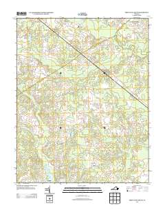 2013 Disputanta South2013 Print · USGSCoastal Virginia's lowlands are charted here in the early twenty-first century, showing the rural corridor between Disputanta and Newville. Genealogists and historians can trace family-named sites like Nebletts Millpond, Cooks Bridge, and Josephs Mill Pond among the swamps.
 - 2013 Map of Petersburg, 2013 Print
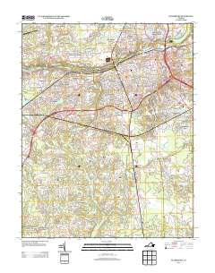 2013 Petersburg2013 Print · USGSPetersburg and its northern neighbors appear in this early twenty-first century survey as the urban core expands into the surrounding wetlands and hills. Researchers can trace local neighborhoods from Ettrick to Blandford or locate specific sites like The Crater and Broadway Yards.
 - 2013 Map of Templeton, 2013 Print
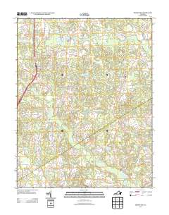 2013 Templeton2013 Print · USGSCoastal plain wetlands and small mill seats define this Virginia landscape in the early twenty-first century. Genealogists and local historians can trace family-named sites such as Lees Mill, Belsches Millpond, and Johnsons Pond along the banks of Warwick Swamp.
 - 2013 Map of Disputanta North, 2013 Print
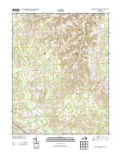 2013 Disputanta North2013 Print · USGSPrince George County in the early twenty-first century remains a landscape of historic crossroads and significant wetland systems south of the James River. Researchers can trace local development around Garysville, Newville, and Hitchcock Bridge while following the intricate reaches of the Blackwater Swamp.
 - 2013 Map of Prince George, 2013 Print
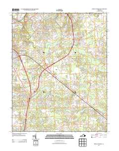 2013 Prince George2013 Print · USGSPrince George County and the military grounds of Fort Lee are captured here during a period of modern expansion. Researchers can trace the boundaries of the Petersburg Jail Farm or locate residential developments like New Bohemia and Berkeley Manor.
 - 2013 Map of Charles City, 2013 Print
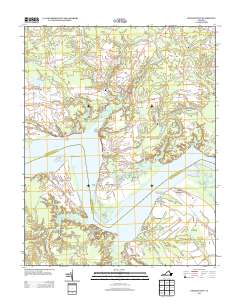 2013 Charles City2013 Print · USGSCoastal Virginia's plantation country along the James River is mapped here in the early twenty-first century. Researchers can trace historic river landings and storied estates, from the grounds of Sherwood Forest and Upper Brandon to the site of Fort Powhatan.
 - 2013 Map of Westover, 2013 Print
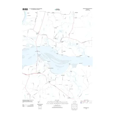 2013 Westover2013 Print · USGSCoastal Virginia life along the James River is captured here in the early twenty-first century. Genealogists and local historians can trace the estates and landings of the peninsula, including Westover, Berkeley, and the Harrison Lake National Fish Hatchery.
 - 2013 Map of Hopewell, 2013 Print
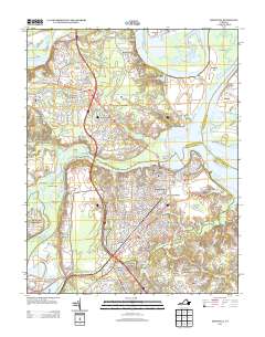 2013 Hopewell2013 Print · USGSHopewell and the James River peninsula are shown here in the early twenty-first century, mapping the transition from historic riverfronts to modern suburban growth. Researchers can locate established landmarks like Bermuda Hundred and City Point alongside agricultural legacies at Newstead Farm and Walthall Mill.
Showing maps 1-25 of 70
Top cities of Prince George County
Frequently asked questions
- What are the different types of historical maps available for Prince George County?
- What is the oldest map of Prince George County?
- Where can I purchase historical maps of Prince George County for my home or office?
- Where can I download high-res historical maps of Prince George County?
- Are there historical topographic maps available for Prince George County?
- Is there historical aerial imagery available for Prince George County?
- Where are historical maps of Prince George County sourced from?