2000s (21st Century) Maps of Rockingham County, Virginia
Explore 138 historic maps of Rockingham County from the 2000s (21st Century). These maps offer a rare glimpse into what life looked like during the 2000s — showing old roads, neighborhoods, homes, and landmarks that have changed or disappeared over time.
Whether you're researching your family's past, planning a metal detecting trip, or studying how Rockingham County's landscape evolved across the 2000s, these high-resolution maps are a powerful tool for exploring the history of this region.
- Focus on a specific era: All maps on this page are from the 2000s, giving you a focused view of this time period.
- See what’s changed: Compare century-old streets, trails, and buildings to today's modern landscape using overlays and satellite layers.
- Research with precision: Use these maps for genealogy, historical research, land use analysis, or educational projects.
- View, download, or print: Maps are fully viewable online in high resolution, and can be downloaded or printed for your own records.
Start exploring Rockingham County's history through authentic maps from the 2000s. This is your window into the past.
Rockingham County, VA maps
(138)- 2002 Map of Bridgewater, 2004 Print
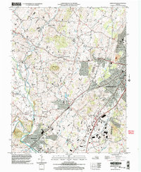 2002 Bridgewater2004 Print · USGSHarrisonburg and the surrounding Rockingham County settlements are shown at the turn of the millennium as academic and rural life intersect. Genealogists and historians can trace local landmarks like Garbers Church, the historic waters of Silver Lake, and the small community of Stemphleytown.
 - 2002 Map of Harrisonburg, 2004 Print
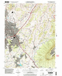 2002 Harrisonburg2004 Print · USGSHarrisonburg and the Shenandoah Valley are shown in detail at the turn of the millennium as the city expanded toward the mountains. Researchers can trace local heritage through sites like Massanetta Springs, the Ashby Monument, and Keezletown.
 - 2002 Map of Mount Sidney, 2004 Print
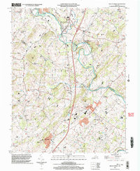 2002 Mount Sidney2004 Print · USGSThe Shenandoah Valley corridor near the Rockingham and Augusta county line is documented here just after the turn of the millennium. Genealogists and local historians can trace legacy sites like St Michaels Ch, the Old Salem Cem, and the rural community of Burketown.
 - 2010 Map of Parnassus, 2010 Print
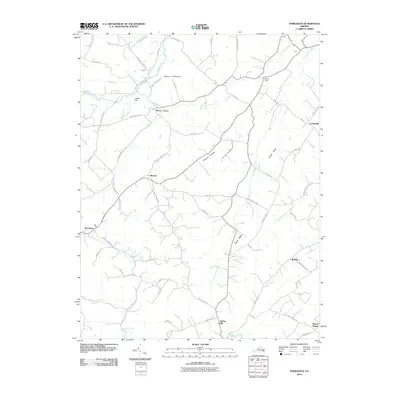 2010 Parnassus2010 Print · USGSAugusta County remains a landscape of small valley settlements and winding river gaps at the start of the 2010s. Researchers can trace historic crossroads and local landmarks like the Natural Chimneys, the village of Mount Solon, and Parnassus along the North River.
 - 2010 Map of Crimora, 2010 Print
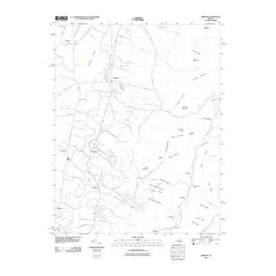 2010 Crimora2010 Print · USGSThe eastern reaches of Augusta County are shown here in the early twenty-first century as they meet the mountains. Researchers can trace family history at Old Cemetery and Mountain View Cemetery or locate the historic Crimora Mine near the park boundary.
 - 2010 Map of Browns Cove, 2010 Print
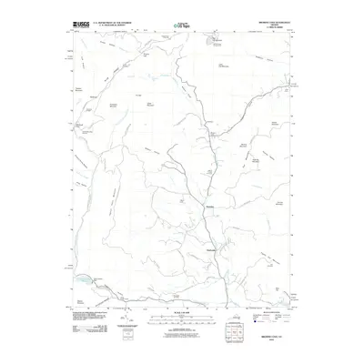 2010 Browns Cove2010 Print · USGSThe Doyles River valley and the eastern Blue Ridge heights come into focus in this late-era survey. Genealogists and hikers can trace connections between Mount Carmel Cemetery and Sandridge Cemetery or follow the Appalachian Trl through Browns Gap.
 - 2010 Map of Broadway, 2010 Print
 2010 Broadway2010 Print · USGSRockingham County at the start of the 2010s reveals a landscape of enduring valley settlements and winding watercourses. Genealogists can locate family landmarks near Lacey Spring and Edom, or trace the grounds of Pine Grove Cemetery.
 - 2010 Map of Fletcher, 2010 Print
 2010 Fletcher2010 Print · USGSThe high ridges of the Blue Ridge and the upper Conway River valley are captured here at the start of the 2010s. Researchers can locate historic mountain sites like Rapidan Camp, ancestral resting places at Fletcher Cemetery, and landmarks along the winding Skyline Dr.
 - 2010 Map of Elkton East, 2010 Print
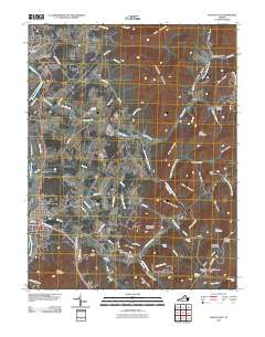 2010 Elkton East2010 Print · USGSThe Page Valley and Blue Ridge come into focus during the early twenty-first century, showing the rural communities between Elkton and Shenandoah. Genealogists can locate family landmarks like Koontz Cemetery or trace the old roads leading to Jollett and Furnace.
 - 2010 Map of Grottoes, 2010 Print
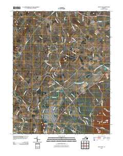 2010 Grottoes2010 Print · USGSThe Shenandoah Valley river forks define this Rockingham County landscape in 2010. Trace the convergence of the North River and South River at Port Republic, or locate family sites at Shady Grove Cemetery and Old Forge Cemetery.
 - 2010 Map of Swift Run Gap, 2010 Print
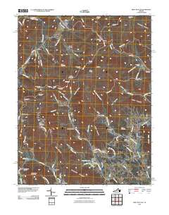 2010 Swift Run Gap2010 Print · USGSThe eastern slopes of the Blue Ridge Mountains are captured here in the decade before 2010, showing the rural settlements that border Shenandoah National Park. Researchers can trace family roots through mountain hollows to sites like Mission Home, Saint George, and Christian Cemetery.
 - 2010 Map of McGaheysville, 2010 Print
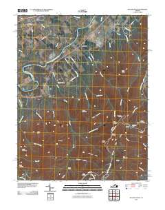 2010 McGaheysville2010 Print · USGSNear the South Fork Shenandoah River in the early 21st century, the valley settlements meet the rising Blue Ridge. Trace the path of Skyline Dr through the mountains to find Big Run Shelter, Doyles River Cabin, and Mount Olivet Cemetery.
 - 2010 Map of Bridgewater, 2010 Print
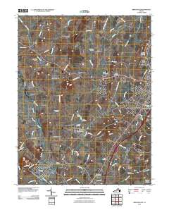 2010 Bridgewater2010 Print · USGSThe central Shenandoah Valley is captured here in the early twenty-first century, showing the established communities of Bridgewater and Dayton. Researchers can trace local heritage through numerous sites like Byerlys Mill, Eastern Mennonite University, and Greenwood Cemetery.
 - 2010 Map of Mount Sidney, 2010 Print
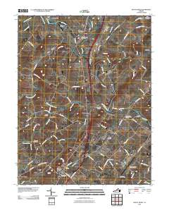 2010 Mount Sidney2010 Print · USGSThe central Shenandoah Valley is shown here at the turn of the millennium, anchored by the North River and critical transit hubs. Genealogists can trace family lines through numerous sites like Bells Cemetery, Old Salem Cemetery, and Stonewall.
 - 2011 Map of Reddish Knob, 2011 Print
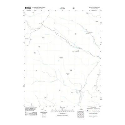 2011 Reddish Knob2011 Print · USGSThe high Appalachian ridges of Rockingham County are shown in detail during the early twenty-first century, highlighting a landscape of peaks and water-control reservoirs. Researchers can locate distinct landmarks such as Reddish Knob, the Hone Quarry Reservoir, and the Briery Branch Overlook.
 - 2011 Map of Cow Knob, 2011 Print
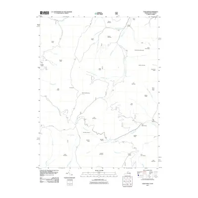 2011 Cow Knob2011 Print · USGSThe high ridges along the Virginia-West Virginia border are captured here in the early twenty-first century. Researchers can trace remote mountain geography through landmarks like Cow Knob, Old Road Hollow, and the headwaters of the German River.
 - 2011 Map of Brandywine, 2011 Print
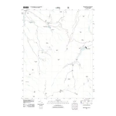 2011 Brandywine2011 Print · USGSThe Potomac River's south branch valley is shown in the early twenty-first century, revealing a landscape of ridge-top knobs and flood-control lakes. Genealogists and hikers can trace sites like Pine Hill Cemetery, Granddaddy Knob, and Bandywine Lake Campground.
 - 2011 Map of Fort Seybert, 2011 Print
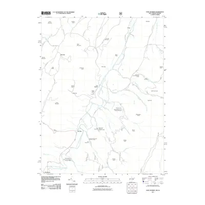 2011 Fort Seybert2011 Print · USGSThe South Fork valley of the Potomac River in West Virginia is documented here in the early twenty-first century. Researchers can trace the layout of historic settlements like Fort Seybert and Brandywine, or locate family burial sites at Hinkle Cemetery and Dice Cemetery.
 - 2011 Map of Milam, 2011 Print
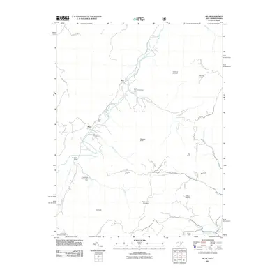 2011 Milam2011 Print · USGSHardy County highlands in the early 21st century reveal a landscape of river-valley settlements and flood-control infrastructure. Genealogists and historians can trace local family landmarks such as Reynolds Knob and the communities of Milam and Peru.
 - 2011 Map of Orkney Springs, 2011 Print
 2011 Orkney Springs2011 Print · USGSThe resort and mountain communities of Shenandoah County thrive in the early twenty-first century amidst the ridges of the Great North Mountain area. Researchers can trace family history at the Shrine Mont Church Camp or locate rural burial grounds like Morning Star Cemetery and Stoney Creek Cemetery.
 - 2011 Map of Bergton, 2011 Print
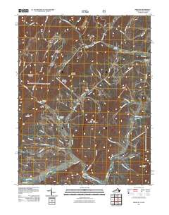 2011 Bergton2011 Print · USGSBergton and the surrounding Rockingham County borderlands are mapped here at the start of the 2010s, showing a landscape shaped by the North Fork Shenandoah River. Genealogists and hikers can trace paths to Moyers Cemetery or the ridges of Mine Mountain.
 - 2011 Map of Briery Branch, 2011 Print
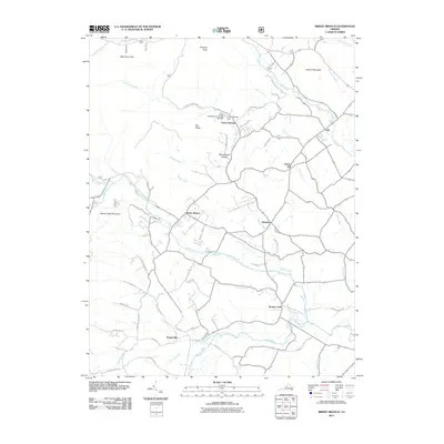 2011 Briery Branch2011 Print · USGSRockingham County at the start of the 2010s reveals a tapestry of small valley settlements and managed mountain watersheds. Researchers can trace family-named roads and rural centers like Sangerville, Ottobine, and the lands around Cooper Mountain.
 - 2011 Map of Rawley Springs, 2011 Print
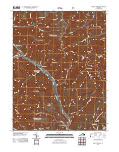 2011 Rawley Springs2011 Print · USGSRawley Springs and the surrounding Rockingham County ridges are captured in this early 21st-century survey of the Virginia highlands. Researchers can trace the path of the Dry River and locate local landmarks like Oak Grove Cemetery, Hopkins Hollow, and Riven Rock Mountain.
 - 2011 Map of Timberville, 2011 Print
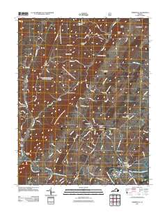 2011 Timberville2011 Print · USGSRockingham County is captured here in the early 2000s, where the river valley meets the northern ridges. Researchers can trace land tracts near Timberville and locate several community landmarks including Saint Lukes Cemetery and Showalters Orchard and Greenhouse.
 - 2011 Map of Harrisonburg, 2011 Print
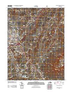 2011 Harrisonburg2011 Print · USGSHarrisonburg and the surrounding Shenandoah Valley appear in clear detail during this period of 21st-century growth. Genealogists can trace family sites at Newton Cemetery and Bethel Cemetery, while historians can locate landmarks like the Ashby Monument and James Madison University.
Showing maps 1-25 of 138
Top cities of Rockingham County
- Massanetta Springs historical maps
- Bridgewater historical maps
- Broadway historical maps
- Grottoes historical maps
- Elkton historical maps
- Massanutten historical maps
See more
Frequently asked questions
- What are the different types of historical maps available for Rockingham County?
- What is the oldest map of Rockingham County?
- Where can I purchase historical maps of Rockingham County for my home or office?
- Where can I download high-res historical maps of Rockingham County?
- Are there historical topographic maps available for Rockingham County?
- Is there historical aerial imagery available for Rockingham County?
- Where are historical maps of Rockingham County sourced from?