Old Maps of Elkton, Virginia for Hiking & Exploration
Hike through history with 21 historic maps of Elkton. Explore old trails, ghost towns, and forgotten backroads — perfect for outdoor adventurers and local explorers.
- Rediscover forgotten places: Map out old mining camps, roads, and footpaths that no longer exist on modern maps.
- Layer with modern tools: Combine with LiDAR or satellite views to plan hikes through historical terrain.
- Made for exploration: Popular among hikers, overlanders, and local history lovers.
Use these maps to find adventure and explore the hidden past of Elkton.
Elkton, VA maps
(21)- 1892 Map of Harrisonburg, 1901 Print
 1892 Harrisonburg1901 Print · USGSThe Shenandoah Valley during the 1890s reveals a landscape of thriving springs, mills, and emerging industry across Rockingham and Albemarle counties. Genealogists can trace family locations through sites like Meyerhoffer's Store, the Crimora Mine, and the University of Virginia Observatory.6 unique versions available
 - 1937 Map of Elkton
 1937 Elkton1937 Print · USGSThe Shenandoah Valley and Blue Ridge highlands are captured here in the 1930s as mountain missions and rural schools still served remote hollows. Genealogists can locate family landmarks like the Wyatt Shiflett Ch, Simmons Gap PO, and Blose Sch.3 unique versions available
 - 1949 Map of Charlottesville
 1949 Charlottesville1949 Print · USGSThe Shenandoah Valley and Blue Ridge appear in the late 1940s as a thriving corridor of rail and river commerce. Researchers can trace the mid-century footprints of Harrisonburg, Staunton, and Culpeper alongside the historic routes of the Southern Railway.2 unique versions available
 - 1956 Map of Charlottesville, 1966 Print
 1956 Charlottesville1966 Print · USGSThe Shenandoah Valley and Blue Ridge are captured in detail during the mid-1960s as the modern interstate system began to emerge. Genealogists and historians can trace rail-connected hubs like Waynesboro or follow the river paths of the Rapidan River and Rivanna River.4 unique versions available
 - 1965 Map of Elkton West, 1966 Print
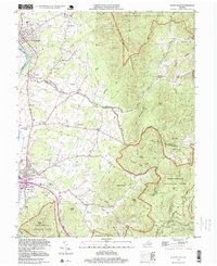
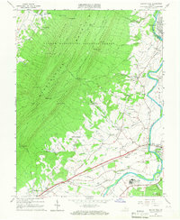 1965 Elkton West1966 Print · USGSThe Shenandoah Valley in the mid-sixties shows a landscape of steep mountain ridges and river-town commerce. Researchers can trace the heritage of McGaheysville and Elkton alongside the Chesapeake Western Railway and sites like East Point Cem.4 unique versions available
 - 1965 Map of Elkton East, 1967 Print
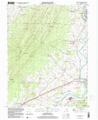
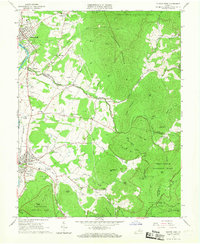 1965 Elkton East1967 Print · USGSThe Shenandoah Valley and Blue Ridge highlands meet in the 1960s, showing a landscape of river-side towns and mountain hollows. Genealogists can trace family roots at Naylor Cem or Mt Paran Ch, and follow the rails of the Norfolk and Western.3 unique versions available
 - 1977 Map of Elkton East, 1981 Print
 1977 Elkton East1981 Print · USGSThe Rockingham County valley meets the Blue Ridge in the late seventies. Family historians can trace rural settlements like Furnace and Verbena, or locate land along Naked Creek and Elk Run.
 - 1977 Map of Elkton West, 1983 Print
 1977 Elkton West1983 Print · USGSRockingham County is captured in the late seventies, showing the dense forests and valley farms of the Blue Ridge foothills. Researchers can trace the riverfront development of Elkton and Shenandoah or locate rural landmarks like Hopkins Spring.
 - 1986 Map of Charlottesville
 1986 Charlottesville1986 Print · USGSCentral Virginia in the mid-eighties shows a landscape balanced between the growing city centers of the Piedmont and the protected ridges of the Blue Ridge. Trace the historic rail lines of the Chesapeake and Ohio Railway or locate local landmarks like Monticello Mountain and Bridgewater College.3 unique versions available
 - 1997 Map of Elkton East, 1999 Print
 1997 Elkton East1999 Print · USGSThe Shenandoah Valley meets the Blue Ridge in the late twentieth century, showing a mix of mountain wilderness and river-town life. Trace family sites at Naylor Cem, old routes near Furnace, and springs like Bear Lithia Spring.
 - 1999 Map of Elkton West, 2000 Print
 1999 Elkton West2000 Print · USGSThe Shenandoah Valley comes alive in the late 1990s as the river winds past the Massanutten ridges. Researchers can trace local heritage through landmarks like McGaheysville, the East Point Cem, and the mid-century Drive-in Theater at Solsburg.
 - 2010 Map of Elkton East, 2010 Print
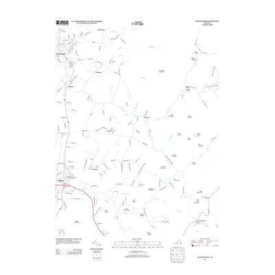
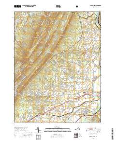
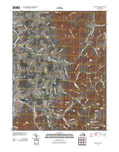 2010 Elkton East2010 Print · USGSCovers Elkton, including Shenandoah, Jollett, and other nearby areas
 - 2011 Map of Elkton West, 2011 Print
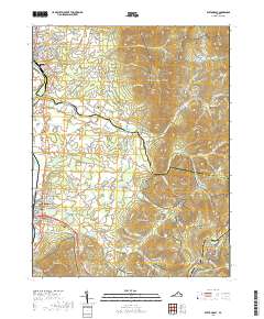
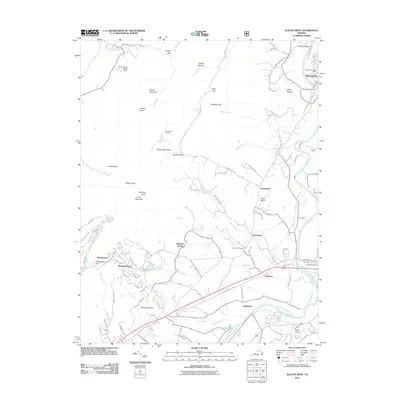 2011 Elkton West2011 Print · USGSCovers Elkton, including Shenandoah, Inglewood, and other nearby areas
 - 2013 Map of Elkton East, 2013 Print
 2013 Elkton East2013 Print · USGSCovers Elkton, including Shenandoah, Jollett, and other nearby areas
 - 2013 Map of Elkton West, 2013 Print
 2013 Elkton West2013 Print · USGSCovers Elkton, including Shenandoah, Inglewood, and other nearby areas
 - 2016 Map of Elkton West, 2016 Print
 2016 Elkton West2016 Print · USGSCovers Elkton, including Shenandoah, Inglewood, and other nearby areas
 - 2016 Map of Elkton East, 2016 Print
 2016 Elkton East2016 Print · USGSCovers Elkton, including Shenandoah, Jollett, and other nearby areas
 - 2019 Map of Elkton West, 2019 Print
 2019 Elkton West2019 Print · USGSCovers Elkton, including Shenandoah, Inglewood, and other nearby areas
 - 2019 Map of Elkton East, 2019 Print
 2019 Elkton East2019 Print · USGSCovers Elkton, including Shenandoah, Jollett, and other nearby areas
 - 2022 Map of Elkton East, 2022 Print
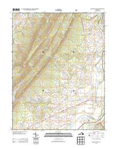
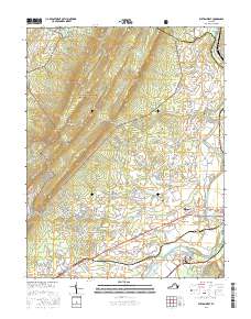
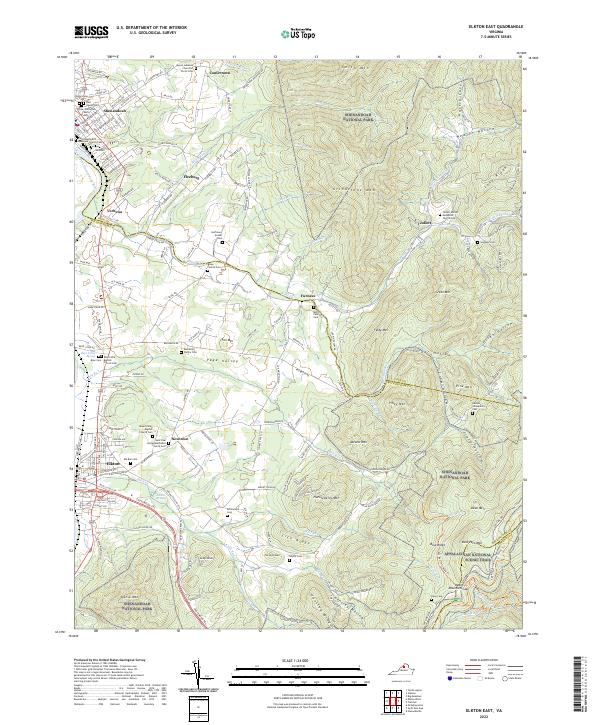 2022 Elkton East2022 Print · USGSThe eastern Blue Ridge and the Shenandoah Valley meet here, showing a landscape defined by high mountain ridges and deep hollows. Genealogists can trace family names through numerous burial sites like the Merica Family Cem, Samuels Cem, and Ed Hensley Cem.
 - 2022 Map of Elkton West, 2022 Print
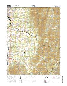
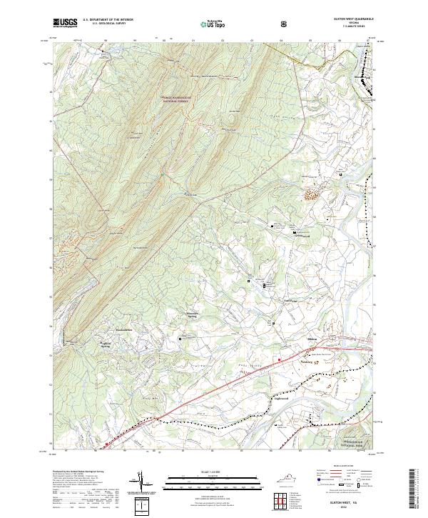 2022 Elkton West2022 Print · USGSThe rural Shenandoah Valley is captured here just as the modern decade began, spanning the gap between the national forest and the national park. Genealogists can trace family roots through numerous local burial grounds, including McCoy Cem, Dofflemyer Cem, and the Upper Room Church Cem.
End of results
Showing maps 1-21 of 21
Top cities near Elkton
- Massanetta Springs historical maps
- Broadway historical maps
- Grottoes historical maps
- Shenandoah historical maps
- Massanutten historical maps
- New Market historical maps
See more
Top neighborhoods of Elkton
Frequently asked questions
- What are the different types of historical maps available for Elkton?
- What is the oldest map of Elkton?
- Where can I purchase historical maps of Elkton for my home or office?
- Where can I download high-res historical maps of Elkton?
- Are there historical topographic maps available for Elkton?
- Is there historical aerial imagery available for Elkton?
- Where are historical maps of Elkton sourced from?